Demographics of Carmichael, CA
Affluence Level in Carmichael, CA
A middle-class area roughly in line with national averages across income, home values, education, and employment.
People of Carmichael, CA
Carmichael, California, is a stable, middle-class suburb of 78,070 residents that blends a strong sense of community with the conveniences of Sacramento-area living. The population is notably older and more settled than the regional average, with a character defined by its post-war housing stock, mature tree canopy, and a demographic profile that is 63.8% White, 14.9% Hispanic, 7.4% East/Southeast Asian, and 6.2% Black. Distinctive markers include a high rate of homeownership, a significant share of college-educated residents (35.6%), and a lower foreign-born population (7.6%) than many neighboring suburbs, reflecting a community built primarily by domestic migration over the last seventy years.
How the city was settled and grew
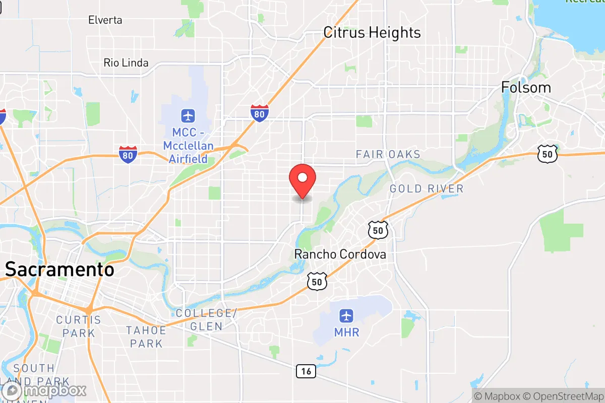
Carmichael was not a Gold Rush settlement or a railroad town. Its development began in earnest after World War II, when Sacramento’s population boom spilled eastward into the undeveloped oak woodlands of Sacramento County. The area was named after Daniel W. Carmichael, a Scottish-born landowner who arrived in the 1860s and established a fruit-growing ranch, but the community remained sparsely populated farmland until the 1940s. The real wave of settlement came with the post-war housing boom, driven by returning GIs, the expansion of state government in Sacramento, and the rise of the defense and aerospace industries at McClellan Air Force Base. Builders like the Carmichael Development Company carved large tracts of single-family homes out of former orchards, creating neighborhoods such as Carmichael Colony (centered on Mariposa Avenue) and the Carmichael Park area, which became the social and recreational heart of the new suburb. These early subdivisions were marketed almost exclusively to white, middle-class families, and the population grew rapidly from a few thousand in 1940 to over 40,000 by 1960. The Del Dayo neighborhood, with its larger lots and custom homes, attracted professionals and business owners, while the La Sierra area near the American River became a magnet for families seeking affordable ranch-style homes. By the 1960s, Carmichael was a fully built-out, car-dependent suburb with a distinct identity separate from both Sacramento and the more rural communities to the east.
Modern era (post-1965)
The post-1965 era brought gradual demographic change to Carmichael, though the pace was slower than in many other Sacramento suburbs. The closure of McClellan Air Force Base in 2001 under the Base Realignment and Closure (BRAC) process removed a major economic anchor and slowed population growth, but the community’s stable housing stock and good schools continued to attract families. The Carmichael Colony neighborhood saw an influx of Hispanic and Asian families beginning in the 1980s, drawn by affordable home prices and proximity to Sacramento’s growing service economy. The Northridge area, near the border with Citrus Heights, became a destination for Black and Filipino families moving out of older Sacramento neighborhoods. The East/Southeast Asian population, now 7.4% of the total, is concentrated in the La Sierra and Del Dayo areas, reflecting a pattern of upwardly mobile families seeking good school districts. The Indian subcontinent population remains very small at 0.6%, with no single neighborhood concentration. The Hispanic population, at 14.9%, is more dispersed but has a visible presence in the Carmichael Colony and Northridge areas. The white population, while still the majority, has declined from over 85% in 1980 to 63.8% today, a shift driven both by in-migration of minority families and by the out-migration of some white families to newer suburbs in Placer and El Dorado counties. The foreign-born share of 7.6% is low by California standards, indicating that most of the demographic change has come from domestic migration rather than international immigration.
The future
Carmichael’s population is projected to remain stable or grow slowly over the next decade, with most new development occurring through infill and the redevelopment of older commercial corridors like Fair Oaks Boulevard. The community is becoming slightly more diverse, but the pace of change is moderate compared to Sacramento proper or the fast-growing suburbs of Roseville and Folsom. The Hispanic and East/Southeast Asian shares are expected to continue rising gradually, while the white share will decline slowly. The Carmichael Colony and Northridge neighborhoods will likely see the most demographic turnover, while Del Dayo and La Sierra are expected to remain more stable due to higher home values and lower turnover rates. The closure of McClellan Air Force Base has been largely absorbed, and the area’s economy is now more tied to healthcare (Dignity Health’s Mercy San Juan Medical Center), education (San Juan Unified School District), and small businesses. The cultural identity of Carmichael is evolving from a classic post-war white suburb into a more diverse, multi-ethnic middle-class community, though it retains a distinctly suburban, family-oriented character that appeals to conservative-leaning households seeking good schools and safe neighborhoods.
For someone moving in now, Carmichael offers a stable, established community with a slower pace of demographic change than many other Sacramento-area suburbs. The population is becoming more diverse, but the core identity remains that of a post-war suburb with strong schools, mature neighborhoods, and a conservative-leaning, family-focused culture. The low foreign-born share and high homeownership rate suggest a community where most residents have deep local roots, making it a good fit for those seeking stability and continuity rather than rapid growth or urban energy.

* Values derived from national, state, county, city and local statistics and may differ in a specific area. Last updated: 2026-08-22T09:41:09.000Z
Narrative content on this page is AI-generated and may contain mistakes. Verify any details that matter before acting on them.
ReloMaps may earn a commission from affiliate links at no extra cost to you.

