Strategic Assessment of Carmichael, CA
Meaningful friction. Expect exposure to either population pressure, blast zones, or natural disaster risk. Consider buying a retreat property.
What does the Strategic Assessment tell us?
Our Strategic Assessment grades tactical survivability of an area. Major population centers, military targets, fallout zones, natural disasters, and border exposure all drive risk — lower exposure means a more defensible position in a crisis.
This is heavily inspired by Joel Skousen's Strategic Relocation book. Highly recommended you checkout the book ($)What does this tell us?
Our Strategic Assessment grades tactical survivability of an area. Major population centers, military targets, fallout zones, natural disasters, and border exposure all drive risk — lower exposure means a more defensible position in a crisis.
This is heavily inspired by Joel Skousen's Strategic Relocation book. Highly recommended you checkout the book ($)Strategic Pillars

Key Distances
Regional Safe Places
Below is our recommended "safe zones" in California and the surrounding area based on our strategic heuristics. For most people, it's unrealistic to live in a “safe zone” full-time due to work, family or other personal reasons. They tend to be more rural. However, many of these areas are perfect for second homes and retreat properties that double as a vacation home or even a short-term rental.




Important Note: For informational purposes only. This does not mean nothing bad ever happens in the green zones. Please use common sense. This is based on public data and modeled with AI. We tried to take a conservative approach but mistakes happen. We update this regularly as new information becomes available.
Solar Generator Recommendations
Backup power matters more here than in safer locations. We've picked three solar generators across budgets and capacity tiers — start with the budget unit if you only need a few essentials, or step up if you want to run a fridge and HVAC for days at a time.

Jackery Portable Power Station Explorer 300
Budget OptionPower on the Go: Weighing only 11 lbs, it's convenient to set up and store with book-sized foldable solar panels

BLUETTI Portable Power Station AC180
Designed for both indoor and outdoor scenarios, AC180 is highly capable as it has a robost capacity and continuous output power.

EF ECOFLOW DELTA Pro Ultra Power Station
Upgraded PickEcoFlow DELTA Pro Ultra is a whole-home energy system designed to grow with your family. Integrated with the Smart Home Panel 2, it scales to meet your evolving energy needs — keeping your home powered, intelligent, and secure through every stage of life.
We earn a commission, at no additional cost to you.
Strategic Assessment Analysis
Carmichael, California, offers a strategic blend of suburban stability and proximity to Sacramento’s resources, but its resilience profile is defined by a trade-off: it sits close enough to a major urban center and potential fallout targets to be vulnerable, yet far enough to retain some buffer. For a relocator weighing disaster readiness and self-sufficiency, Carmichael is not a remote redoubt—it’s a calculated middle ground where preparedness must compensate for location. The area’s real strength lies in its established infrastructure, moderate climate, and access to the Sierra Nevada foothills, but these advantages come with real exposure to earthquake risk, wildfire smoke, and the ripple effects of a metropolitan collapse.
Geographic position and natural advantages for long-term stability
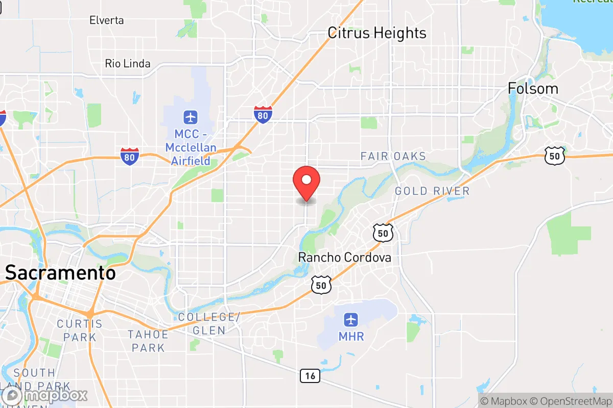
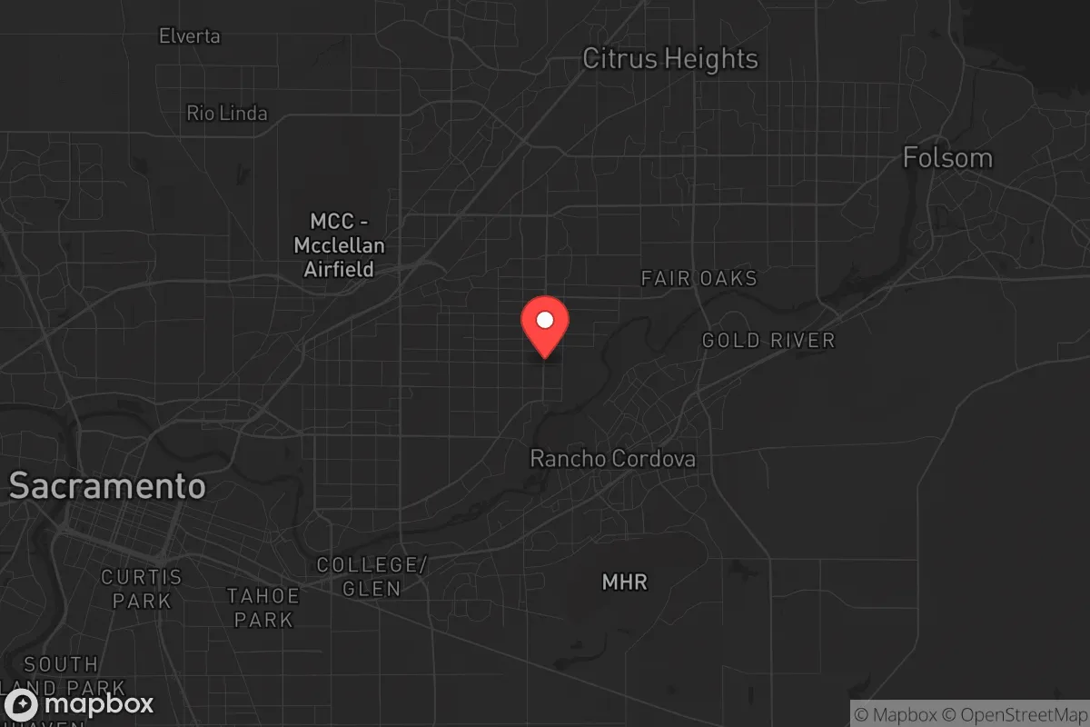
Carmichael sits in Sacramento County, roughly 12 miles northeast of downtown Sacramento, at the edge of the Central Valley where the terrain begins rising toward the Sierra Nevada foothills. This position provides several practical benefits. The area is not in a designated flood zone—unlike much of the Sacramento region—thanks to its slightly higher elevation (about 120 feet above sea level) and location away from the American River floodplain. The Mediterranean climate means mild, wet winters and hot, dry summers, with an average of 265 sunny days per year, which supports year-round gardening and solar energy generation. The region’s groundwater basin is substantial, and while municipal water comes from the Sacramento River via the American River watershed, many homes in Carmichael sit on lots large enough for private wells—though permitting and drilling costs vary. The proximity to the Sierra Nevada foothills (less than 30 minutes east) offers a natural retreat corridor for those with a vehicle and a plan, while the flat valley floor to the west provides agricultural land that could become critical in a prolonged disruption. Carmichael’s tree canopy—mature oaks and pines—provides shade and some microclimate cooling, but also presents a fire fuel concern in dry months.
Risks, exposures, and proximity to fallout-relevant landmarks
Carmichael’s biggest vulnerability is its location within the Sacramento metropolitan area, a region that includes state government infrastructure, major transportation hubs (Sacramento International Airport, I-80, I-5), and military-adjacent facilities like McClellan Air Force Base (now a business park, but historically a target). In a conflict scenario involving nuclear or EMP attack, Sacramento’s role as the state capital and a logistics node makes it a plausible target. Carmichael lies roughly 10–15 miles from the downtown core, placing it within the moderate damage zone for a ground burst on Sacramento—close enough to face fallout risk depending on wind patterns, but far enough that a well-prepared household with a basement or interior shelter could survive. The area is also within 100 miles of Travis Air Force Base (Fairfield) and Beale Air Force Base (Marysville), both high-value military targets. Natural risks are more immediate and frequent: the region sits near the Foothills Fault System and experiences occasional moderate earthquakes (the 1975 Oroville earthquake, magnitude 5.7, was felt strongly here), and while Carmichael itself is not in a high-risk fire zone, the surrounding wildland-urban interface in the foothills has seen catastrophic fires in recent years (e.g., the 2018 Camp Fire in Paradise, 90 miles north). Smoke events are annual and can last weeks, degrading air quality and complicating outdoor activity. On the positive side, Carmichael is not in a hurricane, tornado, or tsunami zone, and the flood risk is low relative to other parts of Sacramento County.
Practical resilience for a relocator: food, water, energy, and defensibility
For someone serious about self-sufficiency, Carmichael offers a mixed picture. The housing stock is dominated by single-family homes built between the 1950s and 1970s, many on quarter-acre lots with room for vegetable gardens, rainwater catchment, and small-scale livestock (chickens are common, and county regulations allow up to 25 hens without a permit). The soil is primarily sandy loam, well-draining and workable, though it benefits from amendment. Water access is the critical variable: municipal supply is reliable under normal conditions, but the Sacramento region faces long-term groundwater depletion and drought pressure. A private well is feasible on larger lots (half-acre or more), but drilling depths of 200–400 feet are common, and costs run $15,000–$30,000. Rainwater harvesting is legal and practical, with average annual rainfall of 20 inches, concentrated from November to March. Solar energy is viable—the region averages 5.5 peak sun hours per day—and many homes already have rooftop panels. Net metering is available through SMUD (Sacramento Municipal Utility District), which serves Carmichael and has a strong renewable portfolio. Battery storage is increasingly common. For defensibility, Carmichael is a typical suburban grid: cul-de-sacs, arterial roads, and a mix of fenced and open properties. It is not easily defensible in a tactical sense—too many entry points, too many neighbors—but it is not a high-crime area (violent crime rates are below the national average, property crime is moderate), and a prepared household with reinforced doors, window film, and a security system can harden a single property. The biggest practical concern is evacuation: in a fast-moving wildfire or urban crisis, the road network (mainly Fair Oaks Boulevard, Madison Avenue, and Watt Avenue) can clog quickly. Having a secondary vehicle, a go-bag, and a pre-planned route east into the foothills is essential.
Overall, Carmichael is a viable relocation option for someone who wants suburban convenience with a realistic path to moderate self-sufficiency, but it is not a bug-out location. Its strategic value lies in its balance: close enough to Sacramento for jobs, healthcare, and supply chains, but far enough to avoid the worst of an urban disaster’s immediate effects. The relocator who chooses Carmichael should invest in seismic retrofitting, a reliable water storage system, solar with battery backup, and a well-rehearsed evacuation plan. The area’s real resilience comes from its community—active neighborhood associations, a strong local food scene (farmers’ markets, CSAs), and a culture of preparedness that is more practical than prepper. For the single individual or family willing to put in the work, Carmichael offers a defensible position in a region that is neither a fortress nor a free-fire zone. It is a place to live well while staying ready—not a place to hide.

* Values derived from national, state, county, city and local statistics and may differ in a specific area. Last updated: 2026-08-22T09:41:09.000Z
Narrative content on this page is AI-generated and may contain mistakes. Verify any details that matter before acting on them.
ReloMaps may earn a commission from affiliate links at no extra cost to you.

