Photo: Wikipedia
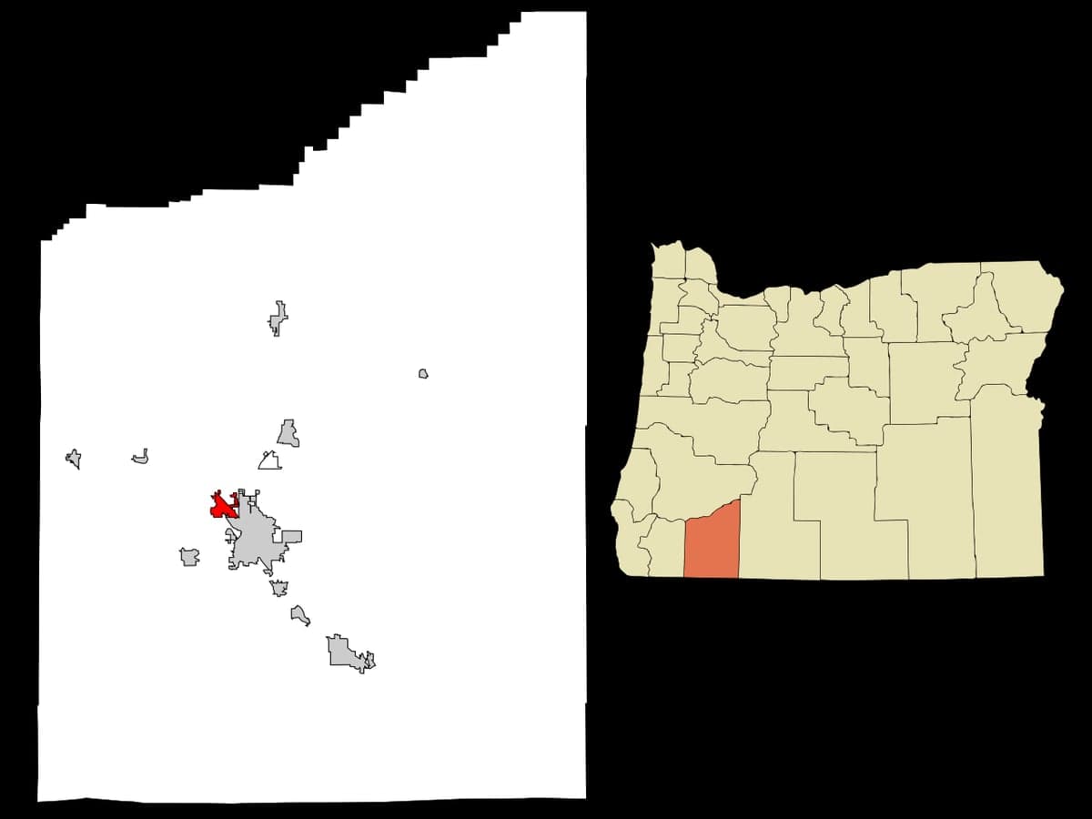
Strategic Assessment of Central Point, OR
Workable tactical position. Some exposure to population density or targets, but generally defensible in a crisis.
What does the Strategic Assessment tell us?
Our Strategic Assessment grades tactical survivability of an area. Major population centers, military targets, fallout zones, natural disasters, and border exposure all drive risk — lower exposure means a more defensible position in a crisis.
This is heavily inspired by Joel Skousen's Strategic Relocation book. Highly recommended you checkout the book ($)What does this tell us?
Our Strategic Assessment grades tactical survivability of an area. Major population centers, military targets, fallout zones, natural disasters, and border exposure all drive risk — lower exposure means a more defensible position in a crisis.
This is heavily inspired by Joel Skousen's Strategic Relocation book. Highly recommended you checkout the book ($)Strategic Pillars

Key Distances
Regional Safe Places
Below is our recommended "safe zones" in Oregon and the surrounding area based on our strategic heuristics. For most people, it's unrealistic to live in a “safe zone” full-time due to work, family or other personal reasons. They tend to be more rural. However, many of these areas are perfect for second homes and retreat properties that double as a vacation home or even a short-term rental.


Important Note: For informational purposes only. This does not mean nothing bad ever happens in the green zones. Please use common sense. This is based on public data and modeled with AI. We tried to take a conservative approach but mistakes happen. We update this regularly as new information becomes available.
Solar Generator Recommendations
Backup power matters more here than in safer locations. We've picked three solar generators across budgets and capacity tiers — start with the budget unit if you only need a few essentials, or step up if you want to run a fridge and HVAC for days at a time.

Jackery Portable Power Station Explorer 300
Budget OptionPower on the Go: Weighing only 11 lbs, it's convenient to set up and store with book-sized foldable solar panels

BLUETTI Portable Power Station AC180
Designed for both indoor and outdoor scenarios, AC180 is highly capable as it has a robost capacity and continuous output power.

EF ECOFLOW DELTA Pro Ultra Power Station
Upgraded PickEcoFlow DELTA Pro Ultra is a whole-home energy system designed to grow with your family. Integrated with the Smart Home Panel 2, it scales to meet your evolving energy needs — keeping your home powered, intelligent, and secure through every stage of life.
We earn a commission, at no additional cost to you.
Strategic Assessment Analysis
Central Point, Oregon, sits in a strategic sweet spot that few relocators fully appreciate: close enough to the Rogue Valley’s resources to be practical, yet far enough from Portland, Salem, and Eugene to avoid the worst of cascading urban collapse. Its position along the I-5 corridor offers both mobility and a buffer—if you know how to use it. For a conservative-leaning individual or family thinking about long-term resilience, this town checks several hard-to-find boxes: a defensible geography, a working agricultural base, and a community that still largely operates on self-reliance rather than government dependency.
Geographic position and natural advantages for long-term security
Central Point’s location at the southern end of the Rogue Valley places it in a natural basin ringed by the Siskiyou and Cascade mountain ranges. That topography provides a genuine defensive layer: any large-scale movement of people or goods from the north must funnel through the narrow I-5 corridor near Grants Pass, roughly 30 miles to the northwest. In a scenario of mass evacuation from Portland or the Willamette Valley, that bottleneck becomes a natural choke point. The area also sits above the major earthquake zones of the Pacific Northwest—the Cascadia subduction zone’s worst tsunami impacts are west of the Coast Range, and Central Point’s inland elevation (roughly 1,200 feet) keeps it clear of both coastal surge and riverine flooding from the Rogue River. The climate is a practical advantage too: mild winters and dry summers mean less strain on heating fuel, less road closure risk, and a longer growing season for anyone serious about food production. The valley’s volcanic soils are among the most fertile in the state, and the region already supports a robust network of small farms, orchards, and vineyards—assets that become critical when supply chains falter.
Risks, exposures, and proximity to fallout-relevant landmarks
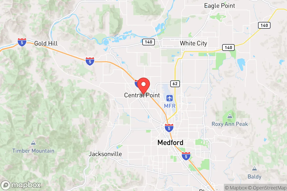
No location is immune, and Central Point has its own set of vulnerabilities that a strategic relocator must weigh. The most obvious is I-5 itself. While the highway offers access, it also makes the town a potential transit corridor for displaced populations, looters, or organized groups moving south. In a breakdown scenario, the Medford urban area—just five miles east—could become a source of instability. Medford’s population of roughly 85,000, combined with its regional hospital, airport, and rail yard, makes it a likely target for both government staging and criminal exploitation. Central Point’s proximity means you’re close enough to feel the ripple effects but not so close that you’re inside the blast radius of a major event. There are no nuclear power plants within 150 miles, and the nearest major military installation is Kingsley Field Air National Guard Base in Klamath Falls, about 70 miles east—a low-risk target compared to bases near Portland or Seattle. The bigger concern is the potential for civil unrest spilling out of larger West Coast cities. Portland is roughly 270 miles north, but in a fast-moving crisis, that distance can evaporate in 48 hours if roadblocks aren’t established. The Rogue Valley’s conservative lean—Jackson County voted +14 R in 2024—means the local population is less likely to initiate unrest, but it also means the area could become a destination for those fleeing chaos elsewhere, straining local resources.
Practical resilience for a relocator: food, water, energy, and defensibility
For someone serious about self-sufficiency, Central Point offers a rare combination of immediate access and long-term sustainability. The Rogue Valley’s water rights are a critical asset. The Rogue River and its tributaries provide reliable surface water, and the area’s groundwater aquifers are less depleted than those in California’s Central Valley or the Willamette Valley. A well-drilled property with a hand pump or solar-powered pump can secure a household’s water supply independent of municipal systems. The growing season runs from April through October, long enough for two crop cycles in many cases, and the local soil supports everything from apples and pears to tomatoes and peppers. Seed banks, livestock feed, and farming supplies are available locally through Southern Oregon’s agricultural network. Energy resilience is also viable: the region gets over 300 sunny days per year, making solar a practical primary or backup power source. Wood heating is common, with ample firewood from the surrounding national forests—though fire risk in dry months means defensible space is non-negotiable. Defensibility at the property level is good if you choose wisely. The area outside city limits offers rural parcels with natural sightlines, limited road access, and neighbor distances that reduce the risk of conflict. The local sheriff’s office in Jackson County is known for a pro-Second Amendment stance, and the county has a strong culture of private firearm ownership. That cultural factor matters: in a prolonged disruption, a community that is armed and accustomed to self-reliance is far more stable than one that expects government rescue.
The overall strategic picture for Central Point is one of calculated opportunity. It is not a remote bunker location—it is a working, livable town with real infrastructure and a population that largely shares the values of personal responsibility and preparedness. The risks are manageable if you plan for them: maintain a low profile, secure your water and energy sources, and build relationships with neighbors before a crisis hits. The town’s position as a secondary hub in the Rogue Valley means you get the benefits of regional resources without the target density of a major city. For a conservative relocator looking to balance daily quality of life with genuine long-term resilience, Central Point deserves serious consideration—provided you treat it as a base to be fortified, not a destination to be consumed.
* Values derived from national, state, county, city and local statistics and may differ in a specific area. Last updated: 2026-05-03T16:58:06.000Z
Narrative content on this page is AI-generated and may contain mistakes. Verify any details that matter before acting on them.
ReloMaps may earn a commission from affiliate links at no extra cost to you.