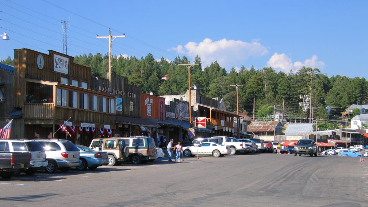
Photo: Wikipedia
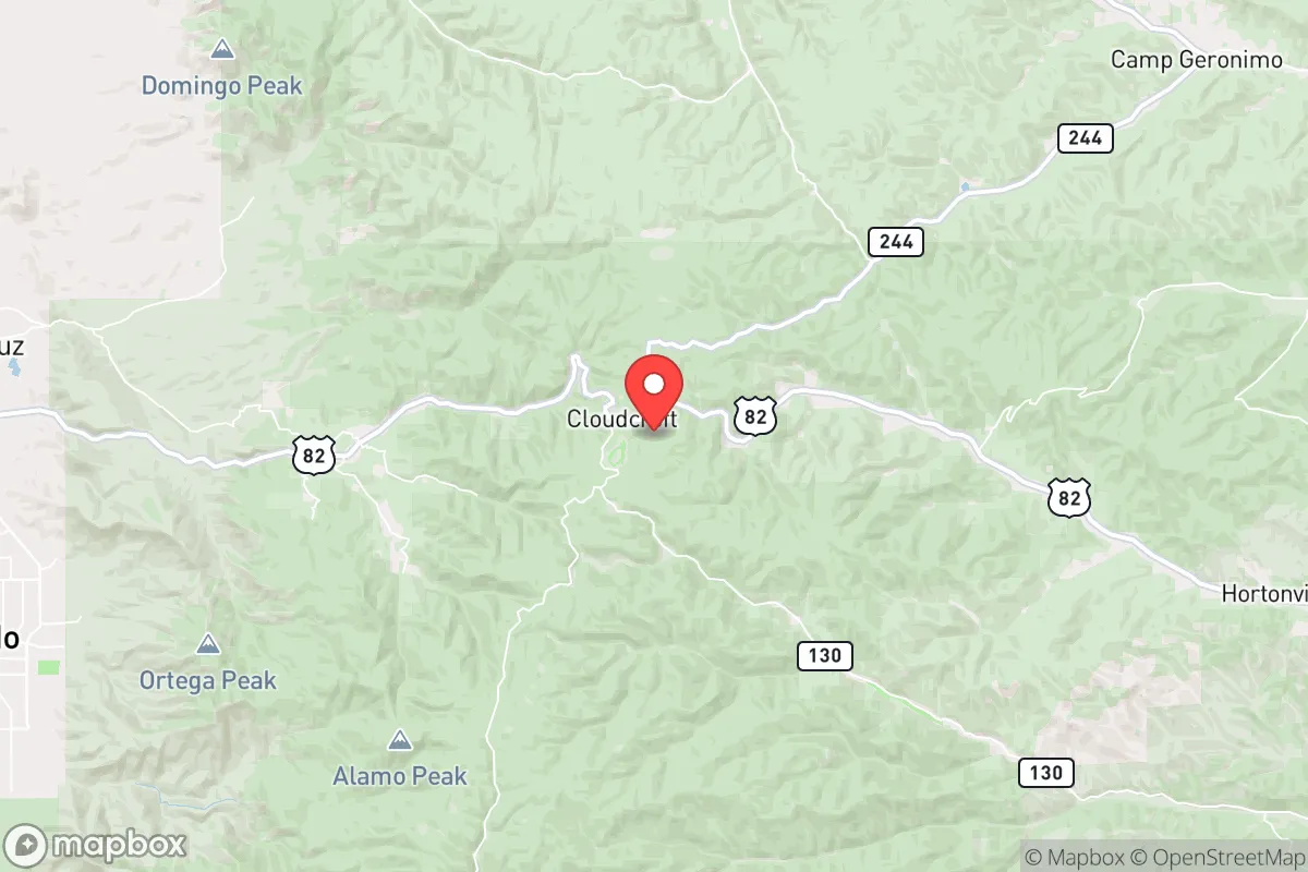
Strategic Assessment of Cloudcroft, NM
Workable tactical position. Some exposure to population density or targets, but generally defensible in a crisis.
What does the Strategic Assessment tell us?
Our Strategic Assessment grades tactical survivability of an area. Major population centers, military targets, fallout zones, natural disasters, and border exposure all drive risk — lower exposure means a more defensible position in a crisis.
This is heavily inspired by Joel Skousen's Strategic Relocation book. Highly recommended you checkout the book ($)What does this tell us?
Our Strategic Assessment grades tactical survivability of an area. Major population centers, military targets, fallout zones, natural disasters, and border exposure all drive risk — lower exposure means a more defensible position in a crisis.
This is heavily inspired by Joel Skousen's Strategic Relocation book. Highly recommended you checkout the book ($)Strategic Pillars

Key Distances
Regional Safe Places
Below is our recommended "safe zones" in New Mexico and the surrounding area based on our strategic heuristics. For most people, it's unrealistic to live in a “safe zone” full-time due to work, family or other personal reasons. They tend to be more rural. However, many of these areas are perfect for second homes and retreat properties that double as a vacation home or even a short-term rental.

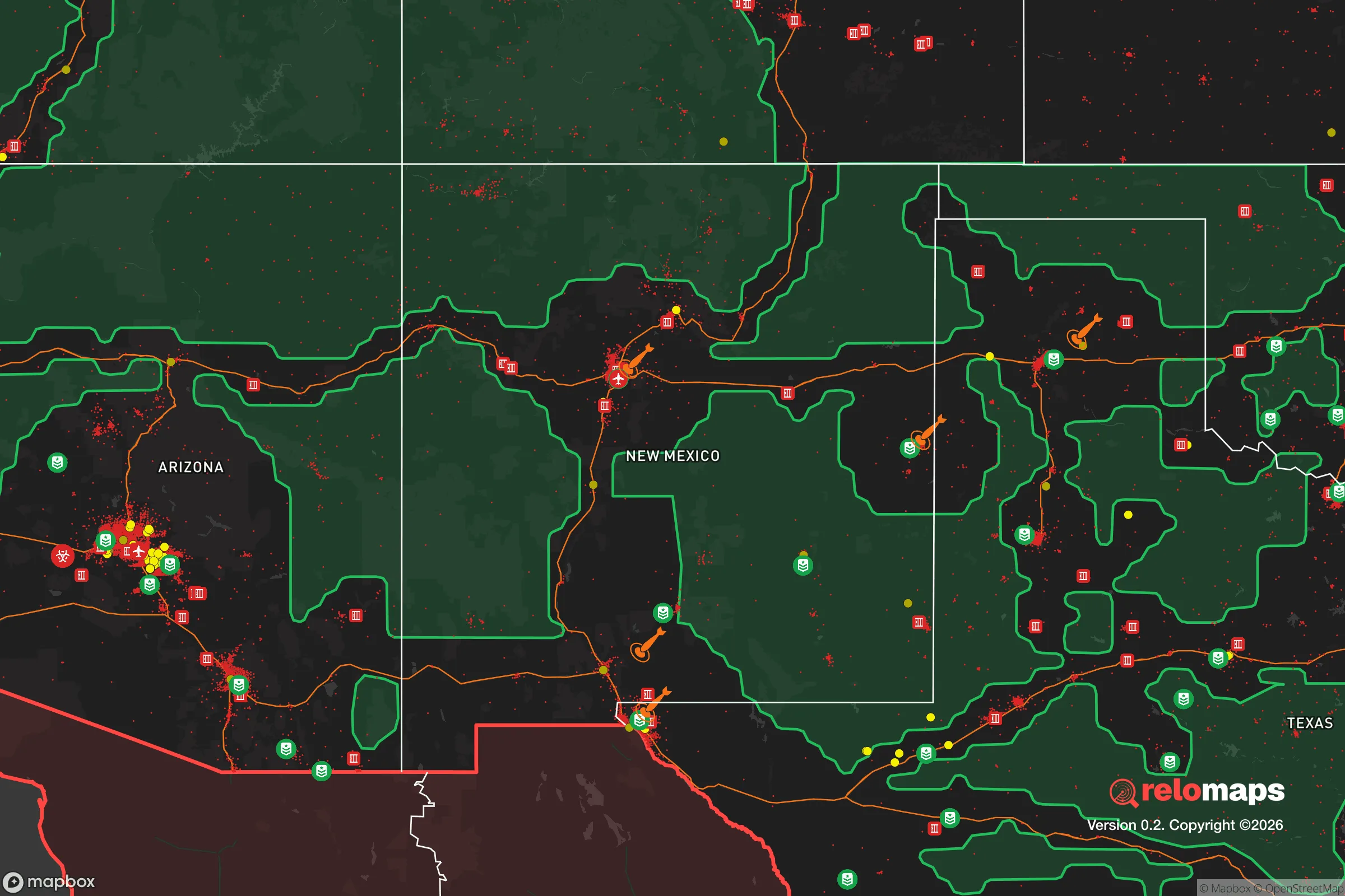
Important Note: For informational purposes only. This does not mean nothing bad ever happens in the green zones. Please use common sense. This is based on public data and modeled with AI. We tried to take a conservative approach but mistakes happen. We update this regularly as new information becomes available.
Solar Generator Recommendations
Backup power matters more here than in safer locations. We've picked three solar generators across budgets and capacity tiers — start with the budget unit if you only need a few essentials, or step up if you want to run a fridge and HVAC for days at a time.

Jackery Portable Power Station Explorer 300
Budget OptionPower on the Go: Weighing only 11 lbs, it's convenient to set up and store with book-sized foldable solar panels

BLUETTI Portable Power Station AC180
Designed for both indoor and outdoor scenarios, AC180 is highly capable as it has a robost capacity and continuous output power.

EF ECOFLOW DELTA Pro Ultra Power Station
Upgraded PickEcoFlow DELTA Pro Ultra is a whole-home energy system designed to grow with your family. Integrated with the Smart Home Panel 2, it scales to meet your evolving energy needs — keeping your home powered, intelligent, and secure through every stage of life.
We earn a commission, at no additional cost to you.
Strategic Assessment Analysis
Cloudcroft, New Mexico, sits at 8,600 feet in the Sacramento Mountains, offering a strategic relocation option for those prioritizing physical separation from urban collapse zones and natural disaster buffers. Its elevation, limited access roads, and remote forested setting provide a defensible position against the cascading failures expected in a societal breakdown scenario, while its proximity to the White Sands Missile Range and Holloman Air Force Base introduces both unique risks and potential post-event opportunities. For a conservative-leaning prepper or survivalist, Cloudcroft represents a calculated trade-off: high natural resilience paired with a non-trivial exposure to military-industrial targets.
Geographic isolation and natural defensive advantages
Cloudcroft’s primary strategic asset is its location atop the Sacramento Mountains, a natural fortress that limits approach vectors and provides commanding views of the Tularosa Basin below. The town is accessible primarily via U.S. Highway 82, a winding two-lane road that climbs 3,000 feet from the desert floor—a chokepoint easily monitored and, if necessary, blocked. The surrounding Lincoln National Forest offers dense cover, abundant timber for construction or fuel, and multiple natural water sources in the form of springs and seasonal creeks. The elevation also means cooler temperatures year-round, reducing heat-related survival stress and slowing the spread of wildfire compared to lower-elevation New Mexico communities. For a relocator seeking a retreat that is hard to approach and easy to defend, Cloudcroft’s geography is a strong foundation.
Proximity to military targets and fallout exposure risks
The most significant vulnerability in Cloudcroft’s strategic picture is its 30-mile proximity to the White Sands Missile Range and Holloman Air Force Base. These are high-value targets in any major conflict involving the United States, and a nuclear strike on either facility would produce fallout that could reach Cloudcroft within hours, depending on wind patterns. The prevailing winds in the region blow from the southwest, meaning a strike on White Sands could push radioactive debris directly toward the Sacramento Mountains. Additionally, the missile range conducts regular tests of hypersonic and ballistic systems, which, while not an immediate danger, signals the area’s centrality to U.S. strategic operations. For a prepper, this means Cloudcroft is not a “zero-risk” location—it requires a fallout shelter plan, potassium iodide stockpiles, and a monitoring system for airborne contamination. The trade-off is that the same military presence also means a higher likelihood of post-event security response and potential access to supply chains if the base survives.
Practical resilience: food, water, energy, and defensibility
Cloudcroft’s practical resilience for a relocator is mixed but workable with preparation. Water is the most critical concern: the town relies on a municipal system drawing from springs and wells, but in a grid-down scenario, private wells and rainwater catchment become essential. The area receives about 20 inches of precipitation annually, mostly as snow, which can be melted and stored—but a prepper should plan for at least a 90-day water reserve. Food production is limited by the short growing season (May to September) and thin, rocky soil, though raised beds and greenhouses can extend it. Local game includes mule deer, elk, and turkey, providing a protein source for those with hunting skills. Energy independence is achievable: the high elevation means strong solar potential, though snow cover in winter requires panel tilting or ground-mounted arrays. Wood heating is the default for many homes, and the surrounding forest provides ample fuel—but a prepper should have a chainsaw, splitting tools, and a dry storage shed. Defensibility is excellent due to the limited road access and the town’s layout on a ridge, with most homes set back from main roads. The local population is small (under 2,000), and the culture leans conservative and self-reliant, meaning neighbors are more likely to band together than to become a threat. However, the town’s reliance on tourism (skiing, hiking) means that in a crisis, outsiders may attempt to flee into the mountains, creating a temporary security challenge.
Overall strategic picture for the conservative relocator
Cloudcroft is not a bug-out location for the unprepared—it demands serious pre-planning in water storage, food production, and fallout mitigation. But for a relocator who can invest in a self-sufficient homestead with a reinforced shelter, it offers a rare combination of natural defensibility, low population density, and a community that shares core values of independence and preparedness. The military target risk is real but manageable with proper planning, and the area’s isolation from major urban centers (Albuquerque is 150 miles away, El Paso 90 miles) means you won’t be overrun by refugees from a city collapse. If you’re looking for a place where you can hunker down, grow your own food, and trust your neighbors to have your back, Cloudcroft deserves a serious look—just don’t skip the fallout shelter.
* Values derived from national, state, county, city and local statistics and may differ in a specific area. Last updated: 2026-05-28T19:04:18.000Z
Narrative content on this page is AI-generated and may contain mistakes. Verify any details that matter before acting on them.
ReloMaps may earn a commission from affiliate links at no extra cost to you.