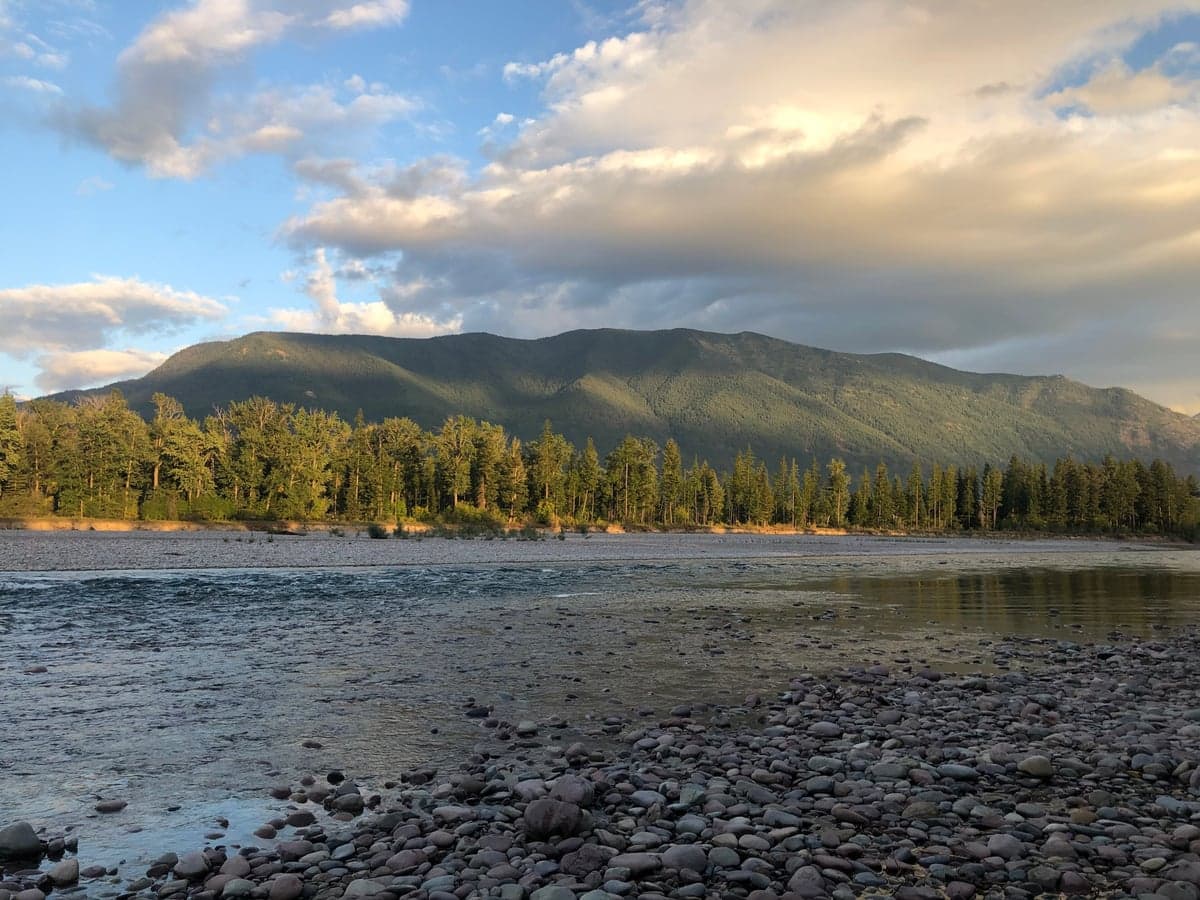
Photo: Wikipedia
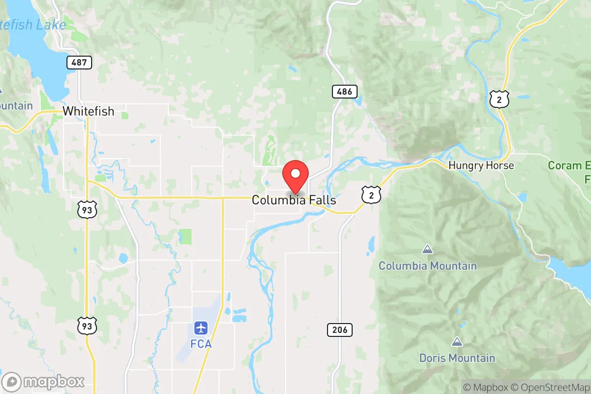
Strategic Assessment of Columbia Falls, MT
Workable tactical position. Some exposure to population density or targets, but generally defensible in a crisis.
What does the Strategic Assessment tell us?
Our Strategic Assessment grades tactical survivability of an area. Major population centers, military targets, fallout zones, natural disasters, and border exposure all drive risk — lower exposure means a more defensible position in a crisis.
This is heavily inspired by Joel Skousen's Strategic Relocation book. Highly recommended you checkout the book ($)What does this tell us?
Our Strategic Assessment grades tactical survivability of an area. Major population centers, military targets, fallout zones, natural disasters, and border exposure all drive risk — lower exposure means a more defensible position in a crisis.
This is heavily inspired by Joel Skousen's Strategic Relocation book. Highly recommended you checkout the book ($)Strategic Pillars

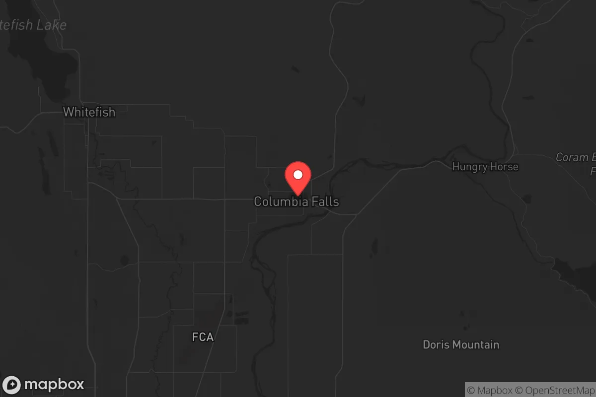
Key Distances
Regional Safe Places
Below is our recommended "safe zones" in Montana and the surrounding area based on our strategic heuristics. For most people, it's unrealistic to live in a “safe zone” full-time due to work, family or other personal reasons. They tend to be more rural. However, many of these areas are perfect for second homes and retreat properties that double as a vacation home or even a short-term rental.
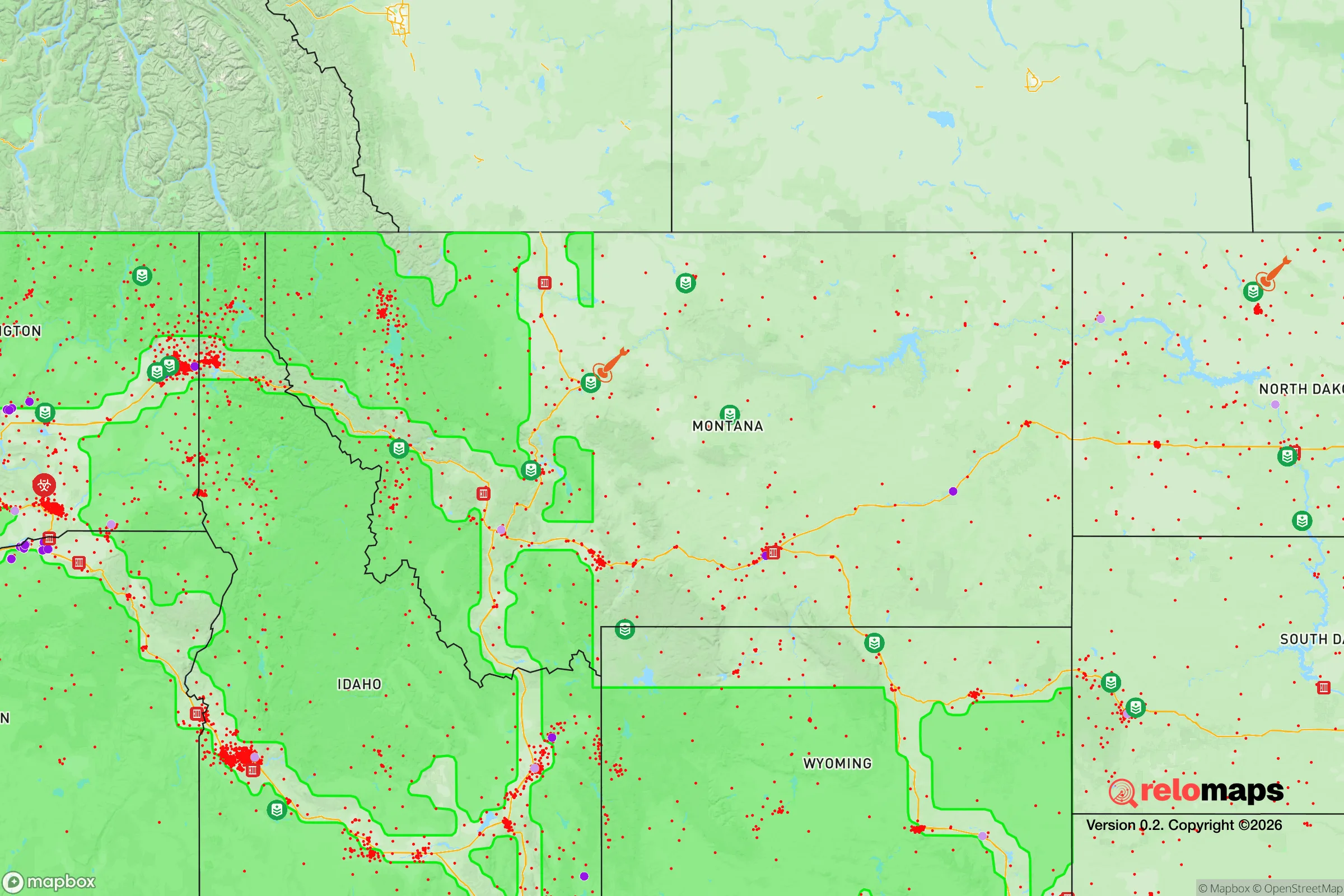

Important Note: For informational purposes only. This does not mean nothing bad ever happens in the green zones. Please use common sense. This is based on public data and modeled with AI. We tried to take a conservative approach but mistakes happen. We update this regularly as new information becomes available.
Solar Generator Recommendations
Backup power matters more here than in safer locations. We've picked three solar generators across budgets and capacity tiers — start with the budget unit if you only need a few essentials, or step up if you want to run a fridge and HVAC for days at a time.

Jackery Portable Power Station Explorer 300
Budget OptionPower on the Go: Weighing only 11 lbs, it's convenient to set up and store with book-sized foldable solar panels

BLUETTI Portable Power Station AC180
Designed for both indoor and outdoor scenarios, AC180 is highly capable as it has a robost capacity and continuous output power.

EF ECOFLOW DELTA Pro Ultra Power Station
Upgraded PickEcoFlow DELTA Pro Ultra is a whole-home energy system designed to grow with your family. Integrated with the Smart Home Panel 2, it scales to meet your evolving energy needs — keeping your home powered, intelligent, and secure through every stage of life.
We earn a commission, at no additional cost to you.
Strategic Assessment Analysis
Columbia Falls, Montana offers a strategic relocation option for those prioritizing resilience, offering a blend of geographic isolation and practical access to resources that is rare in the lower 48. This small town, nestled just north of Kalispell and west of Glacier National Park, provides a defensible position against the cascading failures of urban centers while maintaining a functional connection to supply chains and medical infrastructure. For the prepper or survivalist, its location is the primary asset—far enough from major population centers to avoid the initial shock of a collapse, yet close enough to leverage regional assets like the Flathead River and the surrounding national forest for long-term sustainability.
Geographic position and natural advantages for long-term survival
Columbia Falls sits in the Flathead Valley, a natural bowl ringed by the Swan, Whitefish, and Salish mountain ranges, with Glacier National Park forming its eastern border. This topography creates a natural funnel for travel, meaning the few roads into the area—primarily US-2 and MT-40—are easily monitored and, if necessary, blocked. The valley floor is fertile, with a growing season long enough for cold-hardy crops like potatoes, carrots, and kale, and the surrounding forests are thick with pine, fir, and larch for timber and fuel. The Flathead River runs directly through town, providing a reliable surface water source that, with proper filtration, can sustain a household indefinitely. The area's elevation (around 3,000 feet) and latitude mean summers are mild and winters are cold and snowy, which is a double-edged sword: it deters unprepared migrants but requires serious cold-weather gear and fuel storage. The Hungry Horse Dam, just 15 miles east, is a critical piece of infrastructure—it generates hydroelectric power and regulates the Flathead River, meaning a grid-down scenario still leaves a potential local power source if the dam remains operational or can be secured by a community.
Risks, exposures, and proximity to fallout-relevant landmarks
No location is a fortress, and Columbia Falls has specific vulnerabilities that a strategic relocator must weigh. The most obvious risk is proximity to Kalispell (15 miles south) and Whitefish (10 miles west), which together hold roughly 30,000 people. In a mass casualty event or civil unrest, these towns could become sources of refugee flow, looting parties, or resource competition. The Flathead Valley is a tourist destination, meaning summer populations swell with visitors who have no local ties, increasing the risk of transient desperation. On the fallout front, the area is relatively safe: there are no nuclear power plants within 200 miles, and the nearest major military target—Malmstrom Air Force Base in Great Falls (200 miles east)—is far enough that prevailing westerly winds would carry fallout away from the valley. However, the BNSF Railway line that runs through Columbia Falls is a double-edged sword: it's a key freight corridor for grain and fuel, making it a potential target for sabotage or a vector for hazardous material spills. The Columbia Falls Aluminum Company site, a former industrial plant with a Superfund history, is a local environmental hazard—its tailings ponds and contaminated soil could become a health issue if cleanup stalls or the site is abandoned during a crisis. Finally, the area's dependence on a single major highway (US-2) for resupply means any blockage—from a rockslide to a roadblock—could isolate the town for days or weeks.
Practical resilience for a relocator: food, water, energy, and defensibility
For a single individual or family, Columbia Falls offers a strong baseline for self-sufficiency, but it requires upfront work. Water is the easiest win: the Flathead River and its tributaries (like the Columbia River, which actually starts here) provide year-round flow, and the local water table is high enough that shallow wells are common. A simple hand pump or a Berkey filter system can secure drinking water indefinitely. Food production is viable but not effortless: the growing season is only about 100-120 days, so cold frames, greenhouses, or hydroponic setups are necessary for year-round harvests. The surrounding national forest offers hunting (deer, elk, black bear) and fishing (trout, whitefish), but game pressure is moderate and will increase in a collapse scenario. Energy is a mixed bag: grid power is reliable in normal times, but winter storms can knock it out for days. Solar is viable (the valley gets about 300 sunny days per year), but snow cover on panels is a real issue—ground-mounted arrays with tilt adjustments or a small wind turbine (the valley is windy in spring and fall) are better bets. Wood heat is the default backup, and the national forest allows firewood collection with a permit. Defensibility is the area's strongest suit: the town itself is small (population ~5,500), with a tight-knit community where everyone knows their neighbors. The local sheriff's office is responsive, and the Flathead County Sheriff's Department has a strong reputation for conservative law enforcement, meaning a well-armed and prepared household is unlikely to face legal harassment. The terrain around town—dense forest, steep hills, and river crossings—makes it easy to set up observation points or retreat further into the backcountry if needed. The Glacier National Park boundary to the east provides a vast, roadless buffer zone that could serve as a fallback position, though it's also a potential route for desperate hikers.
The overall strategic picture for Columbia Falls is one of high potential with manageable trade-offs. It is not a bug-out location for the unprepared—the harsh winters and remote supply lines will filter out those who arrive without a plan. But for a disciplined relocator with a prepper mindset, it offers a rare combination of natural resources, defensible terrain, and community cohesion. The risks from Kalispell and Whitefish are real but can be mitigated by establishing a network of trusted locals and maintaining a low profile. The absence of major military or industrial targets within fallout range is a significant advantage over many other mountain towns in the West. If the goal is to ride out a decade of instability while maintaining a semblance of normal life—raising kids, growing food, and keeping a low profile—Columbia Falls is a solid bet. Just don't expect to be able to buy a generator at the local hardware store after the first panic wave hits. Get there early, get established, and keep your head down.
* Values derived from national, state, county, city and local statistics and may differ in a specific area. Last updated: 2026-04-29T22:11:44.000Z
Narrative content on this page is AI-generated and may contain mistakes. Verify any details that matter before acting on them.
ReloMaps may earn a commission from affiliate links at no extra cost to you.