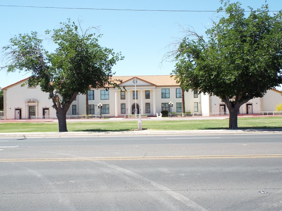
Photo: Wikipedia
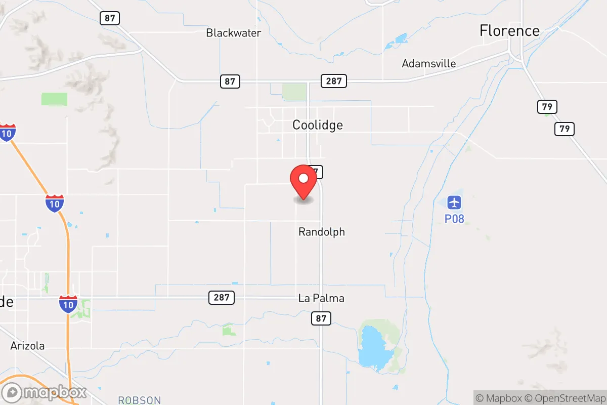
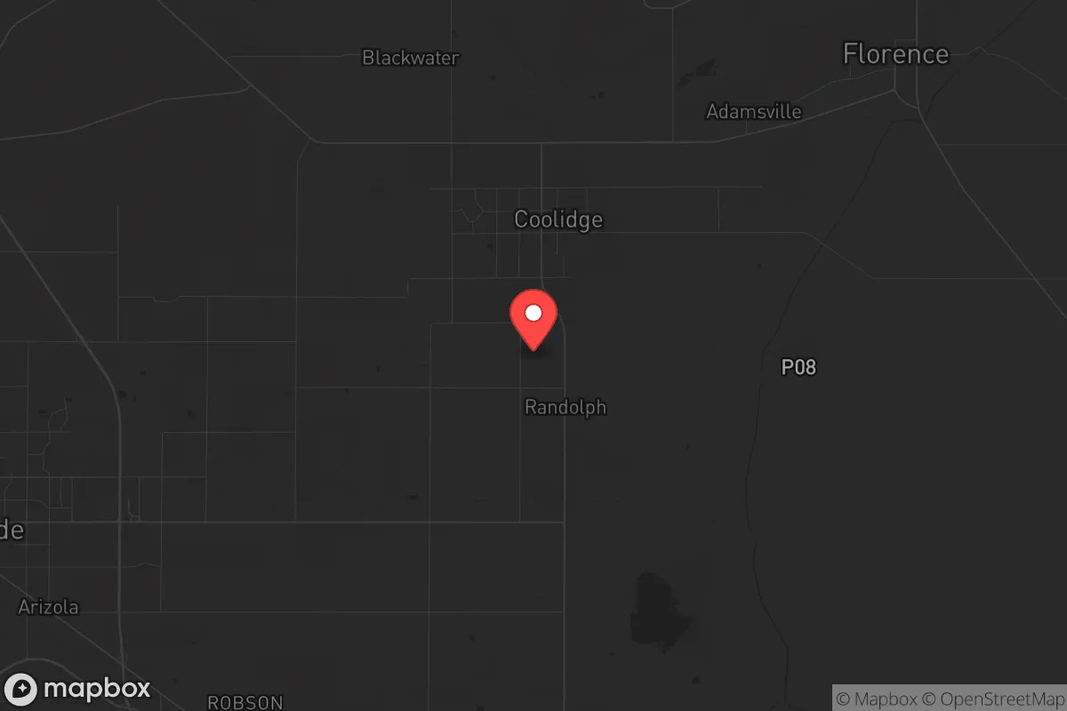
Strategic Assessment of Coolidge, AZ
Meaningful friction. Expect exposure to either population pressure, blast zones, or natural disaster risk. Consider buying a retreat property.
What does the Strategic Assessment tell us?
Our Strategic Assessment grades tactical survivability of an area. Major population centers, military targets, fallout zones, natural disasters, and border exposure all drive risk — lower exposure means a more defensible position in a crisis.
This is heavily inspired by Joel Skousen's Strategic Relocation book. Highly recommended you checkout the book ($)What does this tell us?
Our Strategic Assessment grades tactical survivability of an area. Major population centers, military targets, fallout zones, natural disasters, and border exposure all drive risk — lower exposure means a more defensible position in a crisis.
This is heavily inspired by Joel Skousen's Strategic Relocation book. Highly recommended you checkout the book ($)Strategic Pillars

Key Distances
Regional Safe Places
Below is our recommended "safe zones" in Arizona and the surrounding area based on our strategic heuristics. For most people, it's unrealistic to live in a “safe zone” full-time due to work, family or other personal reasons. They tend to be more rural. However, many of these areas are perfect for second homes and retreat properties that double as a vacation home or even a short-term rental.
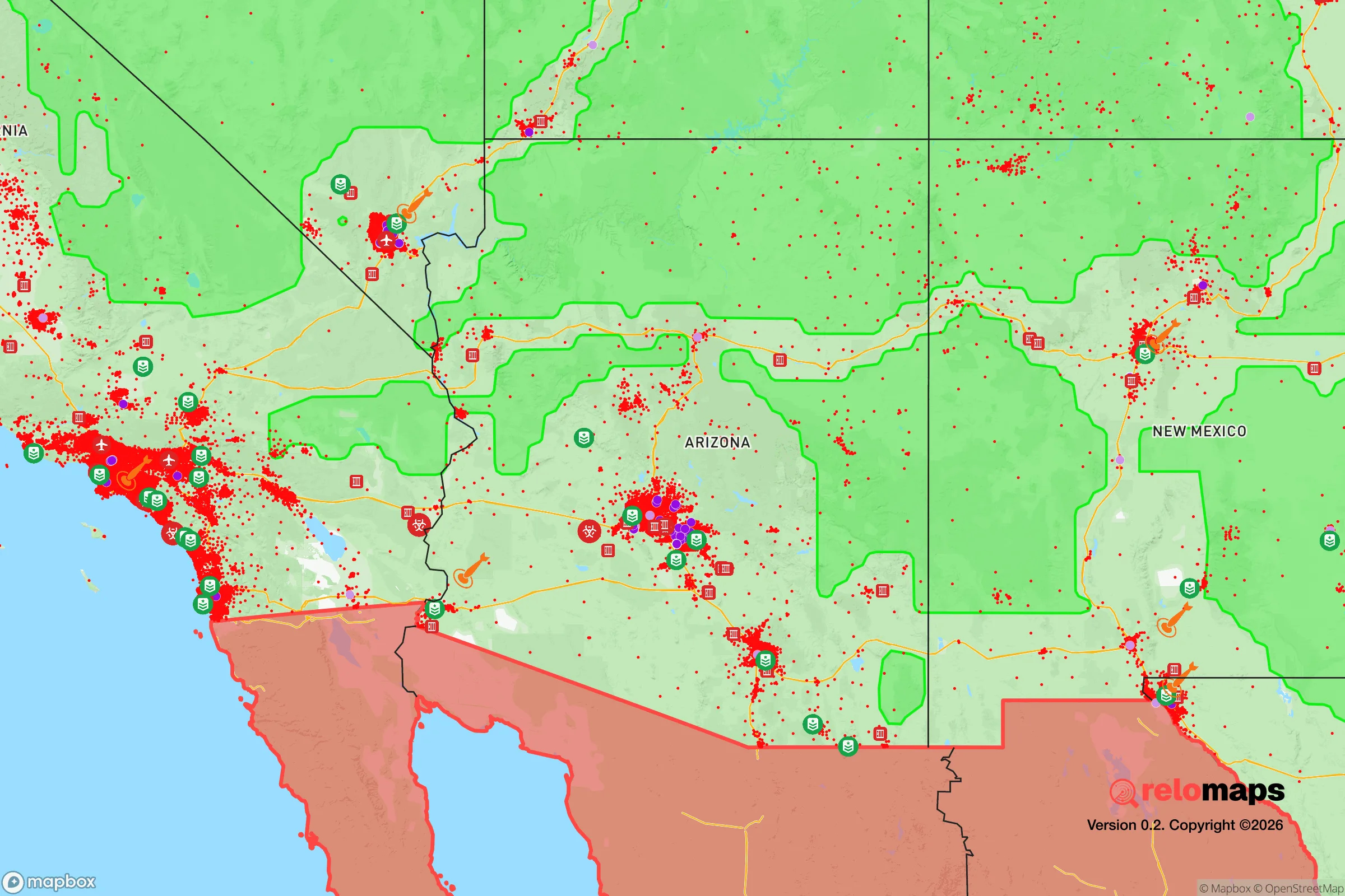
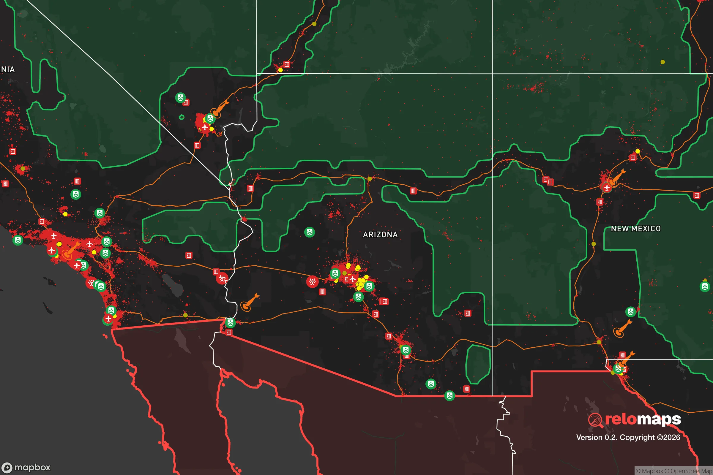
Important Note: For informational purposes only. This does not mean nothing bad ever happens in the green zones. Please use common sense. This is based on public data and modeled with AI. We tried to take a conservative approach but mistakes happen. We update this regularly as new information becomes available.
Solar Generator Recommendations
Backup power matters more here than in safer locations. We've picked three solar generators across budgets and capacity tiers — start with the budget unit if you only need a few essentials, or step up if you want to run a fridge and HVAC for days at a time.

Jackery Portable Power Station Explorer 300
Budget OptionPower on the Go: Weighing only 11 lbs, it's convenient to set up and store with book-sized foldable solar panels

BLUETTI Portable Power Station AC180
Designed for both indoor and outdoor scenarios, AC180 is highly capable as it has a robost capacity and continuous output power.

EF ECOFLOW DELTA Pro Ultra Power Station
Upgraded PickEcoFlow DELTA Pro Ultra is a whole-home energy system designed to grow with your family. Integrated with the Smart Home Panel 2, it scales to meet your evolving energy needs — keeping your home powered, intelligent, and secure through every stage of life.
We earn a commission, at no additional cost to you.
Strategic Assessment Analysis
Coolidge, Arizona, sits in a geographic sweet spot that offers genuine strategic depth for those thinking seriously about resilience, but it’s not without trade-offs. Located roughly halfway between Phoenix and Tucson along the I-10 corridor, the town benefits from being far enough from both major metro areas to avoid the worst of urban collapse scenarios—riots, supply chain failures, mass casualty events—while still close enough to access critical resources when the grid is up. The surrounding Pinal County terrain is open, arid, and sparsely populated, which provides natural buffer zones and multiple egress routes, but the same flat expanses that make for good agriculture also mean limited natural cover. For a relocator with a prepper mindset, Coolidge offers a foundation, but the strategic picture demands a clear-eyed look at both its defensive strengths and its exposure to the cascading risks of a destabilized Southwest.
Geographic position and natural advantages for long-term survival
Coolidge’s location at the intersection of State Routes 87 and 287 gives it a logistical advantage that’s hard to overstate. You’re 45 minutes from Phoenix Sky Harbor if you need to evacuate by air, but more importantly, you’re within an hour’s drive of multiple secondary roads that bypass the I-10 choke points—routes like the Florence-Kelvin Highway or the Pinal Pioneer Parkway. The area sits on the edge of the Sonoran Desert, which means annual rainfall is under 10 inches, reducing the risk of flooding or mudslides that could cut off access. The Gila River runs just south of town, and while it’s often dry, the underlying aquifer is substantial—Coolidge’s municipal water comes from groundwater, and the surrounding agricultural land has deep irrigation wells. For a prepper, this means water availability is better than most desert towns, provided you have the means to drill or access a well. The flat terrain also makes solar power viable year-round, with over 300 days of sunshine annually, so off-grid energy is a realistic option. The natural advantages here are real, but they’re passive—they don’t protect you from human threats, only from environmental ones.
Risks, exposures, and proximity to fallout-relevant landmarks
Here’s where the analysis gets sobering. Coolidge is less than 20 miles from the Palo Verde Nuclear Generating Station, the largest nuclear power plant in the United States by net generation. While the plant has a strong safety record, a major incident—whether from sabotage, earthquake, or cascading grid failure—would put Coolidge directly in the plume path, given prevailing winds from the west. That’s a hard reality for anyone prioritizing fallout avoidance. Additionally, the town is within 30 miles of Davis-Monthan Air Force Base in Tucson, a major strategic asset that could become a target in a conflict scenario. The I-10 corridor itself is a double-edged sword: it provides mobility, but in a mass evacuation event, it becomes a parking lot and a target for civil unrest. Coolidge also sits near the intersection of multiple high-voltage transmission lines feeding Phoenix, meaning grid instability or EMP effects could cascade here quickly. The flat, open landscape offers little in the way of natural cover or defensible terrain—your retreat would rely on man-made barriers and situational awareness rather than hills, forests, or chokepoints. For a relocator, these aren’t deal-breakers, but they demand serious mitigation planning: a fallout shelter, multiple water storage solutions, and a vehicle capable of off-road egress are non-negotiable.
Practical resilience for a relocator: food, water, energy, and defensibility
On the practical side, Coolidge has genuine strengths for those willing to invest in infrastructure. The town is surrounded by over 100,000 acres of irrigated farmland, producing cotton, alfalfa, and specialty crops. In a prolonged disruption, local food production is a major advantage—you can barter, buy direct from farmers, or even lease small plots for personal cultivation. The water situation is workable: the Coolidge Municipal Water system draws from the Salt River Project and local wells, but for resilience, a private well drilled to 300-500 feet is the gold standard, and many properties in the outskirts already have them. Solar is straightforward here—rooftop panels with battery storage can run a well pump, lights, and refrigeration indefinitely, and the lack of tree cover means no shading issues. Defensibility is the weak link. The town itself is a grid of flat streets with limited natural chokepoints. A better approach is to look at properties on the eastern or southern edges, where the terrain becomes slightly more broken with arroyos and low hills. Rural lots of 5-20 acres are still affordable—prices in 2025-2026 range from $15,000 to $40,000 per acre, far cheaper than Phoenix exurbs. For a single individual or family, a well-fortified homestead with a perimeter wall, reinforced gates, and a clear line of sight to approach roads is the realistic baseline. Community-wise, Coolidge has a small-town feel with a population around 15,000, and the local culture is heavily agricultural and conservative—you’ll find like-minded neighbors, but don’t expect a prepper network to already exist. You’ll need to build that yourself.
The overall strategic picture for Coolidge is one of calculated trade-offs. It offers affordable land, reliable water access, and proximity to food production—all critical for a long-term resilience plan. But it sits uncomfortably close to a major nuclear facility, a strategic military base, and a highway corridor that could become a liability in a crisis. For a relocator who is serious about preparation—who is willing to invest in a fallout shelter, off-grid energy, and a defensible perimeter—Coolidge provides a viable base of operations in the Southwest. It is not a bug-out location; it’s a live-in location that requires active hardening. If your risk calculus prioritizes being far from urban chaos but still within reach of resources, and you can accept the nuclear proximity as a managed risk, Coolidge deserves a spot on your short list. Just don’t come expecting a fortress—come ready to build one.
* Values derived from national, state, county, city and local statistics and may differ in a specific area. Last updated: 2026-05-01T07:27:53.000Z
Narrative content on this page is AI-generated and may contain mistakes. Verify any details that matter before acting on them.
ReloMaps may earn a commission from affiliate links at no extra cost to you.