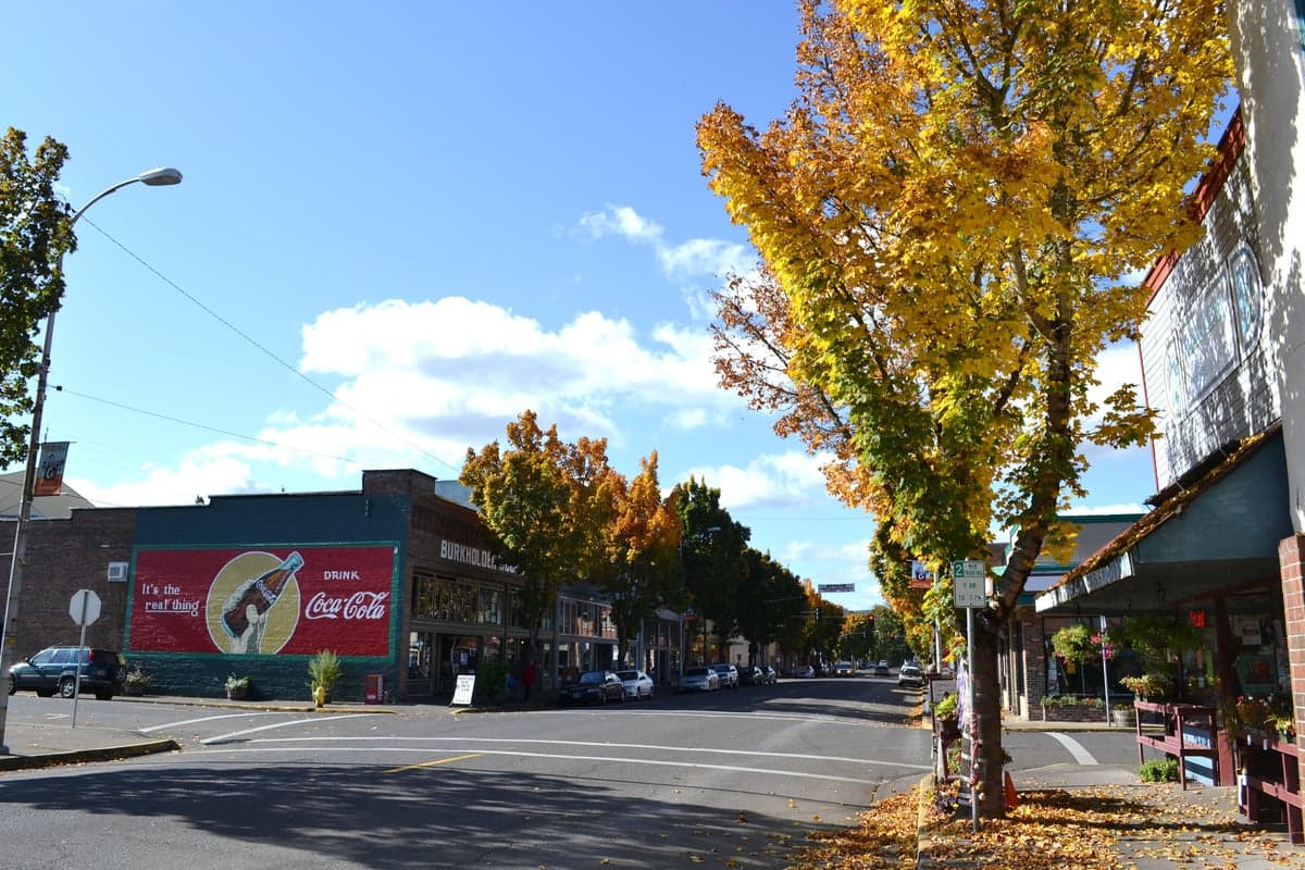
Photo: Wikipedia
Strategic Assessment of Cottage Grove, OR
Meaningful friction. Expect exposure to either population pressure, blast zones, or natural disaster risk. Consider buying a retreat property.
What does the Strategic Assessment tell us?
Our Strategic Assessment grades tactical survivability of an area. Major population centers, military targets, fallout zones, natural disasters, and border exposure all drive risk — lower exposure means a more defensible position in a crisis.
This is heavily inspired by Joel Skousen's Strategic Relocation book. Highly recommended you checkout the book ($)What does this tell us?
Our Strategic Assessment grades tactical survivability of an area. Major population centers, military targets, fallout zones, natural disasters, and border exposure all drive risk — lower exposure means a more defensible position in a crisis.
This is heavily inspired by Joel Skousen's Strategic Relocation book. Highly recommended you checkout the book ($)Strategic Pillars

Key Distances
Regional Safe Places
Below is our recommended "safe zones" in Oregon and the surrounding area based on our strategic heuristics. For most people, it's unrealistic to live in a “safe zone” full-time due to work, family or other personal reasons. They tend to be more rural. However, many of these areas are perfect for second homes and retreat properties that double as a vacation home or even a short-term rental.


Important Note: For informational purposes only. This does not mean nothing bad ever happens in the green zones. Please use common sense. This is based on public data and modeled with AI. We tried to take a conservative approach but mistakes happen. We update this regularly as new information becomes available.
Solar Generator Recommendations
Backup power matters more here than in safer locations. We've picked three solar generators across budgets and capacity tiers — start with the budget unit if you only need a few essentials, or step up if you want to run a fridge and HVAC for days at a time.

Jackery Portable Power Station Explorer 300
Budget OptionPower on the Go: Weighing only 11 lbs, it's convenient to set up and store with book-sized foldable solar panels

BLUETTI Portable Power Station AC180
Designed for both indoor and outdoor scenarios, AC180 is highly capable as it has a robost capacity and continuous output power.

EF ECOFLOW DELTA Pro Ultra Power Station
Upgraded PickEcoFlow DELTA Pro Ultra is a whole-home energy system designed to grow with your family. Integrated with the Smart Home Panel 2, it scales to meet your evolving energy needs — keeping your home powered, intelligent, and secure through every stage of life.
We earn a commission, at no additional cost to you.
Strategic Assessment Analysis
Cottage Grove, Oregon, presents a mixed strategic picture for the relocation-minded reader focused on resilience and self-sufficiency. Its location in the southern Willamette Valley offers genuine advantages in terms of water availability and agricultural potential, but its proximity to the I-5 corridor and major population centers introduces significant vulnerabilities that a serious preparedness-minded individual must weigh. The town’s character as a working-class community with a history of timber and manufacturing provides a certain ruggedness, but the area’s overall resilience is heavily dependent on how well a relocator can leverage its natural assets while mitigating its exposure to regional risks.
Geographic position and natural advantages for long-term stability
Cottage Grove sits at the confluence of the Coast Fork Willamette River and several smaller creeks, giving it a reliable surface water supply that is a genuine asset in a drought-prone West. The surrounding landscape is a mix of the Coast Range foothills to the west and the Cascade foothills to the east, offering a variety of microclimates and defensible terrain. The area receives roughly 45-50 inches of annual rainfall, which supports robust local agriculture—think hazelnuts, berries, hay, and livestock—without requiring extensive irrigation infrastructure. The nearby Cottage Grove Lake and Dorena Lake, both U.S. Army Corps of Engineers projects, provide additional water storage and recreational resources, though their status as federal infrastructure is a double-edged sword in a prolonged disruption scenario. The valley floor is fertile, and the surrounding hills offer timber, game, and building materials. For a relocator, the ability to tap into a local food network is real: the Cottage Grove Farmers Market and several U-pick operations are operational, and the broader Lane County area has a strong tradition of small-scale farming. The terrain also provides natural chokepoints—the main routes in and out are limited to I-5, OR-99, and a handful of county roads—which can be a defensive advantage if controlled, but a liability if those routes are compromised.
Risks, exposures, and proximity to fallout-relevant landmarks
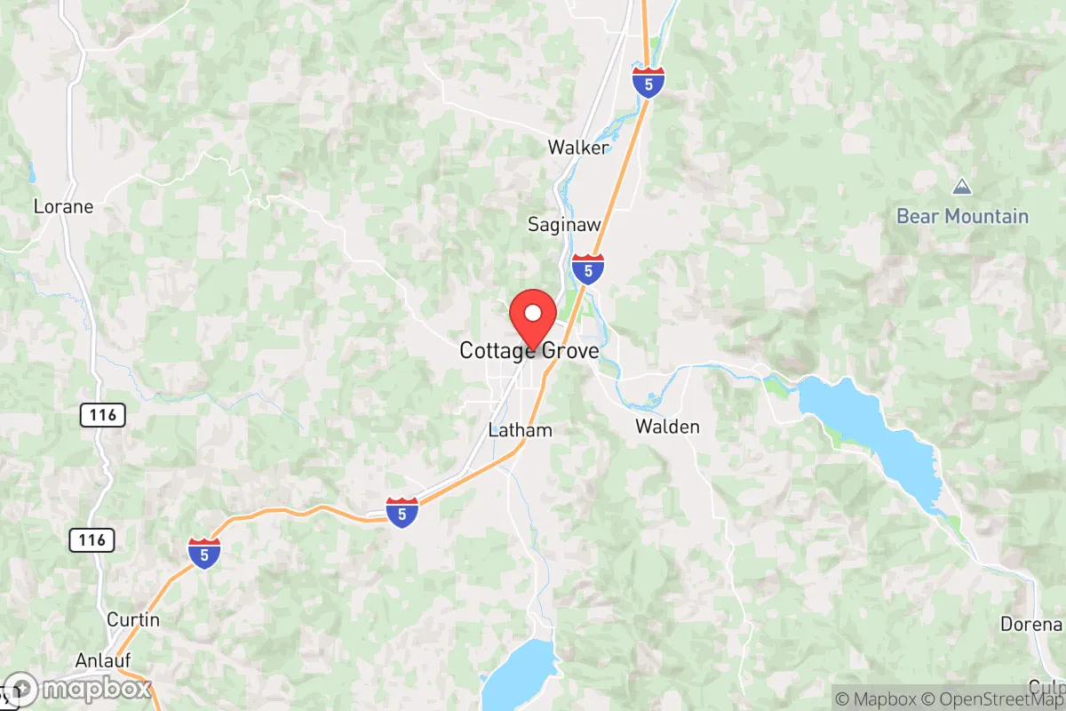
The most significant risk for Cottage Grove is its position along the I-5 corridor, roughly 20 miles south of Eugene and 120 miles south of Portland. In a major regional crisis—whether natural disaster, grid failure, or civil unrest—this corridor becomes a primary evacuation and movement route for hundreds of thousands of people. Cottage Grove sits directly in the path of any southward flow from the Portland metro area, and the town’s population of roughly 10,000 would be overwhelmed by a sudden influx of refugees. The nearby Eugene-Springfield area (population ~380,000) is a major population and logistics hub, and its vulnerability to Cascadia Subduction Zone earthquakes is well-documented. A major quake would likely destroy I-5 bridges and overpasses, isolating the town from the north and south, but also potentially stranding evacuees in the area. The presence of the Eugene Airport and the rail lines running through Cottage Grove make it a potential target for secondary disruptions. On the man-made risk side, the area is not near major nuclear power plants (the closest is Trojan, decommissioned, near Portland), but the proximity to the Port of Portland and the industrial corridor along the Willamette River introduces chemical and hazardous material risks. The area’s timber industry also means a significant wildfire risk, particularly in the surrounding foothills during dry summers. The 2020 Holiday Farm Fire, which devastated the McKenzie River corridor east of Eugene, demonstrated that the region is not immune to large-scale fire events. Flooding is a more localized but persistent risk along the Coast Fork and its tributaries, with several neighborhoods in the floodplain experiencing periodic inundation.
Practical resilience for a relocator: food, water, energy, and defensibility
For a relocator serious about self-sufficiency, Cottage Grove offers a strong foundation but requires deliberate effort. Water is the area’s strongest asset: the Coast Fork Willamette and the two nearby lakes provide a reliable surface water source, and the water table is generally high enough for shallow wells in many areas outside the town limits. However, municipal water treatment plants are vulnerable to power loss and earthquake damage, so a private well with a hand pump or a rainwater catchment system is a wise investment. Food production is viable: the growing season runs roughly April through October, and the soil is productive for vegetables, fruits, and grains. The local agricultural community is active, with several farms offering CSA shares and direct sales. Hunting (deer, elk, waterfowl) and fishing (salmon, steelhead, trout) are available in the surrounding national forests and rivers, but require licenses and knowledge of the terrain. Energy is a mixed bag: the grid is served by the Bonneville Power Administration, which is relatively reliable but vulnerable to earthquake and cyberattack. Solar potential is moderate—the area gets about 150 sunny days per year, less than eastern Oregon—but with battery storage, it can provide a baseline. Wood heating is common and practical, given the surrounding timber, but requires a chainsaw, a wood splitter, and a good supply of dry firewood. Defensibility is moderate: the town itself is a compact grid with limited natural barriers, but the surrounding hills offer numerous properties with good visibility and limited access. The key is to avoid being on the main evacuation routes (I-5, OR-99) and to secure a property with a well, septic, and a defensible perimeter. The local community is generally self-reliant and skeptical of outside authority, which can be an asset in a crisis, but it also means that newcomers should invest in building relationships before a disruption occurs. The Cottage Grove Community Emergency Response Team (CERT) and local ham radio operators provide a framework for communication, but the area lacks a formal, organized preparedness network.
The overall strategic picture for Cottage Grove is one of genuine potential tempered by significant exposure. The area’s natural resources—water, fertile soil, timber, and game—are among the best in the Pacific Northwest for a long-term self-sufficient lifestyle. The climate is mild, the growing season is adequate, and the surrounding public lands offer a buffer. However, the proximity to the I-5 corridor and the Eugene-Springfield metro area is a critical vulnerability that cannot be ignored. In a regional crisis, Cottage Grove would likely become a chokepoint and a destination for evacuees, straining local resources and security. For a relocator who can secure a property off the main routes, with a private well and a defensible position, the area offers a solid foundation. But for someone looking for a truly isolated, low-risk location, the southern Willamette Valley is not that. It is a middle-ground option: better than the Portland metro, but not as resilient as the more remote areas of eastern Oregon or the coastal ranges. The decision comes down to how much risk you are willing to accept in exchange for the area’s genuine natural advantages. If you can manage the corridor risk and build a local network, Cottage Grove is a viable choice. If not, look further east or south.

* Values derived from national, state, county, city and local statistics and may differ in a specific area. Last updated: 2026-10-10T16:27:13.000Z
Narrative content on this page is AI-generated and may contain mistakes. Verify any details that matter before acting on them.
ReloMaps may earn a commission from affiliate links at no extra cost to you.

