
Photo: Wikipedia
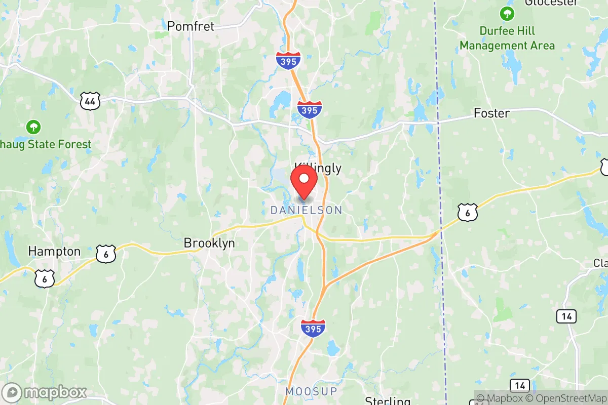
Strategic Assessment of Danielson, CT
Multiple tactical vulnerabilities. Population density, target proximity, or disaster risk are likely compounding. A retreat property and exit planning is required.
What does the Strategic Assessment tell us?
Our Strategic Assessment grades tactical survivability of an area. Major population centers, military targets, fallout zones, natural disasters, and border exposure all drive risk — lower exposure means a more defensible position in a crisis.
This is heavily inspired by Joel Skousen's Strategic Relocation book. Highly recommended you checkout the book ($)What does this tell us?
Our Strategic Assessment grades tactical survivability of an area. Major population centers, military targets, fallout zones, natural disasters, and border exposure all drive risk — lower exposure means a more defensible position in a crisis.
This is heavily inspired by Joel Skousen's Strategic Relocation book. Highly recommended you checkout the book ($)Strategic Pillars

Key Distances
Regional Safe Places
Below is our recommended "safe zones" in Connecticut and the surrounding area based on our strategic heuristics. For most people, it's unrealistic to live in a “safe zone” full-time due to work, family or other personal reasons. They tend to be more rural. However, many of these areas are perfect for second homes and retreat properties that double as a vacation home or even a short-term rental.


Important Note: For informational purposes only. This does not mean nothing bad ever happens in the green zones. Please use common sense. This is based on public data and modeled with AI. We tried to take a conservative approach but mistakes happen. We update this regularly as new information becomes available.
Solar Generator Recommendations
Backup power matters more here than in safer locations. We've picked three solar generators across budgets and capacity tiers — start with the budget unit if you only need a few essentials, or step up if you want to run a fridge and HVAC for days at a time.

Jackery Portable Power Station Explorer 300
Budget OptionPower on the Go: Weighing only 11 lbs, it's convenient to set up and store with book-sized foldable solar panels

BLUETTI Portable Power Station AC180
Designed for both indoor and outdoor scenarios, AC180 is highly capable as it has a robost capacity and continuous output power.

EF ECOFLOW DELTA Pro Ultra Power Station
Upgraded PickEcoFlow DELTA Pro Ultra is a whole-home energy system designed to grow with your family. Integrated with the Smart Home Panel 2, it scales to meet your evolving energy needs — keeping your home powered, intelligent, and secure through every stage of life.
We earn a commission, at no additional cost to you.
Strategic Assessment Analysis
Danielson, Connecticut, presents a mixed strategic picture for the conservative prepper or survivalist. While its location in the quiet corner of the state offers some genuine resilience advantages, its proximity to major population centers and critical infrastructure targets introduces significant risk. The town’s small size, rural character, and distance from the immediate blast zones of New York and Boston are assets, but its position within a densely populated corridor and near a nuclear power plant demands careful consideration. For the relocator seeking a balance between isolation and access to resources, Danielson is a calculated gamble—not a fortress, but a potential staging ground if you understand the trade-offs.
Geographic position and natural advantages for long-term survival
Danielson sits in the Quinebaug River Valley, a region of rolling hills, mixed forest, and working farmland that forms part of the "Last Green Valley" in northeastern Connecticut. This area is one of the few remaining rural pockets between the Boston and New York megaregions, offering a degree of natural buffering. The terrain provides decent defensibility—elevated ridgelines and river corridors create natural chokepoints for movement, and the dense second-growth forest offers cover and concealment. The Quinebaug River itself is a reliable surface water source, though it requires treatment. The region’s agricultural history means there are still active farms, orchards, and livestock operations within a 15- to 30-minute drive, which could be critical for local food sourcing in a prolonged grid-down scenario. The climate is temperate, with four distinct seasons, which supports subsistence gardening but also imposes a winter heating requirement. The area’s low population density—roughly 4,500 residents in the borough itself, with the surrounding town of Killingly at about 17,000—means fewer eyes on your activities and less competition for resources in a crisis. However, this is not the remote wilderness of Montana or Idaho; you are never more than an hour from a city of 100,000 or more, which cuts both ways for resupply and risk.
Risks, exposures, and proximity to fallout-relevant landmarks
The most glaring vulnerability for Danielson is its proximity to the Millstone Nuclear Power Station in Waterford, roughly 35 miles south. In a major disaster or targeted attack, Millstone is a prime fallout-relevant landmark. The prevailing winds in southern New England are from the west and southwest, meaning a release from Millstone could push contamination directly toward the Danielson area. The 50-mile emergency planning zone around the plant includes all of Windham County. Additionally, the town lies within 20 miles of Interstate 395 and the Providence-Worcester corridor, which are likely evacuation routes and potential targets for civil unrest or infrastructure disruption. The nearby Quinebaug River is also a flood risk; the 1955 floods from Hurricane Diane devastated the area, and climate models suggest increased precipitation intensity. For the prepper, these are not deal-breakers, but they demand specific countermeasures: a well-stocked fallout shelter with proper filtration, a flood-safe cache location, and a plan to avoid the I-395 corridor during any evacuation. The presence of the Danielson Armory (Connecticut Army National Guard) is a double-edged sword—it could be a point of security or a target, depending on the scenario. On the positive side, the area lacks high-value strategic targets like major military bases, ports, or financial centers, which reduces the likelihood of being a primary strike zone in a conflict.
Practical resilience for a relocator: food, water, energy, and defensibility
For the individual or family looking to establish a resilient homestead, Danielson offers a workable baseline. The water situation is manageable: the Quinebaug River and several smaller streams (the Five Mile River, the Moosup River) provide raw water, but well depth in the area averages 150-300 feet, and many existing homes have private wells. A hand pump or solar-powered pump on an existing well is a realistic upgrade. The soil is a mix of sandy loam and glacial till, suitable for root vegetables, corn, and beans, but requires amendment for heavy yields. Local zoning is generally lenient toward small-scale agriculture, backyard chickens, and rainwater collection, though building codes in the borough are stricter than in the surrounding town. Energy resilience is a mixed bag: grid power is moderately reliable, but winter storms frequently cause outages lasting 12-48 hours. Solar potential is decent (about 4.5 peak sun hours per day), but tree cover is dense, so a south-facing clearing or roof mount is necessary. Wood heating is the most practical backup—the area is heavily forested, and a cord of hardwood runs about $300 delivered, or you can cut your own with a permit. Defensibility is moderate: the terrain offers natural screening, but the road network is sparse, with only a few main routes (CT-12, CT-101, CT-6) that could become chokepoints or escape corridors. A property set back from these roads, with a long driveway and good visibility of approach, is ideal. The local gun culture is present but not dominant; Connecticut has strict firearm laws (assault weapon ban, magazine capacity limits, permit requirements), so preppers should be aware of legal constraints on defensive hardware. The nearest reputable gun shop is about 20 minutes away in Plainfield, and the closest indoor range is in Putnam.
Overall, Danielson is a strategic compromise. It offers genuine resilience advantages—water, farmland, low population density, and a rural buffer—but it sits within a region that is vulnerable to nuclear fallout, flood, and the cascading effects of urban collapse. For the conservative relocator who accepts that complete isolation is impossible in the Northeast, this area can work as a base of operations, provided you invest in a proper fallout shelter, a reliable off-grid water system, and a network of local contacts. The key is to treat Danielson not as a final redoubt, but as a forward operating position: close enough to access resources and community, but with a pre-planned bug-out route to more remote areas in northern New England if the situation deteriorates. The town’s greatest strength is that it is overlooked—most people fleeing the cities will head west or south, not east into the quiet corner. That obscurity is your best asset.
* Values derived from national, state, county, city and local statistics and may differ in a specific area. Last updated: 2026-04-29T19:22:56.000Z
Narrative content on this page is AI-generated and may contain mistakes. Verify any details that matter before acting on them.
ReloMaps may earn a commission from affiliate links at no extra cost to you.