
Photo: Wikipedia
Strategic Assessment of Danville, VA
Meaningful friction. Expect exposure to either population pressure, blast zones, or natural disaster risk. Consider buying a retreat property.
What does the Strategic Assessment tell us?
Our Strategic Assessment grades tactical survivability of an area. Major population centers, military targets, fallout zones, natural disasters, and border exposure all drive risk — lower exposure means a more defensible position in a crisis.
This is heavily inspired by Joel Skousen's Strategic Relocation book. Highly recommended you checkout the book ($)What does this tell us?
Our Strategic Assessment grades tactical survivability of an area. Major population centers, military targets, fallout zones, natural disasters, and border exposure all drive risk — lower exposure means a more defensible position in a crisis.
This is heavily inspired by Joel Skousen's Strategic Relocation book. Highly recommended you checkout the book ($)Strategic Pillars

Key Distances
Regional Safe Places
Below is our recommended "safe zones" in Virginia and the surrounding area based on our strategic heuristics. For most people, it's unrealistic to live in a “safe zone” full-time due to work, family or other personal reasons. They tend to be more rural. However, many of these areas are perfect for second homes and retreat properties that double as a vacation home or even a short-term rental.


Important Note: For informational purposes only. This does not mean nothing bad ever happens in the green zones. Please use common sense. This is based on public data and modeled with AI. We tried to take a conservative approach but mistakes happen. We update this regularly as new information becomes available.
Solar Generator Recommendations
Backup power matters more here than in safer locations. We've picked three solar generators across budgets and capacity tiers — start with the budget unit if you only need a few essentials, or step up if you want to run a fridge and HVAC for days at a time.

Jackery Portable Power Station Explorer 300
Budget OptionPower on the Go: Weighing only 11 lbs, it's convenient to set up and store with book-sized foldable solar panels

BLUETTI Portable Power Station AC180
Designed for both indoor and outdoor scenarios, AC180 is highly capable as it has a robost capacity and continuous output power.

EF ECOFLOW DELTA Pro Ultra Power Station
Upgraded PickEcoFlow DELTA Pro Ultra is a whole-home energy system designed to grow with your family. Integrated with the Smart Home Panel 2, it scales to meet your evolving energy needs — keeping your home powered, intelligent, and secure through every stage of life.
We earn a commission, at no additional cost to you.
Strategic Assessment Analysis
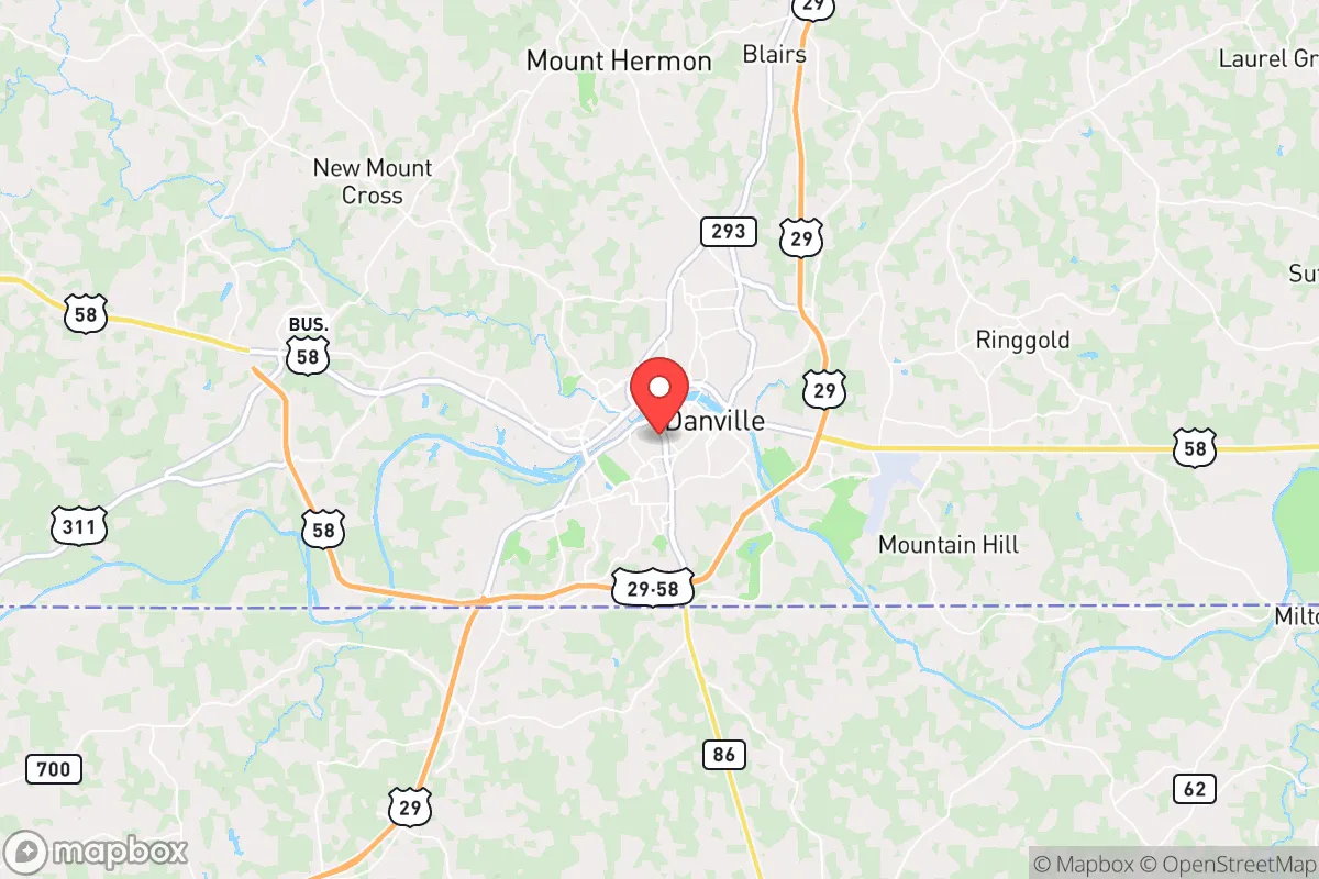
Danville, Virginia, sits in a strategic sweet spot that resilience-minded relocators should take seriously: it’s far enough from the major Eastern Seaboard population centers to avoid the worst of any cascading collapse, yet close enough to access critical supply chains and medical infrastructure when things are stable. The city’s location along the North Carolina border, roughly 45 miles from Greensboro and 70 miles from Raleigh-Durham, places it in a zone that is neither a primary target nor a logistical dead end. For someone thinking about long-term preparedness—whether for economic disruption, civil unrest, or a major disaster—Danville offers a combination of geographic insulation and practical livability that is increasingly rare in the mid-Atlantic region.
Geographic position and natural advantages for long-term security
Danville’s position in the Piedmont region, at the fall line where the rolling hills meet the coastal plain, gives it a natural defensive advantage. The terrain is not mountainous enough to isolate you completely, but it is hilly and wooded enough to provide cover and make large-scale movement difficult. The Dan River runs through the city, providing a reliable freshwater source that is not dependent on municipal treatment plants—critical if grid water fails. The surrounding Pittsylvania County is heavily agricultural, with working farms, timberland, and rural homesteads that could support barter and local food production in a prolonged disruption. The climate is temperate, with four distinct seasons but no extreme weather that would force evacuation; the area rarely sees hurricanes, tornadoes are infrequent and weak, and winter storms are manageable. For a relocator, this means you can hunker down without worrying about annual natural disasters wiping out your supplies or forcing you to move.
Risks, exposures, and proximity to fallout-relevant landmarks
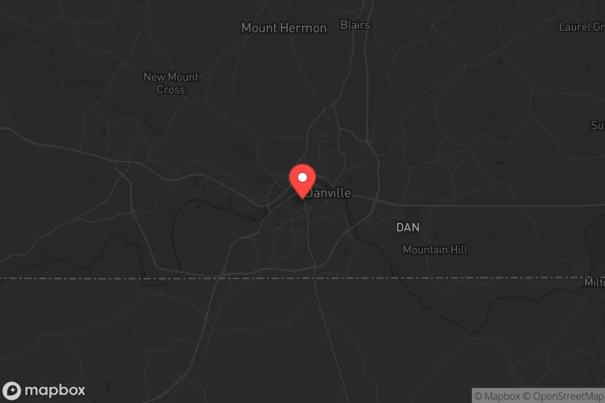
No location is without risk, and Danville has specific vulnerabilities that a prepper must account for. The most obvious is the proximity to Interstate 85, a major north-south corridor that connects Richmond to Atlanta. In a crisis, I-85 could become a chokepoint for refugees fleeing the Northeast or a route for looters moving south. Danville itself is not a primary target for nuclear strike—it has no major military bases, no strategic command centers, and no high-value industrial targets—but it sits within the fallout plume zone of several potential targets. Norfolk Naval Station, about 170 miles east, is a top-tier target; prevailing winds would carry fallout inland, and Danville is directly downwind in a typical weather pattern. Similarly, Fort Liberty (formerly Fort Bragg) in Fayetteville, NC, is roughly 100 miles south-southeast, and a strike there could deposit radioactive debris over the region within hours. The Surry Nuclear Power Plant on the James River is about 90 miles northeast; a meltdown or sabotage event there would put Danville in the moderate-risk zone. For a relocator, this means you need a solid fallout shelter—basement, underground structure, or a shielded interior room—and at least two weeks of sealed supplies. The good news is that the local geology (clay and bedrock) makes digging a shelter feasible, and many older homes in the area already have basements.
Practical resilience for a relocator: food, water, energy, and defensibility
Danville’s practical resilience is where it shines for someone serious about self-sufficiency. Water is abundant—the Dan River is a perennial stream with good flow, and the city’s municipal water comes from the river via the Danville Water Treatment Plant. In a grid-down scenario, you can draw directly from the river (with proper filtration) or tap into the numerous springs and wells in the surrounding county. The area’s water table is high, so drilling a well is relatively inexpensive and reliable. Food production is realistic: the growing season runs from April to October, and the soil in Pittsylvania County is loamy and fertile. You can raise poultry, goats, and even cattle on modest acreage; the local extension office at Virginia Tech’s Danville campus offers workshops on small-scale farming and food preservation. Energy independence is achievable because the region gets good sun (about 210 sunny days per year) and has enough tree cover for biomass heating. Solar panels with battery storage are a viable investment, and the local utility, Danville Utilities, offers net metering for grid-tied systems. For defensibility, the city itself is compact—roughly 42,000 people—which means you can know your neighbors and build a community watch. The surrounding rural areas offer even better options: properties with long driveways, natural tree lines, and limited road access are common and affordable. Property crime is a concern—Danville’s violent crime rate is about 50% higher than the national average, and property crime is elevated—but this is concentrated in specific neighborhoods. A relocator who buys on the outskirts, with a good fence, a dog, and a security system, will be far safer than someone in the urban core. The local police department is understaffed but responsive; in a crisis, you will rely on your own preparedness and your neighbors.
The overall strategic picture for a conservative relocator
Danville is not a bug-out location for the end of the world—it is a place to build a sustainable, resilient life in a country that may face serious disruptions. The city’s conservative lean is real: Pittsylvania County voted +35 points Republican in 2024, and the local culture values self-reliance, gun ownership, and community. You will find like-minded people at the local gun clubs, churches, and farm supply stores. The cost of living is low—median home prices are around $180,000—so you can afford the acreage and infrastructure needed for preparedness without going broke. The downsides are real: the job market is weak (manufacturing and healthcare are the main sectors), the schools are mediocre, and the healthcare system is limited to one hospital (Sovah Health Danville) that could be overwhelmed in a crisis. But for a relocator whose primary goal is security and self-sufficiency, Danville offers a rare combination of low cost, low risk, and high practical resilience. It is not a fortress, but it is a solid foundation—and in an unstable world, that is worth a serious look.
* Values derived from national, state, county, city and local statistics and may differ in a specific area. Last updated: 2026-05-01T03:48:06.000Z
Narrative content on this page is AI-generated and may contain mistakes. Verify any details that matter before acting on them.
ReloMaps may earn a commission from affiliate links at no extra cost to you.