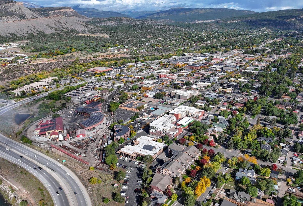
Photo: Wikipedia
Strategic Assessment of Durango, CO
Workable tactical position. Some exposure to population density or targets, but generally defensible in a crisis.
What does the Strategic Assessment tell us?
Our Strategic Assessment grades tactical survivability of an area. Major population centers, military targets, fallout zones, natural disasters, and border exposure all drive risk — lower exposure means a more defensible position in a crisis.
This is heavily inspired by Joel Skousen's Strategic Relocation book. Highly recommended you checkout the book ($)What does this tell us?
Our Strategic Assessment grades tactical survivability of an area. Major population centers, military targets, fallout zones, natural disasters, and border exposure all drive risk — lower exposure means a more defensible position in a crisis.
This is heavily inspired by Joel Skousen's Strategic Relocation book. Highly recommended you checkout the book ($)Strategic Pillars

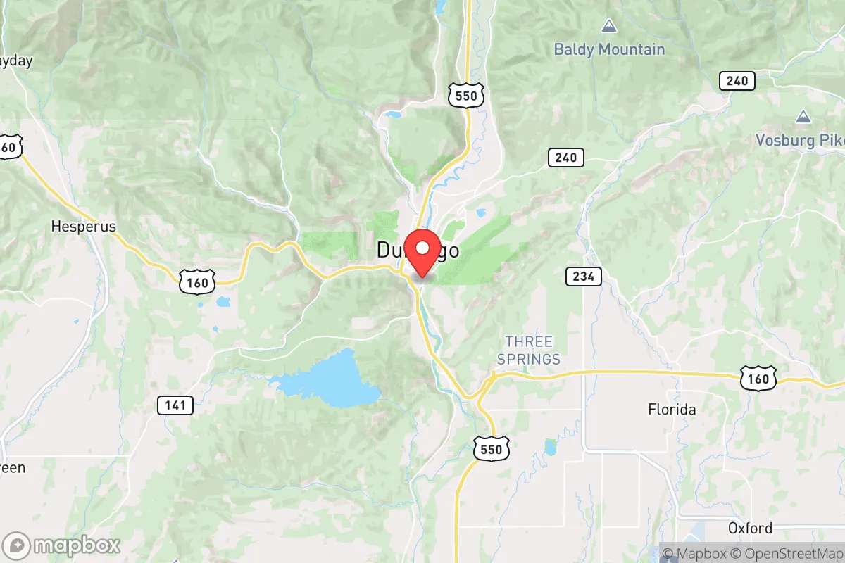
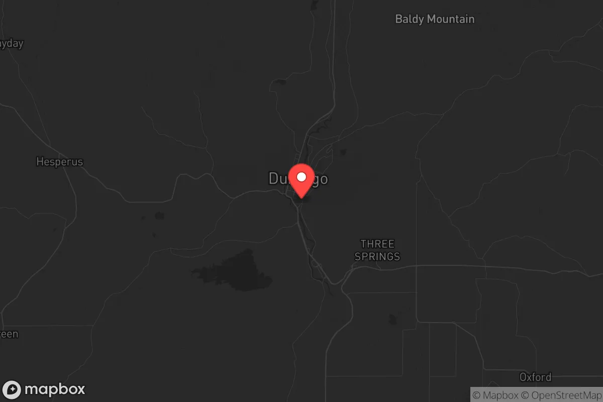
Key Distances
Regional Safe Places
Below is our recommended "safe zones" in Colorado and the surrounding area based on our strategic heuristics. For most people, it's unrealistic to live in a “safe zone” full-time due to work, family or other personal reasons. They tend to be more rural. However, many of these areas are perfect for second homes and retreat properties that double as a vacation home or even a short-term rental.


Important Note: For informational purposes only. This does not mean nothing bad ever happens in the green zones. Please use common sense. This is based on public data and modeled with AI. We tried to take a conservative approach but mistakes happen. We update this regularly as new information becomes available.
Solar Generator Recommendations
Backup power matters more here than in safer locations. We've picked three solar generators across budgets and capacity tiers — start with the budget unit if you only need a few essentials, or step up if you want to run a fridge and HVAC for days at a time.

Jackery Portable Power Station Explorer 300
Budget OptionPower on the Go: Weighing only 11 lbs, it's convenient to set up and store with book-sized foldable solar panels

BLUETTI Portable Power Station AC180
Designed for both indoor and outdoor scenarios, AC180 is highly capable as it has a robost capacity and continuous output power.

EF ECOFLOW DELTA Pro Ultra Power Station
Upgraded PickEcoFlow DELTA Pro Ultra is a whole-home energy system designed to grow with your family. Integrated with the Smart Home Panel 2, it scales to meet your evolving energy needs — keeping your home powered, intelligent, and secure through every stage of life.
We earn a commission, at no additional cost to you.
Strategic Assessment Analysis
Durango, Colorado, offers a compelling strategic position for those prioritizing resilience, but it is not without significant trade-offs. Nestled in the southwest corner of the state, its relative isolation from major population centers provides a buffer against the cascading effects of urban unrest, while its location in the San Juan Mountains grants access to abundant natural resources. However, the same geography that provides defensibility also creates chokepoints and exposure to specific risks, including proximity to critical infrastructure that could become a liability in a national crisis. For a relocator with a prepper mindset, Durango is a strong candidate for a secondary or primary retreat, provided its vulnerabilities are understood and mitigated.
Geographic position and natural advantages for long-term security
Durango’s primary strategic asset is its location. Situated at roughly 6,500 feet elevation in a valley carved by the Animas River, the city is surrounded by the San Juan National Forest and the Weminuche Wilderness, one of the largest roadless areas in the lower 48 states. This natural barrier limits approach routes to a handful of roads—primarily US Highway 160 from the east and west, and US Highway 550 from the north and south. In a scenario where civil order degrades, these chokepoints can be monitored or defended with relative ease. The area’s rugged terrain also makes large-scale military or law enforcement operations difficult, which is a double-edged sword but generally favors those who know the backcountry. The region’s water supply is robust: the Animas River flows year-round from snowmelt, and the area receives an average of 20 inches of precipitation annually, supporting both agriculture and natural forage. The high desert climate means fewer disease vectors than in humid regions, and the cold winters naturally suppress many biological threats. For a family or individual looking to establish a self-sufficient homestead, the growing season is short (roughly 100 days) but manageable with greenhouses or cold frames, and the surrounding forests provide ample timber for fuel and construction.
Risks, exposures, and proximity to fallout-relevant landmarks
No strategic assessment is honest without addressing the liabilities. Durango’s most significant risk is its proximity to the San Juan Generating Station, a coal-fired power plant located about 15 miles west in Farmington, New Mexico. While the plant is slated for closure, its existence—and the rail lines and transmission corridors that serve it—represent a potential target for sabotage or collateral damage in a conflict scenario. More concerning is the presence of the Los Alamos National Laboratory, roughly 150 miles northeast as the crow flies. While not a direct fallout risk for Durango (prevailing winds blow east), a major incident at Los Alamos could contaminate the San Juan River watershed, which feeds into the Animas. The city itself sits on a major natural gas pipeline corridor, and the nearby Four Corners region is a hub for energy infrastructure. In a grid-down scenario, these pipelines could become ignition sources or targets. Additionally, Durango’s reliance on a single major highway (US 160) for resupply means that a single bridge failure or landslide—common in the San Juans—could isolate the city for weeks. The area is also seismically active, with the nearby San Juan volcanic field posing a low but non-zero risk of volcanic unrest. For the prepper, these risks are manageable with proper planning—stockpiling supplies, maintaining alternative fuel sources, and establishing caches in the backcountry—but they cannot be ignored.
Practical resilience for a relocator: food, water, energy, and defensibility
For a relocator serious about self-sufficiency, Durango offers a mixed but workable picture. Water is the strongest asset: the Animas River is reliable and, with proper filtration, potable. The city’s municipal water system draws from the river, but a private well or a rainwater catchment system (legal in Colorado with restrictions) provides redundancy. Food production is limited by the short growing season, but the surrounding valleys (e.g., the Animas Valley north of town) have fertile soils and a longer season due to lower elevation. Local farmers markets and the Durango Farmers Market indicate a strong local food culture, but a prepper should plan on greenhouse production and seed banking. The area’s hunting and fishing are excellent—elk, mule deer, and trout are abundant—but game populations can be pressured in a crisis. Energy is a vulnerability: the grid is served by a single major substation, and winter storms frequently cause outages. Solar is viable (Durango averages 250 sunny days per year), but battery storage is essential for winter months when generation drops. Wood heat is the most reliable backup, and the national forest permits firewood collection. Defensibility is Durango’s strongest card: the valley is narrow, with high ridges on both sides, making it easy to observe approaching threats. The local population is generally armed and self-reliant, with a strong culture of hunting and outdoor skills. However, the city itself (population ~19,000) is not a fortress—it has a college (Fort Lewis College) and a tourist economy, meaning a significant transient population that could become a liability in a collapse. A strategic relocator would be wise to settle outside the city limits, on a parcel with good water and defensible terrain, rather than within the municipal boundaries.
The overall strategic picture for Durango is one of high potential tempered by real constraints. It is not a bug-out location for the unprepared—the winters are harsh, the growing season is short, and the isolation that provides security also makes resupply difficult. But for a disciplined individual or family willing to invest in infrastructure—greenhouses, solar, water storage, and a well-stocked pantry—Durango offers a defensible, resource-rich environment that is far enough from the chaos of the Front Range and the Southwest’s urban corridors to provide a genuine buffer. The key is to treat it as a long-term homestead, not a temporary refuge. The local culture is independent and conservative-leaning, which aligns with a prepper mindset, but the area is not immune to the political and economic pressures affecting the rest of the country. If you are looking for a place to ride out the coming storms with a reasonable chance of maintaining autonomy, Durango deserves serious consideration—just go in with eyes open about the work required.
* Values derived from national, state, county, city and local statistics and may differ in a specific area. Last updated: 2026-04-28T23:22:11.000Z
Narrative content on this page is AI-generated and may contain mistakes. Verify any details that matter before acting on them.
ReloMaps may earn a commission from affiliate links at no extra cost to you.