

Photo: Wikipedia
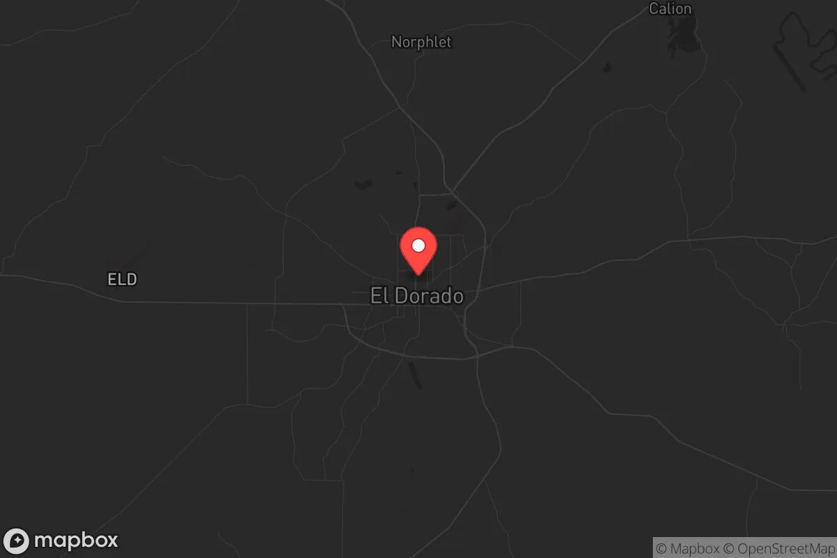
Strategic Assessment of El Dorado, AR
Workable tactical position. Some exposure to population density or targets, but generally defensible in a crisis.
What does the Strategic Assessment tell us?
Our Strategic Assessment grades tactical survivability of an area. Major population centers, military targets, fallout zones, natural disasters, and border exposure all drive risk — lower exposure means a more defensible position in a crisis.
This is heavily inspired by Joel Skousen's Strategic Relocation book. Highly recommended you checkout the book ($)What does this tell us?
Our Strategic Assessment grades tactical survivability of an area. Major population centers, military targets, fallout zones, natural disasters, and border exposure all drive risk — lower exposure means a more defensible position in a crisis.
This is heavily inspired by Joel Skousen's Strategic Relocation book. Highly recommended you checkout the book ($)Strategic Pillars

Key Distances
Regional Safe Places
Below is our recommended "safe zones" in Arkansas and the surrounding area based on our strategic heuristics. For most people, it's unrealistic to live in a “safe zone” full-time due to work, family or other personal reasons. They tend to be more rural. However, many of these areas are perfect for second homes and retreat properties that double as a vacation home or even a short-term rental.


Important Note: For informational purposes only. This does not mean nothing bad ever happens in the green zones. Please use common sense. This is based on public data and modeled with AI. We tried to take a conservative approach but mistakes happen. We update this regularly as new information becomes available.
Solar Generator Recommendations
Backup power matters more here than in safer locations. We've picked three solar generators across budgets and capacity tiers — start with the budget unit if you only need a few essentials, or step up if you want to run a fridge and HVAC for days at a time.

Jackery Portable Power Station Explorer 300
Budget OptionPower on the Go: Weighing only 11 lbs, it's convenient to set up and store with book-sized foldable solar panels

BLUETTI Portable Power Station AC180
Designed for both indoor and outdoor scenarios, AC180 is highly capable as it has a robost capacity and continuous output power.

EF ECOFLOW DELTA Pro Ultra Power Station
Upgraded PickEcoFlow DELTA Pro Ultra is a whole-home energy system designed to grow with your family. Integrated with the Smart Home Panel 2, it scales to meet your evolving energy needs — keeping your home powered, intelligent, and secure through every stage of life.
We earn a commission, at no additional cost to you.
Strategic Assessment Analysis
El Dorado, Arkansas, sits in the southern part of the state near the Louisiana line, and from a strategic relocation standpoint, its primary advantage is being far enough from major population centers to avoid the worst of civic unrest, yet close enough to key resources to make long-term self-sufficiency viable. The city’s economy has historically been tied to oil and timber, giving it a working-class, independent character that aligns well with a prepper mindset. While not a fortress, El Dorado offers a combination of low population density, access to water, and a regional position that makes it a serious candidate for those looking to weather national-level disruptions without going completely off-grid.
Geographic position and natural advantages for long-term security
El Dorado’s location in Union County places it in the Gulf Coastal Plain, a region of rolling hills, pine forests, and numerous waterways. The city is roughly 120 miles from Little Rock, 90 miles from Shreveport, and 200 miles from Dallas—far enough that a major urban collapse in any of those cities would not immediately spill over, but close enough that supply runs or medical evacuation could still be feasible in a partial breakdown. The area’s natural advantages include abundant surface water from the Ouachita River basin and several smaller creeks, plus a moderate climate that supports year-round gardening and livestock. The timber industry means fuel for heating and cooking is locally available, and the region’s history of oil extraction means there are existing wells and infrastructure that could be repurposed for energy independence. The terrain is not mountainous, which limits defensible positions, but the dense forest cover provides good concealment and reduces the risk of long-range observation or fire.
Risks, exposures, and proximity to fallout-relevant landmarks
The most significant risk for El Dorado is its proximity to the Arkansas-Louisiana border and the industrial corridor along the Mississippi River. While the city itself is not a primary target, it lies within 150 miles of the Arkansas Nuclear One plant near Russellville and the Grand Gulf Nuclear Station in Mississippi. A major accident or attack at either facility could produce fallout patterns that might affect the region, depending on wind direction. Additionally, the city is about 60 miles from the El Dorado Chemical plant, which produces ammonium nitrate—a potential target for sabotage or a secondary hazard in a broader conflict. On the plus side, El Dorado is not near any major military bases, strategic ports, or federal command centers, which lowers its risk of being a direct target. The biggest exposure is probably the city’s reliance on a single major highway—U.S. 167—for north-south access. If that route becomes blocked, egress options are limited to smaller state roads. Flooding is a periodic concern in low-lying areas, but the city’s elevation (around 80 feet) keeps it above most floodplain risks.
Practical resilience for a relocator: food, water, energy, and defensibility
For someone serious about self-sufficiency, El Dorado offers a workable baseline. The water table is high, and many rural properties have shallow wells that can be hand-pumped or solar-powered. The growing season runs from March to October, long enough for two crop cycles of staples like corn, beans, and squash. Local soil is sandy loam, which drains well but requires amendment for heavy yields—something a prepper should plan for. Timber is abundant for heating and construction, and the local hunting pressure is moderate, with deer, turkey, and small game available. Energy-wise, the region has a mix of grid power, natural gas, and some solar adoption, but off-grid solar is viable given the area’s 215 sunny days per year. Defensibility is the weak point: the terrain is flat to gently rolling, so a determined group could approach from multiple directions. However, the forest cover and scattered rural homesteads mean a relocator can choose a property with good sightlines and limited access points. The local population is small (about 18,000 in the city, 39,000 in the county), and the culture is heavily Southern and independent—people tend to mind their own business but will band together in a crisis. That social cohesion is a resilience factor that can’t be bought.
Overall, El Dorado presents a balanced strategic picture for a conservative-leaning relocator who wants to be prepared for civil unrest, economic collapse, or natural disasters. It is not a hardened bunker location, but it offers a realistic combination of resource availability, low target value, and a community that is unlikely to fragment under pressure. The main trade-offs are the flat terrain and the moderate risk from industrial and nuclear sites within a few hundred miles. For someone who wants to stay connected enough to monitor the national situation while having a solid base to fall back on, El Dorado is worth a serious look. It won’t make headlines, but that’s exactly the point.
* Values derived from national, state, county, city and local statistics and may differ in a specific area. Last updated: 2026-04-23T03:47:33.000Z
Narrative content on this page is AI-generated and may contain mistakes. Verify any details that matter before acting on them.
ReloMaps may earn a commission from affiliate links at no extra cost to you.