
Photo: Wikipedia
Demographics of Elkins, WV
Affluence Level in Elkins, WV
A below-average socioeconomic profile. Incomes, home values, and educational attainment trail the U.S., with higher poverty and unemployment.
People of Elkins, WV
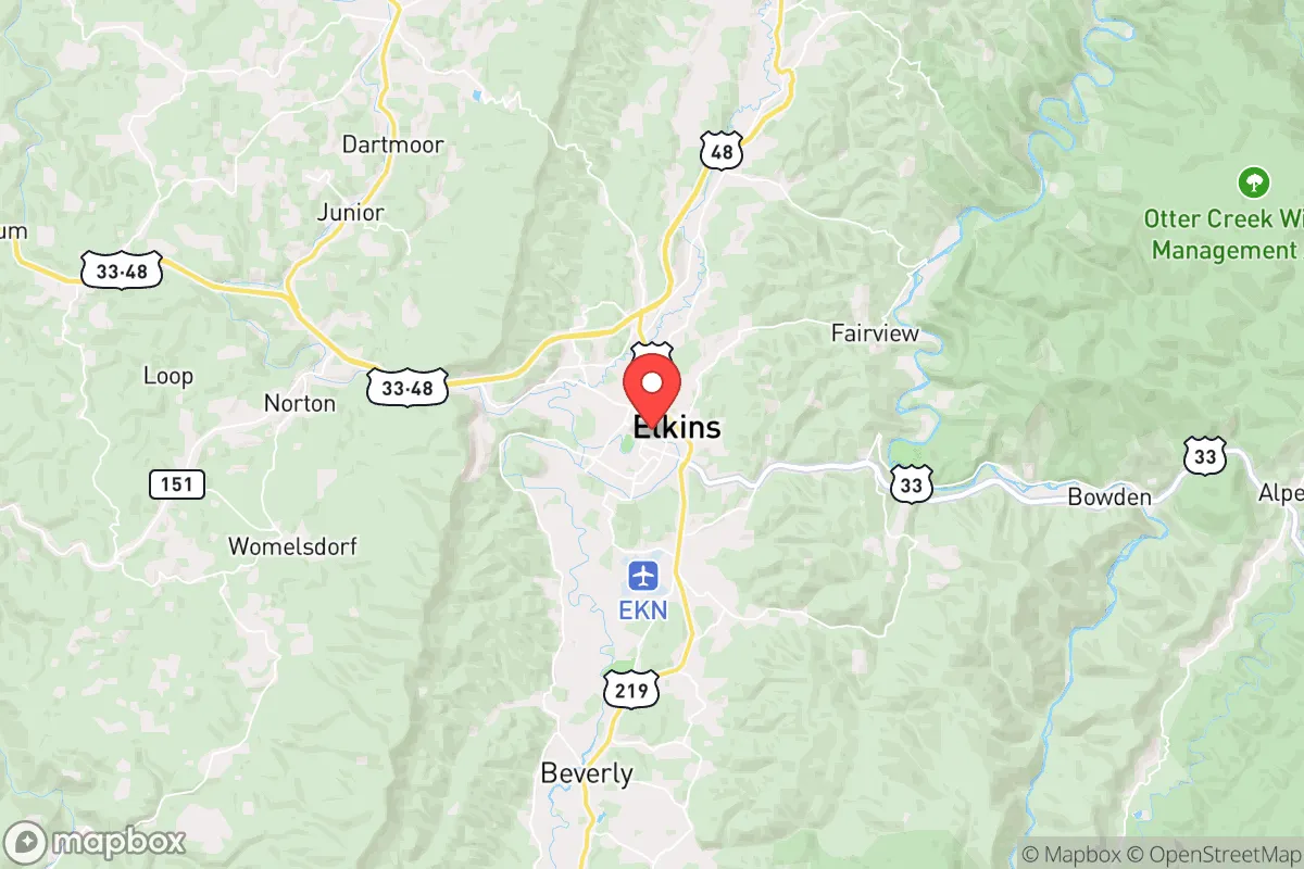
Elkins, West Virginia, is a predominantly white, small-city population of 6,875 that retains a strong Appalachian identity rooted in its railroad and timber heritage. With a foreign-born share of just 0.3% and a Hispanic population of 3.3%, the city is one of the least ethnically diverse in the state, though it is slightly more diverse than surrounding rural Randolph County. The population is older than the national median, with 30.4% holding a college degree—a figure that reflects the presence of Davis & Elkins College and a modest professional class. Residents today are characterized by a deep sense of place, a conservative-leaning civic culture, and a wariness of rapid change, making Elkins a stable but slowly shrinking community.
How the city was settled and grew
Elkins was founded in 1889 as a planned railroad town, named after U.S. Senator Stephen B. Elkins, who secured the routing of the West Virginia Central and Pittsburgh Railway through the Tygart Valley. The original population was overwhelmingly native-born white settlers of Scots-Irish and German descent who had moved from the surrounding Appalachian hollows and from Pennsylvania and Virginia. The town’s early economy centered on timber, coal, and the railroad, drawing a small wave of Italian and Eastern European immigrant laborers—mostly men who worked on the tracks and in the sawmills—but these groups never formed large enclaves. The historic South Side neighborhood, south of the railroad tracks along Randolph Avenue, became the working-class heart of the city, housing railroad employees and mill workers in modest frame houses. The North Side, centered around Park Street and the Davis & Elkins College campus, developed as the more affluent district, home to merchants, lawyers, and college faculty. By 1900, the population had reached roughly 2,500, and it grew steadily through the 1920s as the railroad expanded and the timber industry boomed. The Beverly Road corridor, leading east toward the county seat of Beverly, attracted farmers and smallholders who commuted into town for supplies and services. No significant wave of non-white migration occurred during this period; the 1930 census recorded a Black population of fewer than 50 individuals, most employed as domestic workers or laborers on the railroad.
Modern era (post-1965)
After the 1965 Hart-Cellar Act, Elkins saw virtually no new immigration. The foreign-born share remained below 1% through every subsequent decade, and the city’s racial composition stayed overwhelmingly white. The post-1965 period was instead defined by domestic out-migration: the decline of the railroad and timber industries after the 1970s caused the population to peak at around 8,500 in 1970 and then decline steadily to its current 6,875. The Valley Bend area, a formerly rural fringe west of the city, saw modest suburban-style development in the 1980s and 1990s as a few families moved out of the older South Side and North Side neighborhoods into newer single-family homes. The Downtown district, centered on Third Street and Davis Avenue, lost retail and population as the regional economy shifted toward healthcare and education; the Davis & Elkins College campus became the largest employer in the city proper. The Hispanic population, now 3.3%, grew slowly after 2000, driven by a small number of Mexican-origin families working in construction, landscaping, and the poultry processing plant in nearby Moorefield. These families are scattered across the city, with no distinct ethnic neighborhood, though a concentration exists in the South Side rental stock near the old railroad yards. The Black population, at 2.9%, is similarly dispersed, with no historic Black district—a legacy of the city’s very small pre-1965 Black community. The East/Southeast Asian population remains at 0.0%, and the Indian-subcontinent population is also 0.0%, reflecting the city’s lack of high-skilled immigration or a university medical center that might attract such groups.
The future
The population of Elkins is projected to continue a slow decline, mirroring the broader trend in rural West Virginia. The city is not homogenizing further—it is already nearly as homogeneous as possible—but it is tribalizing into age-based enclaves: older retirees cluster in the North Side and Beverly Road areas, while younger families with children are more likely to live in Valley Bend or commute from cheaper rural properties outside city limits. The Hispanic population may grow modestly as service-sector and construction jobs draw a few more families, but it will likely remain below 5% for the foreseeable future. The college-educated share, currently 30.4%, may rise slightly as remote workers and retirees from higher-cost states discover Elkins’ low housing prices, but this inflow is small and sporadic. The city is becoming a quieter, older, and more economically stratified place: a stable core of professionals and retirees surrounded by a declining working-class base. For a conservative-leaning newcomer, Elkins offers a deeply traditional, low-crime, low-cost environment where the population is unlikely to change dramatically in the next two decades. The trade-off is a shrinking tax base, limited job growth, and a social fabric that prizes continuity over diversity.
* Values derived from national, state, county, city and local statistics and may differ in a specific area. Last updated: 2026-05-03T11:11:35.000Z
Narrative content on this page is AI-generated and may contain mistakes. Verify any details that matter before acting on them.
ReloMaps may earn a commission from affiliate links at no extra cost to you.