Photo: Wikipedia
Strategic Assessment of Escondido, CA
Multiple tactical vulnerabilities. Population density, target proximity, or disaster risk are likely compounding. A retreat property and exit planning is required.
What does the Strategic Assessment tell us?
Our Strategic Assessment grades tactical survivability of an area. Major population centers, military targets, fallout zones, natural disasters, and border exposure all drive risk — lower exposure means a more defensible position in a crisis.
This is heavily inspired by Joel Skousen's Strategic Relocation book. Highly recommended you checkout the book ($)What does this tell us?
Our Strategic Assessment grades tactical survivability of an area. Major population centers, military targets, fallout zones, natural disasters, and border exposure all drive risk — lower exposure means a more defensible position in a crisis.
This is heavily inspired by Joel Skousen's Strategic Relocation book. Highly recommended you checkout the book ($)Strategic Pillars

Key Distances
Regional Safe Places
Below is our recommended "safe zones" in California and the surrounding area based on our strategic heuristics. For most people, it's unrealistic to live in a “safe zone” full-time due to work, family or other personal reasons. They tend to be more rural. However, many of these areas are perfect for second homes and retreat properties that double as a vacation home or even a short-term rental.


Important Note: For informational purposes only. This does not mean nothing bad ever happens in the green zones. Please use common sense. This is based on public data and modeled with AI. We tried to take a conservative approach but mistakes happen. We update this regularly as new information becomes available.
Solar Generator Recommendations
Backup power matters more here than in safer locations. We've picked three solar generators across budgets and capacity tiers — start with the budget unit if you only need a few essentials, or step up if you want to run a fridge and HVAC for days at a time.

Jackery Portable Power Station Explorer 300
Budget OptionPower on the Go: Weighing only 11 lbs, it's convenient to set up and store with book-sized foldable solar panels

BLUETTI Portable Power Station AC180
Designed for both indoor and outdoor scenarios, AC180 is highly capable as it has a robost capacity and continuous output power.

EF ECOFLOW DELTA Pro Ultra Power Station
Upgraded PickEcoFlow DELTA Pro Ultra is a whole-home energy system designed to grow with your family. Integrated with the Smart Home Panel 2, it scales to meet your evolving energy needs — keeping your home powered, intelligent, and secure through every stage of life.
We earn a commission, at no additional cost to you.
Strategic Assessment Analysis
Escondido, California, sits in a precarious strategic position that demands a clear-eyed assessment for anyone serious about preparedness. Its location in northern San Diego County offers a mix of natural buffers and critical vulnerabilities, making it a location that requires deliberate planning rather than blind optimism. For the conservative-minded relocator focused on resilience, Escondido presents a trade-off: proximity to major urban centers and military assets that could become liabilities, balanced by access to inland terrain and water resources that could support a self-reliant posture if the grid falters.
Geographic position and natural advantages for long-term survival
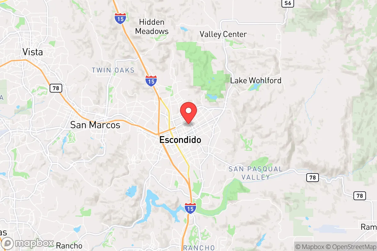
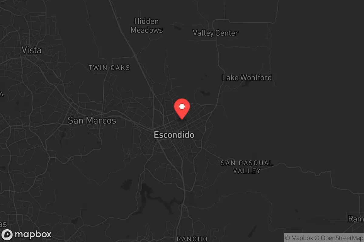
Escondido’s geography is defined by its position in a valley ringed by low mountains, roughly 30 miles inland from the Pacific Ocean and about 30 miles north of downtown San Diego. This inland placement provides a degree of separation from coastal threats like tsunamis, sea-level rise, and the immediate chaos of a major port city during a crisis. The surrounding hills—including the San Marcos Mountains to the west and the Palomar Mountains to the northeast—offer natural chokepoints and observation points that could be leveraged for security. The area’s Mediterranean climate, with mild, wet winters and hot, dry summers, supports year-round gardening and livestock grazing, though water availability is the limiting factor. The nearby Cleveland National Forest and the vast Anza-Borrego Desert State Park to the east provide potential bug-out routes and resource-extraction zones, but they also require careful navigation due to fire risk and limited cover. For a relocator, the key advantage is the ability to tap into the region’s agricultural history—Escondido was once a citrus and avocado hub—and the presence of working ranches and farms in the unincorporated areas north and east of the city limits. These pockets of rural infrastructure could be repurposed for food production and animal husbandry in a grid-down scenario.
Risks, exposures, and proximity to fallout-relevant landmarks
The most significant strategic liability for Escondido is its proximity to high-value targets that could become focal points during a major conflict or societal collapse. Camp Pendleton Marine Corps Base lies just 20 miles to the west, and Naval Base San Diego is roughly 35 miles south. In a war scenario, these installations would be primary targets for kinetic or cyber attacks, and the resulting fallout—both literal and figurative—could disrupt supply chains, communications, and emergency services across the entire county. Additionally, the San Onofre Nuclear Generating Station, though decommissioned, still contains spent fuel stored on-site, located about 25 miles northwest along the coast. A catastrophic event at that facility could render large swaths of northern San Diego County uninhabitable for years, depending on wind patterns. Escondido’s position in a valley means that prevailing winds from the west could carry airborne contaminants directly over the city. Beyond military and nuclear risks, the city’s location along Interstate 15—a major north-south corridor connecting San Diego to Las Vegas—makes it a natural chokepoint for evacuation or supply movement, but also a target for civil unrest or resource raiding during a breakdown. The 2023 flooding events in the region, which overwhelmed drainage systems and caused millions in damage, highlight the vulnerability of the built environment to extreme weather, a risk that will only increase with climate volatility.
Practical resilience for a relocator: food, water, energy, and defensibility
For a single individual or family looking to establish a resilient foothold, Escondido’s practical assets require careful evaluation. Water is the most critical concern. The city relies on imported water from the Colorado River and the State Water Project, both of which are vulnerable to drought, earthquake damage, and political disruption. Average annual rainfall is only about 15 inches, making rainwater harvesting a supplementary rather than primary source. Properties with existing wells in the unincorporated areas east of the city—such as the Hidden Meadows or Valley Center communities—offer a significant advantage, but well depths can exceed 300 feet, and groundwater levels are declining. For grid-down energy, solar is viable given the region’s 260+ sunny days per year, but battery storage is essential due to the fire-prone utility grid that has already caused multiple Public Safety Power Shutoffs. Defensibility is mixed: the valley floor is relatively open and exposed, but the hillside neighborhoods and rural parcels provide natural barriers and limited access points. Escondido’s population of roughly 150,000 means that during a crisis, the city could become a magnet for refugees fleeing the coast, straining local resources. The presence of multiple grocery distribution centers and a regional hospital (Palomar Medical Center) are assets, but they also represent choke points that could be overwhelmed. For food production, the growing season is long—February through November—and the local farmers’ markets and agricultural supply stores (like Grangetto’s) provide a foundation for seed banking and small-scale farming. However, the prevalence of HOAs in newer subdivisions restricts livestock and gardening, so a relocator should prioritize properties with acreage and no restrictive covenants.
The overall strategic picture for Escondido is one of calculated risk. It offers a better baseline for resilience than coastal cities like San Diego or Los Angeles, but it is not a remote sanctuary. The area’s strengths—agricultural potential, defensible terrain in the outskirts, and a climate that supports self-sufficiency—are real, but they are counterbalanced by the dangers of being within the blast radius of military and nuclear infrastructure, the fragility of the water supply, and the likelihood of being a transit corridor for chaos. For the conservative prepper who values community and is willing to invest in off-grid infrastructure, Escondido’s inland neighborhoods and rural pockets can be made to work, but only with a clear-eyed plan for water security, energy independence, and a network of like-minded neighbors. The city is not a bug-out location; it is a location that demands constant vigilance and preparation. If the goal is to ride out a crisis while maintaining access to the resources of a major metropolitan area, Escondido is a viable option. If the goal is true isolation and minimal risk, look farther east into the desert or north into the Sierra Nevada foothills.
* Values derived from national, state, county, city and local statistics and may differ in a specific area. Last updated: 2026-04-29T23:44:57.000Z
Narrative content on this page is AI-generated and may contain mistakes. Verify any details that matter before acting on them.
ReloMaps may earn a commission from affiliate links at no extra cost to you.