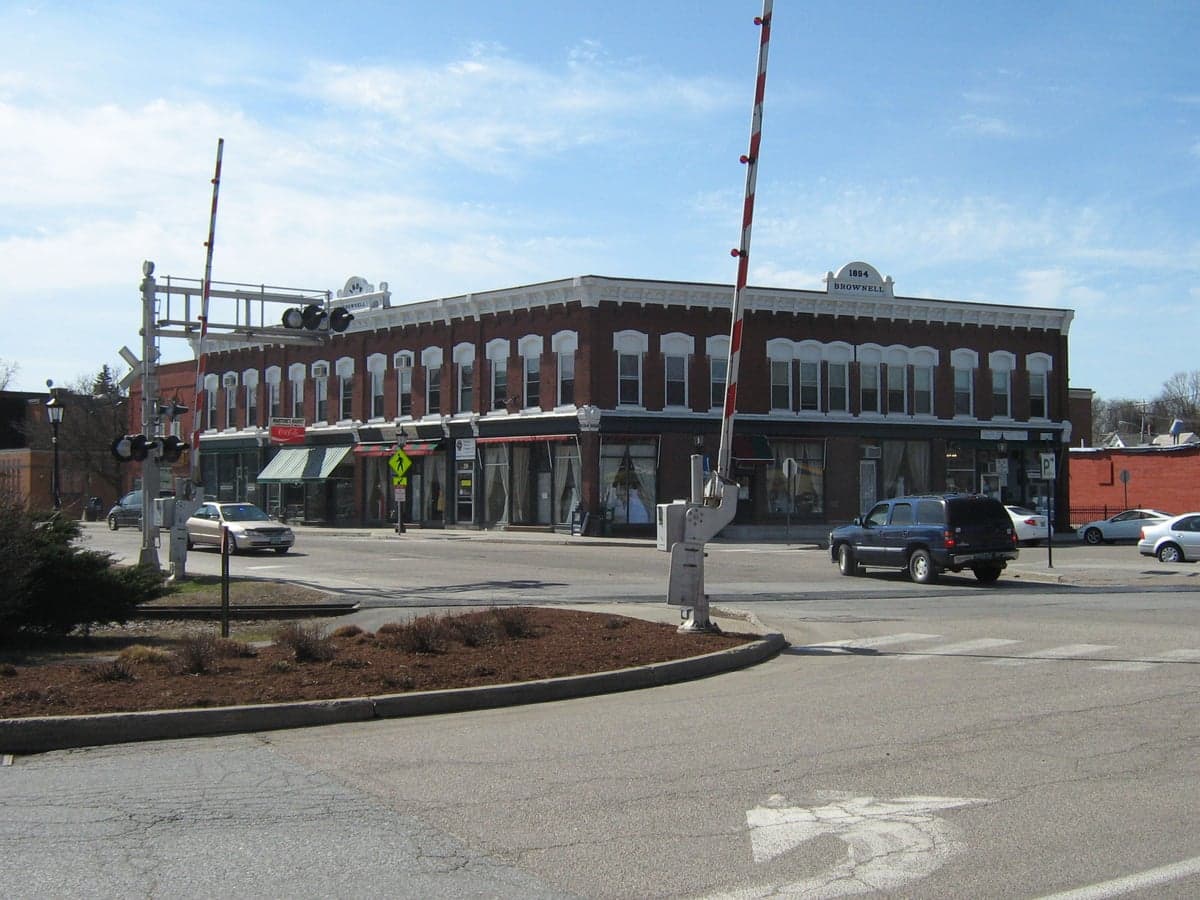
Photo: Wikipedia
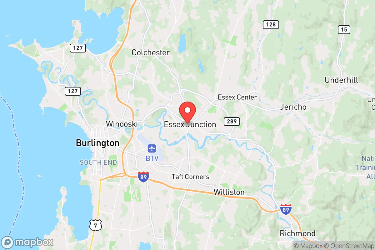
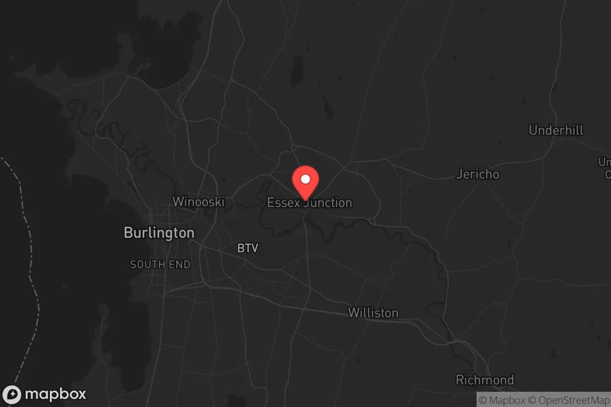
Strategic Assessment of Essex Junction, VT
Multiple tactical vulnerabilities. Population density, target proximity, or disaster risk are likely compounding. A retreat property and exit planning is required.
What does the Strategic Assessment tell us?
Our Strategic Assessment grades tactical survivability of an area. Major population centers, military targets, fallout zones, natural disasters, and border exposure all drive risk — lower exposure means a more defensible position in a crisis.
This is heavily inspired by Joel Skousen's Strategic Relocation book. Highly recommended you checkout the book ($)What does this tell us?
Our Strategic Assessment grades tactical survivability of an area. Major population centers, military targets, fallout zones, natural disasters, and border exposure all drive risk — lower exposure means a more defensible position in a crisis.
This is heavily inspired by Joel Skousen's Strategic Relocation book. Highly recommended you checkout the book ($)Strategic Pillars

Key Distances
Regional Safe Places
Below is our recommended "safe zones" in Vermont and the surrounding area based on our strategic heuristics. For most people, it's unrealistic to live in a “safe zone” full-time due to work, family or other personal reasons. They tend to be more rural. However, many of these areas are perfect for second homes and retreat properties that double as a vacation home or even a short-term rental.


Important Note: For informational purposes only. This does not mean nothing bad ever happens in the green zones. Please use common sense. This is based on public data and modeled with AI. We tried to take a conservative approach but mistakes happen. We update this regularly as new information becomes available.
Solar Generator Recommendations
Backup power matters more here than in safer locations. We've picked three solar generators across budgets and capacity tiers — start with the budget unit if you only need a few essentials, or step up if you want to run a fridge and HVAC for days at a time.

Jackery Portable Power Station Explorer 300
Budget OptionPower on the Go: Weighing only 11 lbs, it's convenient to set up and store with book-sized foldable solar panels

BLUETTI Portable Power Station AC180
Designed for both indoor and outdoor scenarios, AC180 is highly capable as it has a robost capacity and continuous output power.

EF ECOFLOW DELTA Pro Ultra Power Station
Upgraded PickEcoFlow DELTA Pro Ultra is a whole-home energy system designed to grow with your family. Integrated with the Smart Home Panel 2, it scales to meet your evolving energy needs — keeping your home powered, intelligent, and secure through every stage of life.
We earn a commission, at no additional cost to you.
Strategic Assessment Analysis
Essex Junction, Vermont, presents a mixed strategic picture for the conservative prepper: it offers genuine natural-resilience advantages in water and defensible terrain, but its proximity to Burlington and the associated infrastructure of a state capital and regional economic hub introduces risks that a serious relocator must weigh. The town sits in a sweet spot of being close enough to supply lines and medical care, yet far enough from the worst of urban chaos—provided you plan your exit routes and supply caches carefully. For the single individual or family looking to weather civic unrest, mass casualty events, or systemic collapse, Essex Junction is a location that rewards preparation but punishes complacency.
Geographic position and natural advantages for long-term survival
Essex Junction occupies a strategic position in the Champlain Valley, roughly 5 miles east of Lake Champlain and 10 miles southeast of Burlington. The surrounding terrain is a mix of rolling hills, forested ridges, and agricultural flats, offering both concealment and agricultural potential. The Winooski River runs just south of the town, providing a reliable surface water source that, with proper filtration, can sustain a household indefinitely. The area’s elevation—around 300 to 400 feet above sea level—keeps it above the worst flood zones while still being low enough to avoid the brutal winter winds that scour the higher elevations of the Green Mountains to the east. For a prepper, this means you can dig a well, harvest rainwater, and rely on gravity-fed systems without the extreme cold that makes off-grid living in northern New England a constant battle. The soil in the valley is among Vermont’s best for gardening, with a growing season of roughly 120–140 days—enough for cold-hardy crops like potatoes, kale, and root vegetables. The town’s position also places it within a 30-minute drive of multiple state parks and national forest lands (Camel’s Hump State Park, Mount Mansfield State Forest), which serve as both bug-out destinations and sources of wild game, timber, and medicinal plants. For the conservative relocator, this geographic package offers a rare combination: defensible terrain, abundant fresh water, and a climate that, while harsh, is survivable with proper gear and planning.
Risks, exposures, and proximity to fallout-relevant landmarks
The most significant strategic liability of Essex Junction is its proximity to Burlington, Vermont’s largest city and a regional hub for government, healthcare, and higher education. Burlington sits just 10 miles to the west, and in a scenario of civic unrest or mass casualty event, that population center—roughly 45,000 people within city limits, and over 200,000 in the metro area—could become a source of desperate refugees, looting parties, or organized chaos. The University of Vermont Medical Center, the state’s largest hospital and Level I trauma center, is in Burlington; while that’s a plus for routine medical care, in a collapse scenario it becomes a magnet for the injured, the infected, and the desperate. Essex Junction itself is bisected by Interstate 89, which runs from the Canadian border through Burlington and down to White River Junction. That highway is a double-edged sword: it provides quick access to supply runs and evacuation routes, but it also funnels traffic and potential threats directly through the town. A secondary risk is the Vermont Yankee nuclear power plant, located about 50 miles south in Vernon. While decommissioned, the spent fuel pools and dry cask storage remain on-site, and a catastrophic event—whether natural or man-made—could still release radiation. Prevailing winds in the Champlain Valley generally blow from the west and southwest, meaning Essex Junction is downwind of that site in many weather patterns. The town also sits within 20 miles of the Burlington International Airport, a potential target for any adversary seeking to disrupt regional logistics. For the prepper, these exposures mean that a bug-out plan must account for both urban spillover from Burlington and the possibility of a radiological event from the south. The defensibility of Essex Junction itself is moderate: the terrain offers some natural chokepoints (the Winooski River crossings, the limited road network through the hills), but the town’s layout—a mix of suburban subdivisions, commercial strips, and light industrial zones—makes it hard to secure without a coordinated neighborhood watch or community defense group.
Practical resilience for a relocator: food, water, energy, and defensibility
For the individual or family looking to establish a resilient household in Essex Junction, the practical considerations break down into four categories: food, water, energy, and defensibility. On water, the town’s municipal supply comes from the Champlain Valley aquifer, which is generally reliable and of good quality. But a prepper should not rely on the grid. A deep well on your property—most lots in the area can support a 200–300 foot well yielding 10–20 gallons per minute—is the gold standard. Rainwater catchment is also viable, with average annual precipitation of about 35 inches, though winter snow requires a heated collection system or a plan to melt snow for water. On food, the growing season is short but productive. The local soil is loamy and well-drained in the valley, and there are several community gardens and farm stands within a 10-minute drive. For long-term storage, the cold winters make root cellaring and cold storage natural advantages—temperatures in an unheated basement or root cellar stay in the 32–40°F range from November through March. On energy, the region is increasingly hostile to fossil fuels, but solar is viable. Essex Junction gets about 160 sunny days per year, which is below the national average but still enough for a properly sized off-grid solar array with battery storage. Wood heat is the most reliable backup: the surrounding forests are predominantly hardwood (maple, oak, beech), and a cord of seasoned firewood can be had for $200–$300 if you don’t cut your own. A wood stove or outdoor boiler is essential for winter survival. On defensibility, Essex Junction is not a fortress. The town’s density—about 1,200 people per square mile—means neighbors are close, and a determined group could overwhelm a single household. The best strategy is to buy a property on the eastern or southern edge of town, where lots are larger (1–5 acres) and the terrain offers natural barriers like wooded ridges or stream crossings. A property with a long driveway, a clear field of fire, and a basement or storm shelter is ideal. The local gun culture is present but not dominant; Vermont has some of the most permissive firearm laws in the country, and a prepper can legally own and carry without a permit. That said, the political climate in Chittenden County (which includes Essex Junction) leans left, so open carry may attract unwanted attention. Discretion is the better part of valor here.
The overall strategic picture for Essex Junction is one of calculated risk. It offers genuine natural advantages—abundant water, defensible terrain, agricultural potential, and proximity to wilderness—that make it a viable long-term base for a prepared individual or family. But those advantages come with strings attached: proximity to a major population center, a major highway, and a decommissioned nuclear site. The conservative prepper relocating here must treat it as a forward operating base, not a final redoubt. Stockpile supplies for at least 90 days of self-sufficiency, develop a bug-out plan to the east (into the Green Mountain National Forest or the Northeast Kingdom), and build relationships with like-minded neighbors before the crisis hits. Essex Junction is not a place to ride out the apocalypse alone—but with the right preparation, it can be a place to ride it out smartly.
* Values derived from national, state, county, city and local statistics and may differ in a specific area. Last updated: 2026-04-24T12:16:37.000Z
Narrative content on this page is AI-generated and may contain mistakes. Verify any details that matter before acting on them.
ReloMaps may earn a commission from affiliate links at no extra cost to you.