
Photo: Wikipedia
Strategic Assessment of Falls City, NE
Workable tactical position. Some exposure to population density or targets, but generally defensible in a crisis.
What does the Strategic Assessment tell us?
Our Strategic Assessment grades tactical survivability of an area. Major population centers, military targets, fallout zones, natural disasters, and border exposure all drive risk — lower exposure means a more defensible position in a crisis.
This is heavily inspired by Joel Skousen's Strategic Relocation book. Highly recommended you checkout the book ($)What does this tell us?
Our Strategic Assessment grades tactical survivability of an area. Major population centers, military targets, fallout zones, natural disasters, and border exposure all drive risk — lower exposure means a more defensible position in a crisis.
This is heavily inspired by Joel Skousen's Strategic Relocation book. Highly recommended you checkout the book ($)Strategic Pillars

Key Distances
Regional Safe Places
Below is our recommended "safe zones" in Nebraska and the surrounding area based on our strategic heuristics. For most people, it's unrealistic to live in a “safe zone” full-time due to work, family or other personal reasons. They tend to be more rural. However, many of these areas are perfect for second homes and retreat properties that double as a vacation home or even a short-term rental.
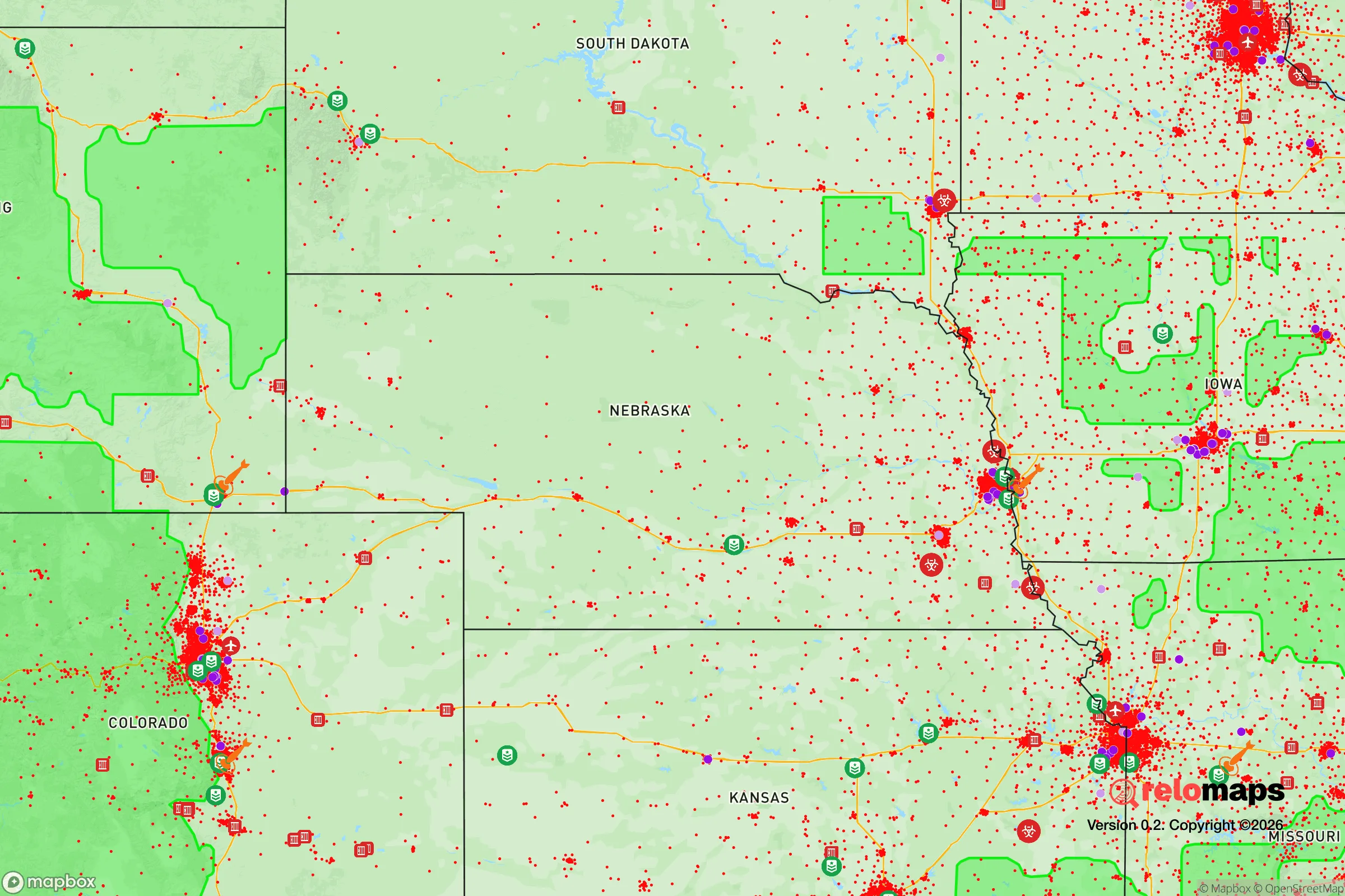
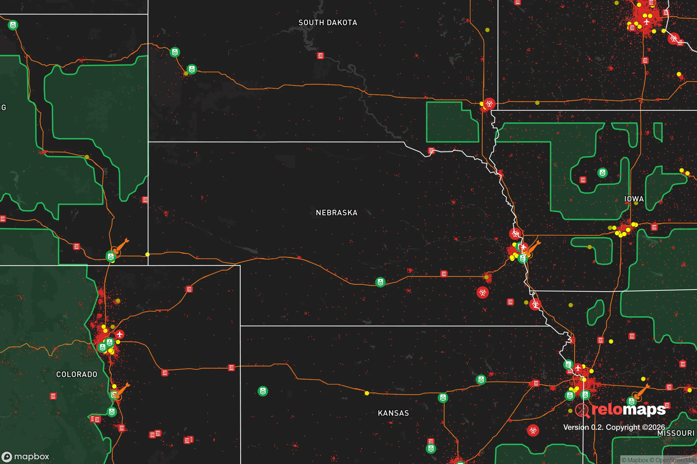
Important Note: For informational purposes only. This does not mean nothing bad ever happens in the green zones. Please use common sense. This is based on public data and modeled with AI. We tried to take a conservative approach but mistakes happen. We update this regularly as new information becomes available.
Solar Generator Recommendations
Backup power matters more here than in safer locations. We've picked three solar generators across budgets and capacity tiers — start with the budget unit if you only need a few essentials, or step up if you want to run a fridge and HVAC for days at a time.

Jackery Portable Power Station Explorer 300
Budget OptionPower on the Go: Weighing only 11 lbs, it's convenient to set up and store with book-sized foldable solar panels

BLUETTI Portable Power Station AC180
Designed for both indoor and outdoor scenarios, AC180 is highly capable as it has a robost capacity and continuous output power.

EF ECOFLOW DELTA Pro Ultra Power Station
Upgraded PickEcoFlow DELTA Pro Ultra is a whole-home energy system designed to grow with your family. Integrated with the Smart Home Panel 2, it scales to meet your evolving energy needs — keeping your home powered, intelligent, and secure through every stage of life.
We earn a commission, at no additional cost to you.
Strategic Assessment Analysis
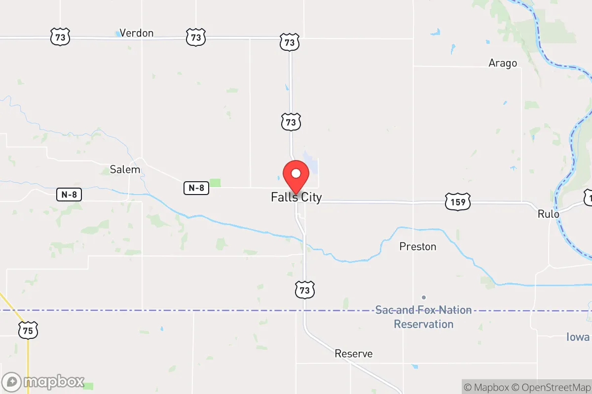
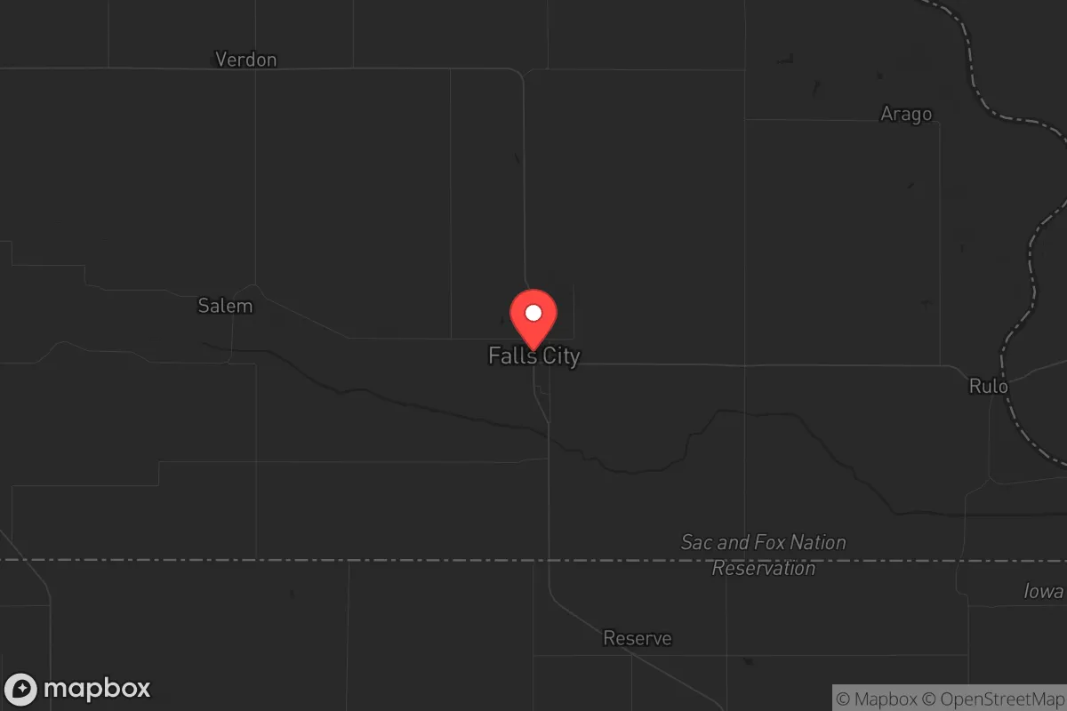
Falls City, Nebraska, sits in the far southeastern corner of the state, a position that offers a distinct blend of isolation and access that appeals to those thinking long-term about resilience. With a population hovering around 4,300, this Richardson County seat is far enough from major metropolitan chaos to provide a buffer, yet close enough to strategic resources that a prepared individual can leverage them without being swallowed by urban collapse scenarios. For the conservative-leaning relocator who views self-sufficiency and community cohesion as non-negotiable, Falls City presents a quiet, defensible base of operations in the heart of the Missouri River Valley.
Geographic position and natural advantages for long-term security
Falls City’s location is its primary strategic asset. It sits roughly 70 miles south of Omaha and 90 miles northwest of Kansas City, placing it outside the immediate blast radius or civil unrest zones of those population centers while still within a day’s drive for supply runs or medical evacuation if infrastructure holds. The town is nestled near the Missouri River, which provides a reliable water source and a natural boundary to the east—a feature that can serve as both a defensive barrier and a logistical corridor. The surrounding terrain is rolling hills and fertile bottomland, part of the Loess Hills region, which offers good drainage, natural cover, and agricultural potential. The area’s temperate climate means four distinct seasons, but without the extreme winter survival challenges of northern Nebraska; average January lows are around 15°F, manageable with proper preparation. The proximity to the Missouri River also means access to barge traffic and riverine trade routes, which could remain operational even if road networks become compromised. For a prepper, this geography translates into a defensible perimeter with natural chokepoints, particularly along the river bluffs and the few bridges crossing into Missouri and Kansas.
Risks, exposures, and proximity to fallout-relevant landmarks
No location is without vulnerabilities, and Falls City has several that a strategic relocator must weigh. The most immediate concern is the Cooper Nuclear Station, located roughly 30 miles northwest near Brownville, Nebraska. While not a direct target in a conventional conflict, a catastrophic failure or sabotage event could render large swaths of the Missouri River Valley uninhabitable for years. Prevailing winds in the region are from the south and southwest, which would push a radioactive plume toward Falls City in a worst-case scenario. Additionally, the town lies within 100 miles of Offutt Air Force Base near Omaha, a major U.S. Strategic Command hub that is a high-priority target in any peer-level conflict. A strike on Offutt could produce electromagnetic pulse (EMP) effects and fallout that would cascade into southeastern Nebraska. On the natural disaster front, the Missouri River is prone to flooding—the 2019 floods inundated large areas of Richardson County, though Falls City itself sits on higher ground and was largely spared. Tornado risk is moderate, with the area falling in the traditional “Tornado Alley” fringe; a direct hit is possible but statistically low. For the prepper, these risks mean that fallout shelter capability and a well-stocked bug-out location further west (toward the Sandhills or the Nebraska Panhandle) should be part of the contingency plan. The proximity to the Missouri River also means that any disruption to the upstream dams—Gavins Point, Fort Randall, or Oahe—could cause catastrophic flooding downstream, though Falls City’s elevation provides some buffer.
Practical resilience for a relocator: food, water, energy, and defensibility
Falls City’s practical resilience hinges on its agricultural base and small-town infrastructure. The surrounding Richardson County is prime farmland, producing corn, soybeans, and livestock. For a relocator, this means local food sources are abundant and accessible—farmers’ markets, direct-from-producer meat sales, and the ability to barter with neighbors are realistic. The town has its own municipal water supply drawn from groundwater wells, which is less vulnerable to surface contamination than river-fed systems, though a deep well on private property is a wise investment. Electricity comes from the Nebraska Public Power District grid, which is relatively stable but not immune to grid-down scenarios; solar panels with battery storage are a practical addition given the region’s 200+ sunny days per year. Natural gas is available in town, but propane tanks for off-grid heating and cooking are common in rural areas. Defensibility is a mixed bag: Falls City is laid out on a grid pattern with a compact downtown, which makes it easy to patrol but also means that a determined adversary could approach from multiple directions. The surrounding rural roads offer multiple egress routes, and the Missouri River bridges to the east provide a natural chokepoint that could be monitored or defended. The local population skews older and conservative, with a strong sense of community and a history of mutual aid—volunteer fire departments, church networks, and a county sheriff’s office that knows its residents. For a single individual or family, integrating into this social fabric is key; isolationism will be a liability in a prolonged crisis. The town also has a small hospital (Community Medical Center) and a local airport (Falls City-Brenner Field) for emergency evacuation, though both are limited in capacity.
The overall strategic picture for Falls City is one of calculated trade-offs. It offers a solid foundation for a prepared relocator who values rural self-sufficiency, community cohesion, and a buffer from urban decay, but it demands proactive mitigation of nuclear and flood risks. The town is not a fortress—it’s a working-class agricultural community with the strengths and weaknesses that implies. For the conservative prepper who wants to be part of a functioning local economy rather than a lone wolf in the wilderness, Falls City provides a realistic base. The key is to treat it as a hub, not a final redoubt: stockpile supplies, build relationships, and have a secondary plan for relocation if the Cooper plant or Offutt scenarios materialize. In a world where the federal government’s reliability is increasingly questionable, Falls City’s greatest asset is its people—neighbors who still know how to fix a tractor, butcher a hog, and watch out for each other. That’s a resource no bunker can replace.
* Values derived from national, state, county, city and local statistics and may differ in a specific area. Last updated: 2026-04-19T07:06:23.000Z
Narrative content on this page is AI-generated and may contain mistakes. Verify any details that matter before acting on them.
ReloMaps may earn a commission from affiliate links at no extra cost to you.