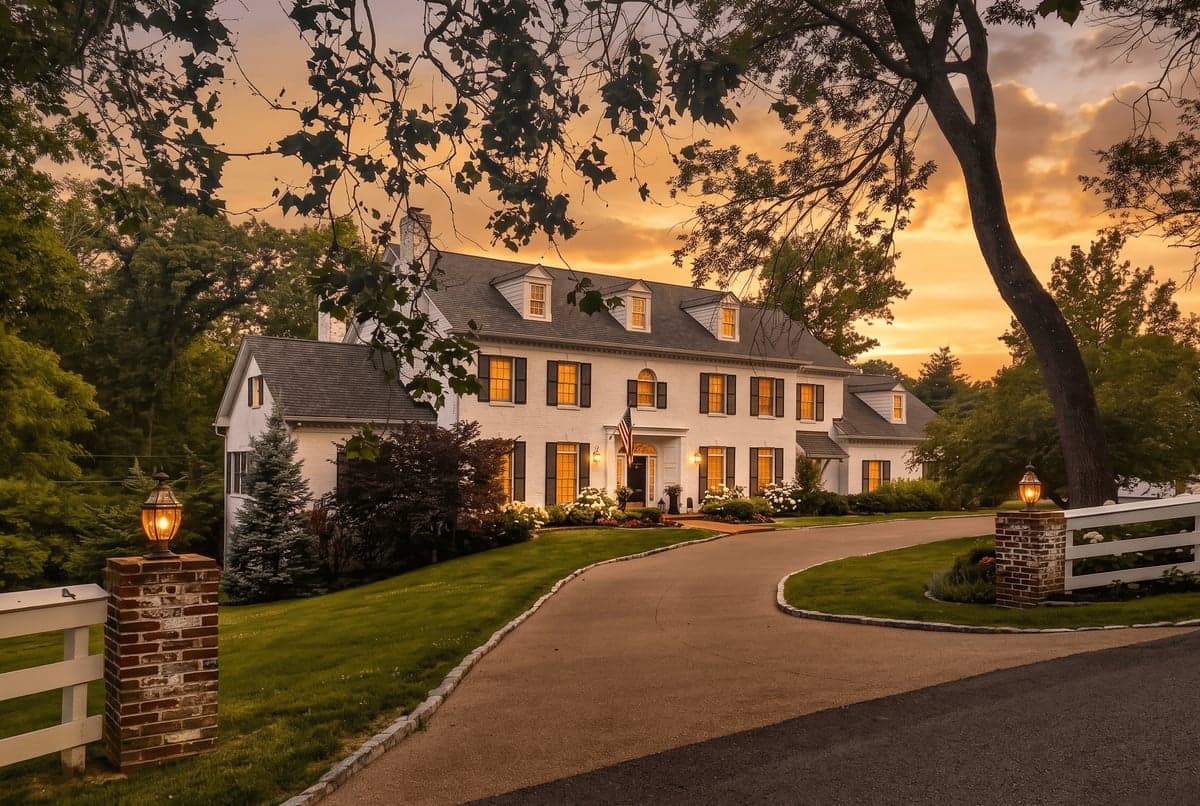
Strategic Assessment of Frontenac, MO
Meaningful friction. Expect exposure to either population pressure, blast zones, or natural disaster risk. Consider buying a retreat property.
What does the Strategic Assessment tell us?
Our Strategic Assessment grades tactical survivability of an area. Major population centers, military targets, fallout zones, natural disasters, and border exposure all drive risk — lower exposure means a more defensible position in a crisis.
This is heavily inspired by Joel Skousen's Strategic Relocation book. Highly recommended you checkout the book ($)What does this tell us?
Our Strategic Assessment grades tactical survivability of an area. Major population centers, military targets, fallout zones, natural disasters, and border exposure all drive risk — lower exposure means a more defensible position in a crisis.
This is heavily inspired by Joel Skousen's Strategic Relocation book. Highly recommended you checkout the book ($)Strategic Pillars

Key Distances
Regional Safe Places
Below is our recommended "safe zones" in Missouri and the surrounding area based on our strategic heuristics. For most people, it's unrealistic to live in a “safe zone” full-time due to work, family or other personal reasons. They tend to be more rural. However, many of these areas are perfect for second homes and retreat properties that double as a vacation home or even a short-term rental.


Important Note: For informational purposes only. This does not mean nothing bad ever happens in the green zones. Please use common sense. This is based on public data and modeled with AI. We tried to take a conservative approach but mistakes happen. We update this regularly as new information becomes available.
Solar Generator Recommendations
Backup power matters more here than in safer locations. We've picked three solar generators across budgets and capacity tiers — start with the budget unit if you only need a few essentials, or step up if you want to run a fridge and HVAC for days at a time.

Jackery Portable Power Station Explorer 300
Budget OptionPower on the Go: Weighing only 11 lbs, it's convenient to set up and store with book-sized foldable solar panels

BLUETTI Portable Power Station AC180
Designed for both indoor and outdoor scenarios, AC180 is highly capable as it has a robost capacity and continuous output power.

EF ECOFLOW DELTA Pro Ultra Power Station
Upgraded PickEcoFlow DELTA Pro Ultra is a whole-home energy system designed to grow with your family. Integrated with the Smart Home Panel 2, it scales to meet your evolving energy needs — keeping your home powered, intelligent, and secure through every stage of life.
We earn a commission, at no additional cost to you.
Strategic Assessment Analysis
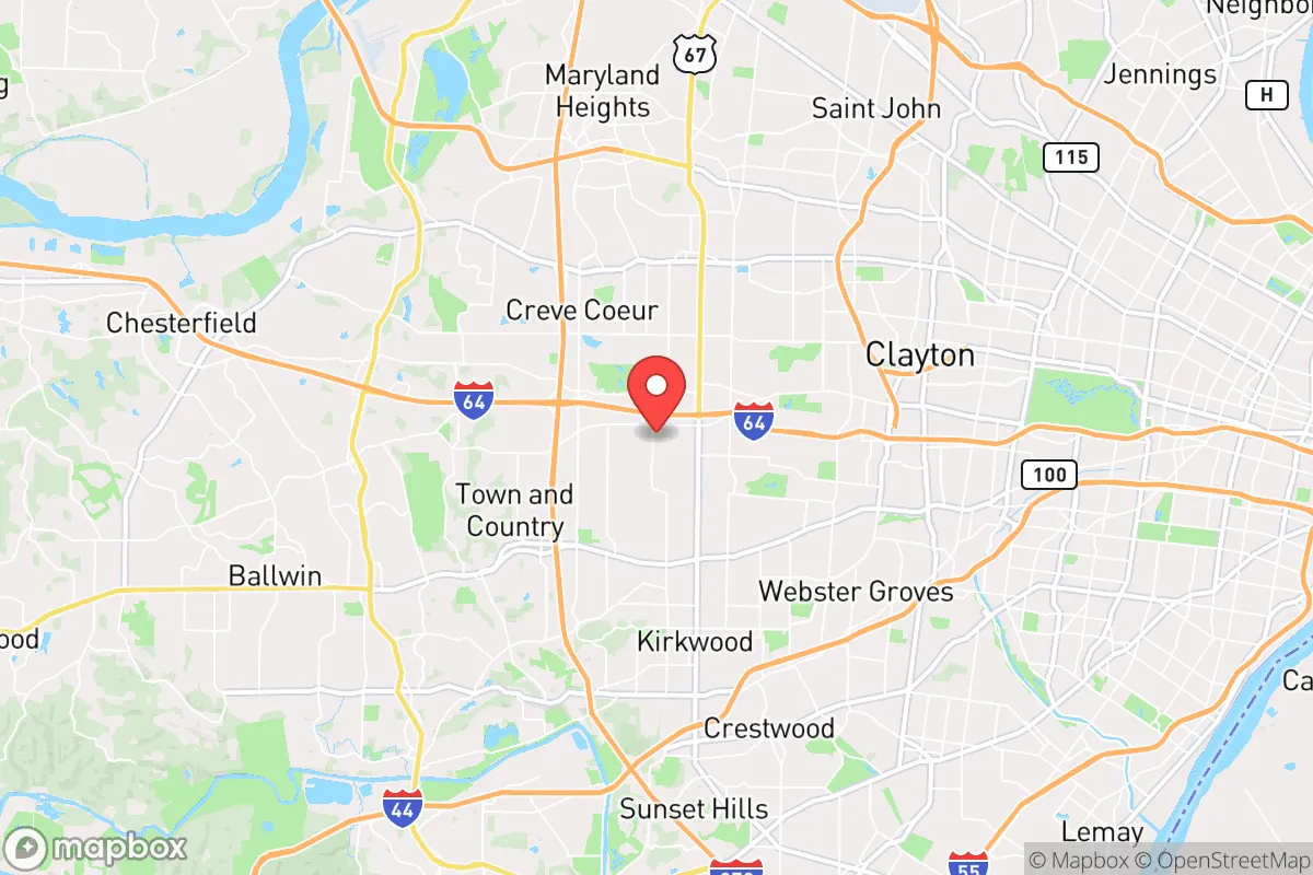
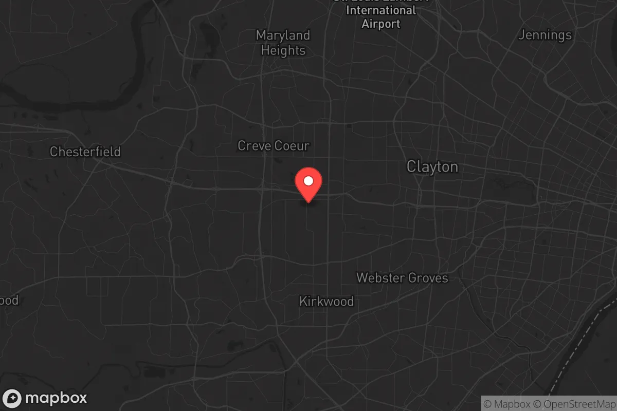
Frontenac, Missouri, offers a strategic paradox for the prepper-minded relocator: it sits in the affluent St. Louis exurbs, yet its specific geography and low-profile infrastructure provide a surprising degree of resilience for those willing to trade absolute rural isolation for proximity to critical resources. The village’s position in western St. Louis County, roughly 20 miles from downtown St. Louis, places it outside the immediate blast radius of any major urban target while still allowing access to the region’s medical, logistical, and supply networks. For a conservative-leaning individual or family concerned with civic unrest, mass casualty events, or slow-motion societal decay, Frontenac’s key advantage is its ability to function as a quiet, defensible staging ground—provided you understand its vulnerabilities and plan accordingly.
Geographic position and natural defensive advantages of the Frontenac area
Frontenac sits on a ridge overlooking the Missouri River floodplain, with the Meramec River to the south and the Missouri River to the north. This elevated terrain offers natural drainage and a degree of physical separation from the lower-lying, more densely populated corridors of St. Louis County. The village is surrounded by the larger municipalities of Ladue, Town and Country, and Des Peres—all wealthy, low-crime enclaves that act as a buffer zone against the kind of urban spillover you’d see from North St. Louis or the city proper. The area’s tree canopy and winding, dead-end roads (like Geyer Road and Spoede Road) create natural chokepoints; a determined group could effectively monitor the few main arteries—Clayton Road, Lindbergh Boulevard, and Highway 40/64—that feed into the village. For a prepper, this means you’re not trying to defend a wide-open rural perimeter but rather a compact, easily observed network of streets. The nearby Missouri River bluffs also provide potential retreat routes west into more rural St. Charles County or south toward the Ozarks, should a full evacuation become necessary.
Risks, exposures, and proximity to fallout-relevant landmarks
The biggest strategic liability for Frontenac is its proximity to high-value targets that could draw secondary effects during a major conflict or terrorist event. Lambert–St. Louis International Airport is roughly 12 miles north—a prime target for any adversary seeking to disrupt air mobility. The Boeing defense plant in Berkeley (about 15 miles north) and the National Geospatial-Intelligence Agency’s new western headquarters in north St. Louis (roughly 18 miles east) are both Tier-1 targets in a conventional war scenario. While Frontenac is outside the immediate blast radius of a nuclear weapon aimed at downtown St. Louis (about 20 miles east), prevailing westerly winds would carry fallout from any strike on the city’s core or the NGA facility directly over the village. A 2025 FEMA fallout modeling study for the St. Louis region placed western St. Louis County in the moderate-to-high risk zone for a 10-kiloton ground burst on the Arch. Additionally, the village sits near the intersection of I-64 and I-270, two major evacuation routes that would become instant parking lots during a crisis—meaning you cannot rely on road mobility if you wait until the last minute. The presence of multiple private hospitals (Mercy Hospital St. Louis, Barnes-Jewish West County) within a 5-mile radius is a double-edged sword: they’re excellent for peacetime medical care but would be overwhelmed and potentially targeted during a mass casualty event.
Practical resilience for a relocator: food, water, energy, and defensibility
Frontenac’s residential character—large lots, deep setbacks, and a culture of privacy—lends itself to low-profile preparedness. Most homes are on 1-to-5-acre parcels, which is enough space for a substantial vegetable garden, a small orchard, and even a few chickens without drawing attention from neighbors. The village’s zoning code is strict, but it allows for “accessory structures” like sheds and greenhouses, so you can build out a food-production system without violating HOA-style rules. Water is the weak point: the area relies on the St. Louis County Water Company, which draws from the Missouri River. A prolonged power outage or contamination event would cut municipal supply within hours. A prepper here needs at least a 1,000-gallon cistern or a deep well—but note that drilling permits in Frontenac are expensive and require a 200-foot setback from property lines. Energy resilience is more promising: the village has above-average grid reliability due to its proximity to the Labadie Power Plant (a coal/natural gas facility 20 miles west), but you should still plan for solar panels with battery storage. The tree cover means partial shading, so ground-mounted panels in a south-facing clearing are ideal. Defensibility is strong for a suburban setting: the village has its own police department (24/7 patrols, response times under 5 minutes), and the surrounding communities are all low-crime, meaning you’re not dealing with the kind of petty theft and home invasions that plague inner-ring suburbs. For a family, the local school district (Ladue School District) is one of the best in the state, which means your kids get a quality education while you maintain a low profile—no one questions a family living here for the schools.
The overall strategic picture for Frontenac is that of a high-cost, high-reward bug-in location for the prepared relocator. You pay a premium for the land and the buffer of wealthy neighbors, but you get a defensible, low-crime, resource-adjacent base that can sustain a family through most disruptions short of a direct nuclear strike. The key is to treat Frontenac not as a final retreat but as a forward operating base: stock it with supplies, harden it against grid failure, and have a secondary bug-out location in the Missouri Ozarks (say, around Steelville or Eminence) for a true SHTF scenario. If you can afford the entry price—expect $800,000 to $1.5 million for a move-in-ready home on 2+ acres—and you’re willing to invest another $50,000 to $100,000 in off-grid infrastructure, Frontenac gives you the best of both worlds: suburban normalcy today, survival capability tomorrow. Just don’t kid yourself about the fallout risk or the traffic choke points. Plan for those, and you’ve got a solid strategic position in a region that’s otherwise too exposed for comfort.
* Values derived from national, state, county, city and local statistics and may differ in a specific area. Last updated: 2026-04-27T14:58:48.000Z
Narrative content on this page is AI-generated and may contain mistakes. Verify any details that matter before acting on them.
ReloMaps may earn a commission from affiliate links at no extra cost to you.