Photo: Wikipedia
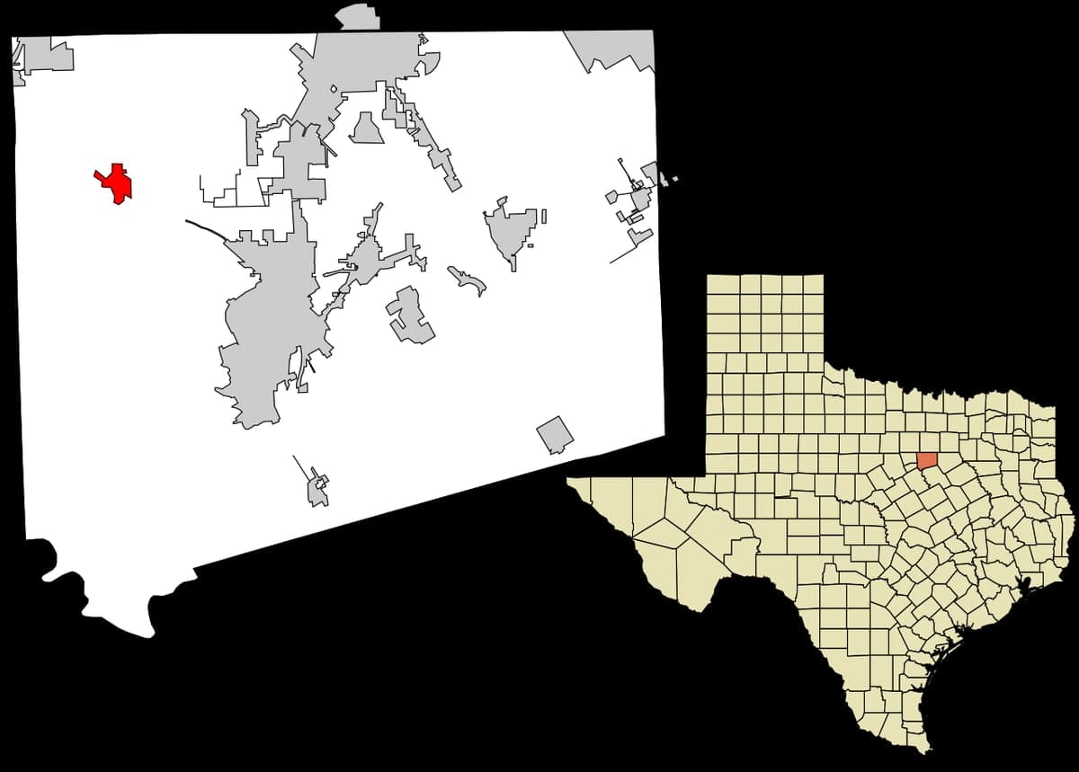
Strategic Assessment of Godley, TX
Meaningful friction. Expect exposure to either population pressure, blast zones, or natural disaster risk. Consider buying a retreat property.
What does the Strategic Assessment tell us?
Our Strategic Assessment grades tactical survivability of an area. Major population centers, military targets, fallout zones, natural disasters, and border exposure all drive risk — lower exposure means a more defensible position in a crisis.
This is heavily inspired by Joel Skousen's Strategic Relocation book. Highly recommended you checkout the book ($)What does this tell us?
Our Strategic Assessment grades tactical survivability of an area. Major population centers, military targets, fallout zones, natural disasters, and border exposure all drive risk — lower exposure means a more defensible position in a crisis.
This is heavily inspired by Joel Skousen's Strategic Relocation book. Highly recommended you checkout the book ($)Strategic Pillars

Key Distances
Regional Safe Places
Below is our recommended "safe zones" in Texas and the surrounding area based on our strategic heuristics. For most people, it's unrealistic to live in a “safe zone” full-time due to work, family or other personal reasons. They tend to be more rural. However, many of these areas are perfect for second homes and retreat properties that double as a vacation home or even a short-term rental.


Important Note: For informational purposes only. This does not mean nothing bad ever happens in the green zones. Please use common sense. This is based on public data and modeled with AI. We tried to take a conservative approach but mistakes happen. We update this regularly as new information becomes available.
Solar Generator Recommendations
Backup power matters more here than in safer locations. We've picked three solar generators across budgets and capacity tiers — start with the budget unit if you only need a few essentials, or step up if you want to run a fridge and HVAC for days at a time.

Jackery Portable Power Station Explorer 300
Budget OptionPower on the Go: Weighing only 11 lbs, it's convenient to set up and store with book-sized foldable solar panels

BLUETTI Portable Power Station AC180
Designed for both indoor and outdoor scenarios, AC180 is highly capable as it has a robost capacity and continuous output power.

EF ECOFLOW DELTA Pro Ultra Power Station
Upgraded PickEcoFlow DELTA Pro Ultra is a whole-home energy system designed to grow with your family. Integrated with the Smart Home Panel 2, it scales to meet your evolving energy needs — keeping your home powered, intelligent, and secure through every stage of life.
We earn a commission, at no additional cost to you.
Strategic Assessment Analysis
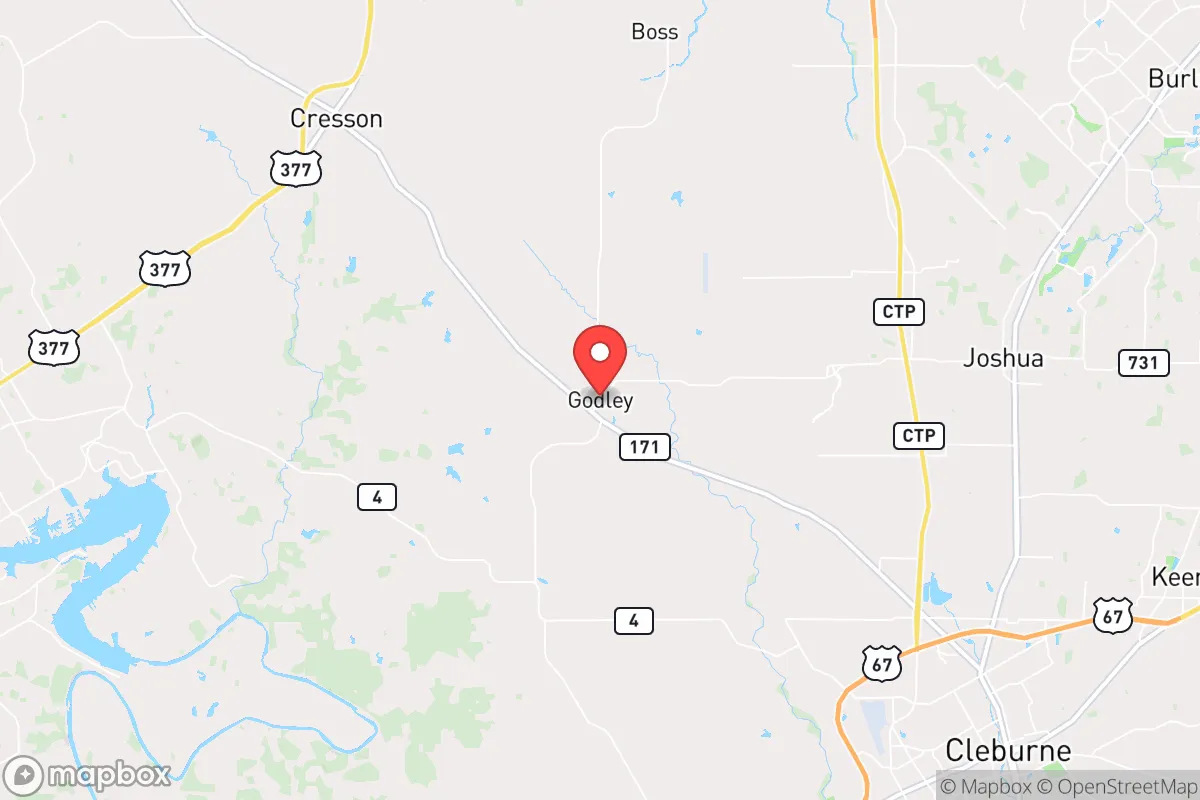
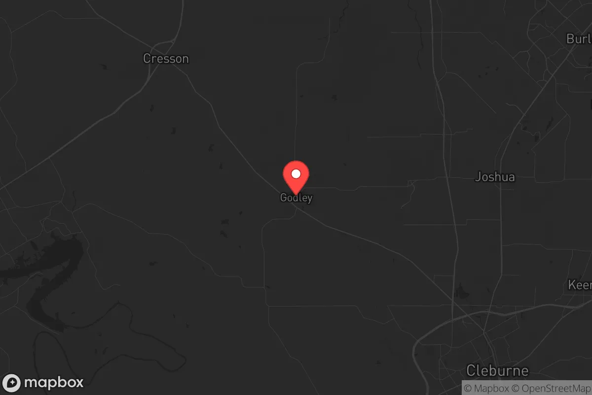
Godley, Texas, sits in a position that offers genuine strategic depth for those thinking seriously about resilience, but it is not without its trade-offs. Located roughly 30 miles southwest of Fort Worth in Johnson County, this unincorporated community benefits from being far enough from the Dallas-Fort Worth metroplex to avoid the worst of a major urban collapse, yet close enough to access critical supplies and medical infrastructure if the roads are still open. The area’s low population density—around 1,200 residents as of the 2020 census—combined with its position on the edge of the Cross Timbers ecoregion, gives it a natural buffer against the kind of cascading failures that would cripple a dense suburb. For a relocator weighing long-term survivability against access to resources, Godley presents a credible, if not perfect, option.
Geographic position and natural advantages for long-term survival
Godley’s geography is its strongest card. The town sits on the eastern edge of the Grand Prairie, where the terrain transitions into rolling hills and oak woodlands—terrain that offers both cover and defensible positions. The Brazos River flows about 10 miles to the west, providing a reliable water source that is less likely to be contaminated by industrial runoff compared to the Trinity River closer to Dallas. The area’s elevation, roughly 900 feet above sea level, puts it above the floodplains that plague much of North Texas, reducing the risk of catastrophic flooding even during extreme weather events. The soil is a mix of clay and sandy loam, which, while not ideal for large-scale agriculture, can support kitchen gardens and small orchards with proper amendment. The local aquifer, the Trinity Group, is accessible via private wells at depths of 200 to 400 feet, and many existing properties already have well water—a critical advantage if municipal systems fail. The climate is a double-edged sword: hot summers and occasional drought stress water supplies, but the growing season stretches from March to November, allowing for extended food production. For a prepper, the key takeaway is that Godley offers a defensible, water-accessible location with enough land to sustain a small family group without relying on fragile urban infrastructure.
Risks, exposures, and proximity to fallout-relevant landmarks
No location is a fortress, and Godley has vulnerabilities that demand attention. The most immediate risk is its proximity to the Dallas-Fort Worth metroplex, a population center of over 7.5 million people. In a scenario involving civil unrest, mass casualty events, or a major disaster, that population would likely attempt to flee outward along major highways like US-67 and I-35W, both of which pass within 15 miles of Godley. The town itself sits on FM-2331, a two-lane road that could become a chokepoint if evacuees pour south. Johnson County as a whole has seen rapid growth—population up 22% since 2020—meaning more people are already living in the rural-urban fringe, increasing the chance of resource competition during a crisis. On the industrial side, the nearest nuclear-related infrastructure is the Comanche Peak Nuclear Power Plant, located about 60 miles southwest near Glen Rose. While that distance provides a reasonable safety margin for fallout in the event of a meltdown or attack, prevailing winds from the south-southwest could carry particulate matter toward Godley under certain conditions. More concerning is the proximity to rail lines and pipelines that run through Johnson County, carrying crude oil, natural gas, and chemicals from the Permian Basin to refineries in the Gulf. A derailment or pipeline rupture could contaminate local water sources or force an evacuation. For the strategic relocator, these risks are manageable with proper planning—stockpiling water, maintaining a bug-out route to the west or south, and avoiding reliance on any single supply chain—but they cannot be ignored.
Practical resilience for a relocator: food, water, energy, and defensibility
Godley’s practical resilience hinges on three factors: water access, land availability, and community isolation. Water is the most critical. The Brazos River is a perennial stream, but surface water requires treatment—boiling, filtration, or chemical purification—to be safe for consumption. A better bet is drilling a private well; the Trinity Aquifer yields moderate volumes, typically 10 to 30 gallons per minute, enough for a household and small-scale irrigation. Many properties in the area already have wells, and the county does not heavily regulate domestic use, so a relocator should prioritize a home with an existing well or the ability to drill one. Food production is feasible but not effortless. The growing season is long, but the soil is alkaline and low in organic matter, so raised beds or imported topsoil are recommended. Local livestock—cattle, goats, and chickens—are common, and the county has no restrictive zoning that would prevent keeping a few animals on a standard 1- to 5-acre lot. For energy, the region averages 220 sunny days per year, making solar panels a viable primary or backup power source. Net metering is available through local co-ops like Johnson County Electric Cooperative, but a prepper should plan for off-grid capability with battery storage. Defensibility is where Godley shines. The town is not a major thoroughfare; the nearest interstate is I-35W, 20 miles east, and the local road network is a maze of farm-to-market roads that can be easily monitored or blocked. The terrain—rolling hills with scattered oak and cedar—provides natural cover and fields of fire for those with the training to use it. The nearest law enforcement presence is the Johnson County Sheriff’s Office in Cleburne, about 12 miles south, which means response times in a crisis could be 20 minutes or more. For a prepared individual or family, that isolation is an asset, not a liability.
The overall strategic picture for Godley is one of cautious optimism. It is not a hardened bunker, nor is it a remote wilderness where you can disappear entirely. What it offers is a middle ground: close enough to urban resources to stock up and gather intelligence, far enough to avoid the initial wave of chaos. The community itself is small and largely conservative, with a strong ranching and agricultural tradition that values self-reliance and mutual aid—traits that matter when systems break down. The biggest threat is not the location itself but the corridor of vulnerability along US-67 and I-35W, which could bring trouble from the north. A relocator who secures a property with a well, solar panels, and a defensible perimeter, and who builds relationships with a few like-minded neighbors, will find Godley a solid base for weathering the storms ahead. It is not a paradise, but in a world where the grid is fragile and the cities are tinderboxes, it is a place where preparation still counts for something.
* Values derived from national, state, county, city and local statistics and may differ in a specific area. Last updated: 2026-04-18T19:35:35.000Z
Narrative content on this page is AI-generated and may contain mistakes. Verify any details that matter before acting on them.
ReloMaps may earn a commission from affiliate links at no extra cost to you.