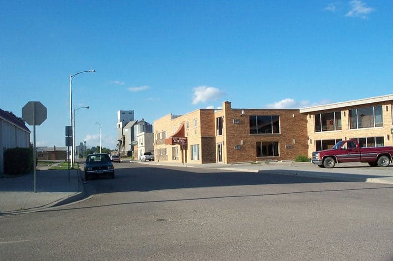
Photo: Wikipedia
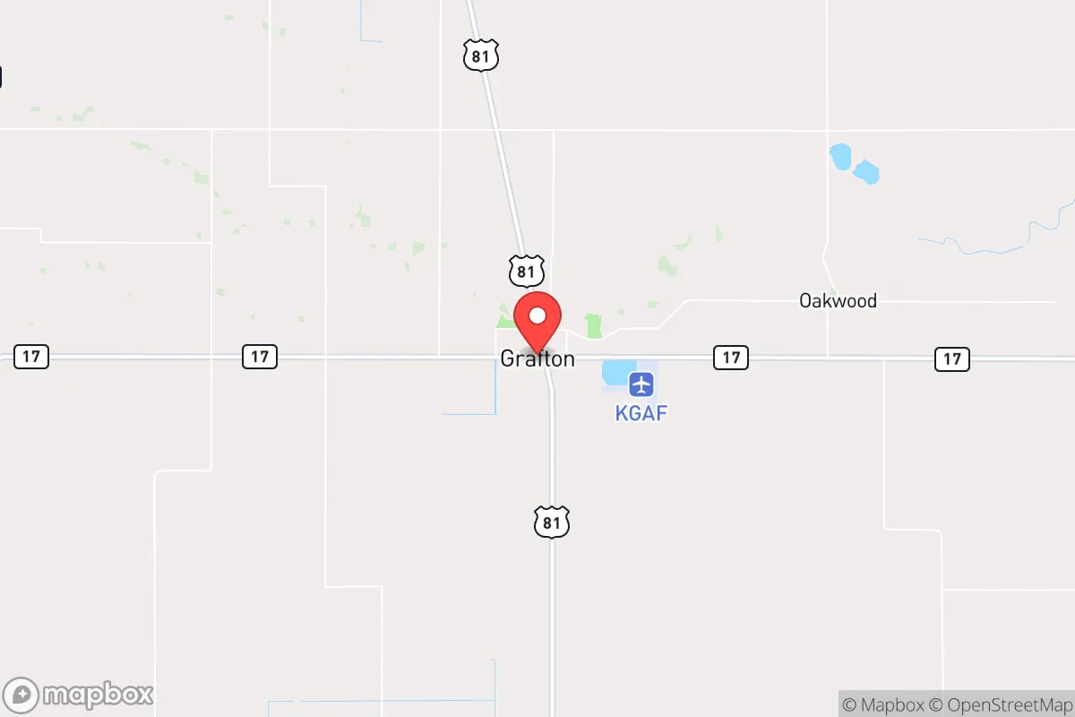
Strategic Assessment of Grafton, ND
Workable tactical position. Some exposure to population density or targets, but generally defensible in a crisis.
What does the Strategic Assessment tell us?
Our Strategic Assessment grades tactical survivability of an area. Major population centers, military targets, fallout zones, natural disasters, and border exposure all drive risk — lower exposure means a more defensible position in a crisis.
This is heavily inspired by Joel Skousen's Strategic Relocation book. Highly recommended you checkout the book ($)What does this tell us?
Our Strategic Assessment grades tactical survivability of an area. Major population centers, military targets, fallout zones, natural disasters, and border exposure all drive risk — lower exposure means a more defensible position in a crisis.
This is heavily inspired by Joel Skousen's Strategic Relocation book. Highly recommended you checkout the book ($)Strategic Pillars

Key Distances
Regional Safe Places
Below is our recommended "safe zones" in North Dakota and the surrounding area based on our strategic heuristics. For most people, it's unrealistic to live in a “safe zone” full-time due to work, family or other personal reasons. They tend to be more rural. However, many of these areas are perfect for second homes and retreat properties that double as a vacation home or even a short-term rental.
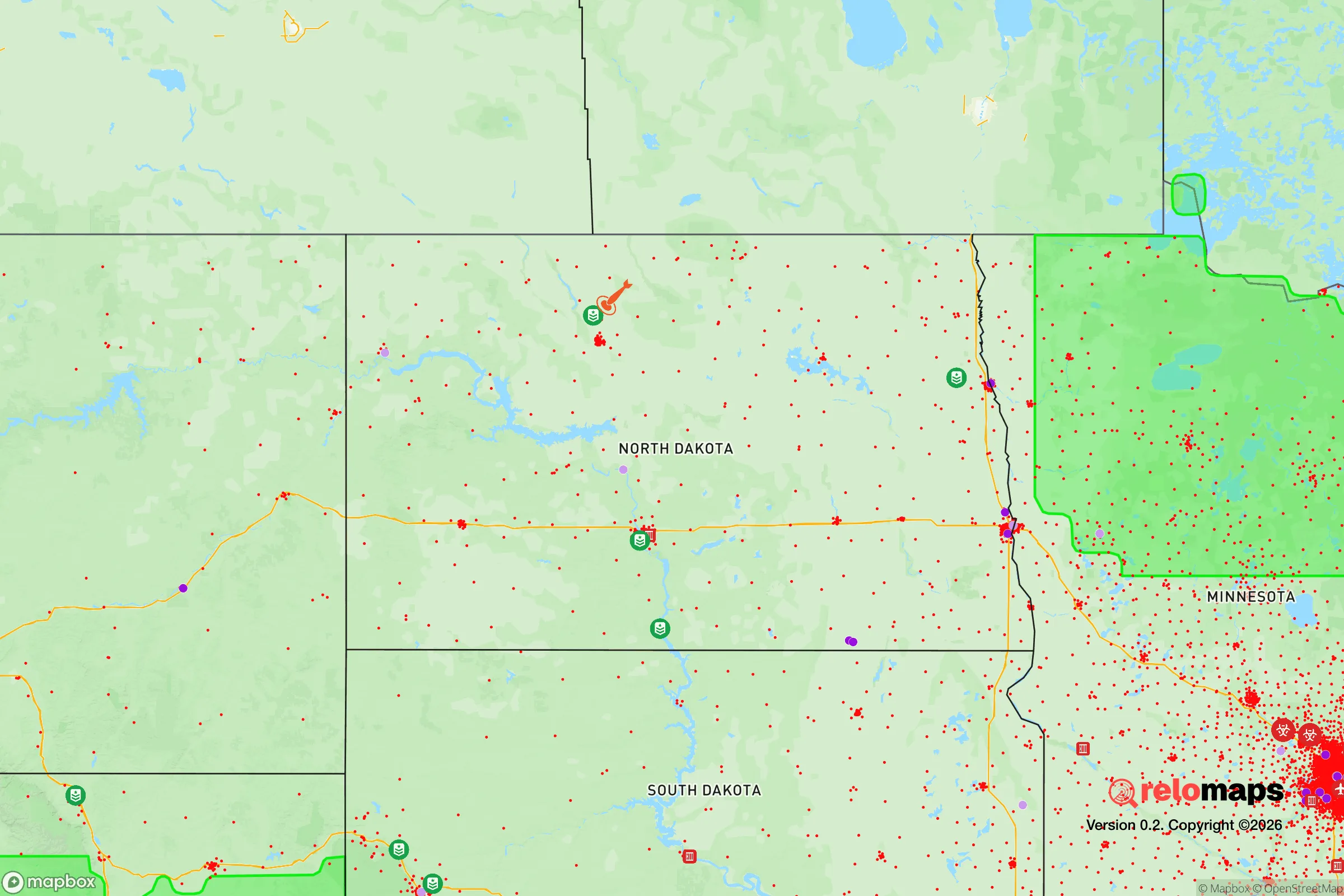
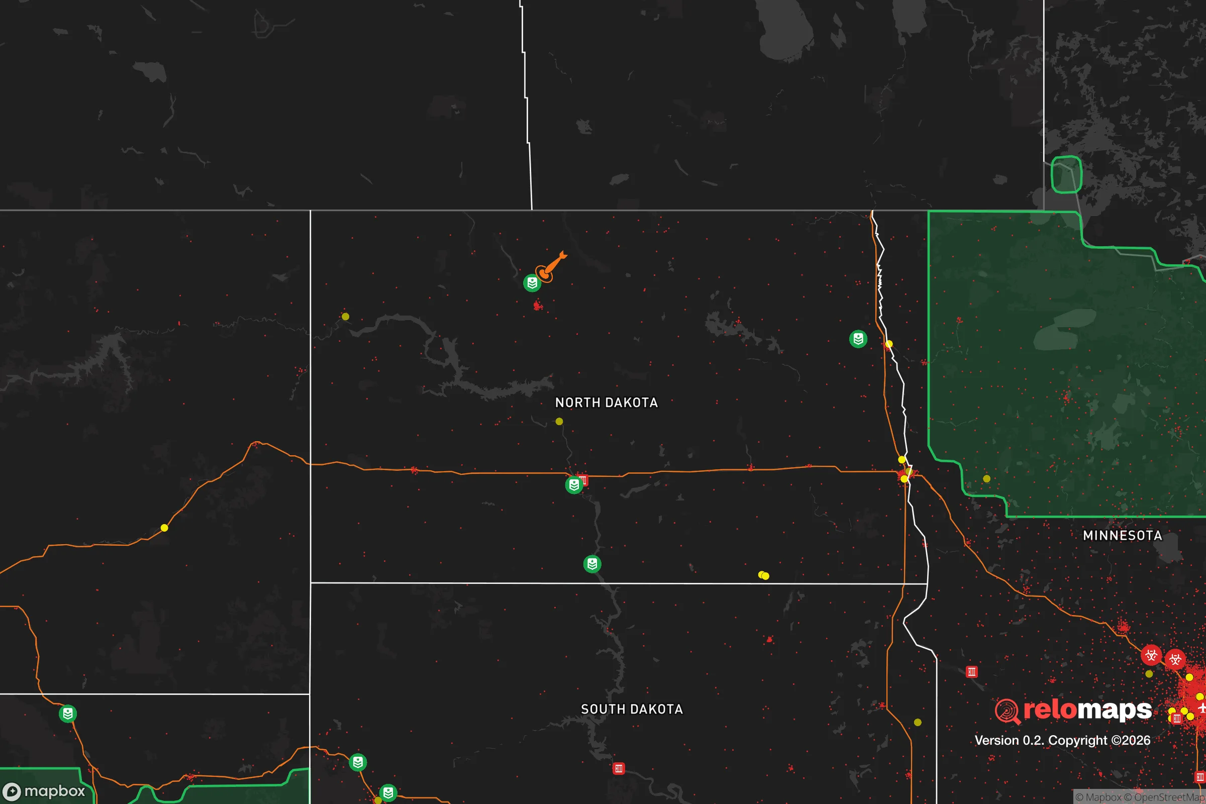
Important Note: For informational purposes only. This does not mean nothing bad ever happens in the green zones. Please use common sense. This is based on public data and modeled with AI. We tried to take a conservative approach but mistakes happen. We update this regularly as new information becomes available.
Solar Generator Recommendations
Backup power matters more here than in safer locations. We've picked three solar generators across budgets and capacity tiers — start with the budget unit if you only need a few essentials, or step up if you want to run a fridge and HVAC for days at a time.

Jackery Portable Power Station Explorer 300
Budget OptionPower on the Go: Weighing only 11 lbs, it's convenient to set up and store with book-sized foldable solar panels

BLUETTI Portable Power Station AC180
Designed for both indoor and outdoor scenarios, AC180 is highly capable as it has a robost capacity and continuous output power.

EF ECOFLOW DELTA Pro Ultra Power Station
Upgraded PickEcoFlow DELTA Pro Ultra is a whole-home energy system designed to grow with your family. Integrated with the Smart Home Panel 2, it scales to meet your evolving energy needs — keeping your home powered, intelligent, and secure through every stage of life.
We earn a commission, at no additional cost to you.
Strategic Assessment Analysis
Grafton, North Dakota, sits in a sweet spot that few relocators fully appreciate: it’s far enough from major population centers to dodge the worst of cascading chaos, yet close enough to essential supply lines and medical infrastructure to avoid true isolation. With a population hovering around 4,000 and a county seat status that brings a steady government presence, this town offers a baseline of services and order that many rural hamlets lack. For someone thinking about long-term resilience—whether from economic collapse, civil unrest, or a major disaster—Grafton’s location in the Red River Valley gives it agricultural self-sufficiency, a low-key demographic profile, and a buffer from the kind of mass casualty events that plague larger metros.
Geographic position and natural advantages for long-term security
Grafton is situated in Walsh County, roughly 30 miles west of the Minnesota border and about 50 miles north of Grand Forks. That distance from Grand Forks—home to an Air Force base and a university population of roughly 15,000—is a deliberate advantage: close enough to access a regional hospital and supply hub if needed, but far enough that a localized event in Grand Forks won’t automatically spill over. The town sits on the Forest River, a tributary of the Red River, which provides a modest but reliable freshwater source. The surrounding landscape is flat, open farmland—wheat, soybeans, sugar beets—which means food production is literally in the backyard. For a prepper, that’s not abstract; it means local growers and co-ops can keep calories flowing when national supply chains hiccup. The climate is harsh—winters average below 10°F in January, with wind chills that can drop to -30°F—but that same severity acts as a natural filter: only people who are serious about staying put will endure it. The population density is about 5 people per square mile in the county, which drastically reduces competition for resources in a crisis scenario.
Risks, exposures, and proximity to fallout-relevant landmarks
No location is risk-free, and Grafton has its share of exposures. The most obvious is the Grand Forks Air Force Base, about 50 miles south—a potential target in a major conflict, though the base’s current mission (drone operations and refueling) makes it a lower-priority target than, say, Minot’s nuclear missile fields. Still, any military installation within 100 miles carries some risk of secondary effects, like ground troop movements or supply route disruptions. The Red River itself is a flood risk; Grafton has seen major floods in 1997 and 2009, and the flat terrain means water can spread quickly. That’s a survivable hazard if you’re prepared with sandbags and a second-story refuge, but it’s worth noting. On the plus side, there are no nuclear power plants, no major chemical facilities, and no interstate highways within 20 miles—meaning the town is off the beaten path for the kind of mass evacuation traffic jams that turn into death traps. The nearest rail line is a minor branch, not a main freight artery, so hazardous material spills are unlikely. For a relocator worried about fallout from a major event, Grafton’s biggest asset is its low profile: it’s not on any strategic target list.
Practical resilience for a relocator: food, water, energy, and defensibility
Food security in Grafton is above average for a town its size. The surrounding agricultural economy means local grocery stores stock basics year-round, and farmers’ markets operate seasonally. For a prepper looking to build a three-month supply, bulk grains and canned goods are easy to source from regional distributors in Grand Forks. Water is the bigger concern: the Forest River is a surface source that requires treatment, and the municipal supply comes from groundwater wells. A private well is the gold standard here—many rural properties already have one, and drilling a new well runs about $5,000–$10,000, a reasonable investment for long-term independence. Energy is a mixed bag. The grid is reliable by rural standards, but winter storms can knock out power for days. Solar panels are viable—the area gets about 200 sunny days per year—but battery storage is essential for the dark winter months. Wood heat is common; firewood is plentiful from local shelterbelts and farm woodlots. Defensibility is where Grafton shines. The town’s layout is compact, with a few main roads and a grid of residential streets. A small group of like-minded neighbors could easily establish checkpoints on the two primary access routes (ND-17 and US-81). The local police force is small—about 8 officers—but the Walsh County Sheriff’s Office provides backup, and the general culture is one of self-reliance and mutual aid. Gun ownership is high, and the state has constitutional carry, so there’s no legal barrier to being armed. For a single individual or a family, the key is to buy property on the outskirts—a few acres with a well and a wood stove—to avoid being trapped in town if things go sideways.
The overall strategic picture for Grafton is one of calculated trade-offs. It’s not a fortress—no place in the lower 48 is—but it offers a rare combination of agricultural abundance, low population density, and distance from high-value targets. The harsh winters are a genuine hardship, but they also discourage the kind of transient population that can destabilize a community during a crisis. For a conservative-leaning relocator who values order, self-sufficiency, and a community that still waves at strangers, Grafton is a solid bet. It won’t make you rich, and it won’t entertain you, but it will keep you fed, warm, and out of the crosshairs when the rest of the country starts to unravel. That’s more than most places can promise.
* Values derived from national, state, county, city and local statistics and may differ in a specific area. Last updated: 2026-04-19T06:43:43.000Z
Narrative content on this page is AI-generated and may contain mistakes. Verify any details that matter before acting on them.
ReloMaps may earn a commission from affiliate links at no extra cost to you.