Photo: Wikipedia
Strategic Assessment of Great Falls, MT
Workable tactical position. Some exposure to population density or targets, but generally defensible in a crisis.
What does the Strategic Assessment tell us?
Our Strategic Assessment grades tactical survivability of an area. Major population centers, military targets, fallout zones, natural disasters, and border exposure all drive risk — lower exposure means a more defensible position in a crisis.
This is heavily inspired by Joel Skousen's Strategic Relocation book. Highly recommended you checkout the book ($)What does this tell us?
Our Strategic Assessment grades tactical survivability of an area. Major population centers, military targets, fallout zones, natural disasters, and border exposure all drive risk — lower exposure means a more defensible position in a crisis.
This is heavily inspired by Joel Skousen's Strategic Relocation book. Highly recommended you checkout the book ($)Strategic Pillars

Key Distances
Regional Safe Places
Below is our recommended "safe zones" in Montana and the surrounding area based on our strategic heuristics. For most people, it's unrealistic to live in a “safe zone” full-time due to work, family or other personal reasons. They tend to be more rural. However, many of these areas are perfect for second homes and retreat properties that double as a vacation home or even a short-term rental.
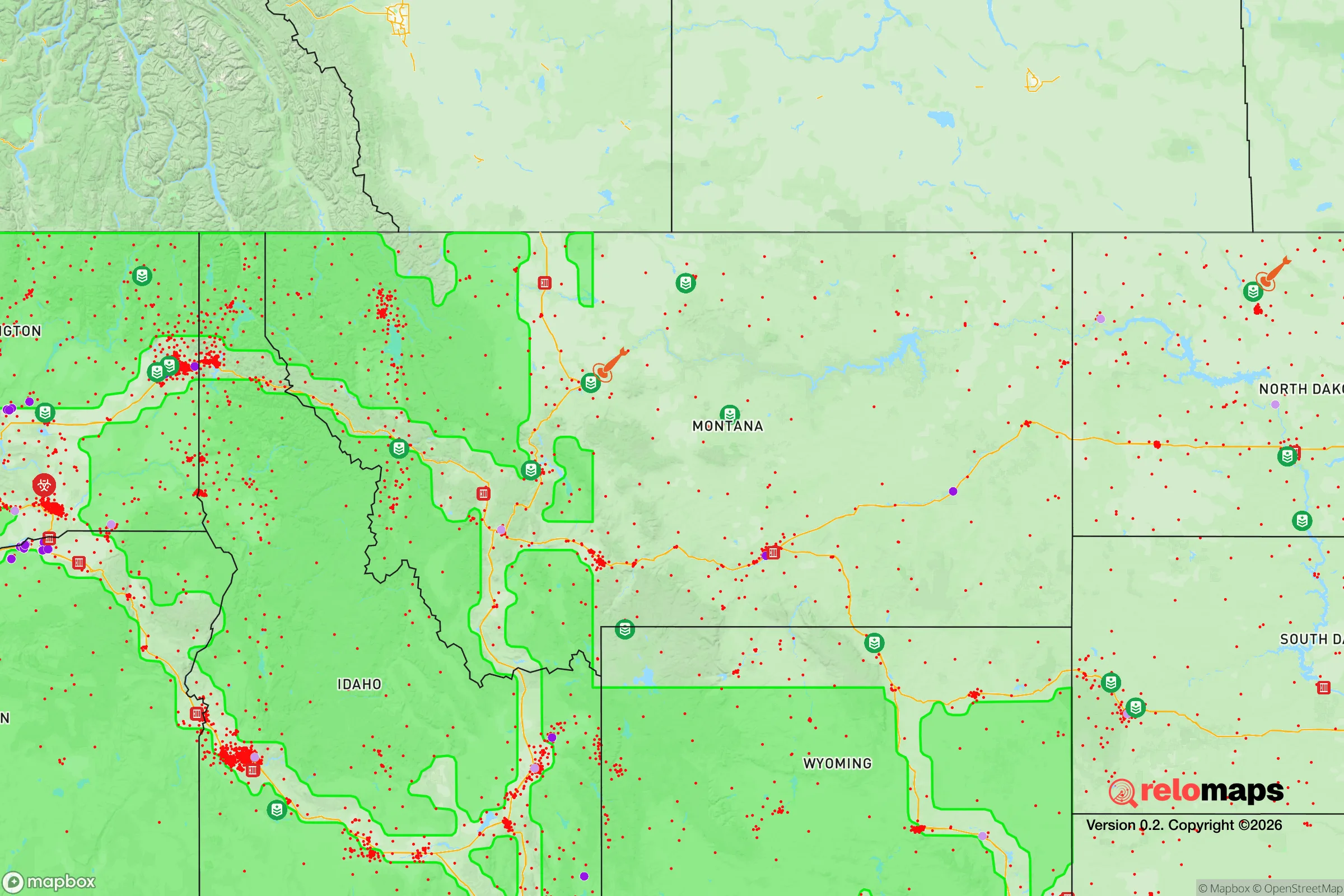

Important Note: For informational purposes only. This does not mean nothing bad ever happens in the green zones. Please use common sense. This is based on public data and modeled with AI. We tried to take a conservative approach but mistakes happen. We update this regularly as new information becomes available.
Solar Generator Recommendations
Backup power matters more here than in safer locations. We've picked three solar generators across budgets and capacity tiers — start with the budget unit if you only need a few essentials, or step up if you want to run a fridge and HVAC for days at a time.

Jackery Portable Power Station Explorer 300
Budget OptionPower on the Go: Weighing only 11 lbs, it's convenient to set up and store with book-sized foldable solar panels

BLUETTI Portable Power Station AC180
Designed for both indoor and outdoor scenarios, AC180 is highly capable as it has a robost capacity and continuous output power.

EF ECOFLOW DELTA Pro Ultra Power Station
Upgraded PickEcoFlow DELTA Pro Ultra is a whole-home energy system designed to grow with your family. Integrated with the Smart Home Panel 2, it scales to meet your evolving energy needs — keeping your home powered, intelligent, and secure through every stage of life.
We earn a commission, at no additional cost to you.
Strategic Assessment Analysis
Great Falls, Montana, offers a compelling strategic position for those prioritizing resilience and long-term preparedness, combining geographic isolation with critical infrastructure that makes it a viable relocation target for conservative-minded individuals and families. Situated along the Missouri River and anchored by Malmstrom Air Force Base, the city provides a rare blend of natural defensibility, access to fresh water, and proximity to essential resources without the vulnerabilities of major metropolitan hubs. For a relocator assessing civic unrest, supply chain disruptions, or large-scale disasters, Great Falls presents a balanced profile of advantages and trade-offs that warrant careful consideration.
Geographic position and natural advantages for long-term security
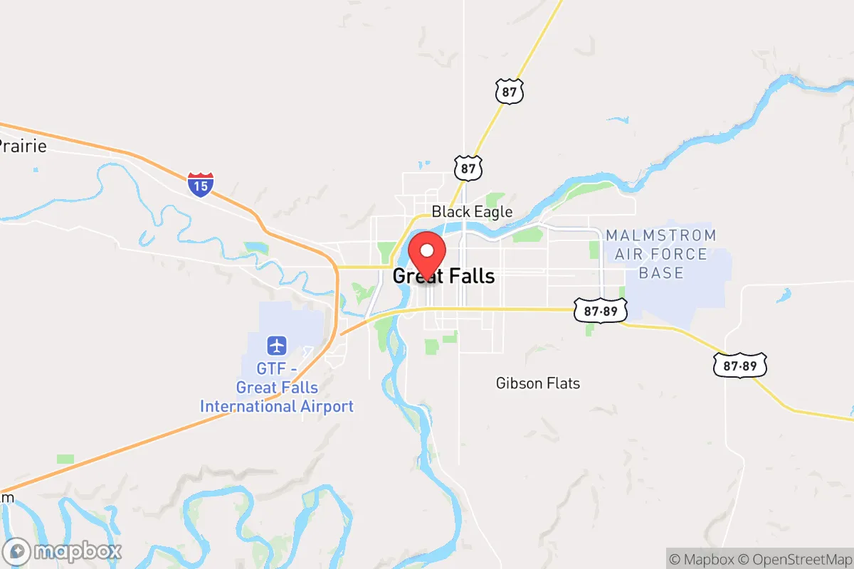
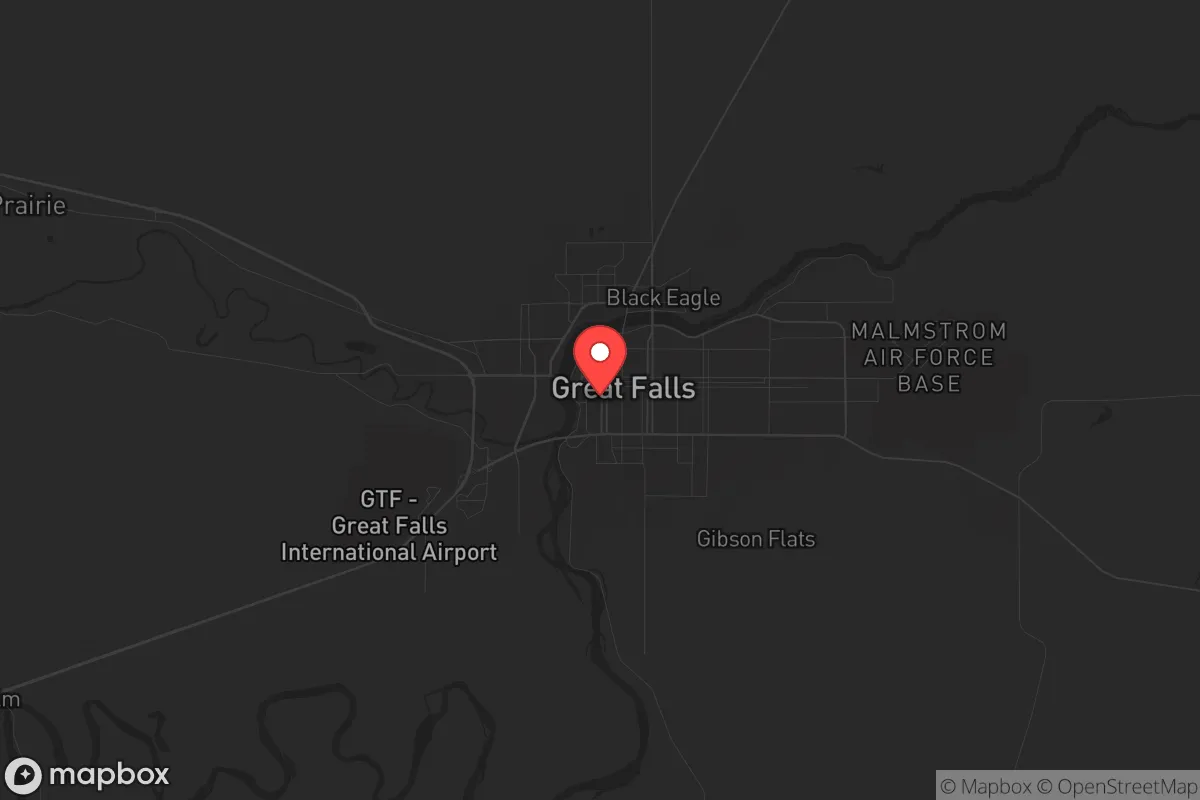
Great Falls sits in north-central Montana, roughly 90 miles from the Canadian border and 120 miles from the Rocky Mountain Front, placing it well outside the immediate fallout zones of major population centers like Seattle, Denver, or Minneapolis. The city’s elevation of 3,330 feet and semi-arid climate reduce risks from flooding, hurricanes, and seismic activity—common threats in coastal or fault-line regions. The Missouri River runs directly through the city, providing a reliable surface water source that can be treated or filtered for drinking, irrigation, and livestock. Surrounding terrain includes the Highwood Mountains to the east and the Little Belt Mountains to the south, offering natural barriers that complicate large-scale movement or surveillance, a factor that matters if civil order degrades. The area’s low population density—about 60,000 residents in the city and 120,000 in Cascade County—means fewer people competing for resources during a crisis, and the vast agricultural land in the region supports local food production without reliance on distant supply chains.
Risks, exposures, and proximity to fallout-relevant landmarks
The most significant strategic liability for Great Falls is its direct association with Malmstrom Air Force Base, a major nuclear missile command center that hosts the 341st Missile Wing, responsible for 150 Minuteman III intercontinental ballistic missiles spread across central Montana. In a nuclear exchange scenario, the base and its missile silos would be primary targets, placing Great Falls within a high-risk zone for ground burst fallout, electromagnetic pulse effects, and potential ground incursions. The city lies roughly 15 miles from the base’s main gate, and while prevailing westerly winds would carry fallout eastward, any near-miss or secondary targeting could contaminate the Missouri River watershed. Additionally, the nearby Black Eagle Dam and Rainbow Dam on the Missouri River are critical infrastructure points that could be targeted for disruption, potentially affecting power and water flow. Beyond nuclear threats, the region faces winter storms that can drop three feet of snow in 24 hours, isolating the city for days—a risk that requires robust heating fuel storage and vehicle preparedness. The area’s distance from major interstates (I-15 runs 40 miles west, I-94 is 100 miles east) means that evacuation or resupply routes are limited, especially during blizzards or if bridges over the Missouri are compromised.
Practical resilience for a relocator: food, water, energy, and defensibility
For a prepper or survivalist household, Great Falls offers several concrete advantages. The Missouri River provides a year-round water source that can be accessed via multiple points along the city’s riverfront parks and private land, though treatment infrastructure (filtration, boiling, or chemical treatment) is essential due to agricultural runoff and upstream industrial activity. The surrounding Golden Triangle region—centered on Great Falls, Conrad, and Shelby—is one of Montana’s most productive wheat, barley, and pulse crop areas, with local farmers markets and bulk grain suppliers that allow for long-term food stockpiling without drawing attention. Hunting and fishing are viable: the Missouri River holds walleye, rainbow trout, and smallmouth bass, while the nearby Lewis and Clark National Forest offers mule deer and elk populations. Energy resilience is moderate—NorthWestern Energy provides grid power, but winter storms cause occasional outages, making solar panels with battery storage or a propane generator a wise investment. Natural gas is available in the city, but rural properties often rely on propane tanks, which require pre-positioning before winter. Defensibility is aided by the city’s layout: the Missouri River splits Great Falls into north and south sections, with limited bridge crossings (10th Avenue Bridge, Central Avenue Bridge, and the 1st Avenue North Bridge) that can be monitored or controlled if needed. The surrounding plains offer long sightlines, reducing ambush risks, but also mean that movement is visible for miles—a trade-off that favors those who stay put rather than bug out. The local gun culture is strong, with multiple firearms dealers and shooting ranges, and Montana’s constitutional carry law (no permit required for concealed carry) aligns with self-reliance values. Medical infrastructure includes Benefis Health System, a regional trauma center with a helipad, but specialized care for radiation exposure or chemical burns would require evacuation to Billings or Salt Lake City, a 3- to 6-hour drive under normal conditions.
The overall strategic picture for Great Falls is one of high reward paired with a specific, non-negotiable risk. For a relocator who accepts the nuclear targeting reality—and who prepares with fallout shelters, potassium iodide, and a plan for post-event relocation eastward—the city offers a rare combination of water abundance, agricultural self-sufficiency, and a community that values independence and firearms proficiency. The conservative cultural climate, with a strong veteran presence and a local economy tied to agriculture and defense, means that like-minded individuals will find social support for preparedness activities without the stigma common in coastal cities. However, the city’s reliance on a single major employer (Malmstrom) and its exposure to winter isolation mean that a relocator must arrive with a multi-year food supply, redundant heating systems, and a vehicle capable of deep snow travel. Great Falls is not a bug-out location for a weekend prepper—it is a long-term homesteading play for those willing to invest in hardening a property and building community ties before the crisis arrives. If you can manage the missile risk and the cold, this is one of the few places in the lower 48 where you can genuinely step away from the grid and the chaos of the coasts, while still having a hospital, a hardware store, and a river within walking distance.
* Values derived from national, state, county, city and local statistics and may differ in a specific area. Last updated: 2026-04-29T20:14:40.000Z
Narrative content on this page is AI-generated and may contain mistakes. Verify any details that matter before acting on them.
ReloMaps may earn a commission from affiliate links at no extra cost to you.