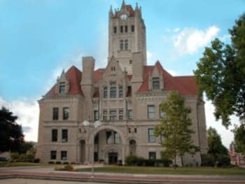
Photo: Wikipedia
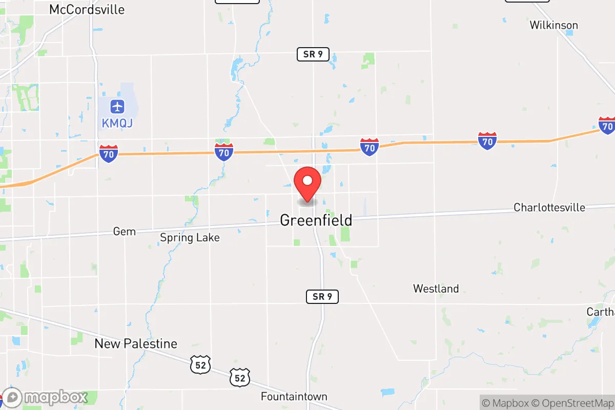
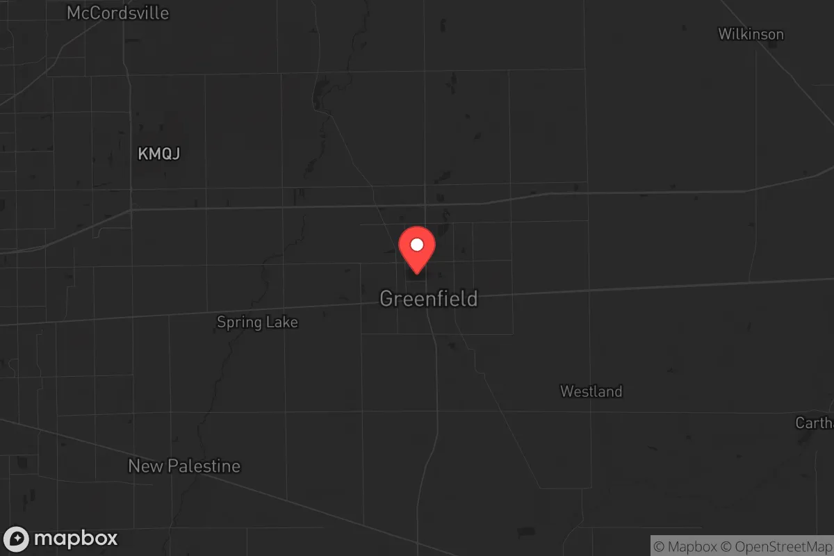
Strategic Assessment of Greenfield, IN
Meaningful friction. Expect exposure to either population pressure, blast zones, or natural disaster risk. Consider buying a retreat property.
What does the Strategic Assessment tell us?
Our Strategic Assessment grades tactical survivability of an area. Major population centers, military targets, fallout zones, natural disasters, and border exposure all drive risk — lower exposure means a more defensible position in a crisis.
This is heavily inspired by Joel Skousen's Strategic Relocation book. Highly recommended you checkout the book ($)What does this tell us?
Our Strategic Assessment grades tactical survivability of an area. Major population centers, military targets, fallout zones, natural disasters, and border exposure all drive risk — lower exposure means a more defensible position in a crisis.
This is heavily inspired by Joel Skousen's Strategic Relocation book. Highly recommended you checkout the book ($)Strategic Pillars

Key Distances
Regional Safe Places
Below is our recommended "safe zones" in Indiana and the surrounding area based on our strategic heuristics. For most people, it's unrealistic to live in a “safe zone” full-time due to work, family or other personal reasons. They tend to be more rural. However, many of these areas are perfect for second homes and retreat properties that double as a vacation home or even a short-term rental.

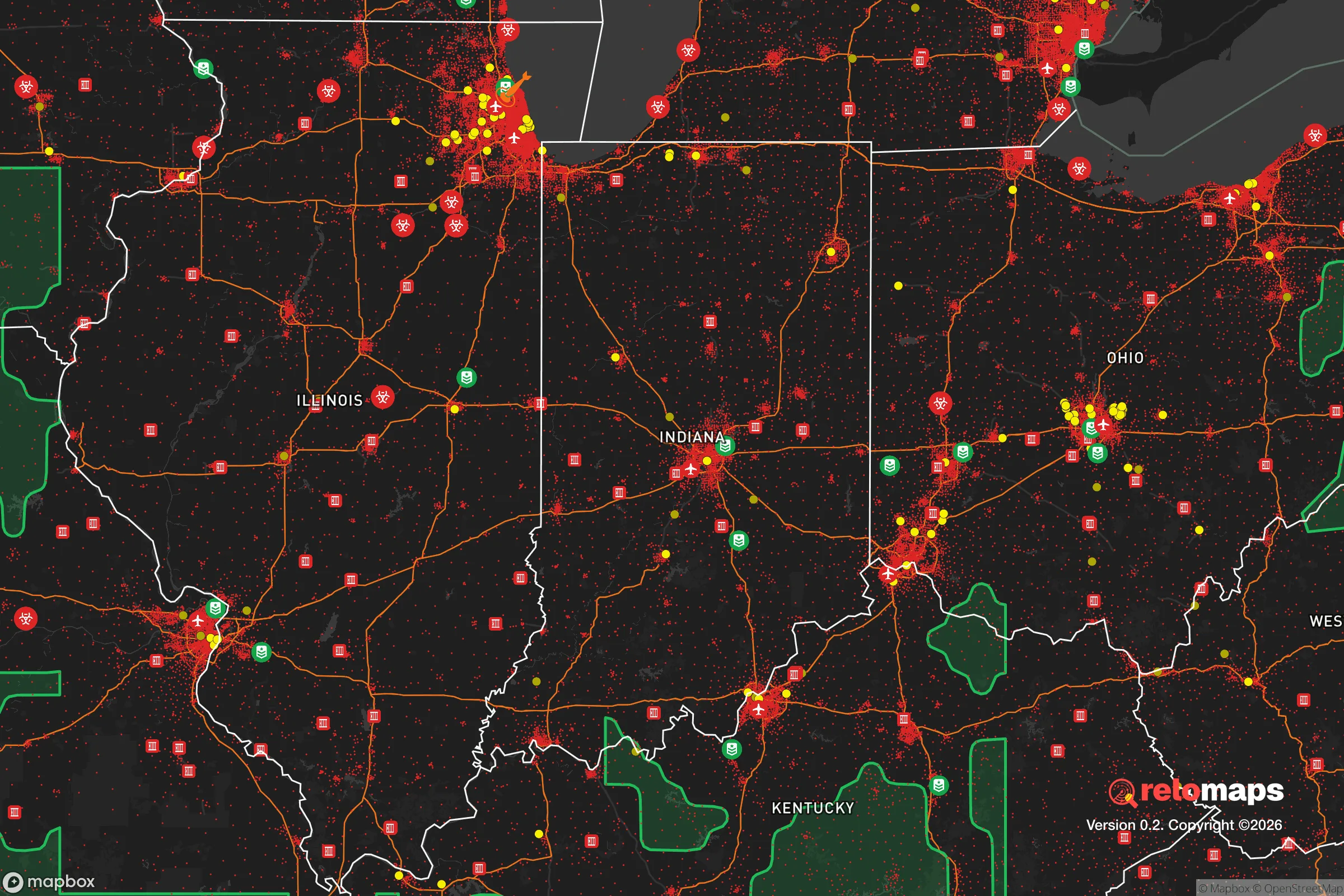
Important Note: For informational purposes only. This does not mean nothing bad ever happens in the green zones. Please use common sense. This is based on public data and modeled with AI. We tried to take a conservative approach but mistakes happen. We update this regularly as new information becomes available.
Solar Generator Recommendations
Backup power matters more here than in safer locations. We've picked three solar generators across budgets and capacity tiers — start with the budget unit if you only need a few essentials, or step up if you want to run a fridge and HVAC for days at a time.

Jackery Portable Power Station Explorer 300
Budget OptionPower on the Go: Weighing only 11 lbs, it's convenient to set up and store with book-sized foldable solar panels

BLUETTI Portable Power Station AC180
Designed for both indoor and outdoor scenarios, AC180 is highly capable as it has a robost capacity and continuous output power.

EF ECOFLOW DELTA Pro Ultra Power Station
Upgraded PickEcoFlow DELTA Pro Ultra is a whole-home energy system designed to grow with your family. Integrated with the Smart Home Panel 2, it scales to meet your evolving energy needs — keeping your home powered, intelligent, and secure through every stage of life.
We earn a commission, at no additional cost to you.
Strategic Assessment Analysis
Greenfield, Indiana, sits in a strategic sweet spot that resilience-minded relocators should take seriously: close enough to Indianapolis to access its infrastructure, yet far enough east to avoid the worst of a major urban collapse. The city’s position along I-70, roughly 25 miles from downtown Indy, gives it a logistical advantage for supply movement and evacuation routes, while its placement in Hancock County—historically agricultural and politically conservative—offers a buffer against the kind of rapid social unraveling seen in denser metro areas. For a single individual or family weighing long-term preparedness, Greenfield presents a credible option for those who want urban proximity without being trapped inside a blast radius or riot zone.
Geographic position and natural advantages for long-term stability
Greenfield’s location on the eastern edge of the Indianapolis metropolitan area places it in a transitional zone between suburban sprawl and rural farmland. The land here is flat to gently rolling, with deep, fertile soils that support small-scale agriculture—a critical asset if supply chains falter. The area sits atop the Mississippian aquifer system, which provides reliable groundwater access at depths of 50 to 150 feet, meaning well drilling is feasible for most properties outside the city limits. The Big Blue River and Sugar Creek run through the county, offering surface water sources that could supplement rainwater catchment. Winters are cold but not extreme, with average January lows around 18°F, and summers are humid but manageable; the growing season runs roughly 170 days, long enough for corn, beans, and most garden vegetables. There are no major fault lines, no hurricane zones, and no wildfire corridors—natural disaster risk here is low compared to coastal or mountain regions. The primary natural threat is the occasional tornado, but Hancock County’s warning systems and basement-friendly soil mitigate that risk for prepared residents.
Risks, exposures, and proximity to fallout-relevant landmarks
The most significant vulnerability for Greenfield is its proximity to Indianapolis, a city of roughly 880,000 people that would become a focal point for civil unrest, resource scarcity, and potential federal intervention during a national crisis. I-70 runs directly through Greenfield, making it a likely evacuation corridor—and a chokepoint if the city collapses. The interstate also connects to the Indianapolis International Airport and the FedEx hub, both of which could be targets for disruption or military lockdown. Within a 50-mile radius, there are several facilities worth noting: the Newport Chemical Depot (about 70 miles west, now largely decommissioned but still monitored), the Indiana Army Ammunition Plant near Charlestown (100 miles south), and the Palisades Nuclear Plant (about 120 miles west in Michigan). None pose an immediate fallout risk to Greenfield, but the cumulative effect of multiple infrastructure nodes within a day’s drive means the area could see refugee flow, supply chain interruptions, or secondary effects from a major event in Indianapolis. The Hancock County Jail and the county courthouse in Greenfield are local government assets that could become targets during civil unrest, though the town’s small size (population ~24,000) makes it less likely to draw large-scale violence. The real risk is being caught between a collapsing urban core and rural areas that may close their borders—Greenfield’s position as a “gateway” town is both an advantage and a liability.
Practical resilience for a relocator: food, water, energy, and defensibility
For a prepper-minded individual or family, Greenfield offers a workable baseline for self-sufficiency, but it requires deliberate investment. The agricultural land surrounding the city means local food production is viable—Hancock County has dozens of small farms, farmers’ markets, and a strong 4-H culture. A relocator with a few acres can raise chickens, goats, or a garden without drawing attention. Water is the bigger concern: municipal water comes from the Indianapolis Water Company’s system, which relies on the White River and Morse Reservoir—both vulnerable to contamination or disruption. A well is the smart move here, and drilling costs in central Indiana run about $15–$30 per foot, with typical depths of 100–200 feet for a reliable domestic supply. Rainwater collection is legal and practical, with average annual precipitation of 40 inches. For energy, the grid is served by Duke Energy and Hancock County REMC, both of which have average reliability but are subject to the same vulnerabilities as any Midwest grid. Solar is viable—central Indiana gets about 4.5 peak sun hours per day—and battery storage is recommended for off-grid capability. Natural gas is available in town, but propane tanks are common in rural areas and offer a more resilient backup. Defensibility is moderate: Greenfield’s layout is a traditional small town with a compact downtown and residential neighborhoods that offer good sightlines and limited entry points. The surrounding farmland provides open fields that make approach detection easier, but also means there’s little natural cover. A relocator should prioritize a property with a basement (common here) and a perimeter that can be secured without looking like a fortress. The local sheriff’s office is well-funded and responsive, but in a prolonged crisis, self-reliance will be the deciding factor.
The overall strategic picture for Greenfield is one of cautious optimism for the prepared relocator. It avoids the worst exposures of deep rural isolation—no hours-long drive to a hospital or supply run—while sidestepping the density and target value of Indianapolis itself. The community is politically and culturally aligned with conservative values, which in a crisis translates to stronger neighbor networks and less friction over resource sharing. The downsides are real: the I-70 corridor is a double-edged sword, and the city’s growth (population up 12% since 2010) means it’s attracting more people who may not share a preparedness mindset. For a single individual or family willing to invest in a well, solar, and a defensible property on the county’s eastern edge, Greenfield offers a solid foundation for riding out the next decade’s uncertainties without disappearing into the wilderness. It’s not a bug-out location—it’s a live-in location with a plan B built into the geography.
* Values derived from national, state, county, city and local statistics and may differ in a specific area. Last updated: 2026-04-22T10:28:11.000Z
Narrative content on this page is AI-generated and may contain mistakes. Verify any details that matter before acting on them.
ReloMaps may earn a commission from affiliate links at no extra cost to you.