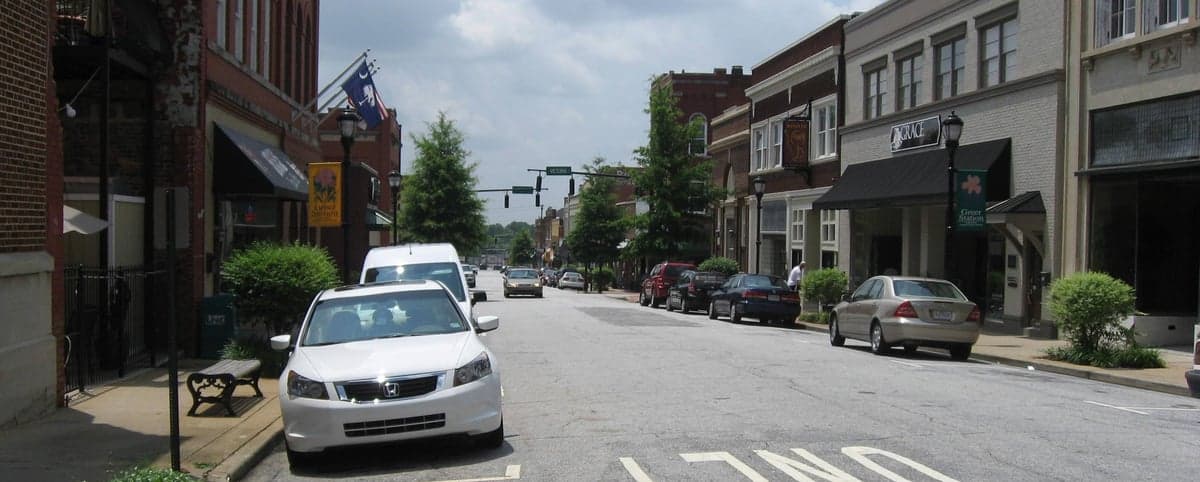
Photo: Wikipedia
Demographics of Greer, SC
Affluence Level in Greer, SC
A middle-class area roughly in line with national averages across income, home values, education, and employment.
People of Greer, SC
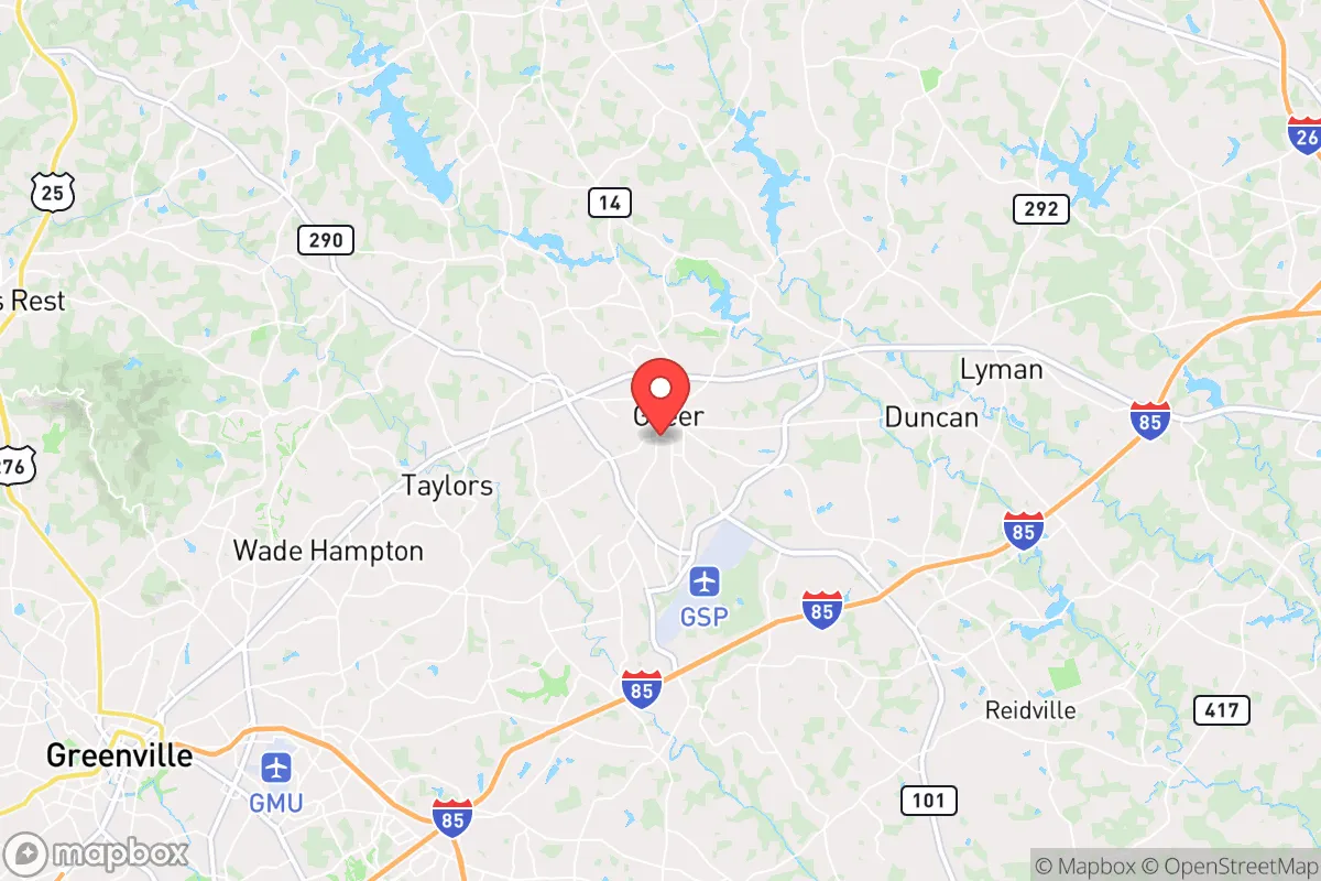
The people of Greer, South Carolina today number roughly 39,200, forming a city that is majority-white (59.0%) but notably diverse for the Upstate, with a Hispanic population of 15.5%, a Black population of 16.4%, and a combined Indian-subcontinent (4.1%) and East/Southeast Asian (2.0%) presence that reflects recent professional migration. The city’s identity is shaped by its rapid transformation from a textile mill town into a manufacturing and logistics hub anchored by the BMW plant and the Inland Port Greer. This is a community where longtime Southern families, first-generation Hispanic workers, and Indian and Asian engineers and managers live in largely separate neighborhoods, creating a patchwork of distinct enclaves rather than a fully integrated whole.
How the city was settled and grew
Greer’s original population was drawn by the railroad and the cotton textile boom of the late 19th and early 20th centuries. The city was incorporated in 1876 as a stop on the Atlanta and Charlotte Air Line Railway, and the first major wave of settlers were white farmers and merchants from the surrounding Piedmont. The textile mills that followed—most notably the Greer Mill (opened 1901) and the Victor Mill (opened 1911)—created company towns that attracted white families from the rural upcountry and, separately, Black families who were hired for lower-skill roles and housed in segregated mill villages. The Victor Mill Village, now a historic district, was built for white mill workers and remains a predominantly white, older neighborhood. The Greer Mill Village similarly housed white operatives. Black workers and their families settled in the East Greer area, along and around East Poinsett Street, which became the historic core of the city’s Black community. By the 1920s, Greer’s population was roughly 80% white and 20% Black, a ratio that held through the mid-20th century as the mills dominated the local economy.
Modern era (post-1965)
The Immigration and Nationality Act of 1965 had little immediate effect on Greer, but the city’s demographic transformation began in earnest with the opening of the BMW manufacturing plant in 1994. This single event reshaped the population. The plant and its supplier network drew a wave of German and other European expatriate managers, but more significantly, it triggered a domestic in-migration of white professionals from the Northeast and Midwest, who settled in new subdivisions like Pelham Falls and Chandler Pointe in the western and southern parts of the city. Simultaneously, the construction boom and service economy attracted a large Hispanic workforce, primarily from Mexico and Central America, who moved into older, more affordable housing stock in the Greer Station area and along the Wade Hampton Boulevard corridor. The Hispanic share of the population rose from under 2% in 1990 to 15.5% by 2024. The Black population, which had been stable at around 20% through the 1980s, declined slightly to 16.4% as some families moved to newer suburbs, but the historic East Greer neighborhood remains a Black-majority area. The most striking recent shift is the arrival of Indian-subcontinent professionals—engineers, IT workers, and managers—who now make up 4.1% of the population, concentrated in newer, higher-end subdivisions such as River Oaks and Thornblade (the latter technically in unincorporated Greenville County but serving as a de facto Greer address). East/Southeast Asian communities (2.0%) are smaller and more dispersed, with no single dominant enclave.
The future
Greer’s population is trending toward greater diversity but also greater spatial sorting by income and ethnicity. The Hispanic population is growing steadily, driven by both births and continued migration for construction and logistics jobs, and is likely to reach 20-22% within a decade. The Indian-subcontinent population is also growing, as the Upstate’s tech and manufacturing sectors continue to recruit skilled workers, and this group is likely to double its share to 8-10% by 2035. The white population, while still a majority, is aging and declining as a share, with younger white families increasingly choosing newer exurban developments farther from the city core. The Black population is stable but not growing, as younger Black residents tend to move to Greenville or Spartanburg for more urban amenities. The city is not homogenizing; rather, it is tribalizing into distinct enclaves: East Greer remains Black-majority, Greer Station and the Wade Hampton corridor are Hispanic-majority, Pelham Falls and Chandler Pointe are white-majority, and River Oaks and Thornblade are becoming Indian-majority. This pattern is likely to persist, as housing prices and school catchment zones reinforce the boundaries.
For someone moving to Greer now, the city offers a clear choice: you can live in a neighborhood that reflects your own background or one that is more mixed, but the overall trend is toward demographic segmentation by income and ethnicity. The city’s character is that of a fast-growing, economically dynamic place where the old textile-mill social order has been replaced by a newer, more fragmented one shaped by global manufacturing and logistics. It is not a melting pot, but a mosaic of distinct communities living side by side.
* Values derived from national, state, county, city and local statistics and may differ in a specific area. Last updated: 2026-04-29T19:26:42.000Z
Narrative content on this page is AI-generated and may contain mistakes. Verify any details that matter before acting on them.
ReloMaps may earn a commission from affiliate links at no extra cost to you.