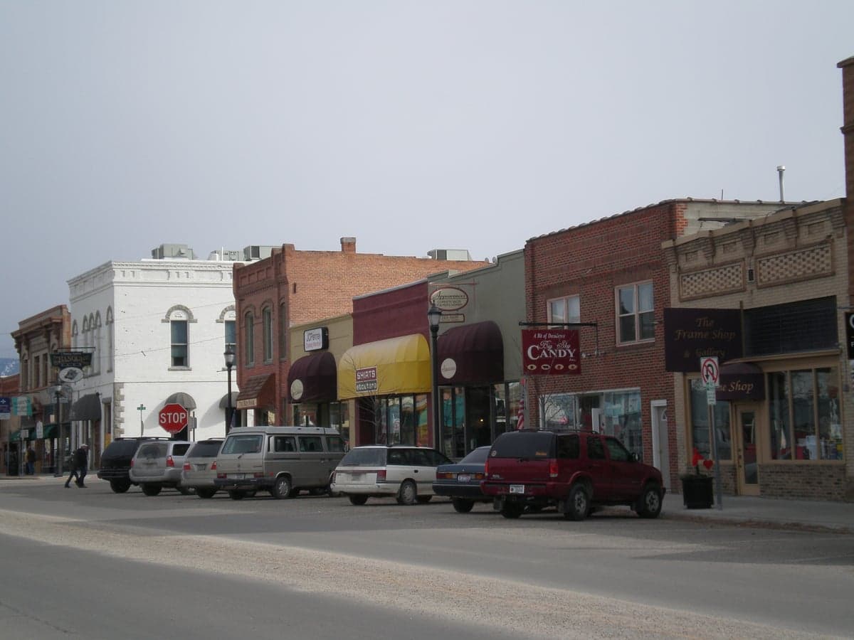
Photo: Wikipedia
Strategic Assessment of Hamilton, MT
Workable tactical position. Some exposure to population density or targets, but generally defensible in a crisis.
What does the Strategic Assessment tell us?
Our Strategic Assessment grades tactical survivability of an area. Major population centers, military targets, fallout zones, natural disasters, and border exposure all drive risk — lower exposure means a more defensible position in a crisis.
This is heavily inspired by Joel Skousen's Strategic Relocation book. Highly recommended you checkout the book ($)What does this tell us?
Our Strategic Assessment grades tactical survivability of an area. Major population centers, military targets, fallout zones, natural disasters, and border exposure all drive risk — lower exposure means a more defensible position in a crisis.
This is heavily inspired by Joel Skousen's Strategic Relocation book. Highly recommended you checkout the book ($)Strategic Pillars

Key Distances
Regional Safe Places
Below is our recommended "safe zones" in Montana and the surrounding area based on our strategic heuristics. For most people, it's unrealistic to live in a “safe zone” full-time due to work, family or other personal reasons. They tend to be more rural. However, many of these areas are perfect for second homes and retreat properties that double as a vacation home or even a short-term rental.
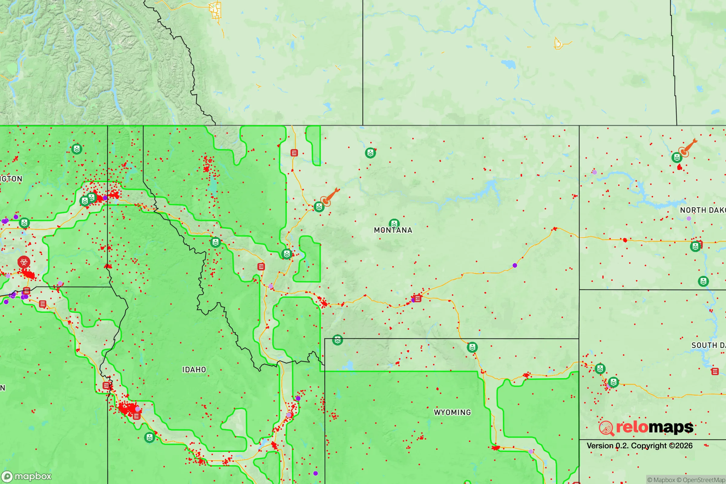

Important Note: For informational purposes only. This does not mean nothing bad ever happens in the green zones. Please use common sense. This is based on public data and modeled with AI. We tried to take a conservative approach but mistakes happen. We update this regularly as new information becomes available.
Solar Generator Recommendations
Backup power matters more here than in safer locations. We've picked three solar generators across budgets and capacity tiers — start with the budget unit if you only need a few essentials, or step up if you want to run a fridge and HVAC for days at a time.

Jackery Portable Power Station Explorer 300
Budget OptionPower on the Go: Weighing only 11 lbs, it's convenient to set up and store with book-sized foldable solar panels

BLUETTI Portable Power Station AC180
Designed for both indoor and outdoor scenarios, AC180 is highly capable as it has a robost capacity and continuous output power.

EF ECOFLOW DELTA Pro Ultra Power Station
Upgraded PickEcoFlow DELTA Pro Ultra is a whole-home energy system designed to grow with your family. Integrated with the Smart Home Panel 2, it scales to meet your evolving energy needs — keeping your home powered, intelligent, and secure through every stage of life.
We earn a commission, at no additional cost to you.
Strategic Assessment Analysis
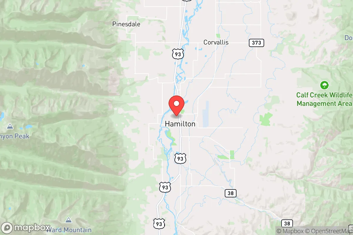
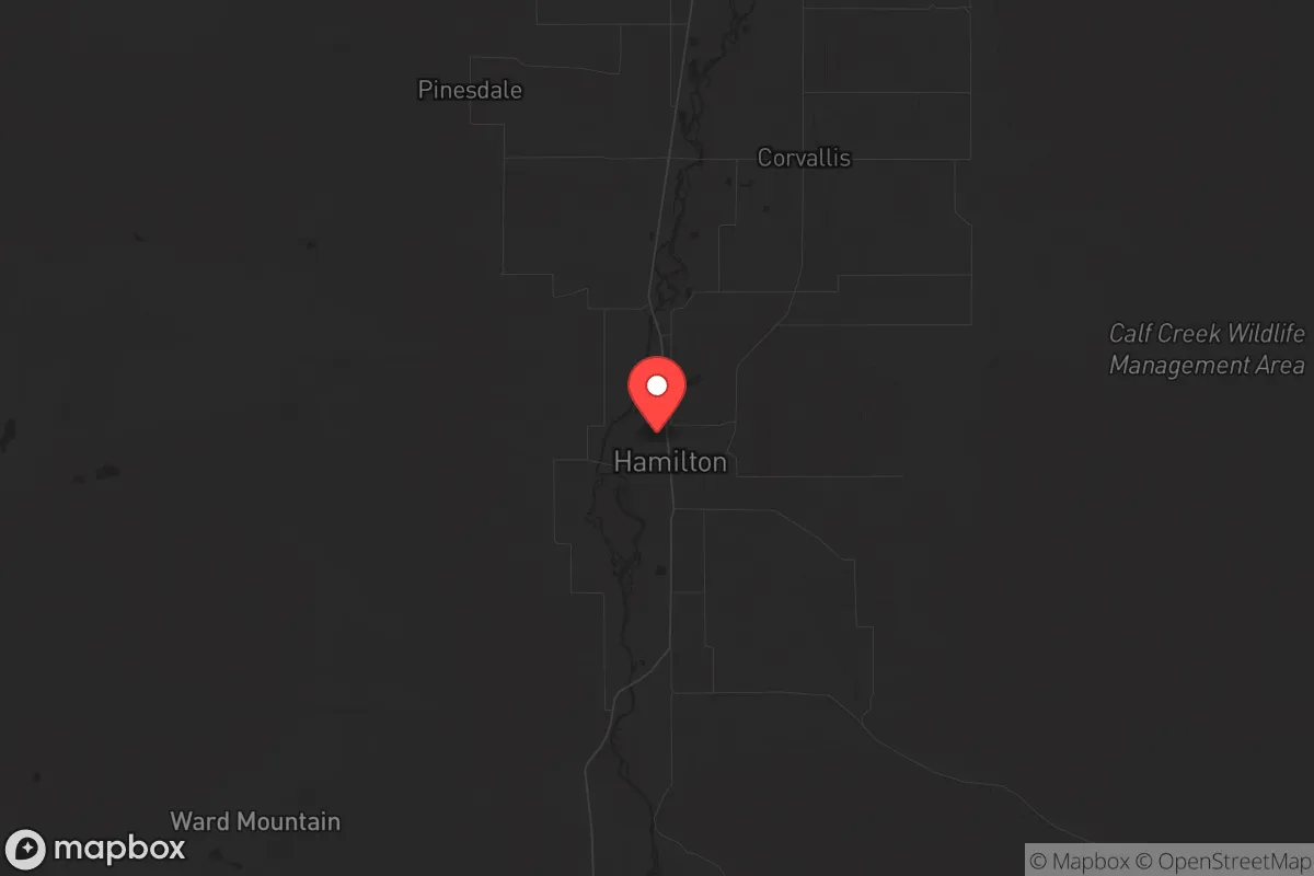
Hamilton, Montana, offers a compelling mix of remote resilience and practical access that makes it a serious contender for those prioritizing long-term preparedness and strategic relocation. Nestled in the Bitterroot Valley, this town of roughly 5,000 people sits about 45 miles south of Missoula, far enough from major urban centers to avoid the worst of civic unrest or mass casualty events, yet close enough to access critical supplies and medical care if needed. The area’s natural defenses—mountain ranges to the east and west, a single primary highway (U.S. 93) running north-south—create a funnel effect that limits unwanted traffic and enhances defensibility. For a conservative-leaning individual or family focused on weathering national instability, Hamilton’s combination of low population density, strong community ties, and proximity to public lands makes it a standout location in the northern Rockies.
Geographic position and natural advantages for long-term security
Hamilton’s location in the Bitterroot Valley is a strategic asset. The valley is flanked by the Bitterroot Mountains to the west and the Sapphire Mountains to the east, creating a natural corridor that is both isolated and accessible. This geography provides a buffer against the chaos of larger cities—Missoula’s population of about 75,000 is the nearest urban center, but the 45-mile drive along U.S. 93 can be easily monitored or blocked if necessary. The valley’s elevation (around 3,600 feet) and climate offer a four-season environment that supports sustainable living, with ample water from the Bitterroot River and numerous creeks. The surrounding national forests—Bitterroot National Forest and the Selway-Bitterroot Wilderness—provide vast areas for hunting, foraging, and retreat if conditions deteriorate. For a prepper, this means you’re not boxed in; you have multiple escape routes into rugged terrain, and the local population is sparse enough that resource competition would be manageable in a crisis. The area’s agricultural base, including hay fields and cattle ranches, also means local food production is a reality, not just a theory.
Risks, exposures, and proximity to fallout-relevant landmarks
No location is without vulnerabilities, and Hamilton has specific exposures that a strategic relocator must weigh. The most significant risk is its proximity to Missoula, which, while not a major metropolis, is a regional hub with a university, a hospital, and a transportation corridor (Interstate 90). In a scenario of mass civil unrest or a national emergency, Missoula could become a chokepoint for refugees fleeing the larger cities of the Pacific Northwest—Seattle, Portland, and Spokane are all within a 4-6 hour drive. U.S. 93 is the only paved route into Hamilton from the north, and it could become a funnel for desperate populations. Additionally, the Bitterroot Valley sits within the broader region of the Rocky Mountain Front, which has some military and government infrastructure—Malmstrom Air Force Base in Great Falls (about 200 miles northeast) is a nuclear missile field, and while Hamilton is far enough to avoid direct blast effects, any nuclear exchange could bring fallout depending on wind patterns. The area also has a history of wildfires, with the 2000 Bitterroot Fire and 2017 Lolo Peak Fire demonstrating that the valley’s dry summers and dense forests create a real threat. For a prepper, these risks mean you need a solid plan for evacuation or shelter-in-place, including a well-stocked bug-out location in the mountains and a reliable water filtration system for fire-related contamination.
Practical resilience for a relocator: food, water, energy, and defensibility
Hamilton’s practical resilience is strong but requires upfront investment. The Bitterroot River and its tributaries provide abundant surface water, but you’ll need a well or a reliable filtration system—municipal water comes from the river and is treated, but in a grid-down scenario, you’ll want your own source. The local climate supports gardening from May to September, with a short but productive growing season for cold-hardy crops like potatoes, carrots, and kale. The area’s agricultural community means you can buy direct from ranchers for meat and dairy, and the Hamilton Farmers Market (running May through October) is a solid resource for networking with local producers. Energy-wise, the valley has good solar potential—about 200 sunny days per year—but winter cloud cover can reduce output, so a backup generator or wind turbine is wise. The town itself has a small but functional hospital (Marcus Daly Memorial Hospital) and a decent supply of hardware stores, but for major medical or specialized gear, you’ll need to go to Missoula. Defensibility is a mixed bag: your home’s location matters. Properties on the valley floor are more exposed, while those tucked into the foothills offer better vantage points and natural barriers. The local culture is heavily conservative, with a strong gun-ownership ethic and a “live and let live” attitude that aligns with prepper values. Neighbors are generally self-reliant and suspicious of government overreach, which means you’ll find allies rather than liabilities in a crisis. However, the area’s popularity among out-of-state relocators (especially from California and the Pacific Northwest) has driven up real estate prices—expect to pay $400,000 to $700,000 for a modest home on a few acres, and more for land with water rights.
Overall, Hamilton presents a balanced strategic picture for the conservative prepper. It’s not a hardened bunker—it’s a real town with real vulnerabilities, including wildfire risk, a single road in, and proximity to a regional city that could become a pressure point. But its natural defenses, strong community ethos, and access to water and agricultural land make it one of the better options in the northern Rockies for those who want to be prepared without going completely off-grid. The key is to act now: secure a property with a reliable water source, build relationships with local ranchers and like-minded neighbors, and have a plan for both sheltering in place and bugging out into the surrounding wilderness. If you’re serious about long-term resilience, Hamilton is worth a hard look—just don’t expect it to stay a secret much longer.
* Values derived from national, state, county, city and local statistics and may differ in a specific area. Last updated: 2026-04-30T02:58:11.000Z
Narrative content on this page is AI-generated and may contain mistakes. Verify any details that matter before acting on them.
ReloMaps may earn a commission from affiliate links at no extra cost to you.