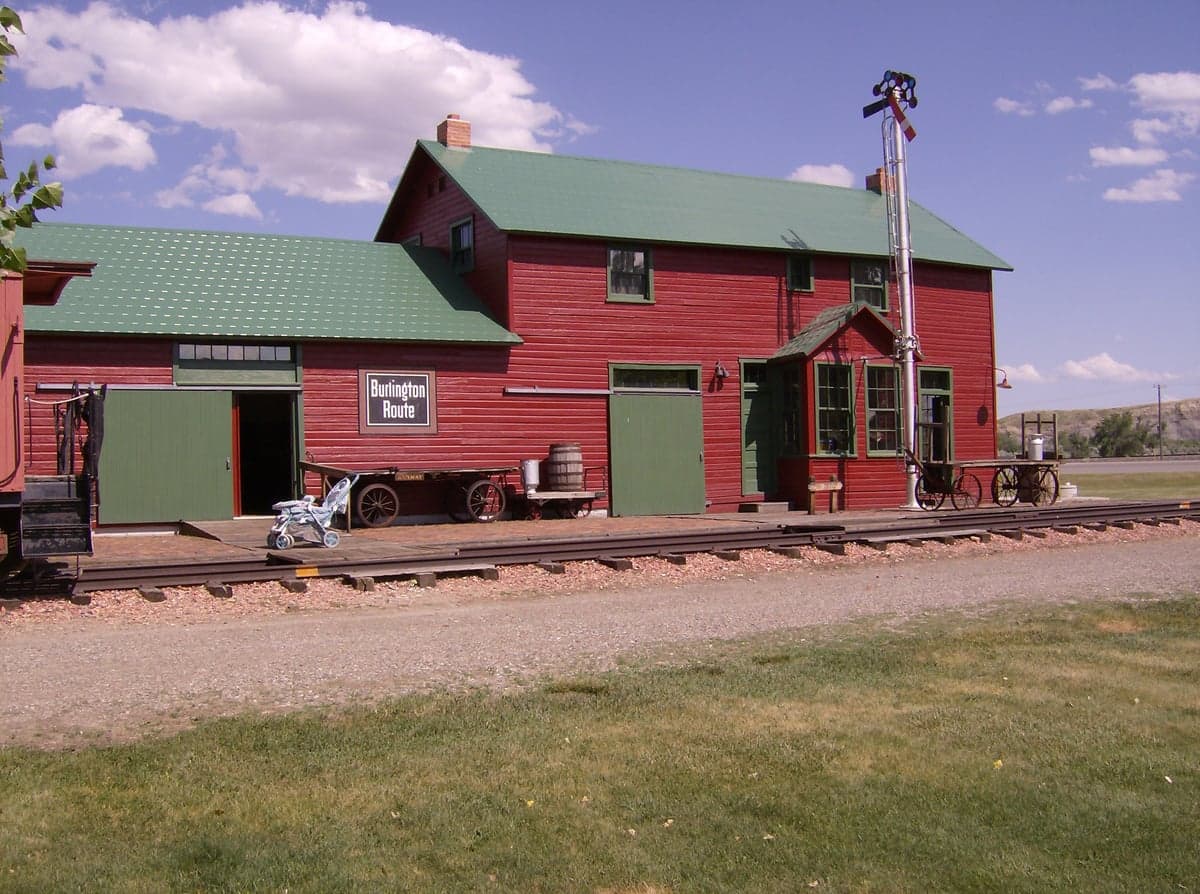
Photo: Wikipedia
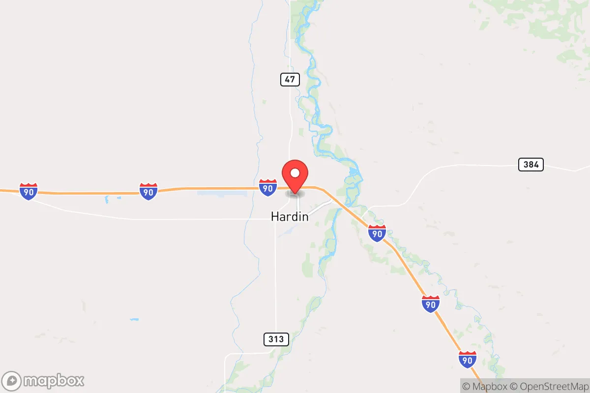
Strategic Assessment of Hardin, MT
Workable tactical position. Some exposure to population density or targets, but generally defensible in a crisis.
What does the Strategic Assessment tell us?
Our Strategic Assessment grades tactical survivability of an area. Major population centers, military targets, fallout zones, natural disasters, and border exposure all drive risk — lower exposure means a more defensible position in a crisis.
This is heavily inspired by Joel Skousen's Strategic Relocation book. Highly recommended you checkout the book ($)What does this tell us?
Our Strategic Assessment grades tactical survivability of an area. Major population centers, military targets, fallout zones, natural disasters, and border exposure all drive risk — lower exposure means a more defensible position in a crisis.
This is heavily inspired by Joel Skousen's Strategic Relocation book. Highly recommended you checkout the book ($)Strategic Pillars

Key Distances
Regional Safe Places
Below is our recommended "safe zones" in Montana and the surrounding area based on our strategic heuristics. For most people, it's unrealistic to live in a “safe zone” full-time due to work, family or other personal reasons. They tend to be more rural. However, many of these areas are perfect for second homes and retreat properties that double as a vacation home or even a short-term rental.
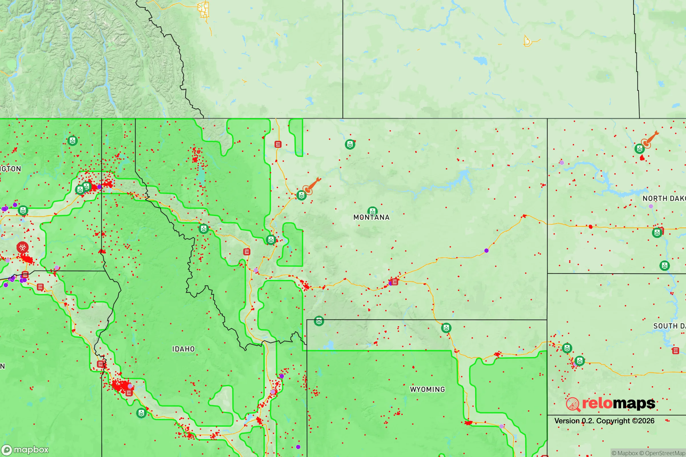

Important Note: For informational purposes only. This does not mean nothing bad ever happens in the green zones. Please use common sense. This is based on public data and modeled with AI. We tried to take a conservative approach but mistakes happen. We update this regularly as new information becomes available.
Solar Generator Recommendations
Backup power matters more here than in safer locations. We've picked three solar generators across budgets and capacity tiers — start with the budget unit if you only need a few essentials, or step up if you want to run a fridge and HVAC for days at a time.

Jackery Portable Power Station Explorer 300
Budget OptionPower on the Go: Weighing only 11 lbs, it's convenient to set up and store with book-sized foldable solar panels

BLUETTI Portable Power Station AC180
Designed for both indoor and outdoor scenarios, AC180 is highly capable as it has a robost capacity and continuous output power.

EF ECOFLOW DELTA Pro Ultra Power Station
Upgraded PickEcoFlow DELTA Pro Ultra is a whole-home energy system designed to grow with your family. Integrated with the Smart Home Panel 2, it scales to meet your evolving energy needs — keeping your home powered, intelligent, and secure through every stage of life.
We earn a commission, at no additional cost to you.
Strategic Assessment Analysis
Hardin, Montana, sits as a quiet, overlooked node in the northern plains, offering a combination of geographic isolation and logistical access that makes it a serious candidate for those prioritizing long-term resilience. Located on the banks of the Bighorn River in Big Horn County, roughly 45 miles east of Billings, Hardin is far enough from major population centers to avoid the immediate chaos of a collapse event, yet close enough to access critical supplies and medical infrastructure if needed. The town’s population hovers around 3,800, with the county’s total at roughly 12,000, meaning you’re not dealing with the anonymity or resource strain of a city, but you’re also not completely alone—there’s a local community that knows its neighbors. For a relocator with a prepper mindset, Hardin’s real value lies in its position as a secondary hub: it’s the county seat, home to a small hospital, and sits along Interstate 90, a major east-west corridor that can be used for resupply or evacuation, but which also becomes a liability if that highway turns into a refugee route.
Geographic position and natural advantages for long-term survival
Hardin’s geography is its strongest card. The town sits in the Bighorn River Valley, with the river providing a reliable surface water source that doesn’t depend on municipal infrastructure. The surrounding terrain is a mix of irrigated farmland, rolling prairie, and the foothills of the Bighorn Mountains to the south. This isn’t the arid, barren high desert you see further west—this area gets enough precipitation to support dryland farming and grazing, which means a relocator with land can realistically produce food. The Bighorn Canyon National Recreation Area and the Crow Indian Reservation border the town to the south and east, creating a buffer of sparsely populated land that’s hard to traverse quickly. That’s a defensive advantage: any large-scale movement of people from Billings or the Front Range would likely follow I-90 or the railroad, not cut across reservation land or canyon country. The elevation here is about 3,100 feet, which gives a four-season climate with cold winters that naturally discourage transient populations. Snowfall averages around 40 inches per year, enough to create a water reserve in the spring melt, but not so extreme that it makes life untenable without heavy equipment. For a prepper, this is a sweet spot—harsh enough to filter out the unprepared, but livable with basic winter preparedness.
Risks, exposures, and proximity to fallout-relevant landmarks
No location is a fortress, and Hardin has specific vulnerabilities that a strategic relocator must weigh. The most obvious risk is its proximity to Billings, which at 45 miles is close enough that a major disaster—civil unrest, a pandemic wave, or a supply chain collapse—could send refugees east along I-90. Billings is a regional hub with a refinery, a major medical center, and an airport, making it a likely target for any coordinated attack or a focal point for post-collapse violence. Hardin itself has no major military or industrial targets, but the Burlington Northern Santa Fe railroad runs through town, carrying freight that could include hazardous materials or become a target for sabotage. The Crow Reservation’s status as sovereign land adds a layer of legal and social complexity—if things go sideways, you’re dealing with a separate jurisdiction with its own law enforcement and resource claims. On the plus side, there are no nuclear power plants within 200 miles, no major military bases within 150 miles, and no large-scale chemical facilities. The nearest fallout-relevant site is the Malmstrom Air Force Base near Great Falls, about 250 miles northwest, which is a Minuteman III missile field—a potential target in a full-scale conflict, but far enough that Hardin would only see residual fallout if prevailing winds were wrong. The real risk here is not a direct strike, but the secondary effects of a national crisis: supply lines drying up, the hospital being overwhelmed, and the town becoming a choke point for traffic on I-90.
Practical resilience for a relocator: food, water, energy, and defensibility
For a relocator looking to set up a self-sufficient property, Hardin offers a realistic baseline. The Bighorn River is the primary water source, and while municipal water is treated, a well drilled into the alluvial aquifer is a better bet for independence—depths here are typically 50 to 150 feet, and water quality is good, with no widespread contamination issues reported. The growing season is short, about 120 days, but the soil in the river valley is fertile silt-loam, capable of producing corn, alfalfa, beans, and vegetables with irrigation. Local farmers raise cattle and sheep, so a relocator with a few acres can integrate livestock without needing to import feed from outside the region. Energy is a mixed bag: the grid is served by Northwestern Energy, which relies on coal and hydro from the Yellowstone River basin, but outages are common in winter storms. Solar is viable—the area gets about 220 sunny days per year—but you’ll need battery storage for the long, dark winter months. Wind is a constant here, and small-scale turbines can supplement solar, but they require maintenance that’s hard to do without a machine shop. Defensibility is where Hardin shines: the town is laid out on a grid, with the river to the south and open farmland to the north and west. A property on the outskirts, with a clear line of sight to the main roads, gives you days of warning before anyone approaches. The local sheriff’s office is small—about 15 deputies for the whole county—so in a crisis, you’re largely on your own. That’s not a bug; it’s a feature for those who prefer to rely on their own capabilities rather than waiting for a response that may never come.
The overall strategic picture for Hardin is one of calculated trade-offs. It’s not a bug-out location in the remote wilderness sense—you can’t disappear into the woods here, because there aren’t any dense forests. But it’s also not a suburban sprawl that will turn into a combat zone when the grocery store runs out of food. Hardin’s strength is its position as a secondary node: close enough to Billings to access its hospital and supply chains in normal times, but far enough that you can cut ties and go dark if needed. The community is predominantly conservative, with a strong ranching and agricultural culture that values self-reliance and mutual aid—neighbors will help if you’re a known quantity, but they won’t tolerate freeloaders. The biggest threat is not a single event, but a slow unraveling of the systems that keep this town alive: the hospital is small, the grocery store is a single IGA, and the local economy depends on agriculture and the nearby coal mines, which are under political pressure. If you’re looking for a place to ride out the next decade with a garden, a well, and a rifle, Hardin is a solid bet. If you need a fully stocked bunker with a community of like-minded preppers, you’ll need to build that yourself—and you’ll have the space and the privacy to do it.
* Values derived from national, state, county, city and local statistics and may differ in a specific area. Last updated: 2026-04-23T17:39:58.000Z
Narrative content on this page is AI-generated and may contain mistakes. Verify any details that matter before acting on them.
ReloMaps may earn a commission from affiliate links at no extra cost to you.