
Photo: Wikipedia
Strategic Assessment of Haysville, KS
Multiple tactical vulnerabilities. Population density, target proximity, or disaster risk are likely compounding. A retreat property and exit planning is required.
What does the Strategic Assessment tell us?
Our Strategic Assessment grades tactical survivability of an area. Major population centers, military targets, fallout zones, natural disasters, and border exposure all drive risk — lower exposure means a more defensible position in a crisis.
This is heavily inspired by Joel Skousen's Strategic Relocation book. Highly recommended you checkout the book ($)What does this tell us?
Our Strategic Assessment grades tactical survivability of an area. Major population centers, military targets, fallout zones, natural disasters, and border exposure all drive risk — lower exposure means a more defensible position in a crisis.
This is heavily inspired by Joel Skousen's Strategic Relocation book. Highly recommended you checkout the book ($)Strategic Pillars

Key Distances
Regional Safe Places
Below is our recommended "safe zones" in Kansas and the surrounding area based on our strategic heuristics. For most people, it's unrealistic to live in a “safe zone” full-time due to work, family or other personal reasons. They tend to be more rural. However, many of these areas are perfect for second homes and retreat properties that double as a vacation home or even a short-term rental.
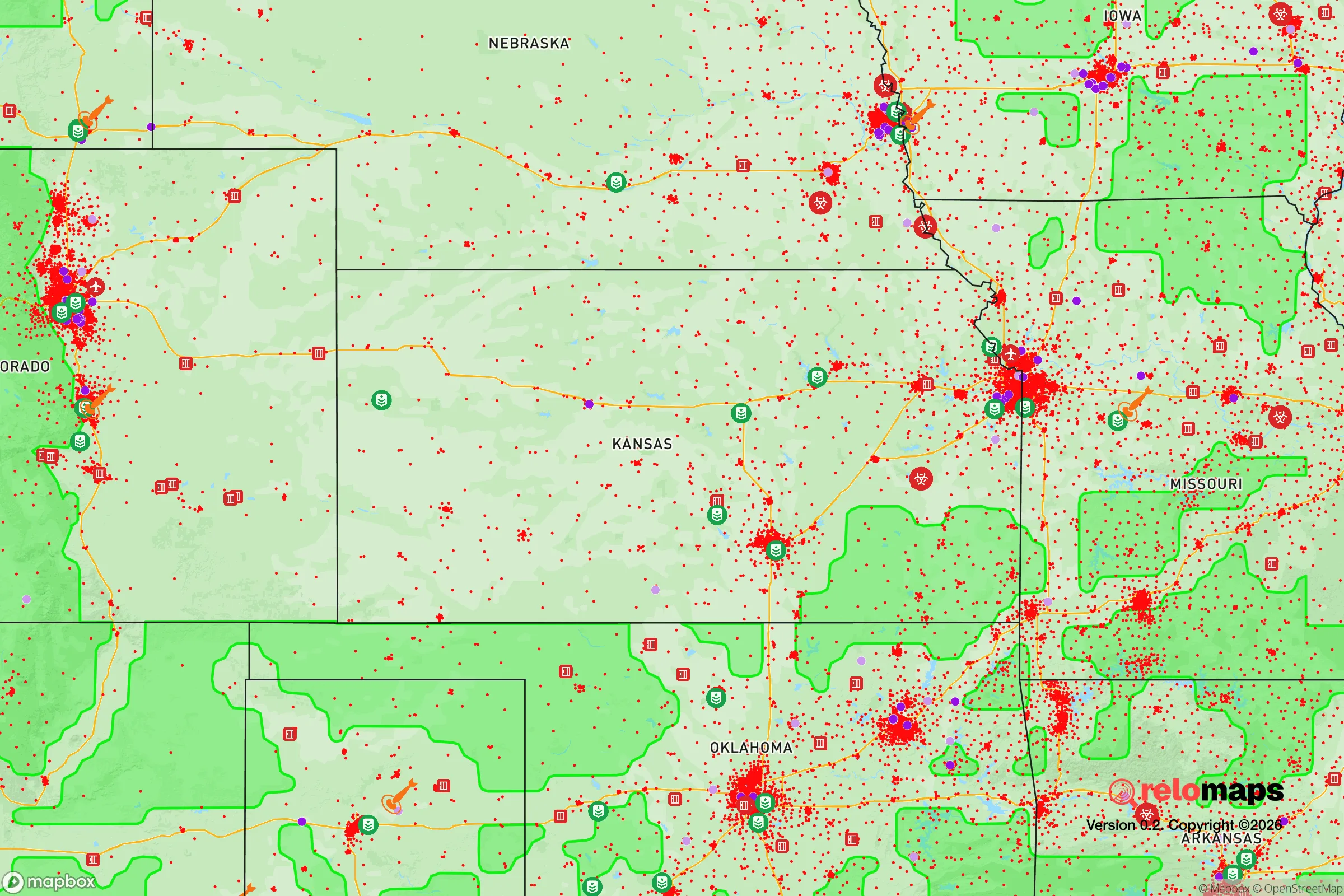
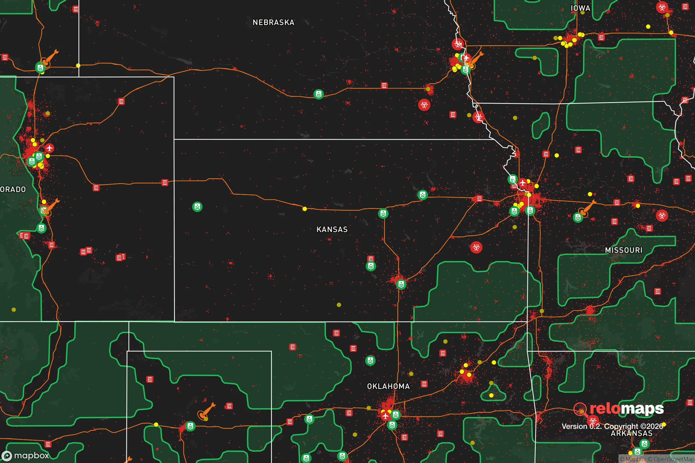
Important Note: For informational purposes only. This does not mean nothing bad ever happens in the green zones. Please use common sense. This is based on public data and modeled with AI. We tried to take a conservative approach but mistakes happen. We update this regularly as new information becomes available.
Solar Generator Recommendations
Backup power matters more here than in safer locations. We've picked three solar generators across budgets and capacity tiers — start with the budget unit if you only need a few essentials, or step up if you want to run a fridge and HVAC for days at a time.

Jackery Portable Power Station Explorer 300
Budget OptionPower on the Go: Weighing only 11 lbs, it's convenient to set up and store with book-sized foldable solar panels

BLUETTI Portable Power Station AC180
Designed for both indoor and outdoor scenarios, AC180 is highly capable as it has a robost capacity and continuous output power.

EF ECOFLOW DELTA Pro Ultra Power Station
Upgraded PickEcoFlow DELTA Pro Ultra is a whole-home energy system designed to grow with your family. Integrated with the Smart Home Panel 2, it scales to meet your evolving energy needs — keeping your home powered, intelligent, and secure through every stage of life.
We earn a commission, at no additional cost to you.
Strategic Assessment Analysis
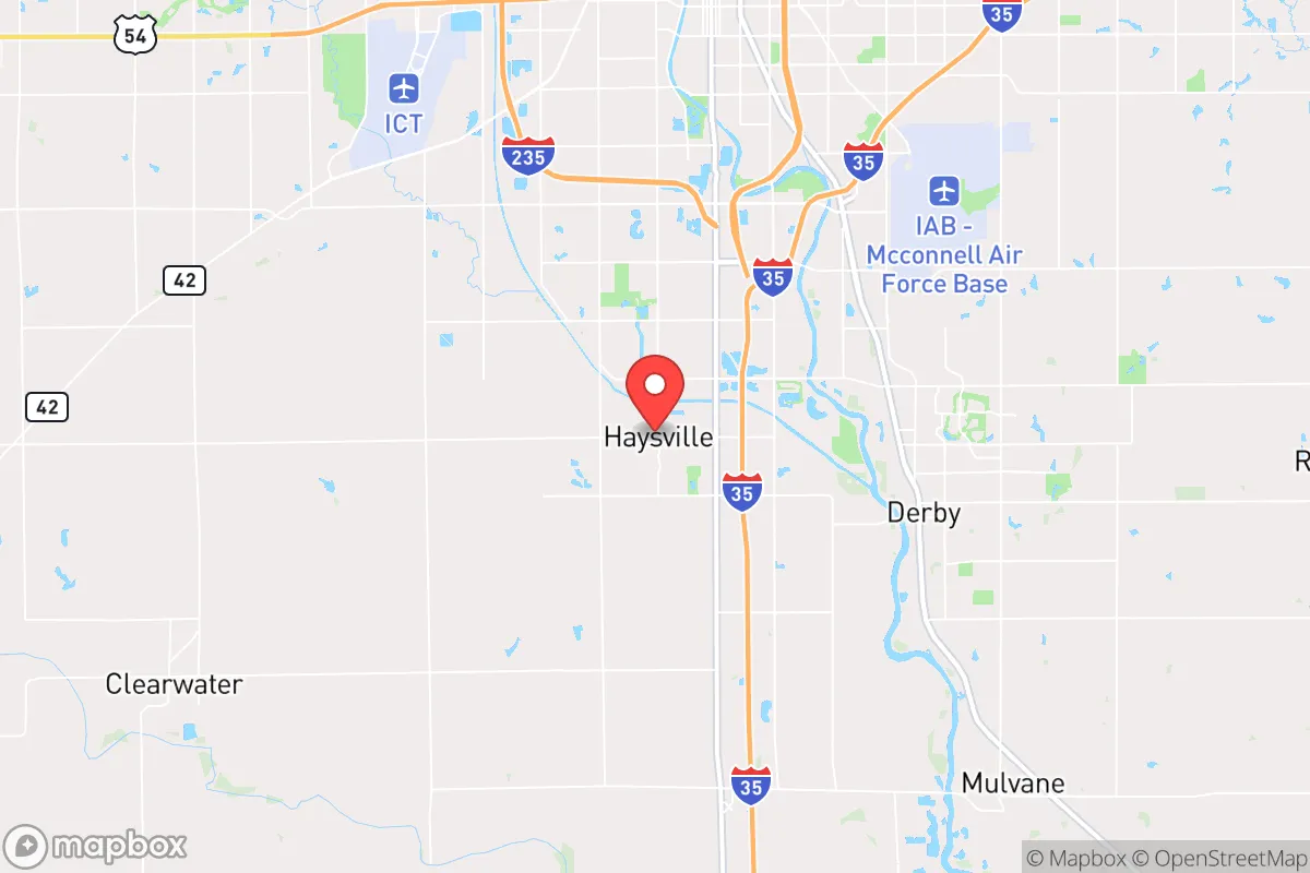
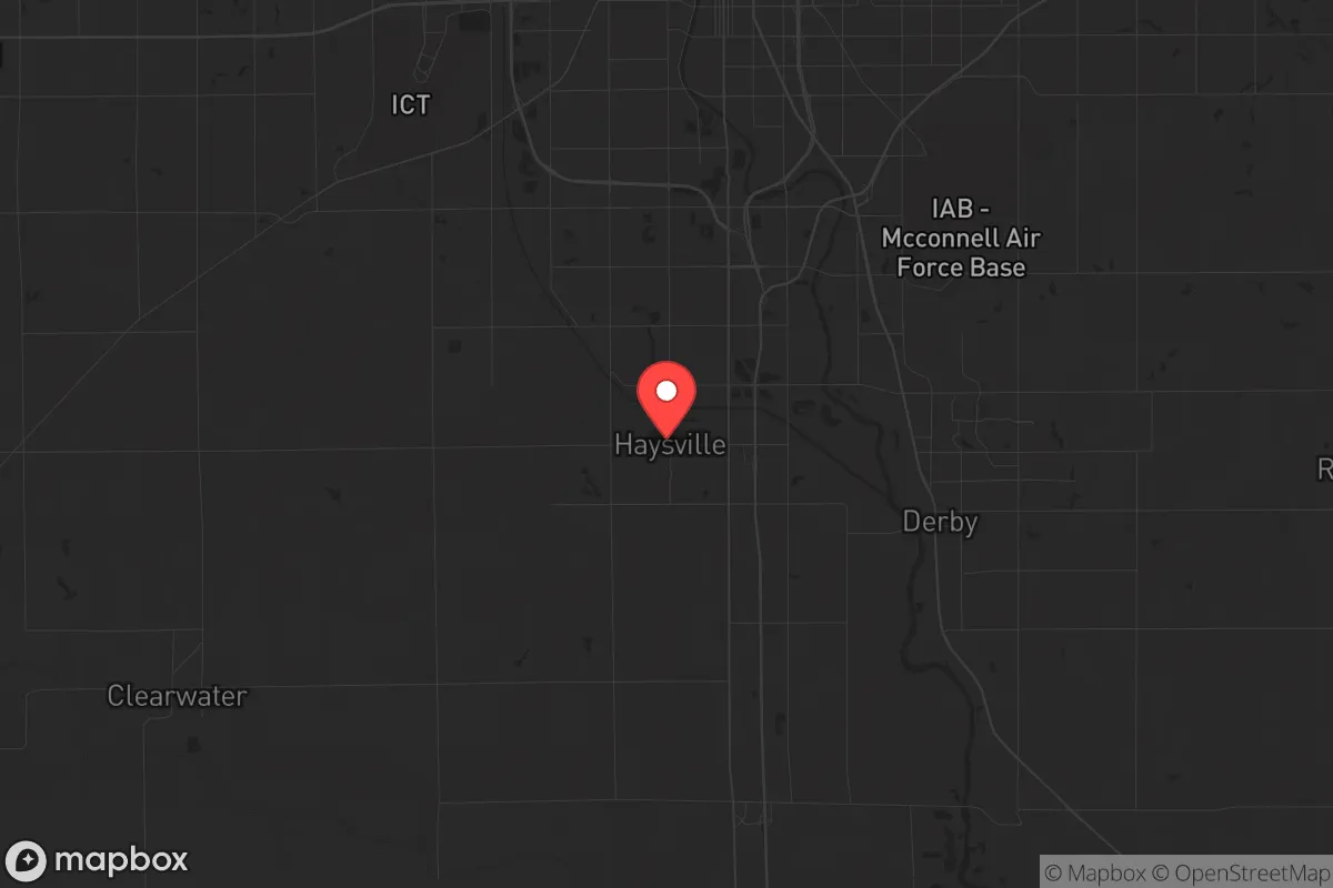
Haysville, Kansas, sits in a strategic sweet spot that many preppers overlook: close enough to Wichita’s resources to be practical, but far enough to avoid the blast radius of a major urban collapse. With a population hovering around 11,000, this Sedgwick County suburb offers a blend of small-town defensibility and access to the Arkansas River Valley’s agricultural backbone. For a relocator thinking in terms of decades, not just next year, Haysville’s resilience comes down to its position as a secondary node—not a primary target, but not a complete backwater either. The real question is whether its proximity to McConnell Air Force Base and the Wichita metro area is a liability or an asset when the grid goes down.
Geographic position and natural advantages for long-term survival
Haysville sits on the south bank of the Arkansas River, roughly 12 miles south of downtown Wichita. That river is the region’s lifeline: a reliable surface water source that doesn’t depend on municipal treatment plants staying online. The surrounding terrain is flat Kansas prairie, which means clear sightlines for miles—a tactical advantage if you’re worried about movement detection. The soil is fertile, with the Arkansas River Valley providing some of the best agricultural land in the state. For a family looking to supplement food supply, that’s not a minor perk; it’s a foundation. The area’s natural gas fields are also nearby, which could matter if you’re planning on alternative energy setups that don’t rely on the grid. Haysville itself sits at roughly 1,300 feet elevation, so flooding from the river is a concern only in the lowest-lying pockets near the banks—most of the town is on higher ground. The climate is continental: hot summers, cold winters, with an average of 34 inches of snow annually. That’s manageable for a prepared household, but it means winter heating and water storage need to be part of the plan.
Risks, exposures, and proximity to fallout-relevant landmarks
The biggest strategic risk with Haysville is its proximity to McConnell Air Force Base, located about 10 miles northeast. McConnell hosts the 22nd Air Refueling Wing and the 931st Air Refueling Wing, both of which are tanker operations—not primary strike assets, but still military infrastructure that could draw attention in a conflict scenario. In a major power war, McConnell is a plausible secondary target, and Haysville sits within the fallout plume zone for a ground burst on that base. That’s a hard reality to ignore. Additionally, Wichita’s population of 390,000 means that in a collapse scenario, you’d see significant refugee flow south along I-135 and Meridian Avenue. Haysville’s position as a bedroom community means it lacks the natural barriers—no mountains, no rivers wide enough to stop a crowd—that would slow that movement. The Arkansas River is fordable in many spots during dry months. On the plus side, there are no nuclear power plants within 100 miles, no major chemical storage facilities, and no large-scale rail yards that would be primary targets. The risk profile is moderate: you’re not in a blast zone, but you’re not in a remote redoubt either. For a relocator who values being under the radar, Haysville’s biggest exposure is its own proximity to a city that could become a humanitarian crisis zone.
Practical resilience for a relocator: food, water, energy, and defensibility
Water is the first thing to lock down. The Arkansas River is a year-round source, but it’s also a vector for contamination—agricultural runoff from upstream farms and potential sewage overflow from Wichita if treatment plants fail. A well is the better play. Sedgwick County’s groundwater is generally good, with the Equus Beds aquifer providing decent yields at depths of 50 to 150 feet. Drilling a private well is legal and common in the area, though you’ll need a permit. For surface water, the river is there, but plan on filtration and boiling. Food resilience is strong: the surrounding county is agricultural, with wheat, corn, and soybeans as staples. Local farmers’ markets operate in Haysville during growing season, and there are several small-scale livestock operations within a 20-minute drive. For long-term storage, the climate is dry enough that root cellars work well if you build them properly. Energy is where it gets trickier. The grid is reliable in normal times, but in a prolonged outage, natural gas generators are the most practical option given the local gas fields. Solar is viable—Kansas gets about 4.5 peak sun hours per day—but you’ll need battery storage to handle winter cloud cover. Defensibility is moderate. Haysville is laid out in a typical suburban grid, with cul-de-sacs and a few main arteries. The town’s layout doesn’t offer natural chokepoints, but it does have a low population density that makes perimeter awareness easier. The police department is small—about 20 officers—so in a crisis, you’re largely on your own. That’s not a criticism; it’s a fact that should inform your planning.
The overall strategic picture for Haysville is one of calculated trade-offs. It’s not a survivalist paradise—there’s no mountain redoubt, no deep forest, no isolation from the chaos of a collapsing metro area. But it’s also not a target-rich environment that would draw first-strike attention. For a single person or a family who wants to be within a day’s drive of a major city for supply runs while maintaining a low profile, Haysville works. The key is to treat it as a base of operations, not a fortress. Build your water independence, stock your pantry, and have a bug-out plan for the 10-mile corridor to the south if McConnell becomes a problem. The Arkansas River gives you a water source, the farmland gives you a food buffer, and the flat terrain gives you visibility. If you’re looking for a place that balances accessibility with survivability, Haysville is worth a serious look—just don’t expect it to save you from every scenario. It’s a tool, not a solution.
* Values derived from national, state, county, city and local statistics and may differ in a specific area. Last updated: 2026-04-30T03:06:34.000Z
Narrative content on this page is AI-generated and may contain mistakes. Verify any details that matter before acting on them.
ReloMaps may earn a commission from affiliate links at no extra cost to you.