
Photo: Wikipedia
Strategic Assessment of Hendersonville, TN
Multiple tactical vulnerabilities. Population density, target proximity, or disaster risk are likely compounding. A retreat property and exit planning is required.
What does the Strategic Assessment tell us?
Our Strategic Assessment grades tactical survivability of an area. Major population centers, military targets, fallout zones, natural disasters, and border exposure all drive risk — lower exposure means a more defensible position in a crisis.
This is heavily inspired by Joel Skousen's Strategic Relocation book. Highly recommended you checkout the book ($)What does this tell us?
Our Strategic Assessment grades tactical survivability of an area. Major population centers, military targets, fallout zones, natural disasters, and border exposure all drive risk — lower exposure means a more defensible position in a crisis.
This is heavily inspired by Joel Skousen's Strategic Relocation book. Highly recommended you checkout the book ($)Strategic Pillars

Key Distances
Regional Safe Places
Below is our recommended "safe zones" in Tennessee and the surrounding area based on our strategic heuristics. For most people, it's unrealistic to live in a “safe zone” full-time due to work, family or other personal reasons. They tend to be more rural. However, many of these areas are perfect for second homes and retreat properties that double as a vacation home or even a short-term rental.
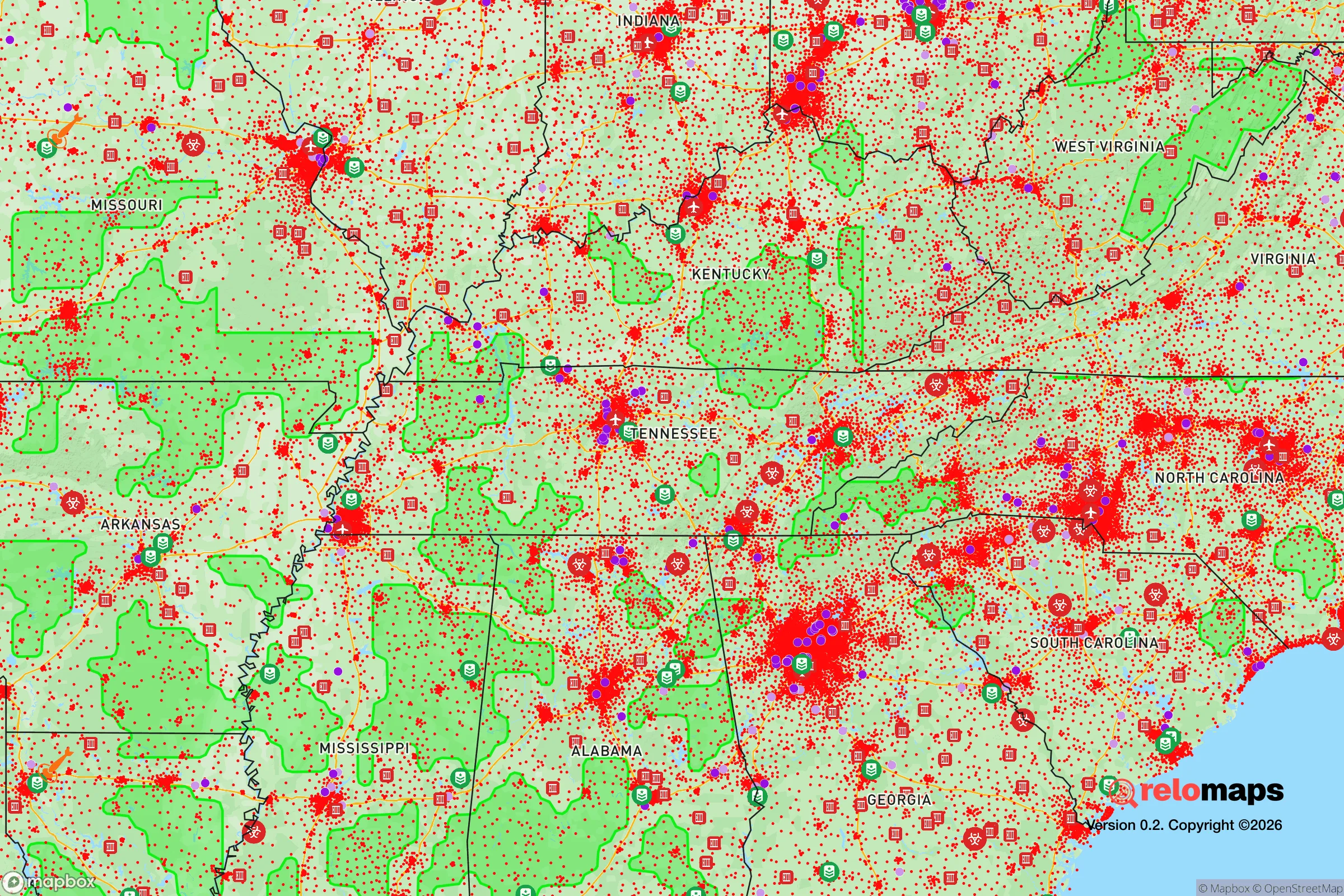
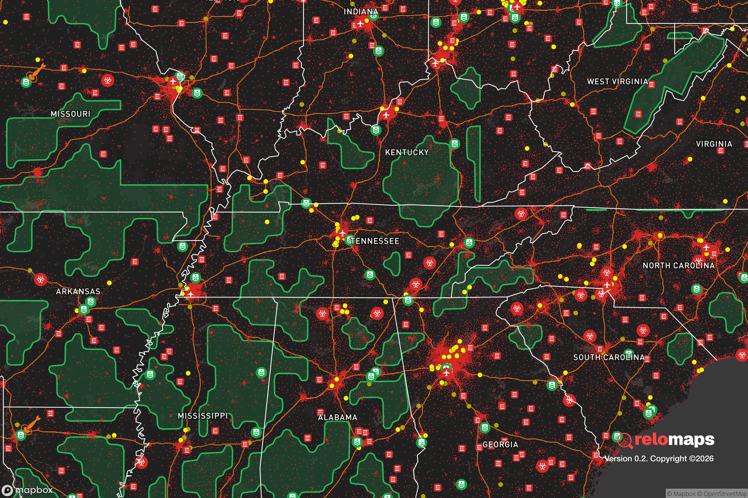
Important Note: For informational purposes only. This does not mean nothing bad ever happens in the green zones. Please use common sense. This is based on public data and modeled with AI. We tried to take a conservative approach but mistakes happen. We update this regularly as new information becomes available.
Solar Generator Recommendations
Backup power matters more here than in safer locations. We've picked three solar generators across budgets and capacity tiers — start with the budget unit if you only need a few essentials, or step up if you want to run a fridge and HVAC for days at a time.

Jackery Portable Power Station Explorer 300
Budget OptionPower on the Go: Weighing only 11 lbs, it's convenient to set up and store with book-sized foldable solar panels

BLUETTI Portable Power Station AC180
Designed for both indoor and outdoor scenarios, AC180 is highly capable as it has a robost capacity and continuous output power.

EF ECOFLOW DELTA Pro Ultra Power Station
Upgraded PickEcoFlow DELTA Pro Ultra is a whole-home energy system designed to grow with your family. Integrated with the Smart Home Panel 2, it scales to meet your evolving energy needs — keeping your home powered, intelligent, and secure through every stage of life.
We earn a commission, at no additional cost to you.
Strategic Assessment Analysis
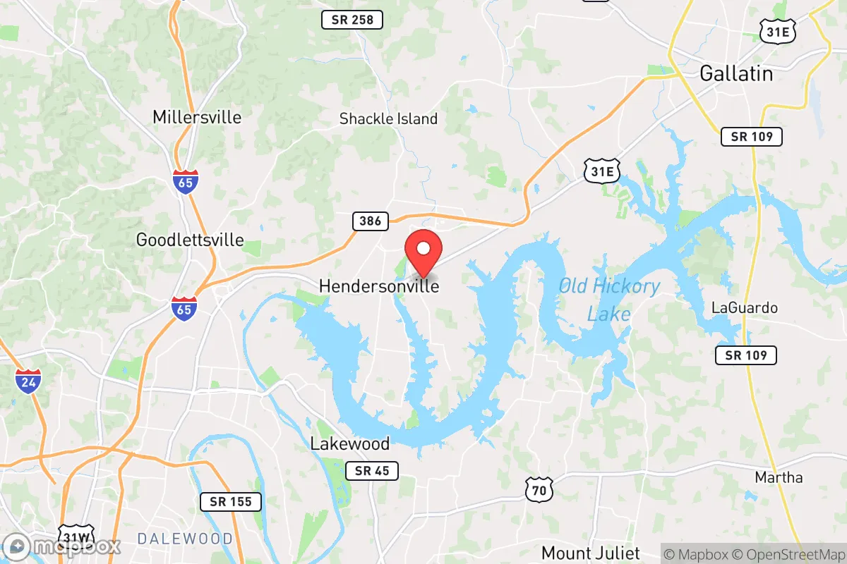
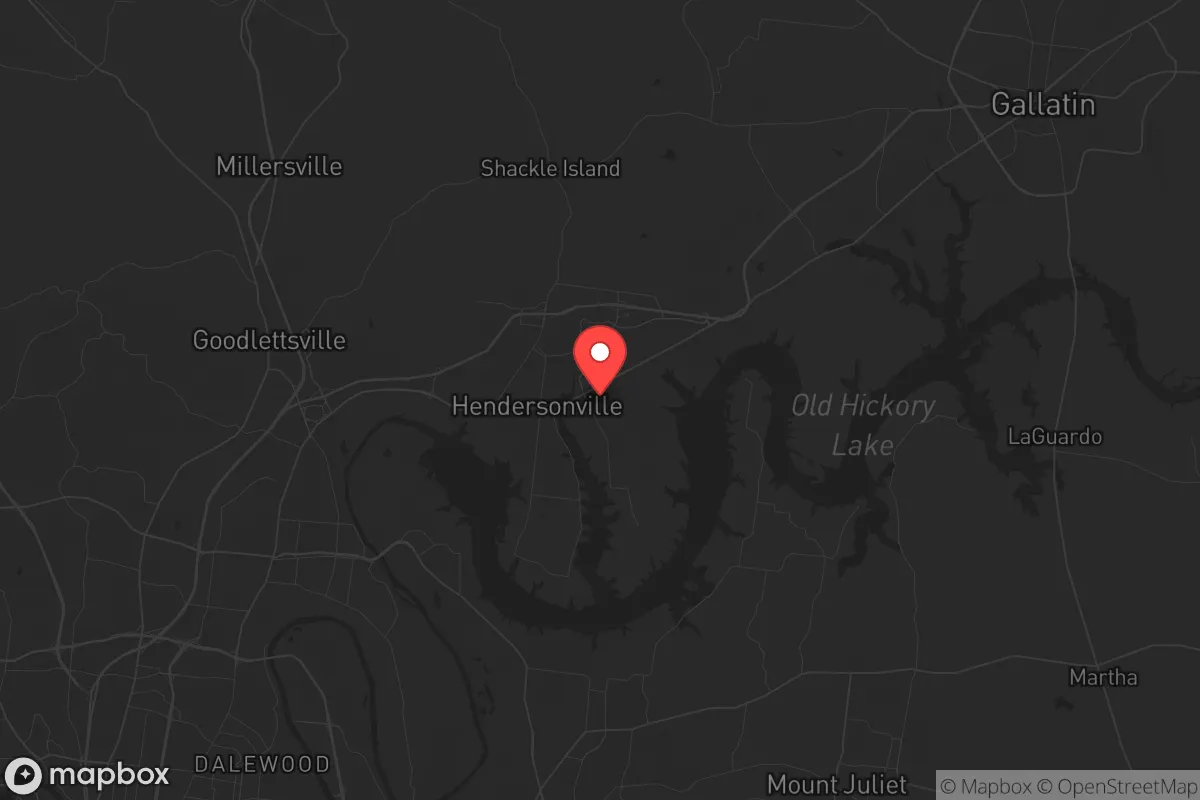
Hendersonville, Tennessee, sits in a strategic sweet spot that resilience-minded relocators should take seriously: close enough to Nashville for economic access, but far enough to avoid the worst of urban collapse scenarios. The city’s position on the northern shore of Old Hickory Lake, combined with Sumner County’s lower population density and conservative governance, gives it a structural advantage over suburbs like Brentwood or Franklin that are more tightly bound to Nashville’s grid. For someone thinking about civic unrest, supply chain disruptions, or mass casualty events, Hendersonville offers a defensible base with real logistical strengths—provided you understand its specific exposures.
Geographic position and natural advantages for long-term stability
Hendersonville’s location at the intersection of Interstate 65 and State Route 386 (Vietnam Veterans Boulevard) gives it a dual advantage: rapid evacuation north toward Kentucky or lateral movement east-west via U.S. Route 31E. The city sits on the Cumberland Plateau’s western edge, meaning it’s less prone to the flooding that plagues low-lying areas along the Cumberland River downstream. Old Hickory Lake, a 22,500-acre reservoir created by the U.S. Army Corps of Engineers, provides a reliable freshwater source that isn’t dependent on municipal treatment plants—critical if grid water fails. The surrounding terrain is rolling hills with mixed hardwood forest, offering natural cover and defensible positions for rural properties just north of the city limits. Sumner County’s average elevation of 500–800 feet above sea level also reduces tornado risk compared to flatter areas west of Nashville, though no place in Middle Tennessee is immune.
Risks, exposures, and proximity to fallout-relevant landmarks
The biggest strategic liability is Hendersonville’s 30-mile proximity to Nashville, a major transportation hub with Nashville International Airport (BNA), two interstate junctions (I-24/I-40/I-65), and a CSX rail yard that handles hazardous materials. In a mass casualty event or civil unrest scenario, Nashville becomes a chokepoint: refugees would likely flow north along I-65, and Hendersonville sits directly in that funnel. The Tennessee Valley Authority’s Cumberland Fossil Plant (about 20 miles west in Cumberland City) and the Watts Bar Nuclear Plant (70 miles southwest) are within a plausible fallout zone if a catastrophic failure or attack occurred—though prevailing winds typically blow east-southeast, which would push contamination away from Hendersonville. More immediate: the CSX rail line running through downtown Hendersonville carries chlorine, ammonia, and other toxics; a derailment near the lake could contaminate the primary water source for thousands. The city’s population of roughly 65,000 (2024 estimate) is dense enough that a localized disaster—like a chemical spill or grid-down event—would strain local resources within 48 hours.
Practical resilience for a relocator: food, water, energy, and defensibility
For a prepper or survivalist, Hendersonville’s practical resilience hinges on three factors: water access, local food production, and energy independence. Old Hickory Lake is the obvious water play—but you need a manual pump or solar-powered filtration system, because the lake’s shoreline is heavily developed, and in a prolonged grid outage, surface water becomes a contested resource. The city’s municipal water comes from the Cumberland River via the Old Hickory Dam, meaning any disruption to the dam (mechanical failure, sabotage, or flood) cuts supply to most of Hendersonville. For food, Sumner County has over 1,200 farms (USDA 2022 data), with strong local production of beef, poultry, and row crops like corn and soybeans. The Hendersonville Farmers Market (open May–October) is a good indicator of local growing capacity, but year-round food security requires private gardening or a relationship with a nearby farm—most retail grocery is concentrated in three major chains (Kroger, Publix, Walmart) that would empty within hours of a panic event. Energy-wise, Hendersonville is served by the Tennessee Valley Authority (TVA), which has a relatively robust grid, but the area is not immune to the winter storm blackouts that hit Middle Tennessee in 2021 and 2022. Solar with battery backup is viable here—the region averages 210 sunny days per year—but homeowners associations (HOAs) in subdivisions like Indian Lake or Sanders Ferry may restrict panel placement. For defensibility, the rural northern part of Sumner County (areas near Westmoreland or Portland) offers better standoff distance and lower population density, but Hendersonville itself is suburban—meaning you’re relying on neighborhood watch and local law enforcement (Sumner County Sheriff’s Office, with about 200 sworn deputies) rather than isolated self-defense. The Second Amendment culture is strong in Sumner County; gun ownership is common, and the county has a constitutional carry law (Tennessee permitless carry, effective 2021). That’s a plus for personal security, but it also means any unrest could escalate quickly if groups form.
The overall strategic picture for Hendersonville is one of calculated compromise. It’s not a remote bunker—it’s a suburban hub with real infrastructure dependencies and a clear vulnerability to Nashville’s collapse. But for a relocator who wants economic opportunity within a 30-minute drive while maintaining a defensible home base with lake water, local farms, and a conservative community, it’s one of the better options in Middle Tennessee. The key is to treat Hendersonville as a staging area, not a final redoubt: secure a property with well water or lake access, build a solar setup, stockpile supplies for 90 days, and establish relationships with farmers north of the city. If you do that, you’ve got a solid platform for riding out the next decade’s turbulence—without having to go full off-grid in the mountains.
* Values derived from national, state, county, city and local statistics and may differ in a specific area. Last updated: 2026-05-02T20:28:51.000Z
Narrative content on this page is AI-generated and may contain mistakes. Verify any details that matter before acting on them.
ReloMaps may earn a commission from affiliate links at no extra cost to you.