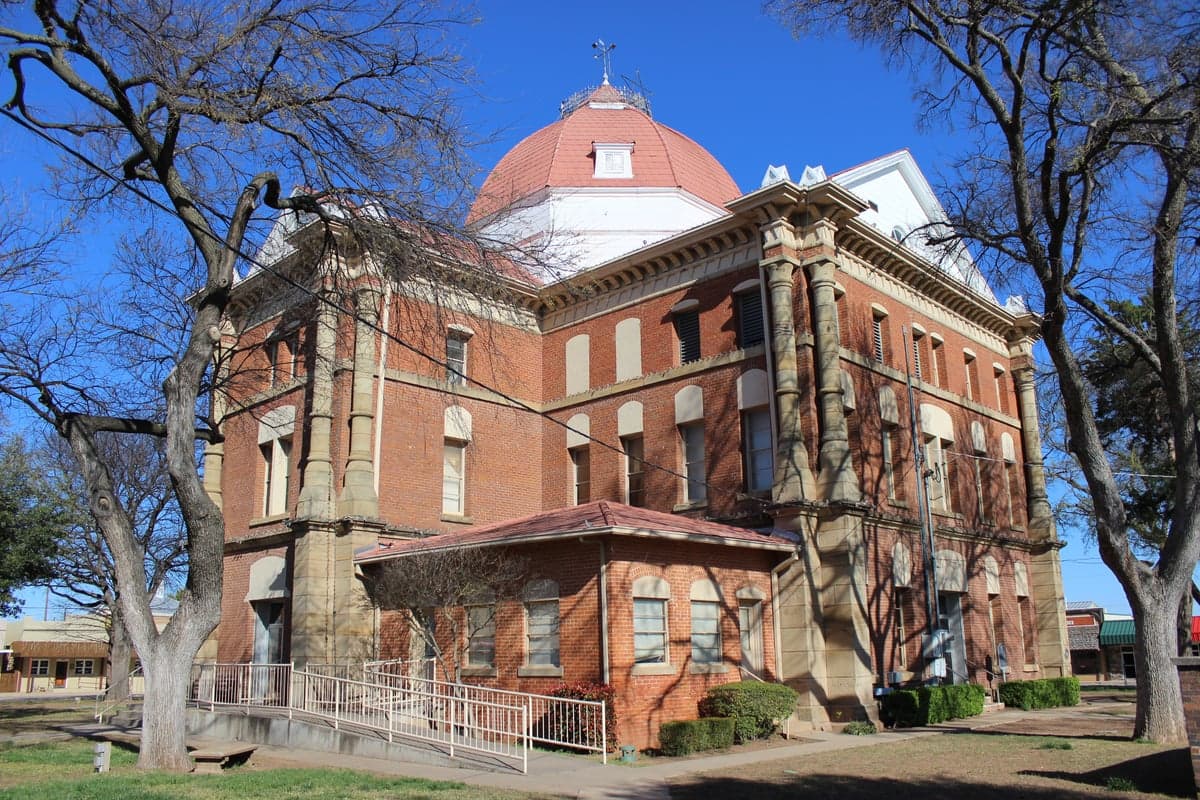
Photo: Wikipedia
Strategic Assessment of Henrietta, TX
Workable tactical position. Some exposure to population density or targets, but generally defensible in a crisis.
What does the Strategic Assessment tell us?
Our Strategic Assessment grades tactical survivability of an area. Major population centers, military targets, fallout zones, natural disasters, and border exposure all drive risk — lower exposure means a more defensible position in a crisis.
This is heavily inspired by Joel Skousen's Strategic Relocation book. Highly recommended you checkout the book ($)What does this tell us?
Our Strategic Assessment grades tactical survivability of an area. Major population centers, military targets, fallout zones, natural disasters, and border exposure all drive risk — lower exposure means a more defensible position in a crisis.
This is heavily inspired by Joel Skousen's Strategic Relocation book. Highly recommended you checkout the book ($)Strategic Pillars

Key Distances
Regional Safe Places
Below is our recommended "safe zones" in Texas and the surrounding area based on our strategic heuristics. For most people, it's unrealistic to live in a “safe zone” full-time due to work, family or other personal reasons. They tend to be more rural. However, many of these areas are perfect for second homes and retreat properties that double as a vacation home or even a short-term rental.

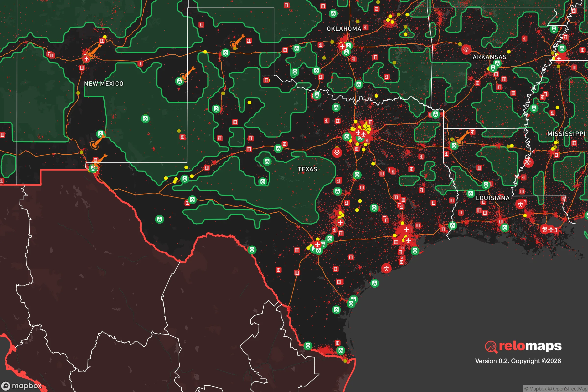


Important Note: For informational purposes only. This does not mean nothing bad ever happens in the green zones. Please use common sense. This is based on public data and modeled with AI. We tried to take a conservative approach but mistakes happen. We update this regularly as new information becomes available.
Solar Generator Recommendations
Backup power matters more here than in safer locations. We've picked three solar generators across budgets and capacity tiers — start with the budget unit if you only need a few essentials, or step up if you want to run a fridge and HVAC for days at a time.

Jackery Portable Power Station Explorer 300
Budget OptionPower on the Go: Weighing only 11 lbs, it's convenient to set up and store with book-sized foldable solar panels

BLUETTI Portable Power Station AC180
Designed for both indoor and outdoor scenarios, AC180 is highly capable as it has a robost capacity and continuous output power.

EF ECOFLOW DELTA Pro Ultra Power Station
Upgraded PickEcoFlow DELTA Pro Ultra is a whole-home energy system designed to grow with your family. Integrated with the Smart Home Panel 2, it scales to meet your evolving energy needs — keeping your home powered, intelligent, and secure through every stage of life.
We earn a commission, at no additional cost to you.
Strategic Assessment Analysis
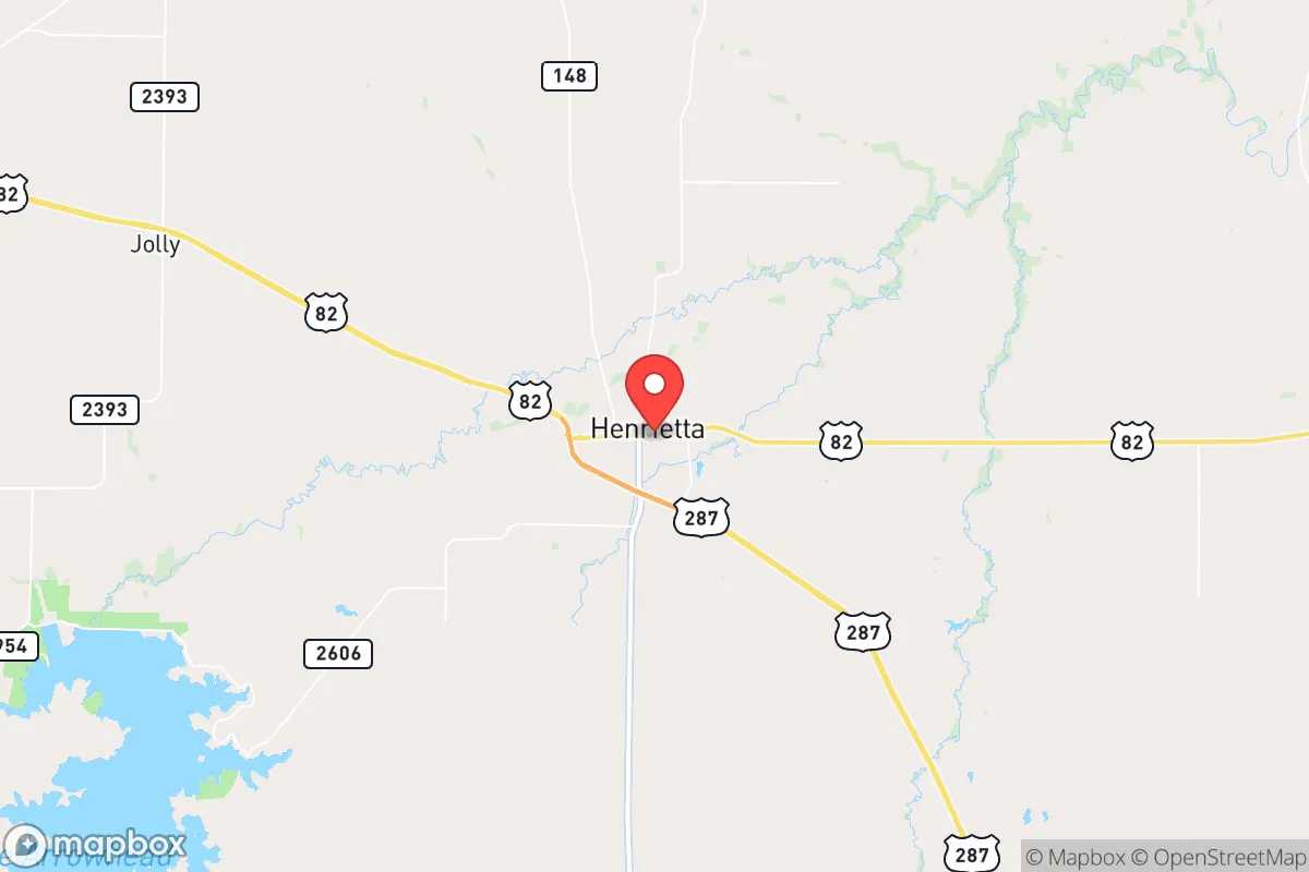
Henrietta, Texas, offers a compelling strategic position for those prioritizing disaster readiness and long-term self-sufficiency, balancing genuine geographic advantages with real-world risks that demand sober assessment. Located in Clay County, roughly 30 miles east of Wichita Falls and about 90 miles northwest of the Dallas-Fort Worth metroplex, Henrietta sits at a distance from major urban centers that provides meaningful buffer without complete isolation. The town's population of roughly 3,000 residents and its position as the county seat give it a functional government infrastructure and established community networks that can be leveraged in a crisis, while its location along U.S. Highway 82 and State Highway 148 provides practical access routes that aren't dependent on a single corridor.
Geographic position and natural advantages for self-sufficiency
Henrietta's location in north-central Texas places it within the rolling plains region, a landscape characterized by moderate elevation changes, scattered mesquite and oak woodlands, and the presence of the Red River Valley to the north. The area sits on the edge of the Texas Panhandle's flatter expanses, offering more varied terrain than points further west while avoiding the dense forestation of East Texas that can complicate travel and visibility. The Wichita River runs near the town, and the Red River forms the northern county boundary roughly 15 miles away, providing surface water sources that are increasingly valuable in drought-prone Texas. Clay County receives an average of roughly 30 inches of rainfall annually, which is modest but reliable enough to support dryland farming and rainwater catchment systems. The local water table is accessible through wells in many parts of the county, with typical depths ranging from 100 to 300 feet depending on location, giving property owners a realistic path to independent water supply. The area's growing season stretches about 220 days, from late March through early November, which supports substantial home food production including warm-season vegetables, fruit trees, and small grains. The soil composition varies from sandy loam to clay, with much of the county's agricultural land supporting cattle ranching and hay production, meaning that neighbors with farming experience and equipment are common rather than rare.
Risks, exposures, and proximity to fallout-relevant landmarks
The most significant risk factor for Henrietta in a resilience assessment is its proximity to Sheppard Air Force Base in Wichita Falls, located roughly 30 miles to the west. Sheppard is a major training installation for both U.S. and allied air forces, hosting the 82nd Training Wing and the 80th Flying Training Wing, and it represents a potential target in any conflict involving strategic military assets. While 30 miles provides meaningful distance from a direct blast zone for most conventional scenarios, the prevailing wind patterns in north Texas run predominantly from the south and southwest, which could carry fallout or airborne contaminants toward Henrietta depending on the specific event. The Dallas-Fort Worth metroplex, with its concentration of defense contractors, transportation hubs, and critical infrastructure, lies roughly 90 miles to the southeast, placing Henrietta outside the most severe risk zones for a major urban event while still within a range where secondary effects like refugee movement or supply chain disruption would be felt. Natural disaster risks in Clay County are moderate by Texas standards. Tornado activity is a genuine concern, with the area falling within the southern end of Tornado Alley, and the 2020 Clay County tornado that struck near Bellevue serves as a recent reminder that severe weather can arrive with little warning. The region experiences periodic drought conditions, with the 2011 drought being particularly severe, and the combination of dry vegetation and summer heat creates elevated wildfire risk in rural areas, especially during July through September. Flooding along the Wichita and Red Rivers is possible during heavy rain events, though Henrietta's elevation relative to the river bottoms provides some natural protection for the town center.
Practical resilience for a relocator: food, water, energy, and defensibility
For someone serious about self-sufficiency, Henrietta offers a realistic foundation that requires work but doesn't demand heroic effort. Food production is feasible on standard residential lots of one to five acres, which are common in the area and affordable relative to national averages. The local agricultural extension office through Texas A&M provides region-specific guidance on crops, livestock, and pest management, and the presence of active ranching operations means that knowledge transfer from experienced locals is accessible for those willing to engage with the community. Water independence is achievable through well drilling, with costs typically ranging from $5,000 to $15,000 depending on depth and geology, and the county's groundwater regulations are less restrictive than those in more populated parts of Texas. Rainwater catchment is also viable given the 30-inch annual rainfall, with a 1,000-square-foot roof producing roughly 600 gallons per inch of rain, making a modest collection system a practical supplement to well water. Energy resilience in Clay County benefits from the area's solar resource, which is strong by national standards with roughly 5.5 peak sun hours per day on average. Zoning restrictions are minimal in unincorporated areas, allowing for solar panel installation, battery storage, and backup generator systems without the permitting battles common in suburban jurisdictions. The local electrical grid is served by North Texas Electric Cooperative, a member-owned utility that has shown reasonable reliability, but the rural nature of the county means that outages during storms can last longer than in urban areas, making independent power a genuine necessity rather than a luxury. Defensibility is a mixed picture. Henrietta's small size and low population density work in favor of security, as the number of people who might need to be screened or managed in a crisis is manageable. The town's layout, with a compact downtown surrounded by scattered rural homesteads, allows for natural observation points and multiple approach routes. However, the flat to gently rolling terrain offers limited natural cover, and the proximity to major highways means that evacuation or supply routes are predictable and could become congested if large numbers of people from the Wichita Falls or DFW areas decide to relocate northward during a crisis.
The overall strategic picture for Henrietta is one of genuine opportunity paired with honest limitations. The town offers a realistic path to self-sufficiency for someone willing to invest in well water, solar power, and food production infrastructure, all of which are feasible here at costs that compare favorably to more popular relocation destinations in the Mountain West or Pacific Northwest. The community is small enough that personal relationships matter and large enough to support a hardware store, a grocery store, and basic medical services, which is a balance that many rural towns fail to achieve. The primary strategic concern is the Sheppard Air Force Base risk, which is real but manageable for those who understand that no location in the continental United States is entirely free from military-target exposure. For the relocator who wants to be close enough to civilization to maintain employment and access while being far enough to have genuine buffer, Henrietta represents a serious option that deserves a hard look. The area won't hand you self-sufficiency on a platter, but it won't fight you when you try to build it yourself.

* Values derived from national, state, county, city and local statistics and may differ in a specific area. Last updated: 2026-08-04T15:41:15.000Z
Narrative content on this page is AI-generated and may contain mistakes. Verify any details that matter before acting on them.
ReloMaps may earn a commission from affiliate links at no extra cost to you.

