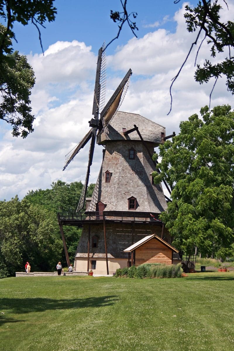
Photo: Wikipedia
Strategic Assessment of Kane County
Meaningful friction. Expect exposure to either population pressure, blast zones, or natural disaster risk. Consider buying a retreat property.
What does the Strategic Assessment tell us?
Our Strategic Assessment grades tactical survivability of an area. Major population centers, military targets, fallout zones, natural disasters, and border exposure all drive risk — lower exposure means a more defensible position in a crisis.
This is heavily inspired by Joel Skousen's Strategic Relocation book. Highly recommended you checkout the book ($)What does this tell us?
Our Strategic Assessment grades tactical survivability of an area. Major population centers, military targets, fallout zones, natural disasters, and border exposure all drive risk — lower exposure means a more defensible position in a crisis.
This is heavily inspired by Joel Skousen's Strategic Relocation book. Highly recommended you checkout the book ($)Strategic Pillars

Key Distances
Strategic Assessment Analysis
Kane County, Illinois, offers a surprisingly strong strategic position for relocators prioritizing resilience and self-sufficiency, balancing proximity to Chicago’s economic engine with the practical advantages of the Fox River Valley and a decentralized suburban-rural mix. The county’s location—roughly 40 miles west of Chicago’s Loop and 30 miles from O’Hare International Airport—provides access to major infrastructure without the density and vulnerability of the urban core. For a conservative-leaning audience thinking seriously about disaster readiness, Kane County’s combination of agricultural land, water resources, and a politically moderate-to-conservative tilt (the county voted +2 R in 2024, with rural townships like Burlington and Hampshire leaning heavily red) makes it a credible option for those who want to stay within striking distance of a major metro area while maintaining a buffer from its most acute risks.
Geographic position and natural advantages: The Fox River corridor and agricultural buffer
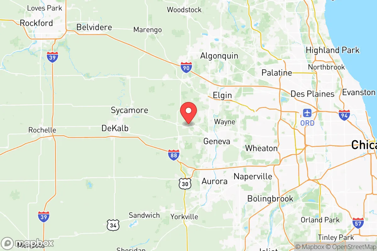
Kane County’s geography is defined by the Fox River, which runs north-south through its center, providing a reliable surface water source and a natural corridor for wildlife and movement. The county spans roughly 524 square miles, with a mix of suburban development in the east (near Elgin and Aurora) and increasingly rural farmland in the west and northwest, around towns like Maple Park, Virgil, and Burlington. This east-west gradient is a key advantage: the western half of the county is dominated by row crops (corn and soybeans) and scattered woodlots, offering a food-production buffer and lower population density. The Fox River itself is a strategic asset—it’s not a major shipping channel, but its flow is consistent enough to support small-scale irrigation and emergency water collection. The county’s highest point, near the village of Lily Lake, sits at about 1,000 feet above sea level, offering modest elevation advantages for communication and observation. Unlike coastal or floodplain-heavy areas, Kane County’s terrain is gently rolling, with no significant landslide or tsunami risk. The area’s continental climate means four distinct seasons, with cold winters that can disrupt supply chains but also freeze water sources—a trade-off that requires planning but is manageable with proper infrastructure.
Risks, exposures, and proximity to fallout-relevant landmarks
Kane County’s primary risk profile stems from its proximity to Chicago and the industrial corridors radiating from it, rather than from natural hazards. The county is roughly 35 miles from the Braidwood Generating Station (a nuclear power plant in Will County) and about 45 miles from the Dresden Generating Station in Grundy County—both are potential fallout-relevant landmarks in a major incident. While prevailing winds in the region are from the west and southwest, which would carry fallout away from Kane County in a Braidwood or Dresden event, a shift in wind direction could expose eastern portions of the county (Elgin, South Elgin, St. Charles) to elevated risk. More immediately, the county sits within the Chicago metropolitan area’s emergency planning zone, meaning that a major event in the city—whether natural disaster, terrorist attack, or grid failure—would trigger cascading effects on Kane County’s supply chains, fuel availability, and population movement. The county’s own industrial assets include the Elgin Refinery (a small but operational petroleum refinery) and multiple rail yards along the Union Pacific and BNSF lines, which are both economic assets and potential targets. Flooding along the Fox River is a recurring issue, particularly in low-lying areas of Aurora, Geneva, and Batavia, with the 2020 floods causing millions in damage. Tornado risk is moderate—Kane County averages 2-3 tornadoes per year, typically EF0-EF1, but the 2015 Fairdale tornado (EF4) in neighboring DeKalb County serves as a reminder that severe events can occur. For a relocator, the key takeaway is that Kane County’s risks are largely man-made and proximity-driven, not geologically inherent, and that the western half of the county offers a meaningful buffer from the most acute threats.
Practical resilience for a relocator: Food, water, energy, and defensibility
For a family or individual looking to build a self-sufficient lifestyle, Kane County offers a realistic mix of resources and challenges. Food production is a genuine strength: the county has over 1,200 farms covering roughly 60% of its land area, with a strong concentration of small-to-mid-size operations in the western townships. Farmers’ markets in St. Charles, Geneva, and Batavia operate seasonally, and the Kane County Flea Market in St. Charles is a regional hub for livestock, tools, and bulk goods. For those wanting to grow their own food, the soil in the western half is prime agricultural loam, and growing seasons run from mid-April to mid-October. Water access is excellent: the Fox River is a perennial stream, and the county’s groundwater aquifer (the St. Peter Sandstone) is deep but reliable. However, most residential wells in the rural west tap into shallow glacial drift aquifers, which can be vulnerable to drought or contamination from agricultural runoff. A private well with a hand pump is a practical investment. Energy resilience is a mixed picture: the grid is served by ComEd, which has a moderate reliability record (average 1.5 outages per year, typically weather-related). Solar potential is decent—the county averages 4.2 peak sun hours per day—but zoning in rural areas is generally permissive for small-scale solar and wind installations. Natural gas is widely available in the eastern suburbs but less so in the west, where propane is common. Defensibility is the weakest link: Kane County is not a natural fortress. The terrain is open and rolling, with few choke points or natural barriers. The Fox River provides a partial defensive line, but it’s easily crossed at multiple bridges. The county’s population density (roughly 1,200 people per square mile in the east, dropping to 50-100 in the west) means that a determined group could be isolated, but the area is not easily sealed off. The Kane County Sheriff’s Office has a strong presence in rural areas, with response times of 15-30 minutes in the far west, but the county’s overall law enforcement capacity is designed for suburban policing, not sustained crisis response. For a relocator, the practical path is to choose a property in the western third of the county—say, near Hampshire or Burlington—where land is affordable, water is accessible, and neighbors are spaced far enough apart to allow for privacy and self-reliance.
The overall strategic picture for Kane County is one of calculated trade-offs. It is not a remote survivalist redoubt—it’s a working suburban-rural hybrid that offers genuine resilience advantages (water, farmland, moderate climate) while remaining within a two-hour drive of Chicago’s medical, logistical, and economic resources. For a conservative-leaning family that values community, local governance, and the ability to produce some of its own food and energy, Kane County is a strong candidate. The western townships provide a buffer from urban risks, the Fox River ensures water security, and the county’s agricultural base means that food production is not just possible but practical. The downsides are real: proximity to nuclear plants, vulnerability to grid disruptions from Chicago, and a landscape that offers little natural defensibility. But for someone who wants to be prepared without going off-grid, Kane County strikes a balance that few other areas in the upper Midwest can match. The key is to choose your specific location carefully—west of Route 47, away from the river floodplains, and with a well and solar capacity in place before you need them. That’s the difference between a strategic asset and just another suburb.

* Values derived from national, state, county, city and local statistics and may differ in a specific area. Last updated: 2026-08-14T00:42:57.000Z
Narrative content on this page is AI-generated and may contain mistakes. Verify any details that matter before acting on them.
ReloMaps may earn a commission from affiliate links at no extra cost to you.

