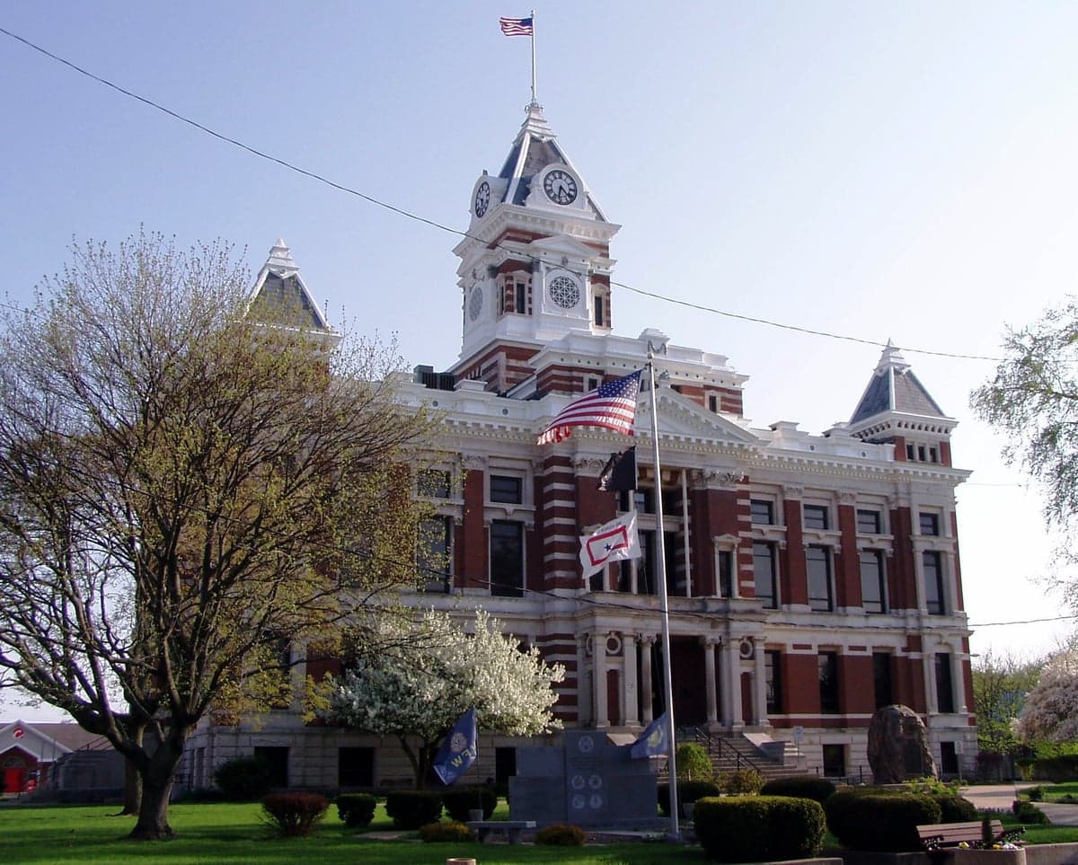
Photo: Wikipedia
Strategic Assessment of Johnson County
Meaningful friction. Expect exposure to either population pressure, blast zones, or natural disaster risk. Consider buying a retreat property.
What does the Strategic Assessment tell us?
Our Strategic Assessment grades tactical survivability of an area. Major population centers, military targets, fallout zones, natural disasters, and border exposure all drive risk — lower exposure means a more defensible position in a crisis.
This is heavily inspired by Joel Skousen's Strategic Relocation book. Highly recommended you checkout the book ($)What does this tell us?
Our Strategic Assessment grades tactical survivability of an area. Major population centers, military targets, fallout zones, natural disasters, and border exposure all drive risk — lower exposure means a more defensible position in a crisis.
This is heavily inspired by Joel Skousen's Strategic Relocation book. Highly recommended you checkout the book ($)Strategic Pillars

Key Distances
Strategic Assessment Analysis
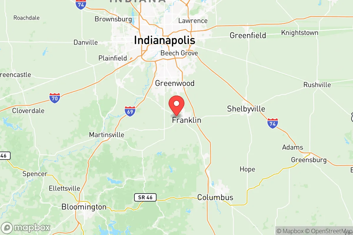
Johnson County, Indiana, offers a compelling mix of strategic depth and everyday practicality for those serious about weathering a long-term societal reset. Sitting just south of the Indianapolis metro but far enough from the core blast zones and choke points, this corridor gives you the breathing room to establish a durable foothold without being cut off from essential supply lines. The real draw is a low-key, defensible position on the middle tier of the state—close enough to tap Midwestern resources, far enough from the centrifugal chaos of a collapsing urban hub. If you’re vetting locations for a generational move, Johnson County deserves a hard look for its balance of agricultural backbone, limited strategic targets, and relatively quiet demographic profile.
Why Johnson County’s geographic position matters for a generational relocation
Franklin, the county seat, sits roughly 20 miles south of downtown Indianapolis—close enough for a day trip but far enough that most urban fallout radius maps place you outside the severe thermal and blast zones. The real strategic advantage is the county’s wedge between two major interstates: I-65 runs north-south along the western edge, and I-74 cuts east-west across the middle. In a crisis, these corridors can become double-edged—highways attract refugee flow—but they also provide redundant routes for re-supply or evacuation if you need to pivot north toward Michigan’s water or south toward the Ohio River. Greenwood, the county’s largest town at roughly 60,000 people, is a retail and medical hub, but it’s also a potential congestion point; more self-reliant relocators tend to look at Bargersville or Whiteland for smaller footprints and easier defensibility. The terrain is rolling agricultural land with patches of hardwood forest—nothing dramatic, but enough cover and drainage to support dispersed living. No major river cuts through the county itself, but the White River runs along the western border, and several small lakes (like Lake Tartan near Edinburgh and the reservoir at Atterbury) offer fresh water sources that aren’t tied to municipal systems. The natural advantages here are subtle: good soil, moderate climate, and a position that avoids the worst of tornado alley while still being inside the breadbasket.
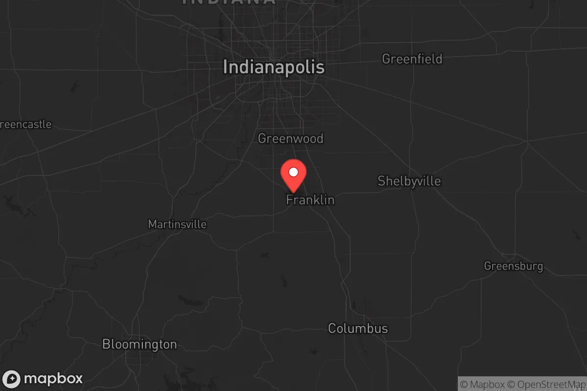
Key risks and exposure zones in central Indiana that affect your safety horizon
Let’s be direct: Johnson County is not a remote bunker zone. It sits within the shadow of Indianapolis, which is a Tier 1 target for both conventional unrest and any nuclear exchange scenario due to its transportation hubs, FedEx sorting center, and military command nodes at Fort Harrison and Camp Atterbury. Camp Atterbury—just east of the county in neighboring Bartholomew County—is an active National Guard training base and a regional mobilization center. In a crisis, that base becomes a magnet for federal forces, refugees, and potential supply raids. You need to account for that 15-mile proximity; any large-scale movement of personnel or equipment along State Road 252 or I-65 will funnel through or near Franklin and Edinburgh. Other fallout-relevant landmarks include the Indianapolis International Airport (roughly 25 miles north) and the massive petroleum storage terminals along the refinery corridor near Mount Comfort and the BP complex in Whiting (far north, but prevailing winds from the west could carry particulate). Closer to home, the Greenwood Park Mall was already a civil unrest flashpoint in 2022; expect that commercial corridor to be a looting and crowd-concentration zone during any breakdown. Edinburgh, at the county’s southern tip, sits near the I-65/I-74 interchange—a natural bottleneck that could become a conflict zone for displaced populations moving south. The county’s flat, open farmland also limits natural defensibility; you can’t hide behind hills, so layered security (perimeter, standoff, and early warning) becomes non-negotiable. The risk profile is moderate-high, but manageable if you pick a location away from the interstate nodes and maintain a low operational profile.
Food, water, and energy independence on the Indiana flatlands
This is where Johnson County shines for the practical prepper. The overwhelming majority of the county is prime agricultural soil—USDA Class I and II land that grows corn, soybeans, and wheat. If you buy acreage in the rural stretches between Bargersville and Whiteland, you’re looking at ground that can sustain a family-scale farm with modest inputs. Local grain elevators and feed stores in Franklin and Nineveh are already embedded in the regional supply chain; after a collapse, those become community-level assets you can barter with or protect. Water access is decent but requires planning. Municipal water in the towns is vulnerable to treatment plant failures, but private wells are common in the exurban tracts—most run 100-200 feet deep and produce 10-20 gallons per minute. The Atterbury Fish and Wildlife Area provides a backup surface water source, but you’ll want to treat or filter given agricultural runoff. Electricity comes from the Indiana grid, which is heavily coal and natural gas; after a major event, expect rolling blackouts or prolonged outages. Solar is viable—the region gets about 4.5 peak sun hours per day—and local ordinances in unincorporated areas are lax enough that off-grid panels and battery banks won’t draw a code enforcement visit. Heating oil and propane dealers are abundant; stockpile a year’s supply before any crisis. For defensibility, look at lots with mature tree lines or creek boundaries—these provide natural standoff and noise dampening. The county’s limited industry (mainly logistics and warehousing) means there’s no single catastrophic target inside the borders, but the fire department response times in rural precincts can stretch to 20 minutes; a fire-safe perimeter and on-site extinguishing capability are mandatory.
The overall strategic picture for Johnson County is that of a solid B-tier relocation zone: it lacks the deep isolation of Appalachia or the resource independence of the Great Lakes water shield, but it compensates with agricultural floor space, reasonable land prices (still under $10,000 per acre in many tracts), and a population that trends conservative and self-reliant. You won’t find mountain caves or year-round streams, but you will find a community that still knows how to butcher a hog and fix a tractor. If the meltdown is slow and civil rather than a sudden nuclear exchange, this county gives you a tenable position to ride out a decade of instability. Pack extra filters, dig a well, and make friends with your neighbors in Nineveh before the panic sets in.
* Values derived from national, state, county, city and local statistics and may differ in a specific area. Last updated: 2026-06-06T07:39:54.000Z
Narrative content on this page is AI-generated and may contain mistakes. Verify any details that matter before acting on them.
ReloMaps may earn a commission from affiliate links at no extra cost to you.