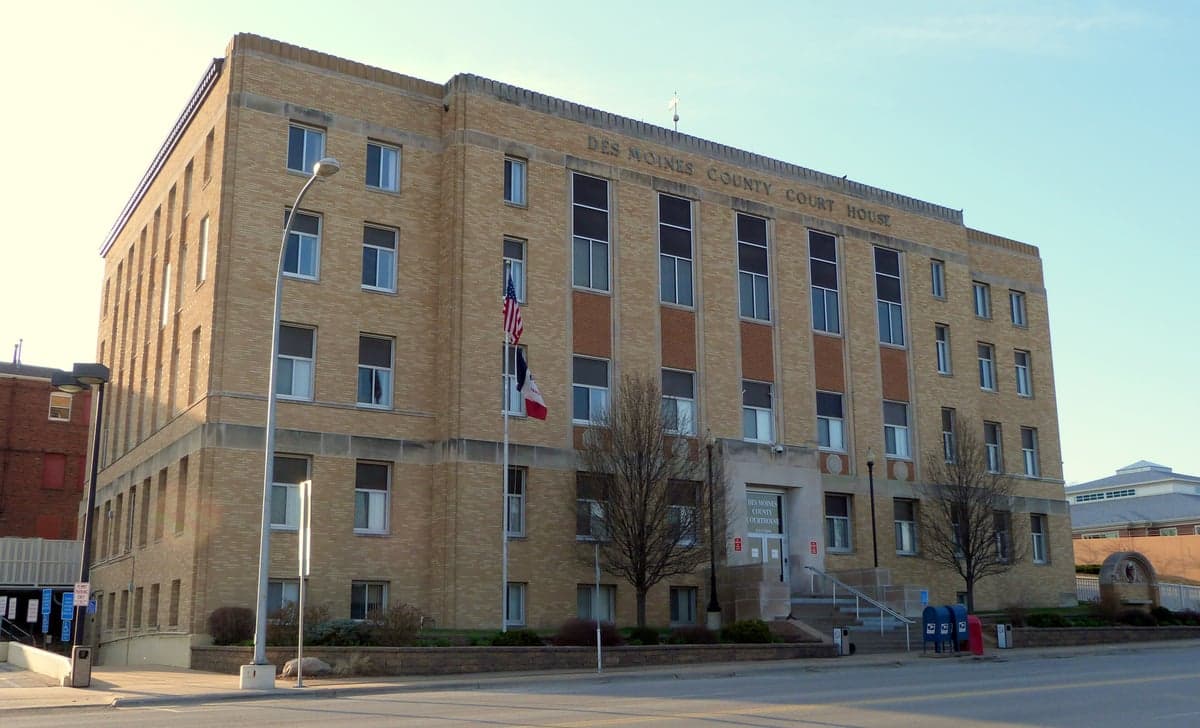
Photo: Wikipedia
Strategic Assessment of Des Moines County
Workable tactical position. Some exposure to population density or targets, but generally defensible in a crisis.
What does the Strategic Assessment tell us?
Our Strategic Assessment grades tactical survivability of an area. Major population centers, military targets, fallout zones, natural disasters, and border exposure all drive risk — lower exposure means a more defensible position in a crisis.
This is heavily inspired by Joel Skousen's Strategic Relocation book. Highly recommended you checkout the book ($)What does this tell us?
Our Strategic Assessment grades tactical survivability of an area. Major population centers, military targets, fallout zones, natural disasters, and border exposure all drive risk — lower exposure means a more defensible position in a crisis.
This is heavily inspired by Joel Skousen's Strategic Relocation book. Highly recommended you checkout the book ($)Strategic Pillars

Key Distances
Strategic Assessment Analysis
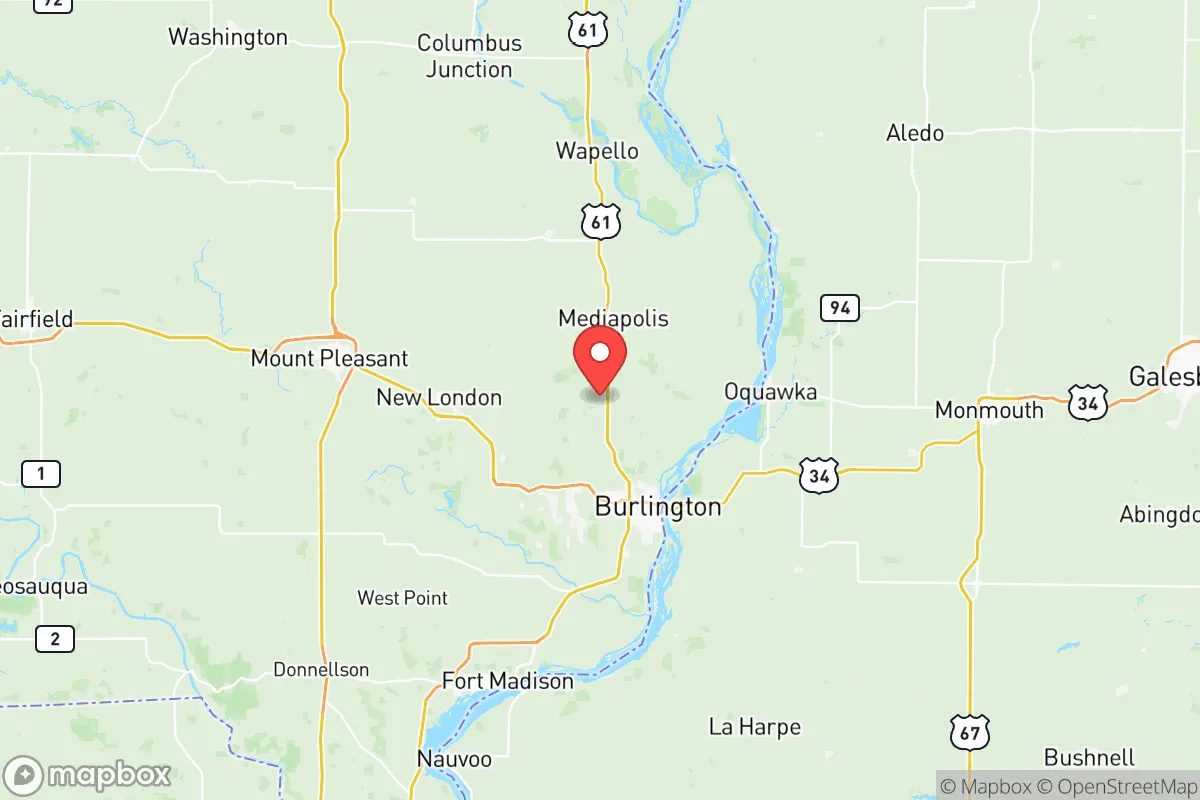
Des Moines County, anchored by Burlington, offers a strategic balance of isolation and access that appeals to those prioritizing long-term stability and self-reliance. Its position along the Mississippi River provides a natural defensive barrier to the east and a reliable water source, while its distance from major metropolitan targets—over 200 miles from Chicago, St. Louis, and Kansas City—reduces exposure to the immediate fallout of a major urban event. The county’s population of roughly 38,000 means you’re not invisible, but you’re far from the density that creates chaos in a crisis. For a relocator thinking in decades, not news cycles, this is a place where the land itself gives you a head start.
Geographic position and natural advantages for long-term security
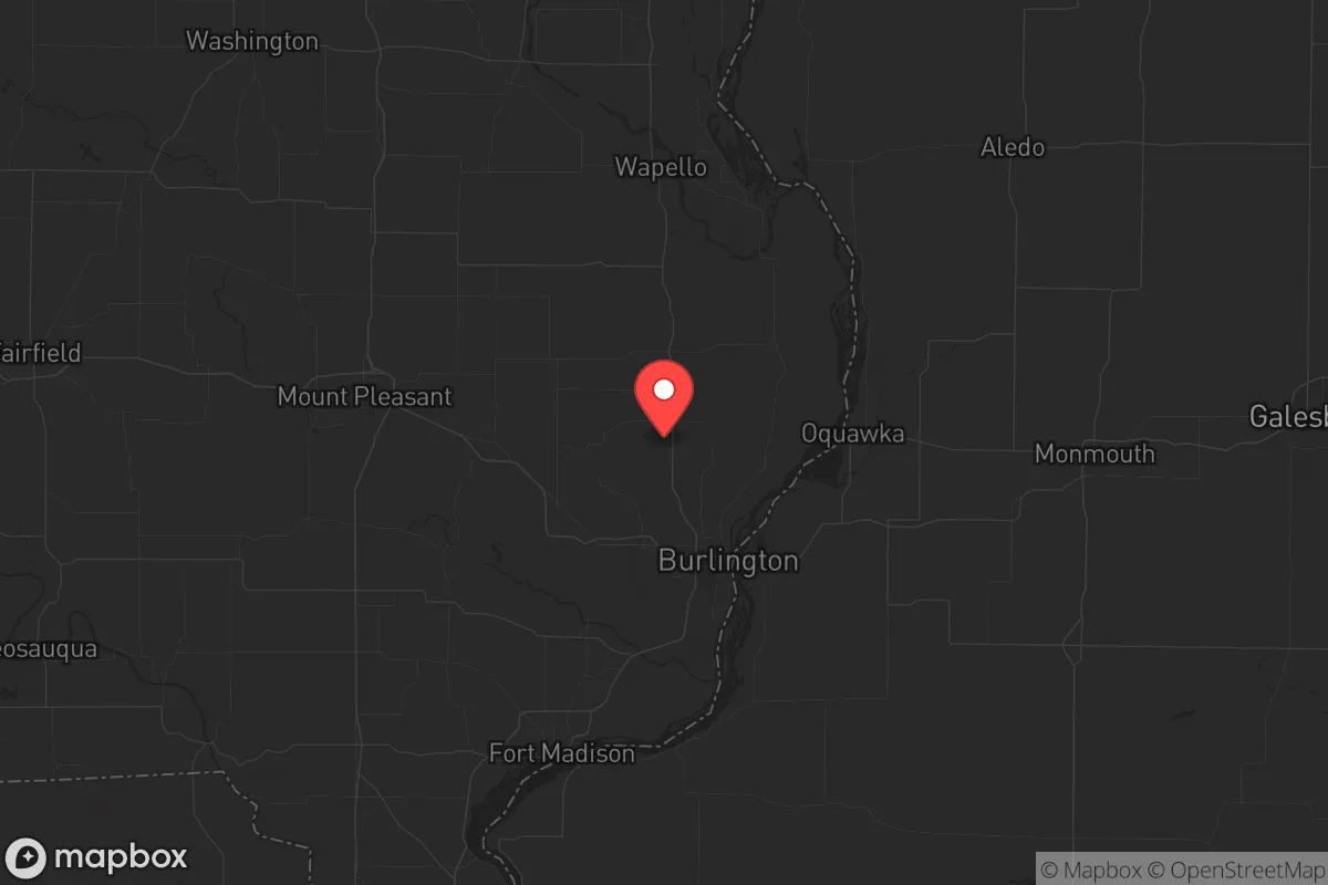
Des Moines County sits in southeast Iowa, with the Mississippi River forming its entire eastern border. This isn’t just scenic—it’s a strategic moat. The river limits approach vectors from the east and provides a massive, renewable water source that most inland counties lack. The terrain is rolling hills and wooded bluffs, not flat prairie, which offers natural cover and defensible high ground in areas like the bluffs above Burlington or near the Skunk River confluence. The county is part of the Driftless Zone’s southern edge, meaning the soil is decent for small-scale agriculture, and groundwater is accessible via wells in most rural parcels. Burlington itself sits on a natural harbor, the only deep-water port on the Upper Mississippi between the Quad Cities and St. Louis, which in a grid-down scenario could become a critical resupply chokepoint. The nearby towns of West Burlington, Mediapolis, and Danville provide smaller, less conspicuous nodes for resupply or relocation if Burlington becomes compromised.
Risks, exposures, and proximity to fallout-relevant landmarks
The primary risk is the Mississippi River itself—flooding is a recurring threat, with the 1993 and 2008 floods inundating large portions of Burlington’s riverfront and low-lying areas like the Port of Burlington industrial district. Any serious event that disrupts the lock and dam system (there are two within the county: Lock and Dam 18 above Burlington and Lock and Dam 19 below) could strand barge traffic and create a humanitarian bottleneck. More concerning for the prepper: the county is within 150 miles of the Quad Cities’ nuclear plants (Clinton and Quad Cities stations) and roughly 200 miles from the Omaha/Lincoln area, which hosts Offutt Air Force Base and USSTRATCOM. While not in the immediate blast zone, prevailing westerly winds could carry fallout from a strike on those targets. The county also sits near the intersection of two major rail lines (BNSF and Iowa Interstate) and Interstate 34/61 corridors, which in a crisis would become evacuation and supply routes—meaning you’ll want to be off the main arteries, not on them. There are no major military bases, refineries, or chemical plants within the county itself, which is a net positive for avoiding secondary targets.
Practical resilience for a relocator: food, water, energy, and defensibility
Water is the county’s strongest card. The Mississippi is a year-round, high-volume source, and the underlying Jordan Aquifer provides reliable well water at depths of 100-300 feet across most of the county. Burlington’s municipal water treatment plant draws from the river, but in a prolonged outage, rural properties with hand pumps or solar-powered well systems will have a decisive advantage. Food resilience is moderate: the county has active farmland, but it’s dominated by corn and soybeans for commodity markets, not diversified vegetable production. You’ll need to establish your own garden or network with the Amish and Mennonite communities in nearby Lee County or the Kalona area north of here—those groups are already practicing low-tech agriculture and barter economies. The county has several grain elevators and the Burlington Feed & Supply cooperative, which could become critical nodes for seed and animal feed. Energy-wise, the county is served by Alliant Energy, but the grid is aging and vulnerable to ice storms and flooding. Solar potential is decent (4.5-5 peak sun hours per day), and wood heating is viable given the extensive timber along the river bluffs. Defensibility is good for a rural county: the river and bluffs create natural chokepoints, and the county’s low population density means you can choose a property with good sightlines and limited road access. The Burlington Municipal Airport is a general aviation field that could be useful for exfiltration or supply drops, but it’s also a potential target for looters—better to have your own off-grid airstrip or be within walking distance of a rail spur.
The overall strategic picture for Des Moines County is one of calculated trade-offs. You get a defensible river position, abundant water, and distance from primary targets, but you trade that for flood risk, moderate agricultural self-sufficiency, and proximity to secondary fallout corridors from the Quad Cities and Omaha. For a single individual or family willing to invest in well drilling, solar panels, and a garden, this county offers a solid foundation without the extreme remoteness that makes supply runs impractical. The local culture is conservative-leaning but not insular—Burlington has a working-class, blue-collar ethos that values self-reliance and neighborly reciprocity. The county’s biggest weakness is its reliance on the Mississippi for transport and water; a major disruption to the river system would isolate the area, but that same isolation is what keeps it off the target list. If you’re looking for a place that’s not a fortress but gives you a fighting chance to ride out the next decade’s turbulence, Des Moines County deserves a hard look. Just buy above the flood line and keep a grain of salt handy for the river mud.
* Values derived from national, state, county, city and local statistics and may differ in a specific area. Last updated: 2026-05-28T01:27:25.000Z
Narrative content on this page is AI-generated and may contain mistakes. Verify any details that matter before acting on them.
ReloMaps may earn a commission from affiliate links at no extra cost to you.