
Photo: Wikipedia
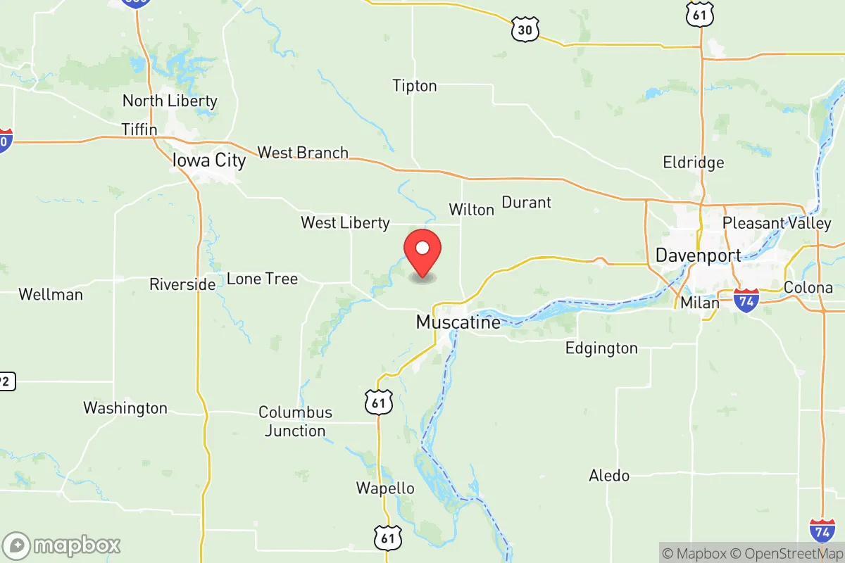
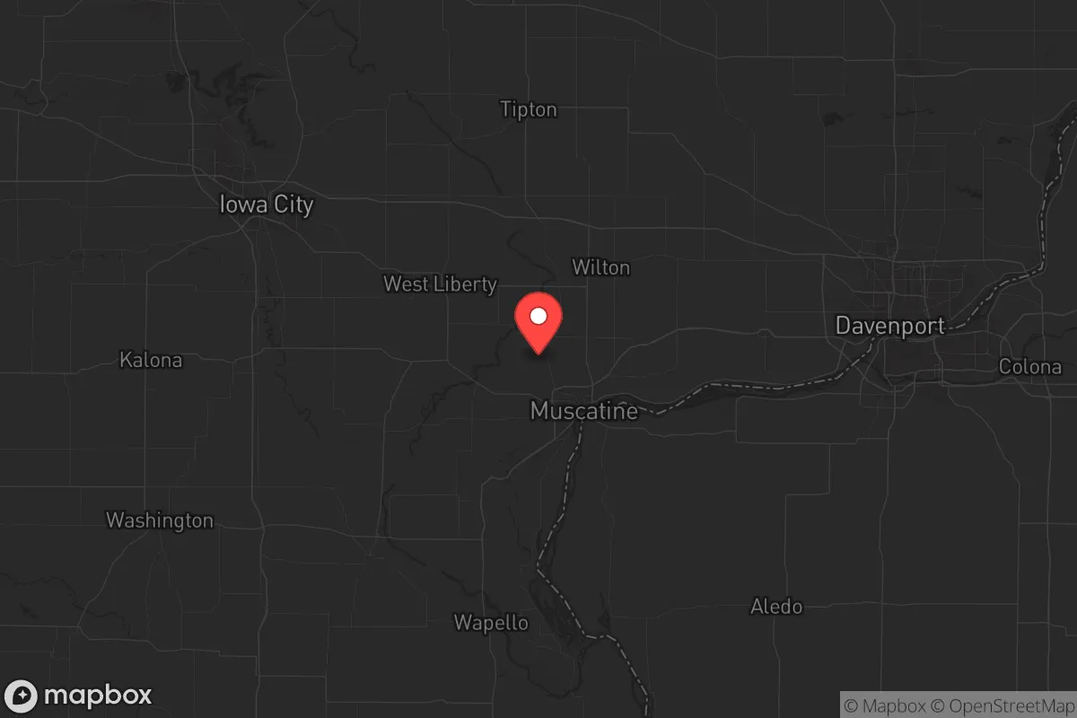
Strategic Assessment of Muscatine County
Workable tactical position. Some exposure to population density or targets, but generally defensible in a crisis.
What does the Strategic Assessment tell us?
Our Strategic Assessment grades tactical survivability of an area. Major population centers, military targets, fallout zones, natural disasters, and border exposure all drive risk — lower exposure means a more defensible position in a crisis.
This is heavily inspired by Joel Skousen's Strategic Relocation book. Highly recommended you checkout the book ($)What does this tell us?
Our Strategic Assessment grades tactical survivability of an area. Major population centers, military targets, fallout zones, natural disasters, and border exposure all drive risk — lower exposure means a more defensible position in a crisis.
This is heavily inspired by Joel Skousen's Strategic Relocation book. Highly recommended you checkout the book ($)Strategic Pillars

Key Distances
Strategic Assessment Analysis
Muscatine County, Iowa, sits in a sweet spot that most preppers overlook—close enough to the Mississippi River for serious logistical advantages, but far enough from the major urban blast zones that you aren't staring down a fallout plume on day one. The county's resilience comes from its blend of industrial capacity, agricultural self-sufficiency, and a population density low enough that you won't be fighting neighbors for supplies when things go sideways. For a conservative-minded relocator looking at long-term stability, this isn't a flashy pick, but it's a solid one—especially if you value being able to grow your own food, access fresh water, and keep a low profile while the coasts burn.
Geographic position and natural advantages for long-term stability
Muscatine County anchors the Iowa side of the Mississippi River, with the city of Muscatine itself sitting directly on the river's edge. That river is your ace in the hole—unlimited fresh water, a natural transportation corridor, and a fishery that can supplement your diet when supply chains collapse. The county's topography is classic Midwest: rolling hills, deep topsoil, and enough timber in the eastern parts to provide cover and fuel. You're roughly 30 miles from the Quad Cities (Davenport, Bettendorf, Rock Island, Moline), which is close enough to access medical and industrial resources in a pinch, but far enough that you won't catch the worst of any urban unrest. The county's position also puts you within a day's drive of Fort McCoy in Wisconsin and Camp Dodge in Iowa, both of which are National Guard hubs that could become staging areas during federal emergencies. The Mississippi River Valley here is wide and fertile—think of it as a natural breadbasket that's been producing food for over a century. If you're serious about self-sufficiency, the soil alone justifies a look.
Risks, exposures, and proximity to fallout-relevant landmarks
No place is a fortress, and Muscatine County has its share of liabilities. The biggest one is the Muscatine Industrial Corridor along the river, which hosts chemical plants, fertilizer facilities, and grain processing operations. A major accident or targeted attack on those facilities could release toxic plumes—especially the Grain Processing Corporation (GPC) plant, which handles volatile organic compounds. You'll want to know prevailing wind patterns (generally west-to-east) and plan your retreat accordingly. The county is also within 150 miles of the Quad Cities Nuclear Power Station in Cordova, Illinois—a boiling water reactor that's been operating since the 1970s. A meltdown or sabotage event there would put Muscatine County in the potential fallout zone, depending on wind direction. On the plus side, you're far from any major military target like Offutt Air Force Base (Omaha) or Scott Air Force Base (Illinois), both of which are about 200 miles away. The county's lack of a major interstate highway (I-80 runs north of the county, I-74 to the east) means it's not a primary evacuation route, which reduces the risk of being caught in mass refugee flows. But that same isolation cuts both ways—if you need to bug out, you're on two-lane roads that can clog fast.
Practical resilience for a relocator: food, water, energy, and defensibility
Water is your first win here. The Mississippi River is a year-round, high-volume source, and the county's aquifer is robust—most rural properties have wells that produce clean water at 20-40 feet. You'll want to test for agricultural runoff (nitrates from fertilizer are a real issue), but a basic filtration system solves that. Food security is strong: the county is among Iowa's top producers of corn and soybeans, and there are dozens of small farms selling direct to consumers. The Muscatine Farmers Market runs from May to October, but more importantly, you can find raw land for under $5,000 an acre in the southern and western parts of the county. For energy, the grid is reliable but vulnerable—ice storms in 2023 knocked out power for days in some rural areas. Solar is viable (you get about 200 sunny days a year), and wood heat is practical given the timber stands along the river bluffs. Defensibility is where Muscatine County shines: the terrain is open enough to give you good sightlines, but the river bluffs and wooded ravines offer natural chokepoints. The county's population is roughly 43,000, with most people clustered in Muscatine city proper. The rural towns—West Liberty, Wilton, Nichols, Stockton—are tiny (under 1,000 people each) and tend to be tight-knit, conservative communities where outsiders are viewed with suspicion until you prove yourself. That's a double-edged sword: you won't get help fast, but you also won't get unwanted attention if you keep your head down. The county sheriff's office is professional but understaffed—response times in rural areas can exceed 30 minutes. Plan to be your own first responder.
Overall, Muscatine County offers a balanced strategic picture for the prepper who wants industrial access without the urban bullseye. You've got water, soil, and a river that doubles as a trade route and a defensive barrier. The risks are real—chemical plants, a nuclear plant upwind, and the general vulnerability of the Midwest to tornadoes and ice storms—but they're manageable with good planning. The conservative culture here is genuine, not performative; people still hunt, fish, and can their own vegetables. If you're looking to relocate to a place where you can build a resilient life without being on anyone's radar, this county deserves a serious look. Just don't expect a warm welcome until you've helped a neighbor fix a fence or split firewood. That's how it works out here.
* Values derived from national, state, county, city and local statistics and may differ in a specific area. Last updated: 2026-05-12T11:13:28.000Z
Narrative content on this page is AI-generated and may contain mistakes. Verify any details that matter before acting on them.
ReloMaps may earn a commission from affiliate links at no extra cost to you.