
Photo: Wikipedia
Strategic Assessment of Warren County
Workable tactical position. Some exposure to population density or targets, but generally defensible in a crisis.
What does the Strategic Assessment tell us?
Our Strategic Assessment grades tactical survivability of an area. Major population centers, military targets, fallout zones, natural disasters, and border exposure all drive risk — lower exposure means a more defensible position in a crisis.
This is heavily inspired by Joel Skousen's Strategic Relocation book. Highly recommended you checkout the book ($)What does this tell us?
Our Strategic Assessment grades tactical survivability of an area. Major population centers, military targets, fallout zones, natural disasters, and border exposure all drive risk — lower exposure means a more defensible position in a crisis.
This is heavily inspired by Joel Skousen's Strategic Relocation book. Highly recommended you checkout the book ($)Strategic Pillars

Key Distances
Strategic Assessment Analysis
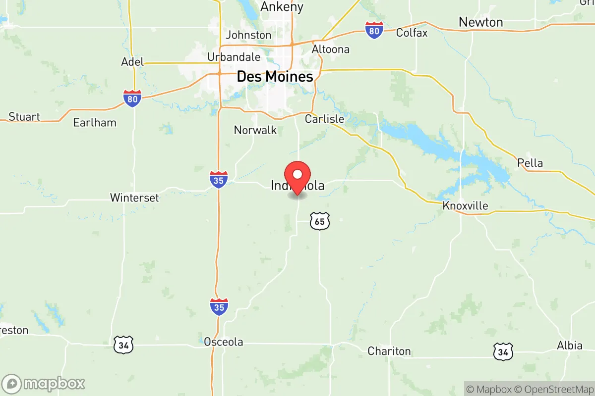
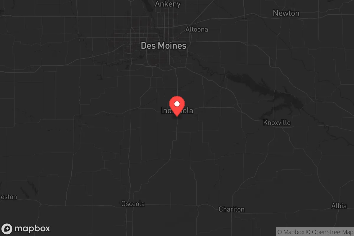
Warren County, Iowa, sits in a sweet spot that few relocators fully appreciate: close enough to Des Moines for supply runs and medical access, but far enough out that you aren't staring down the barrel of a major metro's collapse during a crisis. The county's population hovers around 53,000, with the largest town, Indianola, clocking in at roughly 16,000 people. That's small enough to know your neighbors, but large enough to have a functioning school system and a Walmart. For a conservative-leaning individual or family looking to plant roots in a place that can absorb shocks—economic, social, or otherwise—Warren County offers a blend of agricultural self-sufficiency, low population density, and strategic positioning that's hard to beat in the central Midwest.
Geographic position and natural advantages for long-term stability
Warren County sits about 12 miles south of Des Moines, which puts it just outside the blast radius of any major event targeting the state capital or its infrastructure. The county is bisected by the Des Moines River, which flows through the eastern edge near the town of Carlisle, providing a reliable freshwater source that doesn't depend on municipal treatment plants. The terrain is rolling hills and fertile farmland—think corn and soybeans as far as the eye can see—which means the land itself can produce food if supply chains get cut. The county's position in the Southern Iowa Drift Plain gives it decent drainage and fewer flood risks than bottomland areas. For a prepper, that's a big deal: you can dig a well, plant a garden, and not worry about your basement turning into a swimming pool every spring. The climate is four-season, with cold winters that naturally slow down disease vectors and hot summers that support a long growing season. No coastal storm surges, no earthquake faults, no wildfire corridors. It's boring, and that's the point.
Risks, exposures, and proximity to fallout-relevant landmarks
No place is a fortress, and Warren County has its share of vulnerabilities. The biggest risk is proximity to Des Moines—roughly 20 miles from the county seat of Indianola to the city center. If a major civil unrest event or EMP strike hits the metro area, you're looking at potential refugee flow south along Highway 65/69 and Interstate 35, both of which cut through the county. The Des Moines International Airport is about 15 miles north of the county line, and while it's not a major military target, it's a logical choke point for any federal response. More concerning is the Iowa Army Ammunition Plant in Middletown, about 30 miles southeast in Des Moines County—that's a legitimate secondary target in a conflict scenario. On the plus side, Warren County has no major refineries, no nuclear power plants (the closest is Duane Arnold in Palo, 50 miles north, which is decommissioned), and no major military bases. Camp Dodge in Johnston is about 25 miles north, but it's a National Guard training site, not a strategic command center. The county's biggest industrial exposure is the Pella Corporation plant in Pella (Marion County), about 20 miles east—a window and door manufacturer, not exactly a high-value target. For a relocator, the calculus is simple: you're far enough from the big stuff to survive the initial shock, but close enough that you'll see the fallout (literal and figurative) within a day or two.
Practical resilience for a relocator: food, water, energy, and defensibility
This is where Warren County shines for the serious prepper. The county is over 90% farmland, meaning you can buy a few acres without breaking the bank—land prices in 2025 averaged around $8,000–$12,000 per acre, far cheaper than anything in Colorado or Texas. Water access is straightforward: the Des Moines River runs through the eastern townships, and the water table is shallow enough that a hand-dug well or a driven point well can hit potable water at 30–50 feet in most areas. The county has no municipal water restrictions that would matter in a crisis; if you own the land, you can drill. For energy, the grid is served by MidAmerican Energy, which has a mix of coal, wind, and natural gas. But the real play is off-grid: solar panels work fine here (average 200 sunny days per year), and wood-burning stoves are common in rural homes. The county's rural nature means defensible positions are easy to find—a farmhouse set back a quarter-mile from a gravel road, with fields of fire in every direction, is the norm, not the exception. The nearest major medical center is MercyOne Des Moines Medical Center, about 20 minutes from Indianola, but the county has its own hospital, UnityPoint Health – Indianola, which can handle trauma and basic surgery. For food, the county has multiple farmers' markets, a strong network of local meat processors (including L & M Meats in Indianola), and enough deer to keep a family in venison year-round. The Amish and Mennonite communities in neighboring counties (especially around Kalona, 30 miles east) are a resource for off-grid skills and barter goods.
The overall strategic picture for Warren County is one of calculated moderation. It's not a bug-out location in the mountains, and it's not a fortified compound in the desert. What it offers is a sustainable, low-profile base of operations within a day's drive of major resources (Des Moines, Omaha, Kansas City) but insulated from the worst of their collapse scenarios. The county's political leanings are reliably conservative—Warren County voted +18 for Trump in 2024, with strong support for Second Amendment rights and local control—which means you're likely to find neighbors who share your worldview on preparedness and self-reliance. The downsides are real: winter storms can knock out power for days, the nearest major military base (Fort Riley, Kansas) is 200 miles away, and the Des Moines metro could become a liability in a prolonged crisis. But for a family or individual who wants to be ready for the next decade's uncertainties without living in a bunker, Warren County hits the mark. It's a place where you can quietly build your capability, raise your kids in a community that still does 4-H and church potlucks, and sleep reasonably well knowing you're not on anyone's target list. That's worth a lot in 2026.
* Values derived from national, state, county, city and local statistics and may differ in a specific area. Last updated: 2026-05-16T20:23:55.000Z
Narrative content on this page is AI-generated and may contain mistakes. Verify any details that matter before acting on them.
ReloMaps may earn a commission from affiliate links at no extra cost to you.