
Photo: Wikipedia
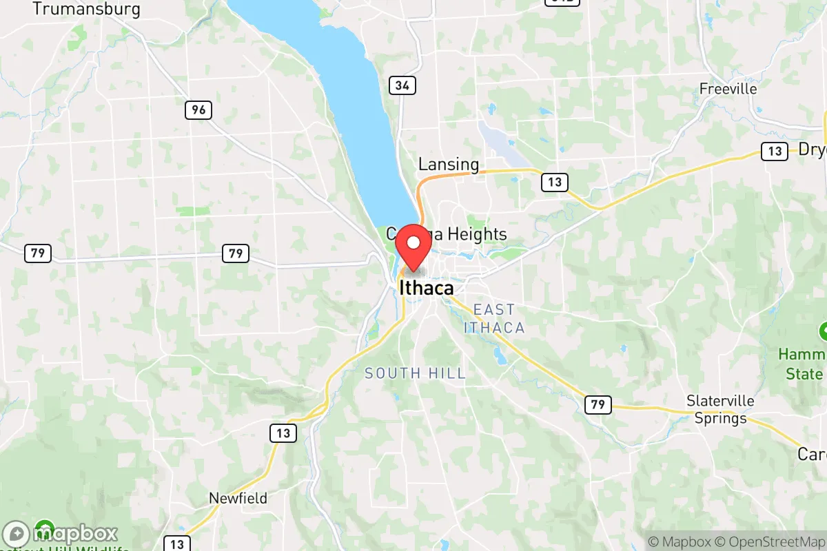
Strategic Assessment of Ithaca, NY
Multiple tactical vulnerabilities. Population density, target proximity, or disaster risk are likely compounding. A retreat property and exit planning is required.
What does the Strategic Assessment tell us?
Our Strategic Assessment grades tactical survivability of an area. Major population centers, military targets, fallout zones, natural disasters, and border exposure all drive risk — lower exposure means a more defensible position in a crisis.
This is heavily inspired by Joel Skousen's Strategic Relocation book. Highly recommended you checkout the book ($)What does this tell us?
Our Strategic Assessment grades tactical survivability of an area. Major population centers, military targets, fallout zones, natural disasters, and border exposure all drive risk — lower exposure means a more defensible position in a crisis.
This is heavily inspired by Joel Skousen's Strategic Relocation book. Highly recommended you checkout the book ($)Strategic Pillars

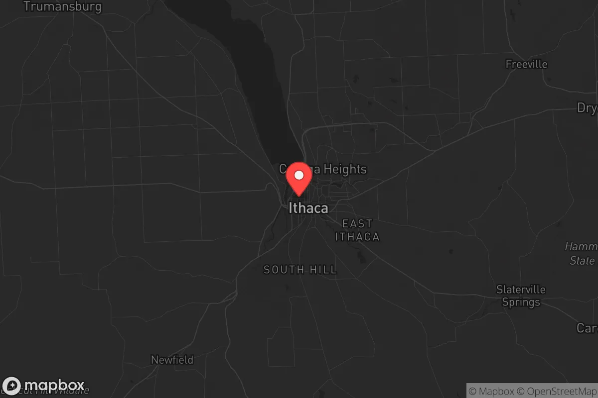
Key Distances
Regional Safe Places
Below is our recommended "safe zones" in New York and the surrounding area based on our strategic heuristics. For most people, it's unrealistic to live in a “safe zone” full-time due to work, family or other personal reasons. They tend to be more rural. However, many of these areas are perfect for second homes and retreat properties that double as a vacation home or even a short-term rental.


Important Note: For informational purposes only. This does not mean nothing bad ever happens in the green zones. Please use common sense. This is based on public data and modeled with AI. We tried to take a conservative approach but mistakes happen. We update this regularly as new information becomes available.
Solar Generator Recommendations
Backup power matters more here than in safer locations. We've picked three solar generators across budgets and capacity tiers — start with the budget unit if you only need a few essentials, or step up if you want to run a fridge and HVAC for days at a time.

Jackery Portable Power Station Explorer 300
Budget OptionPower on the Go: Weighing only 11 lbs, it's convenient to set up and store with book-sized foldable solar panels

BLUETTI Portable Power Station AC180
Designed for both indoor and outdoor scenarios, AC180 is highly capable as it has a robost capacity and continuous output power.

EF ECOFLOW DELTA Pro Ultra Power Station
Upgraded PickEcoFlow DELTA Pro Ultra is a whole-home energy system designed to grow with your family. Integrated with the Smart Home Panel 2, it scales to meet your evolving energy needs — keeping your home powered, intelligent, and secure through every stage of life.
We earn a commission, at no additional cost to you.
Strategic Assessment Analysis
Ithaca, New York, sits in a geographic sweet spot that offers genuine strategic depth for those thinking long-term about resilience, but it comes with trade-offs that demand clear-eyed assessment. Nestled at the southern tip of Cayuga Lake in the Finger Lakes region, Ithaca is roughly 225 miles from New York City and 150 miles from Buffalo, placing it far enough from major urban centers to avoid the immediate blast radius of a high-value target, yet close enough that secondary effects—refugee flows, supply chain disruptions, and civil unrest—could reach the area within days. The city’s position in Tompkins County, surrounded by rolling hills, deep gorges, and extensive state forest land, provides natural choke points and defensible terrain that few other upstate locations can match. For a relocator weighing long-term viability against exposure, Ithaca offers a rare combination of isolation and access, but the devil is in the details of what lies nearby and what risks that proximity carries.
Geographic position and natural advantages for long-term survival
Ithaca’s location is defined by its relationship to water and elevation. Cayuga Lake, the longest of the Finger Lakes at 38 miles, provides a massive freshwater reservoir that is less vulnerable to contamination than smaller bodies of water—its depth (over 400 feet in places) means thermal stratification keeps the deep water cold and relatively stable, even in a prolonged power outage. The surrounding landscape is a patchwork of steep valleys, forested ridges, and farmland, with the Finger Lakes National Forest and several state forests (like Hammond Hill and Shindagin Hollow) within a 30-minute drive. This terrain creates natural defensibility: the gorges and hills funnel movement along predictable routes, and the lack of major interstate highways (I-81 is 40 miles east, I-90 is 30 miles north) means that any large-scale movement of people or goods would be slow and channeled. For a prepper, this is a double-edged sword—it makes ingress difficult for threats, but also for resupply. The area’s agricultural base is solid but not overwhelming: Tompkins County has about 400 farms, mostly dairy, vegetables, and orchards, but the county is a net food importer, meaning local production alone couldn’t sustain the population for more than a few months without outside inputs. Still, the combination of lake water, forest resources, and moderate climate (growing season roughly 150 days) gives a relocator a workable foundation for subsistence if they arrive with skills and supplies.
Risks, exposures, and proximity to fallout-relevant landmarks
The most significant strategic liability for Ithaca is its proximity to infrastructure that could become a target or a source of secondary disaster. The New York Independent System Operator (NYISO) lists several high-voltage transmission lines running through Tompkins County, including the 345 kV line that connects the region to the statewide grid. A coordinated attack on the grid—whether from EMP, cyber, or physical sabotage—could take down power for weeks or months, and Ithaca’s reliance on that grid is near-total. There are no major natural gas storage fields or large-scale backup generators in the immediate area. More concerning is the proximity to the Ginna Nuclear Power Plant, located 50 miles northeast in Wayne County on Lake Ontario. While 50 miles is outside the typical 10-mile emergency planning zone, prevailing winds from the west and northwest could carry fallout into the Finger Lakes region in a worst-case scenario. Additionally, the Seneca Army Depot, 30 miles north in Romulus, is a former nuclear weapons storage site that still contains some classified materials and infrastructure—a potential target for sabotage or looting in a breakdown scenario. The city of Ithaca itself is a liberal college town (Cornell University and Ithaca College dominate the local economy and culture), which means that in a crisis, the population could be less inclined toward self-reliance and more likely to depend on government aid, potentially straining local resources. The presence of 20,000+ students who would likely evacuate home or become dependent on local food banks adds a demographic vulnerability that a relocator should factor into their planning.
Practical resilience for a relocator: food, water, energy, and defensibility
For a relocator serious about self-sufficiency, Ithaca offers a mixed bag. Water access is excellent: Cayuga Lake is potable with basic filtration, and the numerous creeks and gorges (like Fall Creek and Cascadilla Creek) provide year-round surface water, though they freeze in winter. The city’s municipal water system draws from the lake and is treated, but in a grid-down scenario, the pumps would fail within hours. A well on private property outside city limits is the gold standard, and many rural properties in Tompkins County have them, though drilling depths vary (typically 100-300 feet). Food production is viable but not automatic: the growing season is short, and the soil in the hills is thin and rocky in places, requiring raised beds or greenhouse investment. The local food co-op (GreenStar) and farmers’ markets are robust in normal times, but would be stripped within days of a crisis. Energy resilience is the weak point. Solar potential is moderate (about 4.2 peak sun hours per day, similar to Seattle), but winter cloud cover and snow accumulation reduce output significantly. Wood heating is the most practical backup—the area is heavily forested, and many homes have wood stoves or fireplaces, but a relocator should verify this before buying. Defensibility is strong for a rural property: the hills and gorges create natural barriers, and the low population density (about 150 people per square mile in the county, but much lower outside the city) means fewer eyes on your movements. However, the lack of a strong local militia or organized preparedness culture (compared to, say, rural Idaho or Montana) means you’d largely be on your own. The nearest major medical facility is Cayuga Medical Center in Ithaca, a 200-bed hospital that would be overwhelmed in a mass casualty event—plan for trauma care at home.
The overall strategic picture for Ithaca is one of high potential but high dependency. The natural advantages—lake water, defensible terrain, moderate climate, and distance from primary targets—are real and should not be dismissed. But the region’s reliance on a fragile grid, its proximity to nuclear infrastructure, and its demographic profile as a left-leaning college town create vulnerabilities that a conservative prepper must account for. If you can secure a rural property with a well, solar panels, wood heat, and a year’s worth of supplies, Ithaca could serve as a viable long-term retreat—especially if you’re willing to trade the security of a like-minded community for the benefits of isolation and natural resources. But if you’re looking for a place where neighbors share your worldview and local government is predisposed to self-reliance, you’ll find more alignment in the rural Midwest or Intermountain West. Ithaca is a strategic compromise: strong on geography, weak on culture and infrastructure. For a single individual or family willing to invest heavily in hardening their property and building their own networks, it’s worth a serious look. For those seeking a turnkey solution, look elsewhere.
* Values derived from national, state, county, city and local statistics and may differ in a specific area. Last updated: 2026-04-23T02:47:19.000Z
Narrative content on this page is AI-generated and may contain mistakes. Verify any details that matter before acting on them.
ReloMaps may earn a commission from affiliate links at no extra cost to you.