Photo: Wikipedia
Demographics of Joplin, MO
Affluence Level in Joplin, MO
A low-income area with significant economic hardship. Household wealth and educational attainment are well below national averages.
People of Joplin, MO
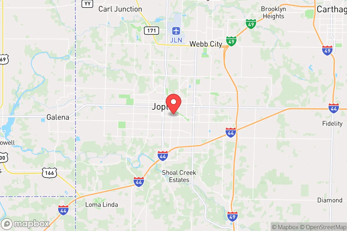
The people of Joplin, Missouri, today number 52,218, forming a predominantly white (82.0%) and native-born community with a notably low foreign-born share of just 2.2%. The city’s identity is shaped by its history as a rugged mining and railroad hub, a character that persists in its independent, conservative-leaning culture and a population density of roughly 1,200 people per square mile. Joplin is less diverse than the national average, with a Hispanic population of 6.4%, a Black population of 2.7%, and small but distinct Indian (1.1%) and East/Southeast Asian (0.9%) communities. This is a place where the past—boom-and-bust extraction, tornado recovery, and Ozarks self-reliance—still echoes in the neighborhoods and the people who call them home.
How the city was settled and grew
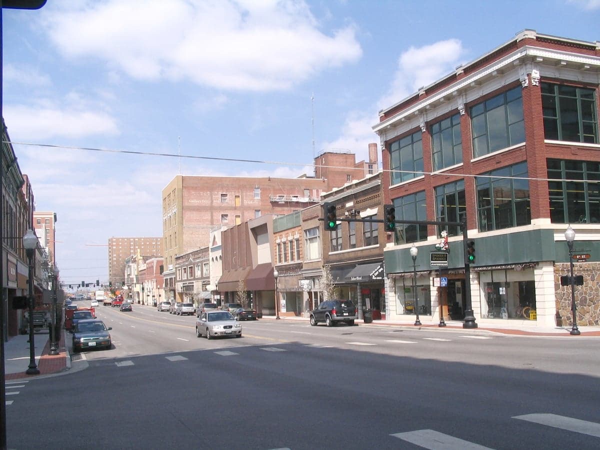
Joplin’s population story begins not with farming or colonial settlement but with a mineral rush. The discovery of lead and zinc in the 1840s and 1850s drew a wave of white American prospectors, mostly from the Upper South and Appalachia, who established the original mining camps that became the city. By the 1870s, the arrival of the railroad—specifically the Missouri-Kansas-Texas line—transformed Joplin from a camp into a boomtown. The East Town neighborhood, near the original smelters, became the early working-class heart of the city, settled by Cornish and Irish miners who brought hard-rock expertise. Meanwhile, West Central (around Main Street) developed as the commercial and civic core, housing the merchants, bankers, and railroad men who profited from the ore. A smaller but notable wave of Italian and Eastern European immigrants arrived in the 1890s-1910s, settling in the Murphysburg district, a historic residential area of Victorian homes built by the city’s elite and their immigrant laborers. By 1900, Joplin’s population had surged past 25,000, making it the largest city in southwest Missouri. The mining economy collapsed after World War I, but the population stabilized as manufacturing and healthcare replaced extraction, with the city remaining overwhelmingly white and native-born through the mid-20th century.
Modern era (post-1965)
Post-1965 immigration reforms had a muted effect on Joplin compared to larger metros. The city’s foreign-born population remains tiny at 2.2%, and its racial composition has shifted only modestly. The most significant demographic change has been the growth of the Hispanic population, now 6.4%, driven by domestic in-migration from Texas and the Southwest for work in construction, poultry processing, and manufacturing. These families have concentrated in the South Joplin area, particularly around 32nd Street and Maiden Lane, where a small but visible cluster of Mexican restaurants and tiendas has emerged. The Black population, at 2.7%, is historically rooted in the East Town neighborhood, which was the site of Joplin’s pre-Civil Rights era Black business district; today, Black residents are more dispersed across the city, though East Town retains a cultural anchor in the George Washington Carver National Monument nearby. The Indian subcontinent community (1.1%) and East/Southeast Asian community (0.9%) are recent arrivals, largely professionals drawn to Joplin’s healthcare sector—Mercy Hospital and Freeman Health System are the city’s largest employers. These groups are concentrated in Northpark and the newer subdivisions near the hospital complexes, not in historic ethnic enclaves. The 2011 EF5 tornado, which destroyed a third of the city, reshaped population distribution: the hardest-hit area, St. John’s Regional Medical Center and surrounding neighborhoods, saw a mix of rebuilding and out-migration, while newer subdivisions on the city’s south and west edges absorbed growth.
The future
Joplin’s population is slowly diversifying, but the pace is glacial. The white share has declined from roughly 90% in 1990 to 82% today, with Hispanic growth accounting for most of the shift. The Indian and East/Southeast Asian populations are growing from a very small base, driven by medical residency programs and regional hospital hiring, but they remain below 2% combined. The city is not tribalizing into distinct ethnic enclaves; rather, it is homogenizing around a white, native-born majority with small, dispersed minority communities. The foreign-born share is unlikely to rise sharply, as Joplin lacks the industrial agriculture or tech sectors that drive immigration in other parts of Missouri. The next 10-20 years will likely see continued slow Hispanic growth, a plateauing of the Black population, and modest increases in Asian and Indian populations tied to healthcare. The city’s overall population is stable, with a slight upward trend driven by retirees and remote workers seeking lower costs and a slower pace.
For someone moving in now, Joplin offers a predominantly white, conservative community with a strong sense of local identity rooted in its mining and tornado-survival history. The city is becoming slightly more diverse, but remains one of the least foreign-born metros in the U.S. Newcomers will find a place where neighborhoods like East Town and South Joplin retain distinct historical character, but where the overall demographic trajectory is one of slow, incremental change rather than rapid transformation.
* Values derived from national, state, county, city and local statistics and may differ in a specific area. Last updated: 2026-04-30T04:56:16.000Z
Narrative content on this page is AI-generated and may contain mistakes. Verify any details that matter before acting on them.
ReloMaps may earn a commission from affiliate links at no extra cost to you.