
Photo: Wikipedia
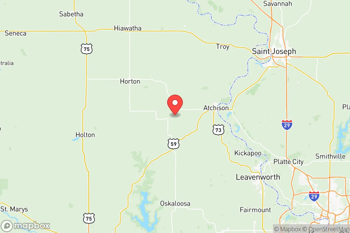
Strategic Assessment of Atchison County
Strong survivability profile. Good buffer from population centers, with manageable environmental and tactical risks.
What does the Strategic Assessment tell us?
Our Strategic Assessment grades tactical survivability of an area. Major population centers, military targets, fallout zones, natural disasters, and border exposure all drive risk — lower exposure means a more defensible position in a crisis.
This is heavily inspired by Joel Skousen's Strategic Relocation book. Highly recommended you checkout the book ($)What does this tell us?
Our Strategic Assessment grades tactical survivability of an area. Major population centers, military targets, fallout zones, natural disasters, and border exposure all drive risk — lower exposure means a more defensible position in a crisis.
This is heavily inspired by Joel Skousen's Strategic Relocation book. Highly recommended you checkout the book ($)Strategic Pillars

Key Distances
Strategic Assessment Analysis
Atchison County, Kansas, offers a compelling mix of frontier resilience and strategic positioning for those looking to put distance between themselves and the chaos of major metropolitan areas. Sitting along the Missouri River in the northeastern corner of the state, this county provides a buffer from the worst of coastal and urban collapse scenarios while still maintaining access to critical infrastructure. For a relocator with a prepper mindset, the key question isn’t whether Atchison County is perfect—it’s whether its specific mix of isolation, resources, and risks aligns with your personal threat model.
Geographic position and natural advantages for long-term security
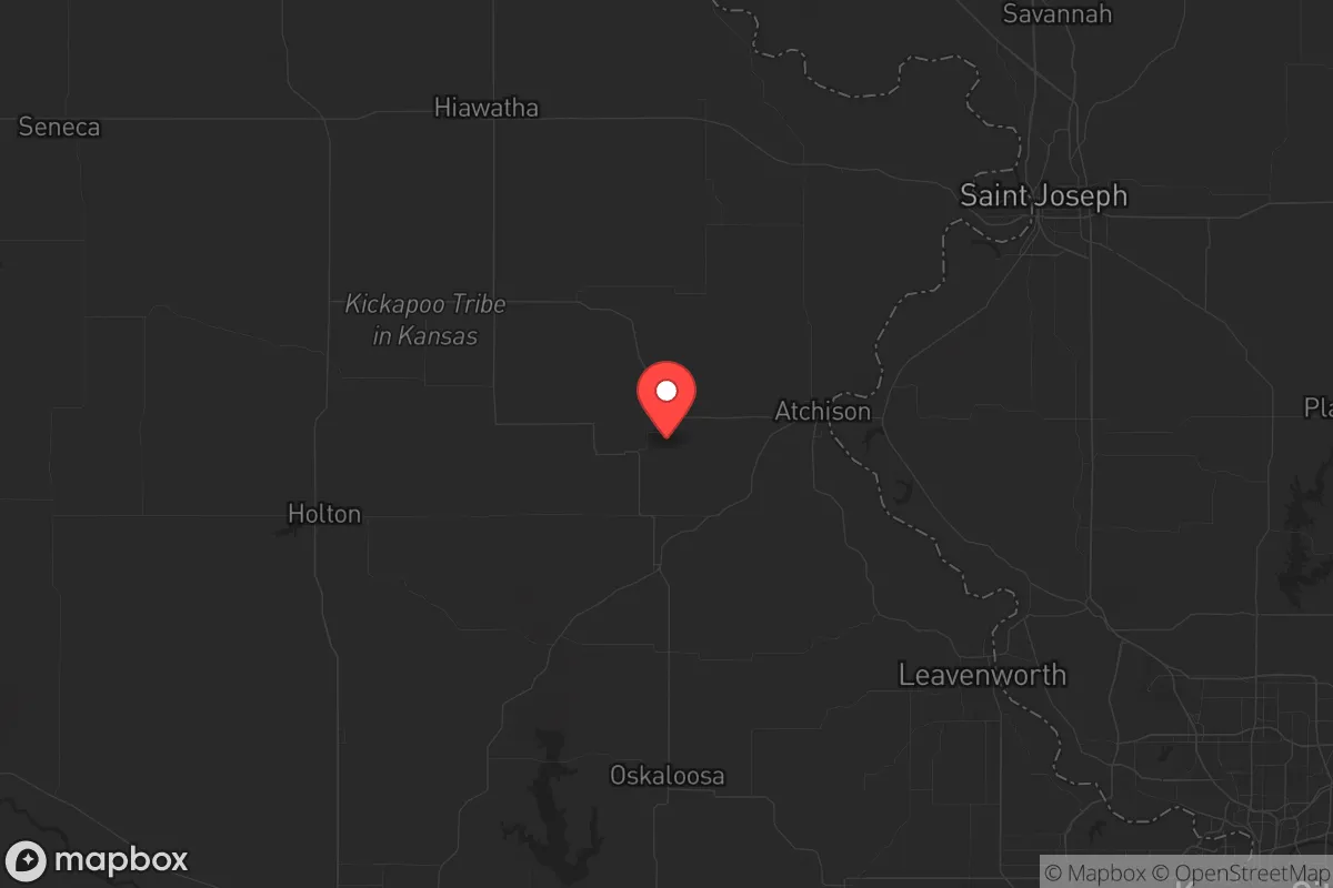
Atchison County’s location is its strongest card. The county seat, Atchison, sits roughly 45 miles northwest of Kansas City, Missouri—close enough to tap into regional supply chains and medical facilities in a pinch, but far enough that you won’t be caught in the initial crush of a city evacuation. The Missouri River forms the county’s eastern border, providing a natural water source and a defensible boundary against movement from the east. The terrain is rolling hills and fertile river bottoms, not flat prairie, which offers some concealment and microclimate advantages for food production. The county’s position also places it outside the direct fallout zones of major strategic targets like Whiteman Air Force Base (home to the B-2 bomber fleet, about 90 miles south) or the nuclear research facilities at the University of Missouri in Columbia. For a conservative-leaning relocator, this means you’re not living under the shadow of a first-strike target, but you’re still within a day’s drive of the Midwest’s agricultural heartland and the Missouri River’s barge traffic—a lifeline if rail and trucking break down.
Risks, exposures, and proximity to fallout-relevant landmarks
No location is risk-free, and Atchison County has a few hard realities to face. The most obvious is the Kansas City metropolitan area to the south—a population center of over 2 million people. In a major civic unrest or disaster scenario, that population could push north along U.S. Highway 73 and U.S. Highway 59, both of which run directly through Atchison County. The county’s proximity to the Fort Leavenworth military installation (about 20 miles southeast) is a double-edged sword. On one hand, it means a significant federal presence and potential security zone; on the other, it makes the area a target for any adversary looking to disrupt U.S. military command and logistics. The Atchison County airport is small and not a likely target, but the nearby Kansas City International Airport (MCI) is a different story—it’s a major cargo and passenger hub that could see secondary effects from any attack on the city. There are no refineries or nuclear plants within the county itself, but the Kansas City industrial corridor includes chemical plants and rail yards that could produce hazardous plumes if compromised. The Missouri River itself is a flood risk—the 2019 floods devastated parts of the county, and climate models suggest more frequent high-water events. For a prepper, this means your retreat property needs to be on high ground, preferably west of the river bluffs.
Practical resilience for a relocator: food, water, energy, and defensibility
Atchison County scores well on the basics of long-term survival. Water is abundant: the Missouri River is a year-round source, and the county’s groundwater is generally good quality, though you’ll want to test for agricultural runoff. The Atchison Water Treatment Plant serves the city, but rural properties rely on wells—a solid choice if you have a hand pump or solar-powered backup. Food production is viable here. The county is part of the Kansas breadbasket, with corn, soybeans, and wheat as major crops. Small-scale farming is feasible, and the local Atchison Farmers Market (seasonal) and regional co-ops can provide seed stock and livestock. For energy, the county is served by Evergy, but grid reliability is average—winter ice storms and summer storms can knock out power for days. Solar is a smart investment, as the region gets about 200 sunny days per year. Wood heating is also practical, given the timber along the river bluffs. Defensibility is mixed. The county’s rural nature means you can find isolated properties with good lines of sight, but the river valley also creates natural chokepoints. The Atchison County Sheriff’s Office is small (roughly a dozen deputies), so in a prolonged crisis, you’re largely on your own. The local population is about 16,000, spread across the city of Atchison and smaller towns like Effingham and Muscotah. This low density is an advantage—fewer people means less competition for resources, but it also means fewer potential allies. Building a mutual assistance network with like-minded neighbors is critical here.
Overall strategic picture for the conservative relocator
Atchison County is not a bug-out location for the end of the world—it’s a place to build a sustainable, low-profile life that can weather most storms short of a full societal collapse. Its proximity to Kansas City is both its greatest vulnerability and its greatest practical asset: you can access urban resources now, but you must plan for the day those resources become liabilities. The county’s agricultural base, water access, and low population density make it a strong candidate for a family or individual looking to step off the grid without stepping off the map entirely. The conservative culture is present but not overwhelming—the county leans Republican, but the city of Atchison has a Benedictine college and a historic liberal arts tradition, so you’ll find a mix of viewpoints. For the prepper who values self-reliance, community, and a buffer from the coast, Atchison County is a solid, if unglamorous, choice. Just don’t expect to be invisible—the river and the highways make it a corridor, not a fortress. Plan accordingly, and you’ll be in a position to ride out the next decade with fewer headaches than most.
* Values derived from national, state, county, city and local statistics and may differ in a specific area. Last updated: 2026-05-29T10:03:32.000Z
Narrative content on this page is AI-generated and may contain mistakes. Verify any details that matter before acting on them.
ReloMaps may earn a commission from affiliate links at no extra cost to you.