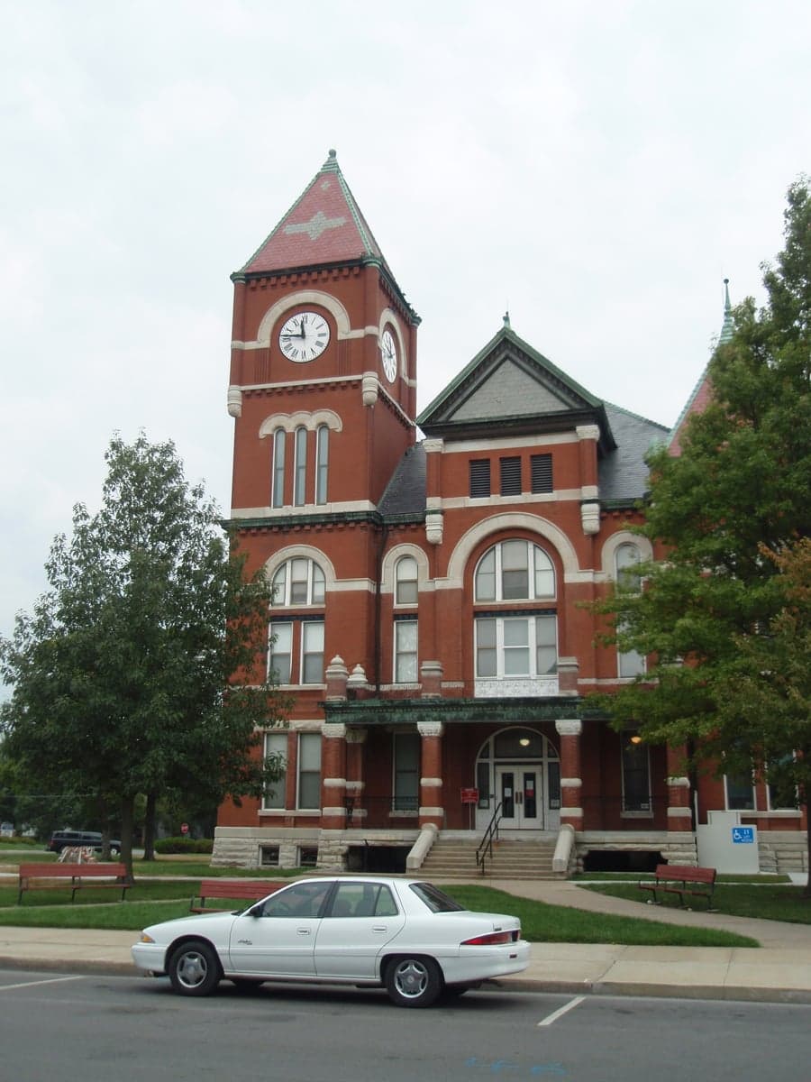
Photo: Wikipedia
Strategic Assessment of Miami County
Workable tactical position. Some exposure to population density or targets, but generally defensible in a crisis.
What does the Strategic Assessment tell us?
Our Strategic Assessment grades tactical survivability of an area. Major population centers, military targets, fallout zones, natural disasters, and border exposure all drive risk — lower exposure means a more defensible position in a crisis.
This is heavily inspired by Joel Skousen's Strategic Relocation book. Highly recommended you checkout the book ($)What does this tell us?
Our Strategic Assessment grades tactical survivability of an area. Major population centers, military targets, fallout zones, natural disasters, and border exposure all drive risk — lower exposure means a more defensible position in a crisis.
This is heavily inspired by Joel Skousen's Strategic Relocation book. Highly recommended you checkout the book ($)Strategic Pillars

Key Distances
Strategic Assessment Analysis
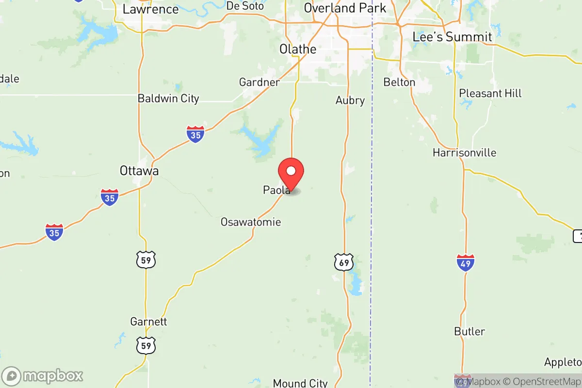
Miami County, Kansas, offers a compelling strategic position for relocators prioritizing resilience and self-sufficiency, balancing proximity to the Kansas City metro with the practical advantages of rural living. Located roughly 40 miles southwest of downtown Kansas City and 30 miles south of the Kansas City International Airport, the county provides a buffer from dense urban vulnerabilities while maintaining access to regional infrastructure. Its seat, Paola, and the larger town of Osawatomie anchor a community that has historically weathered economic shifts and natural events, making it a viable option for those assessing long-term stability and disaster readiness.
Geographic position and natural advantages for long-term stability
Miami County sits at the edge of the Osage Plains, a region characterized by rolling hills, fertile river valleys, and a moderate climate that avoids the extremes of tornado alley's core. The Marais des Cygnes River flows through the county, providing a reliable water source that supports both agriculture and municipal supplies. This river, along with smaller tributaries like Bull Creek and Pottawatomie Creek, creates a network of riparian corridors that enhance local biodiversity and offer natural floodplain buffers. The county's elevation, averaging around 900 feet, reduces the risk of catastrophic flooding compared to low-lying areas along the Missouri River. For a relocator focused on self-sufficiency, the area's agricultural capacity is a key asset: Miami County ranks among the top corn and soybean producers in the state, with over 150,000 acres of cropland. This local food production base, combined with the presence of the Hillsdale Lake and the Miami County State Fishing Lake, provides both recreational and emergency water reserves. The county's position also places it outside the immediate blast and fallout zones of major strategic targets like Whiteman Air Force Base (about 80 miles southeast) or the Kansas City metropolitan area's industrial corridors, offering a meaningful buffer for those concerned with man-made risks.
Risks, exposures, and proximity to fallout-relevant landmarks
While Miami County avoids the highest-risk zones, it is not immune to natural and man-made hazards. The county lies within the region historically affected by tornadoes, with an average of 12 tornado warnings per year, though direct hits are rare. The 2003 tornado that struck the town of Franklin serves as a local reminder of the need for storm shelters and preparedness. Flooding along the Marais des Cygnes River is a periodic concern, particularly in low-lying areas near Paola and Osawatomie, where the river has exceeded flood stage multiple times in the past decade. For those assessing man-made risks, the county's proximity to the Kansas City metro—home to the BNSF Railway's Argentine Yard, a major rail hub for hazardous materials—introduces a non-zero risk of chemical spills or industrial accidents. Additionally, the Wolf Creek Generating Station, a nuclear power plant located about 90 miles southeast in Burlington, Kansas, is within a plausible fallout zone depending on wind patterns and event severity. However, Miami County's distance from this facility, combined with prevailing westerly winds, reduces the likelihood of direct contamination. The county also sits near the intersection of Interstates 35 and 69, which are primary routes for transporting fuel, chemicals, and military equipment, meaning a major transportation incident could disrupt local supply chains. For a relocator, these risks are manageable with basic preparedness—storm shelters, flood insurance, and a 72-hour emergency kit—but they warrant awareness rather than alarm.
Practical resilience for a relocator: food, water, energy, and defensibility
Miami County's practical resilience for a relocator is strong, particularly in the areas of food and water security. The county's agricultural base means that local farmers' markets, CSAs, and bulk food suppliers are accessible, with Paola hosting a weekly market from May through October. For water, the Hillsdale Lake reservoir, managed by the U.S. Army Corps of Engineers, holds over 100,000 acre-feet of water and serves as a primary source for the county's rural water districts. Private wells are common in unincorporated areas, with groundwater depths averaging 50-100 feet, making them viable for off-grid living. Energy infrastructure is mixed: the county is served by Evergy, which relies on a mix of coal, natural gas, and renewables, but grid reliability is generally good, with fewer than two outages per year on average. For those seeking energy independence, solar potential is moderate, with an average of 4.5 peak sun hours per day, and wind speeds are sufficient for small-scale turbines in open areas. Defensibility is a nuanced factor: the county's rural character, with low population density (about 60 people per square mile) and a network of county roads, offers natural chokepoints and limited ingress routes. However, the lack of natural barriers like mountains or large rivers means that a determined threat could approach from multiple directions. The local law enforcement presence is modest—the Miami County Sheriff's Office has about 20 deputies for the county's 33,000 residents—so community-based security, such as neighborhood watch programs and mutual aid agreements, is more practical than relying on formal response. For a relocator, the key is to choose a property with good visibility, defensible perimeter, and access to multiple exit routes, such as those near the intersections of U.S. 169 and Kansas 68.
The overall strategic picture for Miami County is one of balanced resilience: it offers a genuine buffer from urban vulnerabilities while retaining access to essential resources and infrastructure. For a relocator with a conservative leaning, the county's agricultural self-sufficiency, moderate risk profile, and community-oriented culture align well with a preparedness mindset. The presence of towns like Paola, Osawatomie, and Louisburg provides local services and social networks without the congestion of a major city. While no location is entirely risk-free, Miami County's combination of geographic advantages, manageable natural hazards, and practical self-sufficiency options makes it a solid choice for those seeking a strategic relocation in the Kansas City region. The key is to approach it with eyes open: invest in a storm shelter, secure a reliable water source, and build relationships with neighbors who share a similar outlook. In a world of increasing uncertainty, this county offers a reasonable foundation for long-term stability.

* Values derived from national, state, county, city and local statistics and may differ in a specific area. Last updated: 2026-10-12T21:54:16.000Z
Narrative content on this page is AI-generated and may contain mistakes. Verify any details that matter before acting on them.
ReloMaps may earn a commission from affiliate links at no extra cost to you.

