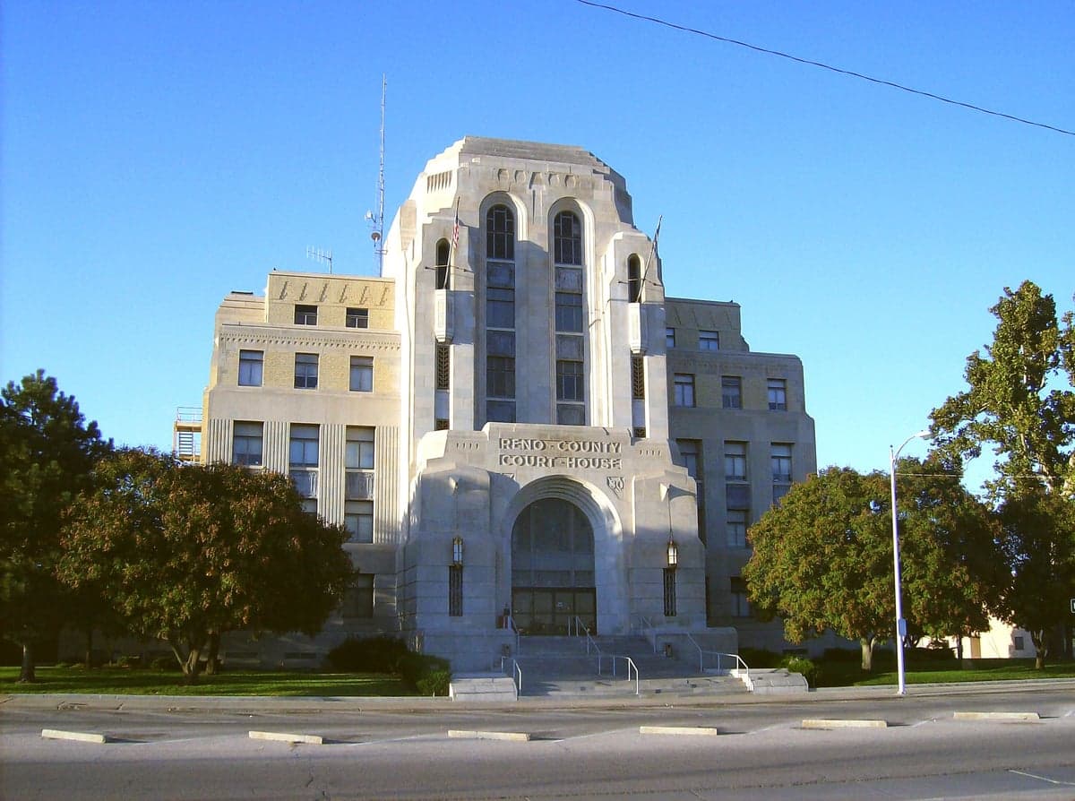
Photo: Wikipedia
Strategic Assessment of Reno County
Workable tactical position. Some exposure to population density or targets, but generally defensible in a crisis.
What does the Strategic Assessment tell us?
Our Strategic Assessment grades tactical survivability of an area. Major population centers, military targets, fallout zones, natural disasters, and border exposure all drive risk — lower exposure means a more defensible position in a crisis.
This is heavily inspired by Joel Skousen's Strategic Relocation book. Highly recommended you checkout the book ($)What does this tell us?
Our Strategic Assessment grades tactical survivability of an area. Major population centers, military targets, fallout zones, natural disasters, and border exposure all drive risk — lower exposure means a more defensible position in a crisis.
This is heavily inspired by Joel Skousen's Strategic Relocation book. Highly recommended you checkout the book ($)Strategic Pillars

Key Distances
Strategic Assessment Analysis
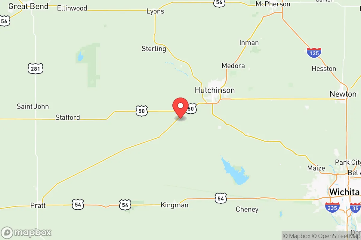
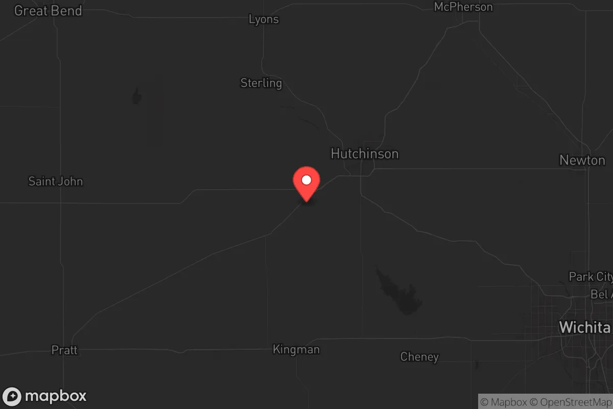
Reno County, Kansas, anchored by the city of Hutchinson, offers a compelling blend of Midwestern stability and strategic depth for those prioritizing long-term resilience. Its location at the crossroads of Interstate 70 and Highway 61 places it within a day’s drive of major population centers like Wichita (50 miles south) and Kansas City (200 miles east), yet far enough removed to avoid the immediate fallout of urban collapse. The county’s agricultural backbone, groundwater access via the Ogallala Aquifer, and existing energy infrastructure make it a practical choice for relocators who value self-sufficiency over coastal convenience.
Geographic position and natural advantages for long-term stability
Reno County sits in the heart of the Great Plains, a region historically insulated from the cascading failures that plague densely populated corridors. The terrain is predominantly flat, open farmland, which provides clear sightlines and minimal cover for hostile movement—a defensive advantage for those securing a homestead. The Arkansas River runs through the county’s southern edge, offering a reliable surface water source, while the underlying Ogallala Aquifer supplies deep groundwater for wells, a critical asset if municipal systems fail. Hutchinson itself sits at the intersection of two major rail lines (BNSF and Union Pacific), which could become logistical chokepoints in a crisis, but also means the area is a natural hub for grain and fuel distribution. The county’s position 150 miles northeast of the Oklahoma Panhandle and 200 miles west of the Missouri River places it outside the immediate blast radius of any major strategic target, including McConnell Air Force Base near Wichita and the sprawling refineries of the Texas Gulf Coast.
Risks, exposures, and proximity to fallout-relevant landmarks
No location is without vulnerabilities, and Reno County has a few that demand attention. The most obvious is the Kansas Underground Salt Museum and the associated Hutchinson Salt Company mines—massive underground caverns that store strategic petroleum reserves and other sensitive materials. While these facilities are hardened, a targeted attack or catastrophic failure could release toxic gases or trigger subsidence, though the risk is low compared to a nuclear power plant or chemical depot. The county is also within 100 miles of the Kansas Army Ammunition Plant in Parsons (southeast) and the McConnell AFB tanker fleet, both of which could be secondary targets in a conflict. On the natural hazard side, tornadoes are a recurring threat—Reno County sits in the heart of Tornado Alley, with an average of 12-15 tornado warnings per year. The 2019 Hutchinson tornado caused significant damage, a reminder that shelter planning is non-negotiable. Flooding along the Arkansas River and its tributaries (Cow Creek, Ninnescah River) is seasonal but manageable with proper elevation. The county’s population of roughly 62,000 means Hutchinson (population 40,000) is the only real urban center; the rest is scattered farmsteads and small towns like South Hutchinson, Buhler, and Nickerson, which offer lower density but also fewer resources.
Practical resilience for a relocator: food, water, energy, and defensibility
For a relocator serious about self-reliance, Reno County delivers on the basics. Food production is the standout: the county is among Kansas’s top producers of wheat, corn, and soybeans, with dozens of family farms operating within a 20-mile radius of Hutchinson. The Kansas State University Extension Office in Hutchinson offers workshops on small-scale farming, livestock management, and food preservation—practical knowledge that beats any online course. Water access is above average for the Plains: the Ogallala Aquifer is deep but renewable, and many rural properties already have private wells. The city of Hutchinson draws from the Cheney Reservoir (30 miles west), but a grid-down scenario would favor those with their own pump and filtration. Energy infrastructure is robust: the county is home to the Hutchinson Energy Center, a natural gas-fired power plant, and multiple wind farms (e.g., the Flat Ridge Wind Farm in nearby Barber County) that could be repurposed for off-grid generation. Solar potential is excellent, with 220+ sunny days per year. Defensibility is mixed: the open terrain makes it hard to hide but easy to observe. A rural property with a good well, solar panels, and a root cellar could be held against small groups, but the county’s flatness means any organized threat would have clear approaches. The Reno County Sheriff’s Office is well-regarded locally, but in a prolonged crisis, law enforcement presence would thin quickly outside Hutchinson. Stockpiling ammunition and maintaining a low profile are wise moves.
The overall strategic picture for Reno County is one of calculated trade-offs. It offers genuine depth in food, water, and energy—resources that will only appreciate in value as supply chains fray. The absence of high-value military or industrial targets within the county (the salt mines are an exception, but not a primary one) reduces the likelihood of direct attack. The conservative, agrarian culture aligns with self-reliance values, and the local economy is anchored by agriculture, healthcare (Hutchinson Regional Medical Center), and manufacturing (Collins Bus Corporation, a major school bus builder). The downsides are real: tornado risk, flat terrain that limits defensive options, and a population density that, while low, still means neighbors are within earshot. For a single individual or family willing to invest in a well, solar, and a storm shelter, Reno County provides a solid foundation for weathering the coming storms—whether they’re economic, political, or literal. It’s not a fortress, but it’s a damn good place to start building one.
* Values derived from national, state, county, city and local statistics and may differ in a specific area. Last updated: 2026-05-12T09:35:52.000Z
Narrative content on this page is AI-generated and may contain mistakes. Verify any details that matter before acting on them.
ReloMaps may earn a commission from affiliate links at no extra cost to you.