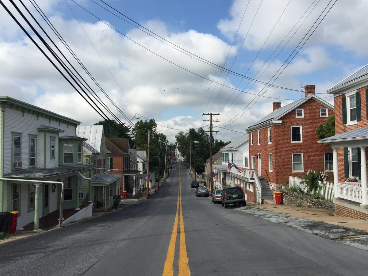
Photo: Wikipedia
Strategic Assessment of Keedysville, MD
Meaningful friction. Expect exposure to either population pressure, blast zones, or natural disaster risk. Consider buying a retreat property.
What does the Strategic Assessment tell us?
Our Strategic Assessment grades tactical survivability of an area. Major population centers, military targets, fallout zones, natural disasters, and border exposure all drive risk — lower exposure means a more defensible position in a crisis.
This is heavily inspired by Joel Skousen's Strategic Relocation book. Highly recommended you checkout the book ($)What does this tell us?
Our Strategic Assessment grades tactical survivability of an area. Major population centers, military targets, fallout zones, natural disasters, and border exposure all drive risk — lower exposure means a more defensible position in a crisis.
This is heavily inspired by Joel Skousen's Strategic Relocation book. Highly recommended you checkout the book ($)Strategic Pillars

Key Distances
Regional Safe Places
Below is our recommended "safe zones" in Maryland and the surrounding area based on our strategic heuristics. For most people, it's unrealistic to live in a “safe zone” full-time due to work, family or other personal reasons. They tend to be more rural. However, many of these areas are perfect for second homes and retreat properties that double as a vacation home or even a short-term rental.




Important Note: For informational purposes only. This does not mean nothing bad ever happens in the green zones. Please use common sense. This is based on public data and modeled with AI. We tried to take a conservative approach but mistakes happen. We update this regularly as new information becomes available.
Solar Generator Recommendations
Backup power matters more here than in safer locations. We've picked three solar generators across budgets and capacity tiers — start with the budget unit if you only need a few essentials, or step up if you want to run a fridge and HVAC for days at a time.

Jackery Portable Power Station Explorer 300
Budget OptionPower on the Go: Weighing only 11 lbs, it's convenient to set up and store with book-sized foldable solar panels

BLUETTI Portable Power Station AC180
Designed for both indoor and outdoor scenarios, AC180 is highly capable as it has a robost capacity and continuous output power.

EF ECOFLOW DELTA Pro Ultra Power Station
Upgraded PickEcoFlow DELTA Pro Ultra is a whole-home energy system designed to grow with your family. Integrated with the Smart Home Panel 2, it scales to meet your evolving energy needs — keeping your home powered, intelligent, and secure through every stage of life.
We earn a commission, at no additional cost to you.
Strategic Assessment Analysis
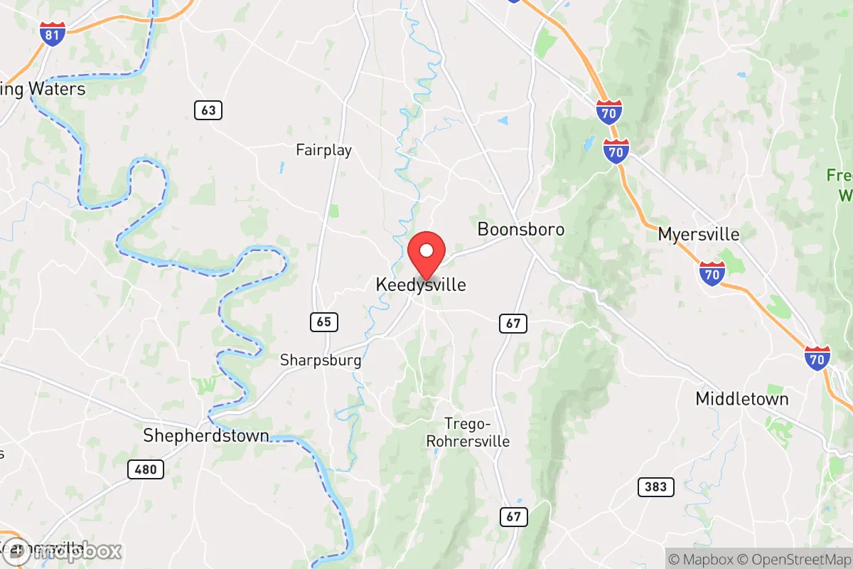
Keedysville, Maryland, presents a mixed strategic picture for the relocation-minded reader focused on resilience and self-sufficiency. Its primary advantage is a deceptive geographic buffer: nestled in the agricultural heart of Washington County, it sits roughly 70 miles from both the Washington, D.C. and Baltimore metro areas—close enough for occasional supply runs or employment, but far enough to avoid the immediate blast and fallout zones of a major urban or military strike. However, this buffer is not a fortress; the town lies within a region crisscrossed by major transportation corridors and near several high-value strategic targets, meaning a serious disaster scenario would still bring significant secondary risks. For a family or individual weighing long-term preparedness, Keedysville offers a solid baseline of rural infrastructure and community cohesion, but requires a clear-eyed understanding of its vulnerabilities.
Geographic position and natural advantages for disaster readiness
Keedysville sits in a broad, fertile valley carved by the Potomac River, roughly 10 miles south of Hagerstown and 15 miles west of Frederick. The surrounding terrain is a mix of rolling farmland and low, forested ridges, which provides decent natural cover and multiple egress routes. The area is not prone to major natural disasters: it lies outside the highest-risk hurricane zones (the coast is 150 miles east), tornado activity is below the national average, and the floodplain of the Potomac is mostly confined to the river's immediate banks, sparing most of the town. The local water table is reliable, with numerous springs and wells serving the rural properties that dot the outskirts. For a relocator, the key natural advantage is the abundance of arable land and moderate climate—the growing season runs from April to October, and the soil in Washington County is among the most productive in the Mid-Atlantic. This makes Keedysville a viable location for a serious self-sufficiency plan centered on food production, provided one secures acreage with well water rights.
Risks, exposures, and proximity to fallout-relevant landmarks
The most significant strategic weakness is Keedysville's position within a dense web of critical infrastructure and potential targets. The town is less than 20 miles from Fort Detrick in Frederick, a U.S. Army biodefense and infectious disease research lab that would be a high-priority target in a conflict. Interstate 70 and Interstate 81, both major military and logistics corridors, run within 10-15 miles, making them likely choke points or secondary targets. The nearby Hagerstown Regional Airport and the rail lines along the Potomac add to the area's strategic value. In a nuclear or large-scale conventional event, prevailing winds from the west and southwest could carry fallout from strikes on the D.C. metro area (including the Pentagon, Andrews Air Force Base, and the National Security Agency at Fort Meade) directly over Keedysville within hours. While the town itself is not a primary target, its location in the fallout plume path of multiple high-value assets means a relocator must plan for shelter-in-place capability for at least two weeks, with adequate filtration and sealed living space. The proximity to these landmarks also increases the risk of civil disruption—refugee flow from the D.C.-Baltimore corridor would likely follow I-70 and I-270 west, potentially overwhelming local resources.
Practical resilience for a relocator: food, water, energy, and defensibility
On the practical side, Keedysville offers several strong points for a preparedness-minded household. The local agricultural base means fresh food is accessible: there are multiple working farms, a farmers' market in nearby Boonsboro, and the Washington County Agricultural Education Center provides resources for small-scale farming. Water is the strongest asset—the area's groundwater is plentiful and generally clean, and many rural properties already rely on private wells. For energy, the region has growing interest in solar, though grid reliability is average for rural Maryland (outages from storms occur a few times a year, but are usually restored within 24-48 hours). A relocator should budget for a backup generator and solar array, as the local power cooperative (Potomac Edison) serves a wide area and can be slow to restore service after a major event. Defensibility is moderate: the town itself is small (population under 600) and spread out, with limited natural chokepoints. The surrounding farmland offers good lines of sight, but the open terrain also means a determined group could approach from multiple directions. The local community is tight-knit and self-reliant, with a strong volunteer fire department and a culture of mutual aid among farming families. For a single individual or family, the best strategy is to secure a property on a dead-end road with a well and at least 5-10 acres, ideally with a southern or eastern slope for solar exposure and a spring or creek for secondary water.
The overall strategic picture for Keedysville is one of qualified viability. It offers genuine advantages in food production, water access, and community cohesion that are hard to find closer to the urban core. However, its position within the fallout shadow of the nation's capital and near multiple military and research installations means it cannot be considered a safe haven in a major conflict. For a relocator whose primary concern is natural disaster or economic collapse, Keedysville is a strong choice—the local economy is stable, the land is productive, and the community is resilient. For someone preparing for a full-scale geopolitical crisis, it is a moderate-risk location that demands serious investment in shelter, filtration, and self-defense planning. The prudent move is to treat Keedysville as a base for a self-sufficient lifestyle, not a bunker, and to maintain a secondary retreat option further west into the Allegheny Mountains if the strategic situation deteriorates.

* Values derived from national, state, county, city and local statistics and may differ in a specific area. Last updated: 2026-08-11T03:11:26.000Z
Narrative content on this page is AI-generated and may contain mistakes. Verify any details that matter before acting on them.
ReloMaps may earn a commission from affiliate links at no extra cost to you.

