
Photo: Wikipedia
Strategic Assessment of Boyle County
Workable tactical position. Some exposure to population density or targets, but generally defensible in a crisis.
What does the Strategic Assessment tell us?
Our Strategic Assessment grades tactical survivability of an area. Major population centers, military targets, fallout zones, natural disasters, and border exposure all drive risk — lower exposure means a more defensible position in a crisis.
This is heavily inspired by Joel Skousen's Strategic Relocation book. Highly recommended you checkout the book ($)What does this tell us?
Our Strategic Assessment grades tactical survivability of an area. Major population centers, military targets, fallout zones, natural disasters, and border exposure all drive risk — lower exposure means a more defensible position in a crisis.
This is heavily inspired by Joel Skousen's Strategic Relocation book. Highly recommended you checkout the book ($)Strategic Pillars

Key Distances
Strategic Assessment Analysis
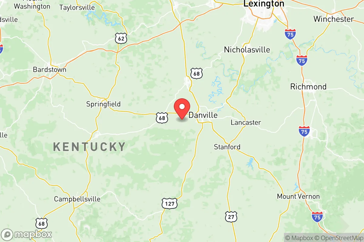
Boyle County, Kentucky, anchored by the historic city of Danville, presents a compelling strategic profile for relocators prioritizing resilience, self-sufficiency, and a buffer from major metropolitan vulnerabilities. Its position in the Bluegrass region, roughly equidistant from Louisville, Lexington, and Knoxville, offers a blend of rural accessibility and local economic stability without the congestion and target density of larger urban centers. For a family or individual weighing disaster readiness, Boyle County’s combination of a robust local food system, a moderate climate, and a low-key industrial base makes it a defensible, if not entirely insulated, choice in the mid-South.
Geographic position and natural advantages for long-term stability
Boyle County sits in the heart of Kentucky’s Inner Bluegrass region, a landscape defined by rolling limestone hills, fertile soils, and the headwaters of the Kentucky River. This geography provides several natural advantages. The area is not prone to the major natural disasters that plague other parts of the country: it lies outside the highest-risk tornado alleys (though severe storms occur), has no significant earthquake fault lines, and is far from hurricane storm-surge zones. The local karst topography, with its limestone bedrock and numerous springs, means groundwater is generally abundant and of good quality, a critical factor for long-term water security. Danville, the county seat, sits at an elevation of around 950 feet, offering some relief from the lowland heat and humidity, and the surrounding hills provide natural drainage and defensible terrain. The proximity to the Kentucky River and its tributaries, like the Dix River, offers additional water resources, though access is not always direct from every property. For a relocator, the key takeaway is that Boyle County avoids the worst of the continental US’s natural hazard zones while sitting on a reliable water table.
Risks, exposures, and proximity to fallout-relevant landmarks
While Boyle County is geographically stable, it is not without strategic risks. The most significant man-made exposure is its proximity to the Blue Grass Army Depot in neighboring Madison County, roughly 20 miles northeast of Danville. This depot is a major storage site for chemical and conventional munitions, including the aging M55 rockets containing GB nerve agent, which are currently being destroyed. While the destruction process is ongoing and monitored, the depot remains a potential target for sabotage or accidental release. Additionally, the county lies within the broader shadow of the Fort Knox military installation (about 60 miles west) and the Oak Ridge National Laboratory in Tennessee (about 100 miles south), both of which are high-value strategic assets. For a relocator, the Blue Grass Army Depot is the most immediate concern; properties in the eastern part of the county, particularly near the Madison County line, are closer to this risk. The county’s industrial base is modest—Danville has a few manufacturing plants (e.g., Hitachi Automotive, Modine Manufacturing)—but none are major national targets. The Garrard County line to the south is largely rural, offering a buffer. The primary risk is not a direct strike but the potential for secondary effects—evacuation routes, supply chain disruptions, or fallout from a major incident at the depot. The county’s location along US-127 and the Bluegrass Parkway also means it could become a transit corridor for evacuees from larger cities, a factor to consider for those seeking true isolation.
Practical resilience for a relocator: food, water, energy, and defensibility
Boyle County’s practical resilience is its strongest selling point. The area is part of Kentucky’s agricultural heartland, with a strong local food system. The Danville Farmers’ Market operates seasonally, and the surrounding countryside is dotted with small farms producing beef, poultry, vegetables, and the region’s famous burley tobacco. For a relocator aiming for self-sufficiency, the soil is productive, and the growing season (roughly April to October) is long enough for a substantial garden. Water access is generally good: most rural properties rely on wells, and the county’s water table is reliable due to the limestone aquifer. The Danville Water Works draws from the Kentucky River, but a well with a hand pump or a backup generator is a prudent investment. Energy infrastructure is moderately resilient. The local electric grid is served by Kentucky Utilities, which has a mixed record on storm-related outages, but the county’s rural nature means fewer overhead lines in dense corridors. Solar potential is decent, with about 200 sunny days per year, though not as strong as the Southwest. For defensibility, the terrain offers natural advantages: the rolling hills and wooded areas provide cover and chokepoints, and the county’s low population density (about 30,000 residents in 2024) means fewer people to compete with for resources in a crisis. The Perryville Battlefield area, just west of Danville, is a reminder that the region has historically been a strategic crossroads, but modern defensibility is more about access control than open-field combat. The county’s road network—US-127, US-150, and the Bluegrass Parkway—provides multiple egress routes, but also multiple entry points for potential threats. A relocator should prioritize a property with a good well, a south-facing slope for solar, and a location off the main highways to maximize isolation.
The overall strategic picture for Boyle County is one of moderate resilience with a clear, manageable risk profile. It is not a hardened bunker location, but it offers a realistic balance of accessibility, natural resources, and distance from the highest-risk zones. The Blue Grass Army Depot is the single greatest man-made exposure, but it is a known, monitored risk rather than an unpredictable one. For a family or individual looking to build a self-sufficient lifestyle with a buffer from urban chaos, Boyle County provides a solid foundation: good water, fertile land, a moderate climate, and a community that is historically self-reliant. The key is to choose a property wisely—away from the depot’s shadow, with independent water and energy systems—and to recognize that no location in the continental US is entirely safe. Boyle County, however, is a defensible, practical choice for those who value preparedness without paranoia.

* Values derived from national, state, county, city and local statistics and may differ in a specific area. Last updated: 2026-07-30T23:51:38.000Z
Narrative content on this page is AI-generated and may contain mistakes. Verify any details that matter before acting on them.
ReloMaps may earn a commission from affiliate links at no extra cost to you.

