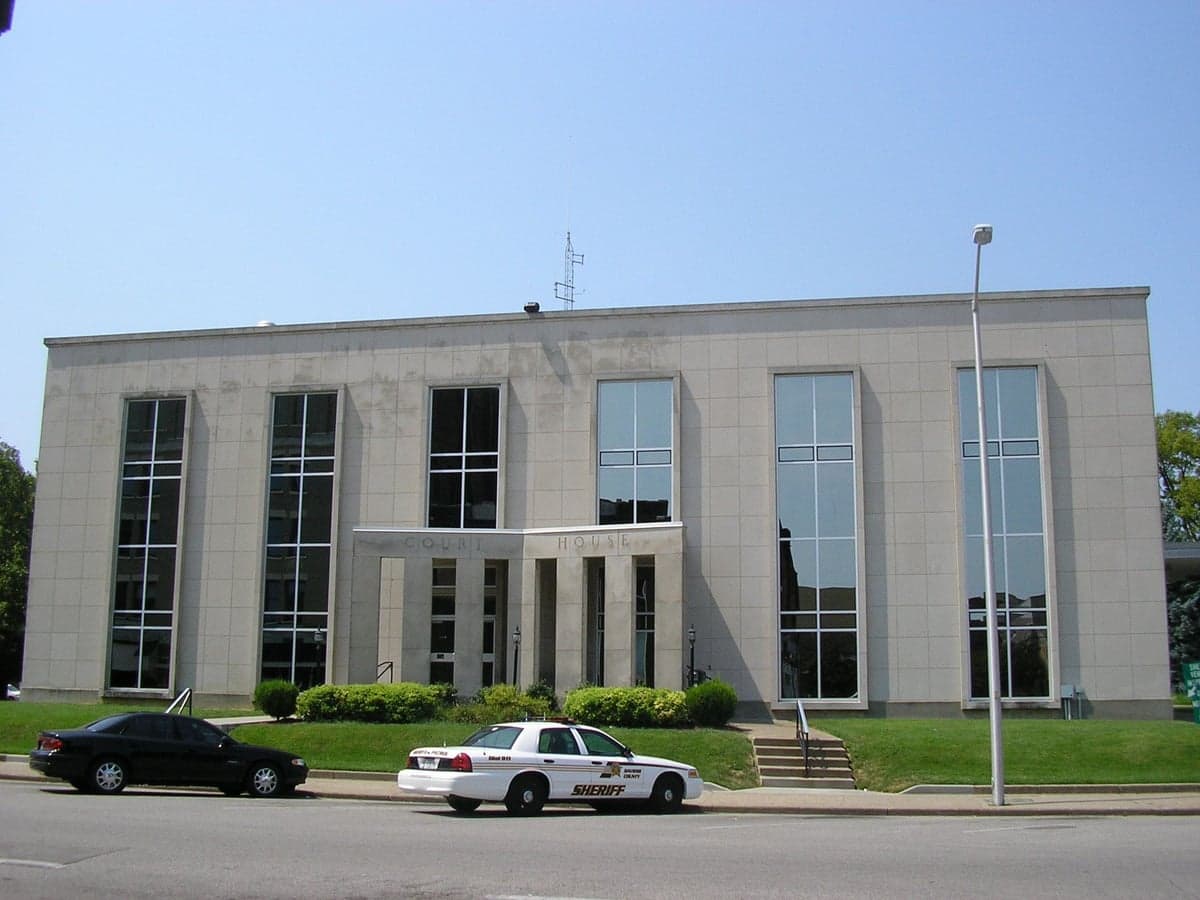
Photo: Wikipedia
Strategic Assessment of Daviess County
Workable tactical position. Some exposure to population density or targets, but generally defensible in a crisis.
What does the Strategic Assessment tell us?
Our Strategic Assessment grades tactical survivability of an area. Major population centers, military targets, fallout zones, natural disasters, and border exposure all drive risk — lower exposure means a more defensible position in a crisis.
This is heavily inspired by Joel Skousen's Strategic Relocation book. Highly recommended you checkout the book ($)What does this tell us?
Our Strategic Assessment grades tactical survivability of an area. Major population centers, military targets, fallout zones, natural disasters, and border exposure all drive risk — lower exposure means a more defensible position in a crisis.
This is heavily inspired by Joel Skousen's Strategic Relocation book. Highly recommended you checkout the book ($)Strategic Pillars

Key Distances
Strategic Assessment Analysis
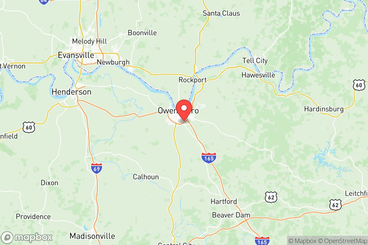
Daviess County, anchored by Owensboro, presents a compelling strategic profile for relocation-minded individuals and families who prioritize resilience and self-sufficiency without sacrificing access to regional infrastructure. The county sits in a sweet spot of the Ohio River Valley, roughly equidistant from Louisville (110 miles east) and Evansville, Indiana (35 miles west), offering a buffer from major metropolitan vulnerabilities while maintaining practical connectivity. The area's economic foundation—rooted in diversified manufacturing, healthcare, and energy production—provides a stability that many purely rural counties lack, and its position along the Ohio River creates both logistical advantages and a natural defensive barrier to the north.
Geographic position and natural defensive advantages in the Ohio River Valley
Daviess County's geography is defined by the Ohio River forming its entire northern border, a feature that functions as both a transportation corridor and a natural obstacle. The river's width and current make it a significant barrier to casual movement from the north, while the county's interior—rolling hills, hardwood forests, and agricultural bottomlands—offers multiple layers of terrain that break up sightlines and provide natural cover. The county seat of Owensboro sits on a bluff above the river, giving elevated vantage points over the floodplain, while smaller communities like Whitesville and Philpot are tucked into interior valleys that are less exposed. The region's karst topography, with its limestone bedrock and numerous springs, provides reliable groundwater access that many flatland counties lack. This combination of river barrier, varied terrain, and water availability gives Daviess County a natural defensibility that is rare in the Mid-South.
Risk exposure: natural hazards, industrial targets, and proximity to fallout-relevant landmarks
No strategic assessment is honest without acknowledging vulnerabilities. Daviess County sits within the New Madrid Seismic Zone, and while a major earthquake is a low-probability event, the Ohio River valley would experience significant liquefaction and potential levee failures in a worst-case scenario. Flooding is the most tangible natural risk—the 2011 Ohio River flood and the 1937 flood that inundated much of Owensboro are historical reminders that low-lying areas near the river are exposed. The county's industrial base, while economically beneficial, creates man-made risks: the Owensboro Regional Airport hosts general aviation and some military traffic, and the county is home to a major ethanol plant, a coal-fired power plant, and multiple natural gas pipelines that converge near the river. More critically for a resilience-minded relocator, Daviess County lies approximately 90 miles southwest of Fort Knox, a major military installation that could be a secondary target in a conflict scenario, and roughly 120 miles from the chemical and refining complexes along the Ohio River near Louisville. The Owensboro Health Regional Hospital is the primary trauma center, but its capacity would be strained in a regional emergency. These risks are manageable with preparation, but they should inform a relocator's property selection—higher ground away from industrial corridors is advisable.
Practical resilience for relocators: food, water, energy, and defensibility on the ground
For a family or individual serious about self-sufficiency, Daviess County offers strong fundamentals. The surrounding agricultural land produces corn, soybeans, and tobacco, and the local food system is supported by a robust farmers' market scene in Owensboro and smaller markets in Utica and Maceo. The county's position on the Ohio River means surface water is abundant, and the karst aquifer system provides reliable well water in most areas outside the floodplain—though well testing is essential due to agricultural runoff. Energy resilience is a mixed picture: the county is served by the Tennessee Valley Authority grid, which is relatively stable, but the local coal plant and natural gas infrastructure mean that a grid-down scenario would require backup generation. Wood heating is viable given the forest cover, and solar potential is moderate for the region. For defensibility, the key is choosing property with good sightlines, multiple access routes, and distance from major roads. The rural areas south of Owensboro, around Sorgho and Curdsville, offer the best combination of seclusion and access to the county's resources. The local gun culture is strong, with multiple shooting ranges and a high rate of private firearm ownership, which is a practical consideration for those prioritizing household defense. The county's law enforcement presence is concentrated in Owensboro, so rural residents should plan for longer response times and take neighborly relations seriously—rural Kentucky operates on a mutual-aid model where knowing your neighbors is a genuine security asset.
The overall strategic picture for Daviess County is one of balanced resilience. It avoids the extreme exposure of major metropolitan areas while retaining enough infrastructure to support a comfortable modern life. The Ohio River provides water, transport, and a natural barrier; the agricultural base ensures food availability; and the terrain offers defensible positions for those who choose their land carefully. The risks—seismic activity, flooding, proximity to military and industrial targets—are real but manageable with informed preparation. For a relocator who wants to be within a few hours of Louisville, Nashville, and St. Louis but not exposed to their vulnerabilities, Daviess County represents a strong middle ground. The key is to buy on high ground, invest in well water and backup power, and build relationships with the local community. In a world where strategic location matters more than ever, this corner of western Kentucky holds up well under scrutiny.

* Values derived from national, state, county, city and local statistics and may differ in a specific area. Last updated: 2026-08-09T13:37:07.000Z
Narrative content on this page is AI-generated and may contain mistakes. Verify any details that matter before acting on them.
ReloMaps may earn a commission from affiliate links at no extra cost to you.

