Photo: Wikipedia
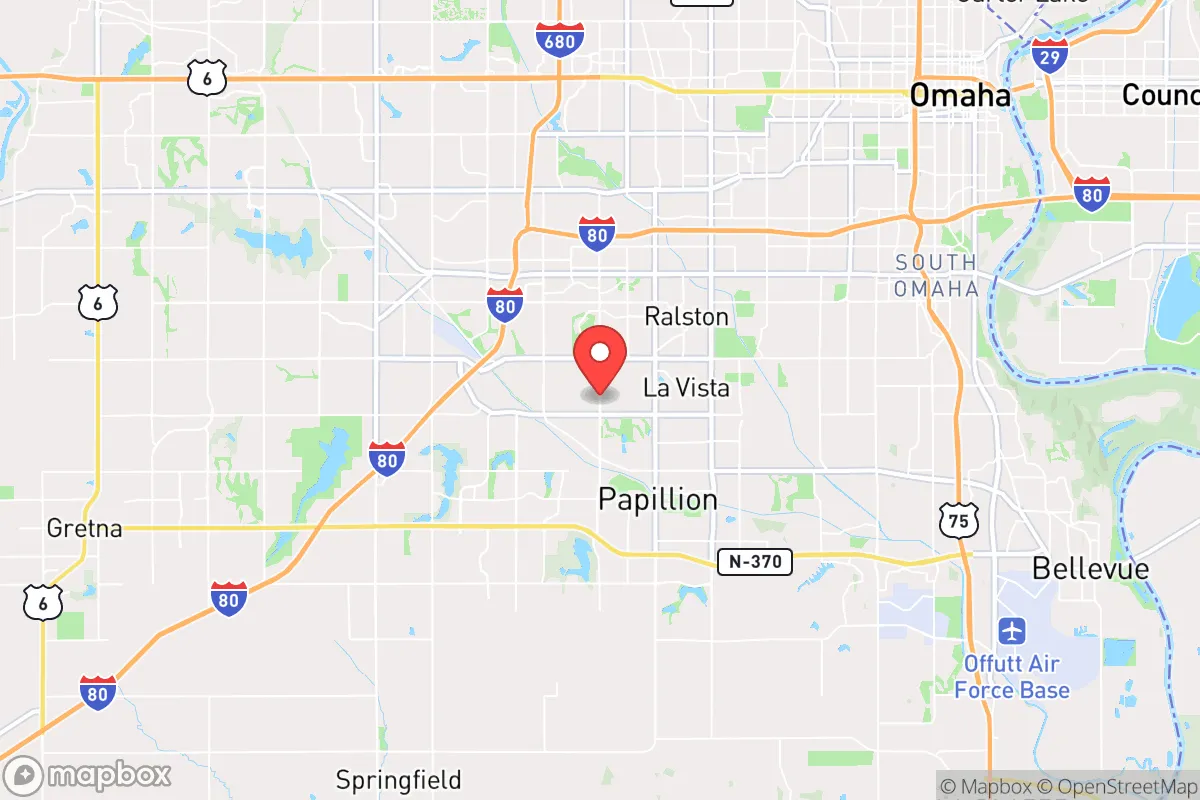
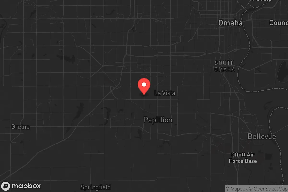
Strategic Assessment of La Vista, NE
Multiple tactical vulnerabilities. Population density, target proximity, or disaster risk are likely compounding. A retreat property and exit planning is required.
What does the Strategic Assessment tell us?
Our Strategic Assessment grades tactical survivability of an area. Major population centers, military targets, fallout zones, natural disasters, and border exposure all drive risk — lower exposure means a more defensible position in a crisis.
This is heavily inspired by Joel Skousen's Strategic Relocation book. Highly recommended you checkout the book ($)What does this tell us?
Our Strategic Assessment grades tactical survivability of an area. Major population centers, military targets, fallout zones, natural disasters, and border exposure all drive risk — lower exposure means a more defensible position in a crisis.
This is heavily inspired by Joel Skousen's Strategic Relocation book. Highly recommended you checkout the book ($)Strategic Pillars

Key Distances
Regional Safe Places
Below is our recommended "safe zones" in Nebraska and the surrounding area based on our strategic heuristics. For most people, it's unrealistic to live in a “safe zone” full-time due to work, family or other personal reasons. They tend to be more rural. However, many of these areas are perfect for second homes and retreat properties that double as a vacation home or even a short-term rental.
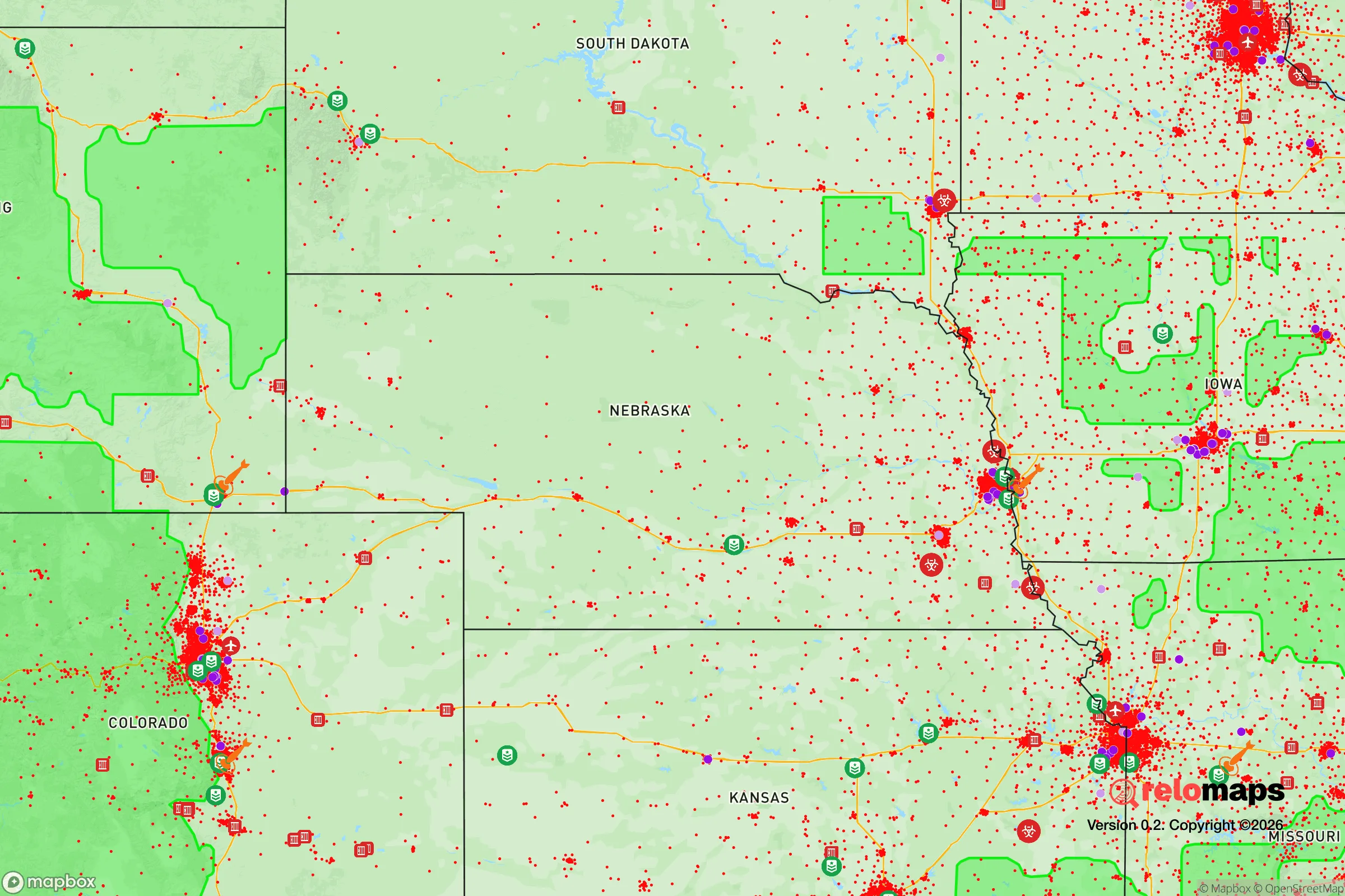
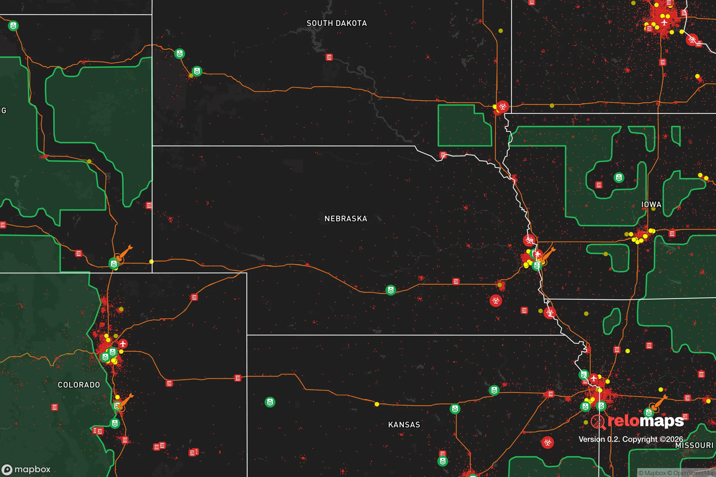
Important Note: For informational purposes only. This does not mean nothing bad ever happens in the green zones. Please use common sense. This is based on public data and modeled with AI. We tried to take a conservative approach but mistakes happen. We update this regularly as new information becomes available.
Solar Generator Recommendations
Backup power matters more here than in safer locations. We've picked three solar generators across budgets and capacity tiers — start with the budget unit if you only need a few essentials, or step up if you want to run a fridge and HVAC for days at a time.

Jackery Portable Power Station Explorer 300
Budget OptionPower on the Go: Weighing only 11 lbs, it's convenient to set up and store with book-sized foldable solar panels

BLUETTI Portable Power Station AC180
Designed for both indoor and outdoor scenarios, AC180 is highly capable as it has a robost capacity and continuous output power.

EF ECOFLOW DELTA Pro Ultra Power Station
Upgraded PickEcoFlow DELTA Pro Ultra is a whole-home energy system designed to grow with your family. Integrated with the Smart Home Panel 2, it scales to meet your evolving energy needs — keeping your home powered, intelligent, and secure through every stage of life.
We earn a commission, at no additional cost to you.
Strategic Assessment Analysis
La Vista, Nebraska, sits in a precarious but potentially workable position for the conservative prepper or survivalist. Its primary resilience advantage is its location within the broader Omaha metro area, which provides access to supply chains and medical infrastructure, but its primary disadvantage is the same proximity to a major population center and a known nuclear target. For a relocator thinking in terms of civic unrest, mass casualty events, and long-term grid-down scenarios, La Vista offers a mixed bag: decent immediate resources but poor strategic depth if the balloon goes up.
Geographic position and natural advantages for a prepper
La Vista is located in Sarpy County, just south of Omaha and west of the Missouri River. The area sits on relatively flat, fertile ground typical of the eastern Nebraska plains. From a natural advantages standpoint, the region benefits from the Missouri River as a water source, though access to it is controlled by public parks and private property. The Platte River also runs nearby to the west, offering another potential water catchment. The climate is continental, with hot summers and cold winters, meaning a relocator must plan for both extremes. The soil is rich for gardening, and the growing season, while not long, is sufficient for staple crops like corn, beans, and squash. The area is not prone to earthquakes, hurricanes, or wildfires, which is a plus. However, tornadoes are a real seasonal threat, and the flat terrain offers little natural cover or defensible high ground. For a prepper, the lack of significant elevation or natural barriers means that any retreat or defensive position would require man-made structures or dense tree lines.
Risks, exposures, and proximity to fallout-relevant landmarks
The single biggest risk for La Vista is its proximity to Offutt Air Force Base, located just a few miles to the northeast in Bellevue. Offutt is the headquarters of U.S. Strategic Command (STRATCOM) and is a primary nuclear command-and-control facility. In a major conflict, this base is a top-tier target for a nuclear strike. La Vista lies within the likely fallout plume zone depending on wind direction. A ground burst at Offutt would render much of Sarpy County uninhabitable for weeks or months due to radioactive contamination. Additionally, the city is within the blast radius for a large-yield weapon aimed at Omaha proper. The interstate highway system (I-80 and I-29) runs through the area, which is a double-edged sword: it provides evacuation routes but also channels refugees and looters during a crisis. The proximity to the Missouri River also means that a dam failure or intentional breach upstream could flood low-lying areas, though La Vista sits on higher ground than some river towns. For a relocator, the key takeaway is that La Vista is not a bug-out location; it is a location that could become a hot zone very quickly.
Practical resilience for a relocator: food, water, energy, and defensibility
For a prepper looking at daily life in La Vista, the practical resilience picture is mixed. Water is municipally supplied from the Missouri River and treated by the Metropolitan Utilities District. In a grid-down scenario, this supply stops. A well is not a given in suburban La Vista; most homes are on city water. A relocator would need to secure a rainwater catchment system or have a plan to haul water from the Platte or Missouri. Food access is good in normal times, with multiple grocery stores and a strong local farming presence in Sarpy County. However, in a crisis, the suburban population density means stores will empty in hours. Gardening space is limited on standard suburban lots, but community gardens and backyard plots are feasible. Energy comes from the grid, with natural gas heating common. Solar is viable but not widespread. For a prepper, a generator with fuel storage is a minimum, and a solar array with battery backup is ideal. Defensibility is the weakest point. La Vista is a typical suburban grid of cul-de-sacs and arterial roads. There is no natural chokepoint, and the area is easily infiltrated by vehicle traffic. A single-family home with a fence and reinforced doors offers some protection, but a determined group could overwhelm it. The local police force is competent but small; in a widespread collapse, they will be overwhelmed. The best defensive strategy is to be part of a neighborhood watch or mutual assistance group, and to have a secondary retreat location further west, toward the Sandhills or the Nebraska panhandle.
The overall strategic picture for La Vista is that it is a decent place to live in peacetime but a dangerous place to be in a major crisis. Its proximity to Offutt Air Force Base and Omaha makes it a likely target or fallout zone in a nuclear exchange. For the conservative prepper, the calculus is simple: La Vista works as a staging area or a short-term residence while building resources for a more remote retreat. It is not a place to hunker down for the long haul. If you are relocating here, do so with the understanding that you are within the blast radius of a primary strategic target. Your best bet is to use the area's economic opportunities to fund a more defensible property farther from the city, and to have a bug-out plan that takes you west, away from the Missouri River corridor. In a world of increasing instability, La Vista offers convenience, not security.
* Values derived from national, state, county, city and local statistics and may differ in a specific area. Last updated: 2026-04-19T07:54:50.000Z
Narrative content on this page is AI-generated and may contain mistakes. Verify any details that matter before acting on them.
ReloMaps may earn a commission from affiliate links at no extra cost to you.