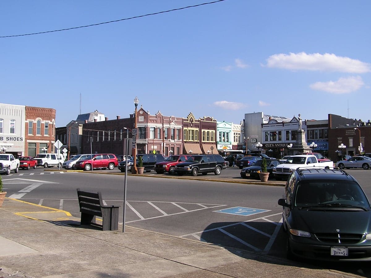
Photo: Wikipedia
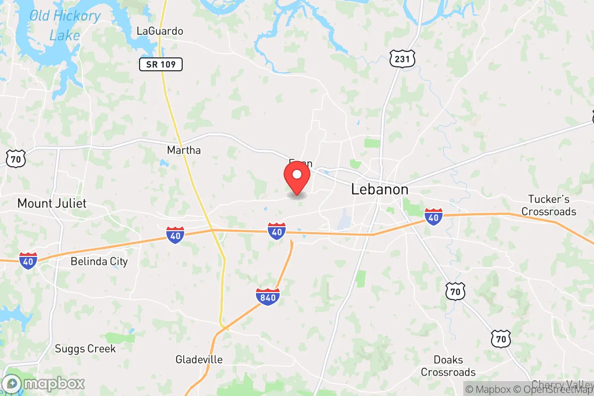
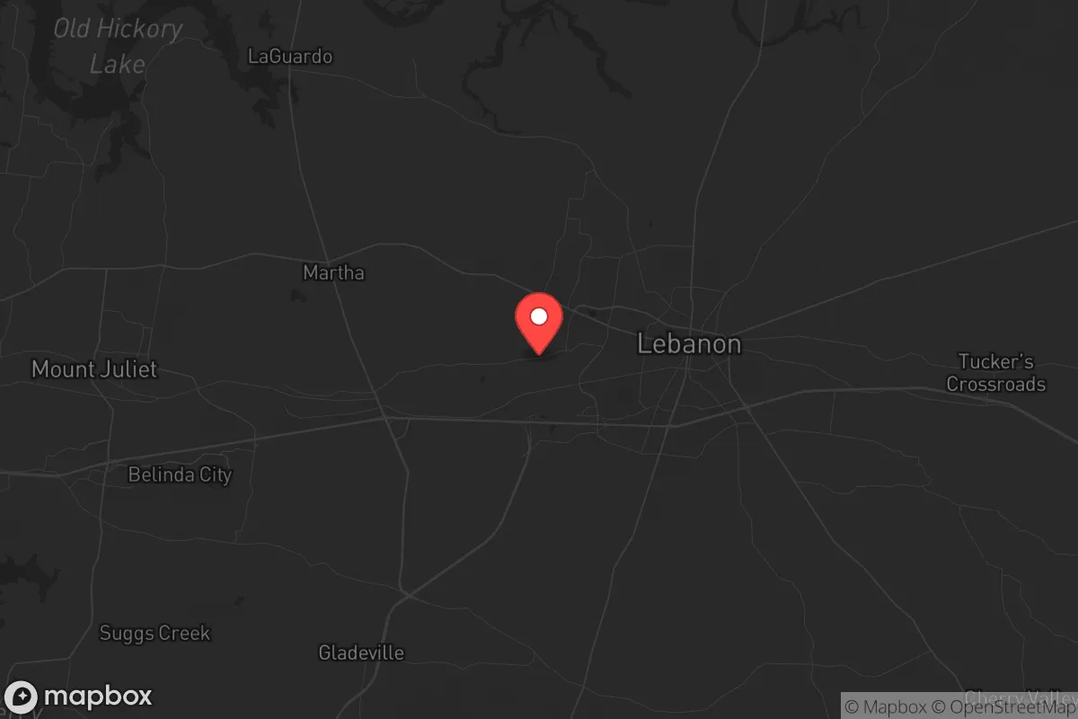
Strategic Assessment of Lebanon, TN
Meaningful friction. Expect exposure to either population pressure, blast zones, or natural disaster risk. Consider buying a retreat property.
What does the Strategic Assessment tell us?
Our Strategic Assessment grades tactical survivability of an area. Major population centers, military targets, fallout zones, natural disasters, and border exposure all drive risk — lower exposure means a more defensible position in a crisis.
This is heavily inspired by Joel Skousen's Strategic Relocation book. Highly recommended you checkout the book ($)What does this tell us?
Our Strategic Assessment grades tactical survivability of an area. Major population centers, military targets, fallout zones, natural disasters, and border exposure all drive risk — lower exposure means a more defensible position in a crisis.
This is heavily inspired by Joel Skousen's Strategic Relocation book. Highly recommended you checkout the book ($)Strategic Pillars

Key Distances
Regional Safe Places
Below is our recommended "safe zones" in Tennessee and the surrounding area based on our strategic heuristics. For most people, it's unrealistic to live in a “safe zone” full-time due to work, family or other personal reasons. They tend to be more rural. However, many of these areas are perfect for second homes and retreat properties that double as a vacation home or even a short-term rental.
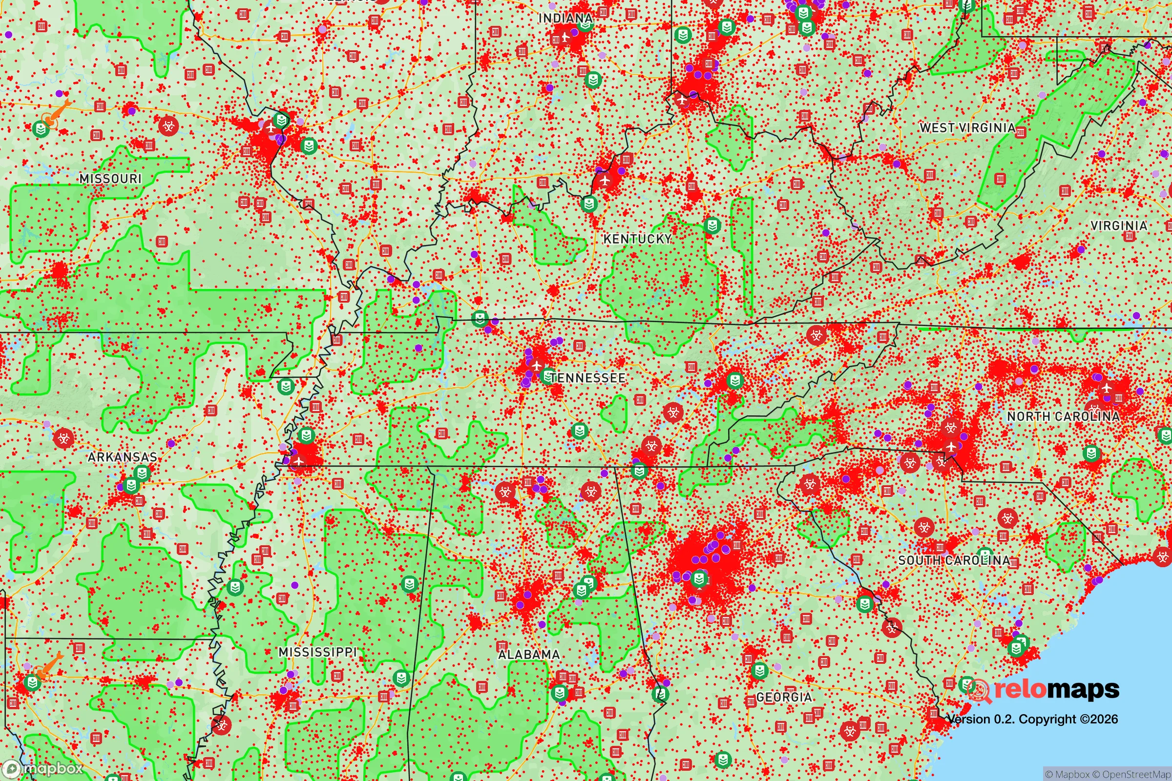
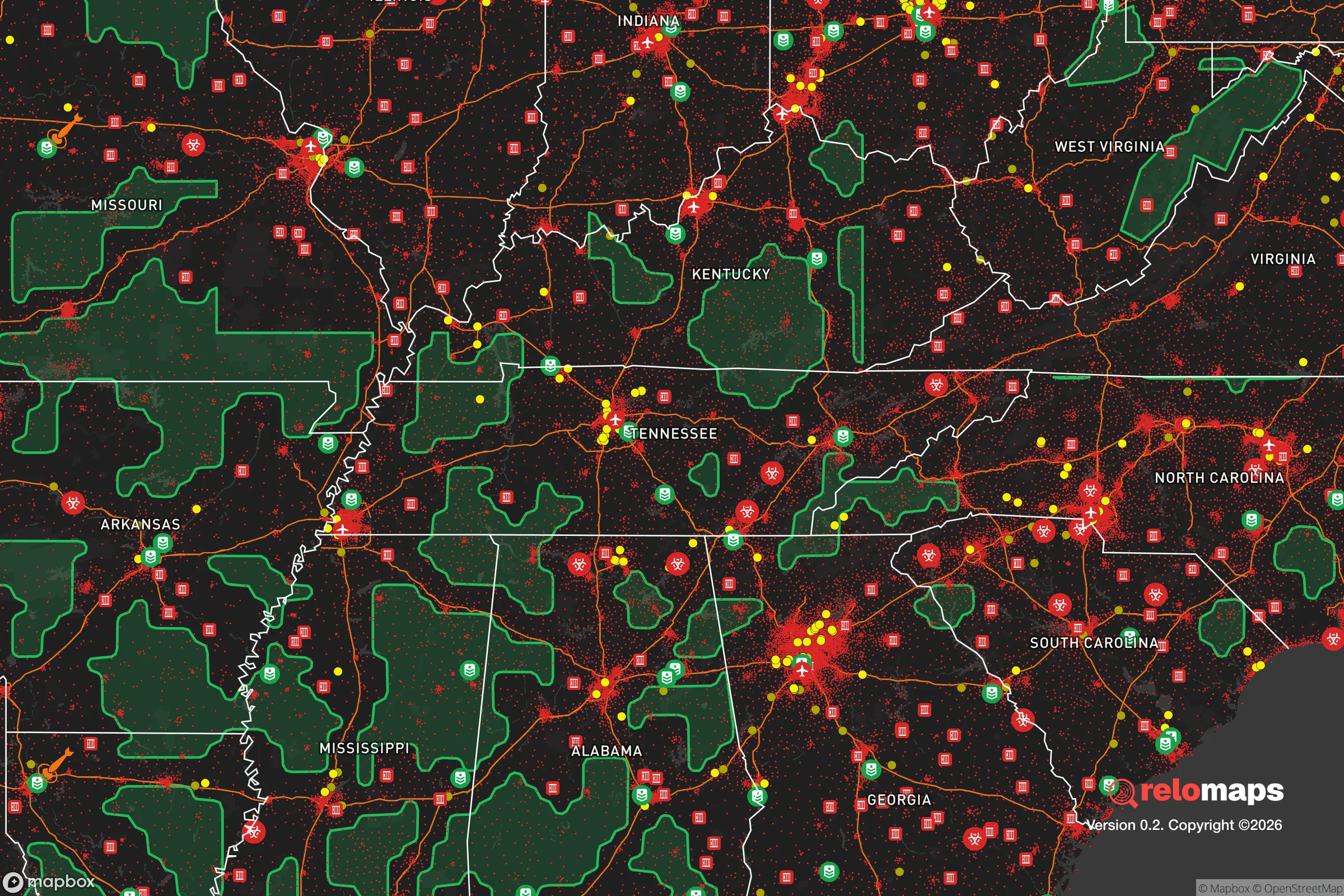
Important Note: For informational purposes only. This does not mean nothing bad ever happens in the green zones. Please use common sense. This is based on public data and modeled with AI. We tried to take a conservative approach but mistakes happen. We update this regularly as new information becomes available.
Solar Generator Recommendations
Backup power matters more here than in safer locations. We've picked three solar generators across budgets and capacity tiers — start with the budget unit if you only need a few essentials, or step up if you want to run a fridge and HVAC for days at a time.

Jackery Portable Power Station Explorer 300
Budget OptionPower on the Go: Weighing only 11 lbs, it's convenient to set up and store with book-sized foldable solar panels

BLUETTI Portable Power Station AC180
Designed for both indoor and outdoor scenarios, AC180 is highly capable as it has a robost capacity and continuous output power.

EF ECOFLOW DELTA Pro Ultra Power Station
Upgraded PickEcoFlow DELTA Pro Ultra is a whole-home energy system designed to grow with your family. Integrated with the Smart Home Panel 2, it scales to meet your evolving energy needs — keeping your home powered, intelligent, and secure through every stage of life.
We earn a commission, at no additional cost to you.
Strategic Assessment Analysis
Lebanon, Tennessee, sits in a strategic pocket of Middle Tennessee that offers a blend of accessibility and buffer—close enough to major infrastructure but far enough from the immediate blast radius of a Nashville-scale crisis. For a relocator thinking in terms of long-term resilience, this city presents a mixed picture: strong local governance and a growing conservative community, but with vulnerabilities tied to its proximity to Interstate 40 and the sprawling suburban expansion from the state capital. The key question isn't whether Lebanon is safe today—it's whether it can remain a viable fallback position when the grid flickers or the supply chains snap.
Geographic position and natural advantages for long-term stability
Lebanon occupies a ridge-and-valley transition zone between the Nashville Basin and the Eastern Highland Rim, giving it elevation advantages that reduce flood risk compared to low-lying areas like downtown Nashville or the Cumberland River floodplain. The city sits at roughly 600 feet above sea level, with surrounding Wilson County featuring rolling hills and limestone bedrock that support well water and septic systems—critical for off-grid viability. The area receives about 50 inches of rain annually, which is sufficient for rainwater catchment without the drought risks of the West. The growing season runs roughly 200 days, allowing for substantial food production on even modest acreage. Lebanon's position along the Cumberland River corridor also means it's within a day's drive of multiple bioregions—the Mississippi Delta, the Appalachian foothills, and the Tennessee Valley—which provides options for sourcing or relocating if conditions deteriorate locally. The city itself is laid out on a traditional grid pattern with multiple ingress/egress routes, including US-70, US-231, and State Route 109, which offers redundancy if I-40 becomes impassable during an evacuation event.
Risks, exposures, and proximity to fallout-relevant landmarks
The most significant vulnerability for Lebanon is its proximity to Nashville, roughly 30 miles west. While that distance provides some buffer, it also means Lebanon sits within the suburban commuter shed—meaning any mass evacuation of Nashville would funnel hundreds of thousands of people through Lebanon's road network, particularly along I-40 and US-70. The city is also within 50 miles of the Tennessee Valley Authority's Cumberland Fossil Plant and the Gallatin Steam Plant, both of which are potential targets for sabotage or grid disruption. More concerning is the proximity to the Hartsfield-Jackson Atlanta airspace corridor—while not a direct fallout risk, Lebanon lies under a major flight path, and a mid-air incident or drone swarm event over Nashville could create secondary hazards. The area is also within the New Madrid Seismic Zone's extended impact radius; a major quake could damage the I-40 bridges over the Cumberland River, effectively cutting off Lebanon from Nashville and creating a choke point. Tornado risk is real—Wilson County has seen multiple EF-2 and EF-3 events in the past decade—so any property assessment must include a storm shelter or reinforced safe room. The lack of a major military base nearby (the closest is Fort Campbell, 50 miles northwest) means no immediate military response assets, but also no target value for adversaries.
Practical resilience for a relocator: food, water, energy, and defensibility
For a relocator serious about self-sufficiency, Lebanon offers a workable but not ideal baseline. Water access is the strongest point: the city's water supply comes from the Cumberland River via the Lebanon Water Treatment Plant, but the underlying limestone aquifer provides reliable well water for those outside city limits. Many rural properties in Wilson County already have wells, and the water table sits at 50-150 feet, which is manageable with a hand pump or solar-powered pump. Food production potential is moderate: the soil is primarily clay-loam with decent fertility, but requires amendment for serious row cropping. The area supports pasture for livestock, and there are active farmers' markets and local meat processors, which means a relocator can build relationships with producers before any crisis. Energy resilience is a mixed bag: Lebanon is served by the Lebanon Electric Department, a municipal utility that has historically been more reliable than investor-owned utilities, but the grid is still vulnerable to ice storms and summer peak loads. Solar potential is good—the area averages 4.5 peak sun hours per day—and net metering is available, though policies could shift. Defensibility is the weakest link: Lebanon's suburban sprawl means most neighborhoods are open, with multiple access points and limited natural barriers. A relocator should prioritize properties with acreage, tree lines, and a single-point access road—ideally in the more rural eastern part of the county toward the Smithville Highway corridor. The local law enforcement presence is adequate for routine matters, but during a widespread event, Wilson County's 200 sworn deputies would be stretched thin across 580 square miles. The strongest community resilience factor is the area's political culture: Wilson County voted +35 Republican in the 2024 presidential election, and there is a visible network of churches, volunteer fire departments, and civic organizations that would likely self-organize in a prolonged emergency.
The overall strategic picture for Lebanon is one of calculated trade-offs. It offers a genuine buffer from Nashville's immediate collapse risks while retaining access to its medical and logistical resources during stable times. The water and growing conditions are solid, the community is ideologically aligned with self-reliance, and the road network provides multiple escape routes. But the suburbanization of Wilson County is accelerating, and the same growth that brings infrastructure also brings dependency on the very systems that could fail. For a relocator who can secure a property with well water, solar capacity, and defensible terrain on the county's eastern edge, Lebanon represents a viable long-term position—not a fortress, but a functional base from which to ride out the coming instability. The key is to get in before the next wave of development closes off those options, and to treat the city as a hub for supplies and community, not as a final redoubt.
* Values derived from national, state, county, city and local statistics and may differ in a specific area. Last updated: 2026-05-01T17:04:23.000Z
Narrative content on this page is AI-generated and may contain mistakes. Verify any details that matter before acting on them.
ReloMaps may earn a commission from affiliate links at no extra cost to you.