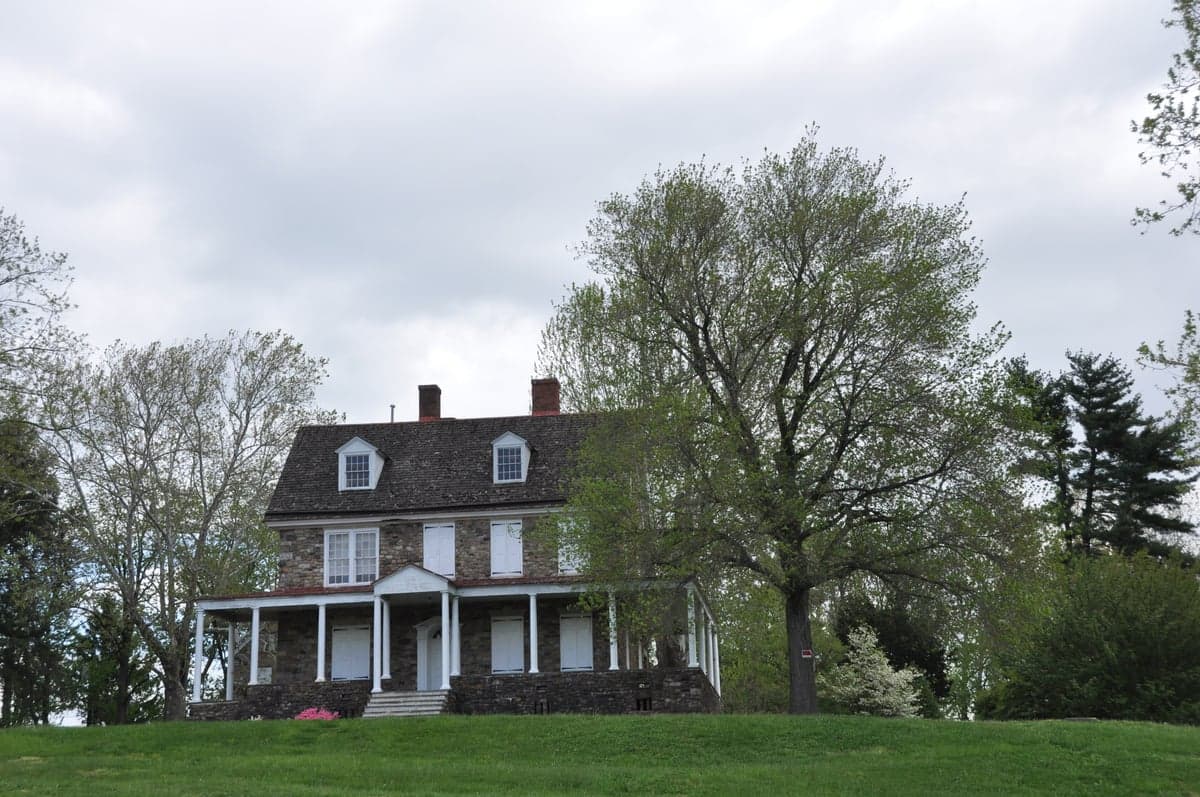
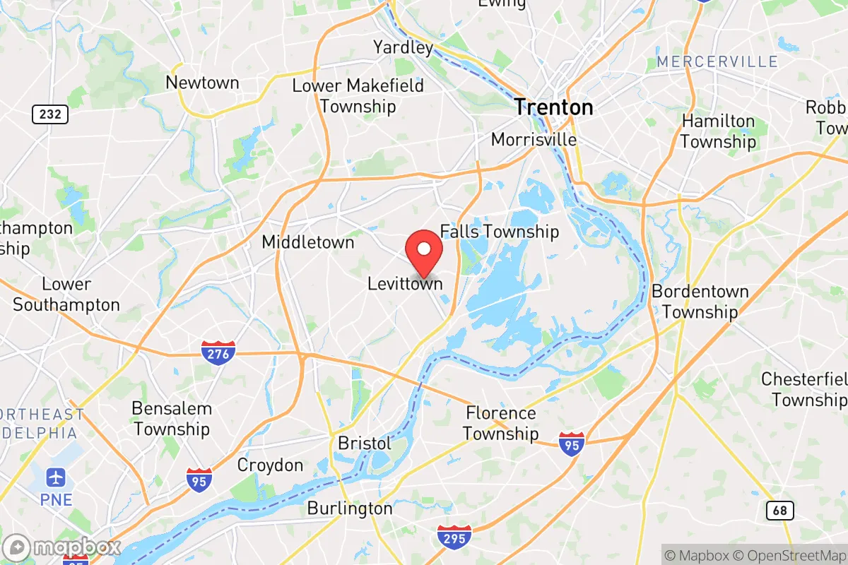
Photo: Wikipedia
Quality of Life in Levittown, PA
Above-average quality of iife. The area offers a reasonable cost of living, decent mobility, and a mix of neighborhood amenities.
What does Quality of Life tell us?
Quality of Life blends cost of living, nearby amenities, socioeconomic signals, and neighborhood character. City-level scores represent the whole municipality; individual neighborhoods can differ.
What does this tell us?
Quality of Life blends cost of living, nearby amenities, socioeconomic signals, and neighborhood character. City-level scores represent the whole municipality; individual neighborhoods can differ.
Cost of Living
22% above national average
The Real Cost of Living in Levittown, PA for 2026
| Tier | Individual | Family (4) |
|---|---|---|
| Survival | $24k | $45k |
| Comfortable | $60k | $89k |
| Luxury | $127k+ | $197k+ |
| Elite (Top 5%) | $149k+ | $232k+ |
114%
The Area Signal
A metric tracking the socioeconomic signals of the area.
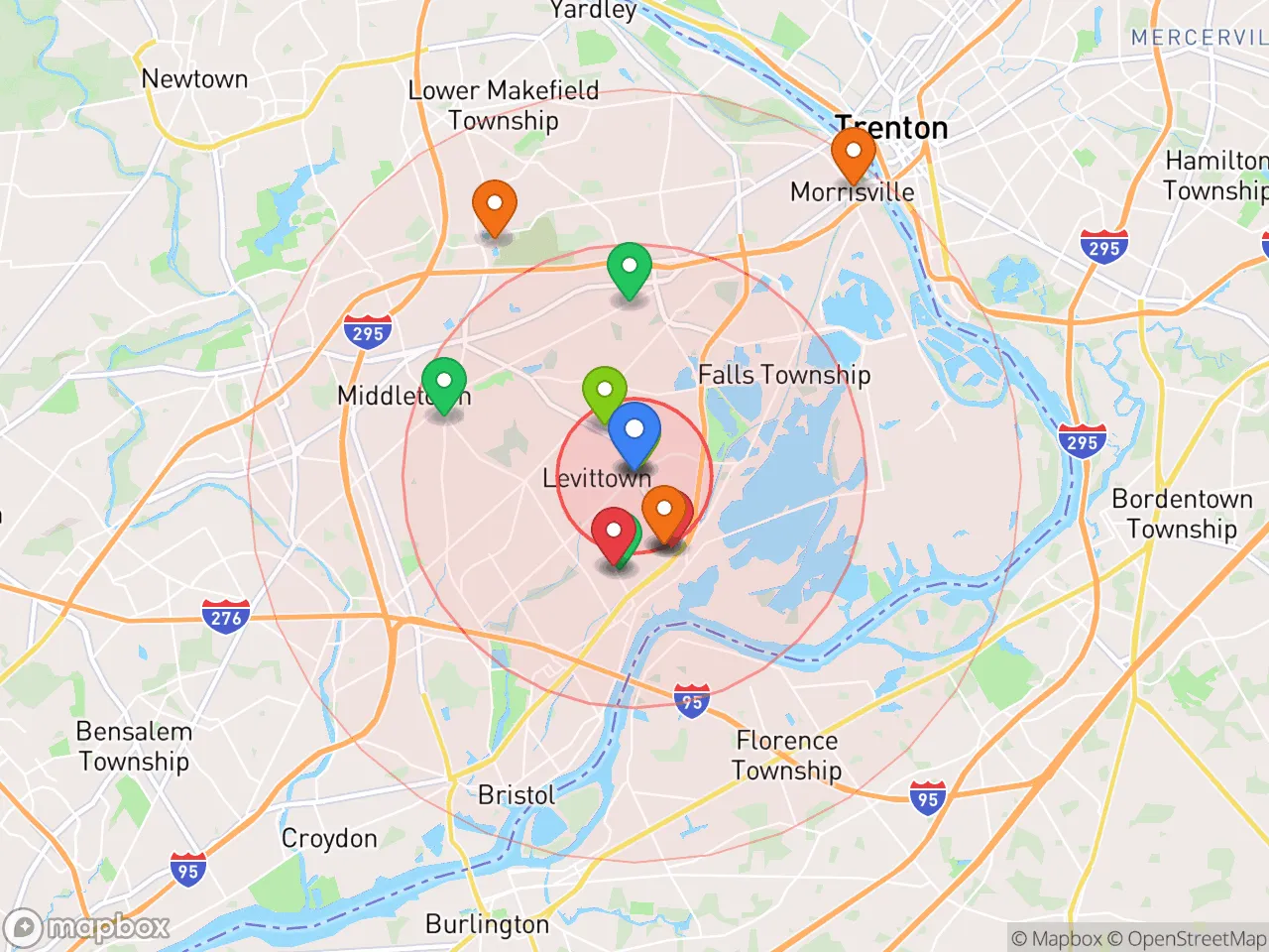
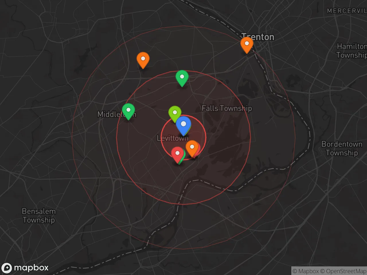
Hobbies
Explore the areaGroceries
0 within 10 miles
Gas
0 within 10 miles
Hospital
0 within 20 miles
Airport
PHL — Philadelphia International
Post Office
Critical Amenities
Quality-of-Life Analysis
Levittown, Pennsylvania, is a solidly middle-to-upper-middle-class suburban community where the cost of living runs 22% above the national average, attracting families and long-term residents who prioritize space, stability, and proximity to Philadelphia over urban nightlife. With a median home value of $311,000 and a median rent of $1,501, the area offers a more affordable entry point than the Philadelphia metro core, yet it commands a premium compared to neighboring towns like Bristol or Fairless Hills. The typical resident is a homeowner—often a commuter working in education, healthcare, or logistics—who values the area’s quiet, tree-lined streets and established school system over the faster pace of Center City.
Cost of living, housing affordability, and how Levittown compares to nearby areas
Levittown’s overall cost-of-living index of 122 means everyday expenses—groceries, utilities, and transportation—are about a fifth higher than the U.S. average, driven largely by housing. The median home value of $311,000 is roughly $30,000 less than the Philadelphia metro median, making it a relative bargain for buyers seeking a single-family home on a quarter-acre lot. Renters face a median of $1,501 per month, which is competitive with nearby Yardley ($1,700+) but notably cheaper than Newtown or Princeton. Property taxes in Bucks County average around 1.5% of assessed value, which is moderate for southeastern Pennsylvania. The average commute of 28.9 minutes—longer than the national average of 26 minutes—reflects the area’s role as a bedroom community, with many residents driving to jobs in Philadelphia, Trenton, or the Route 1 corridor. For those willing to trade a slightly longer drive for lower home prices, Levittown offers a clear value proposition over pricier suburbs like Doylestown or Langhorne.
What daily life is like for families: schools, parks, and local amenities
Daily life in Levittown revolves around the Neshaminy School District, which serves most of the township and consistently earns above-average ratings for academics and extracurriculars, with a student-teacher ratio of about 14:1. The area is dotted with community parks—such as the 40-acre Levittown Town Park with its sports fields and playgrounds—and the nearby Delaware Canal State Park offers hiking and biking trails along the river. Shopping is anchored by the Oxford Valley Mall and the Levittown Town Center, which provide grocery stores, big-box retailers, and chain restaurants. The rhythm is decidedly suburban: kids walk to neighborhood schools, weekend mornings are spent at soccer games or the local YMCA, and evenings are quiet. Public transit is limited to SEPTA’s Trenton Line rail service, which connects to Center City in about 45 minutes, but most residents rely on cars. The area lacks a vibrant downtown core—Levittown was originally a planned community built around cul-de-sacs and shopping plazas—so those seeking walkable coffee shops or nightlife will find it underwhelming.
Levittown is best suited for families and professionals who want a safe, affordable suburban base within commuting distance of Philadelphia and Trenton, and who are comfortable with a car-dependent, amenity-light lifestyle. Empty nesters and retirees on fixed incomes may find the cost-of-living index of 122 a stretch, especially with property taxes, but the area’s strong school system and low crime rates make it a reliable choice for raising children. Singles or young professionals craving urban energy should look closer to the city, but for those prioritizing square footage, yard space, and a predictable routine, Levittown delivers a solid return on investment.

Crime in Levittown, PA
Generally safer than 57% of comparable U.S. locations.
Violent CrimeViolent Crime Analysis
Property CrimeProperty Crime Analysis
Crime Analysis
Levittown, Pennsylvania, presents a mixed safety profile for prospective residents. The community's violent crime rate of 226.7 per 100,000 residents is notably lower than the national average, but its property crime rate of 1,347.3 per 100,000 exceeds both state and national benchmarks. As a large, unincorporated community within the Philadelphia metropolitan area, Levittown's crime dynamics are influenced by its proximity to a major urban center and the broader criminal justice policies of Bucks County.
Crime in context
When compared to Pennsylvania's statewide violent crime rate of approximately 300 per 100,000, Levittown's figure of 226.7 per 100,000 is roughly 24% lower. However, the property crime rate of 1,347.3 per 100,000 is significantly higher than the Pennsylvania average of about 1,100 per 100,000 and the national average of roughly 1,200 per 100,000. This disparity is a key concern for residents. The community's location within a large metro area means it is subject to the same regional crime trends and justice system philosophies as Philadelphia and its inner suburbs. Progressive judicial policies in the Philadelphia region, including those in Bucks County, have been criticized for prioritizing offender rehabilitation over public safety, leading to reduced sentences and lower bail amounts. This approach, while well-intentioned, can result in repeat offenders returning to the streets more quickly, directly impacting property crime rates in communities like Levittown.
What residents experience
For those living in Levittown, the most tangible safety concern is property crime. Theft from vehicles, package theft, and burglaries are the most frequently reported incidents. Violent crime, while less common, does occur and is often concentrated in specific areas. Residents should be aware that the progressive district attorney policies in Bucks County have led to a decline in prosecution rates for non-violent property offenses, which can embolden criminals. This creates a situation where a stolen package or a broken car window may not result in a meaningful investigation or arrest. Daily life for most families involves standard precautions: locking doors, using security cameras, and being vigilant at night. The community's strong neighborhood watch programs and active local police presence in some sections provide a counterbalance, but the overall effectiveness is hampered by a justice system that many feel is too lenient.
Neighborhood-level variation is significant in Levittown. The original "sections" of the planned community—such as Dogwood Hollow, Magnolia Hill, and Forsythia Gate—can have markedly different safety profiles. Sections closer to the Bristol Township line and major thoroughfares like Route 13 tend to report higher property crime rates. Conversely, areas further from these corridors, particularly those with a higher density of owner-occupied homes and active homeowners' associations, often experience lower crime. Prospective residents are strongly advised to examine crime maps for specific blocks and to speak with local police about the particular section they are considering, as the difference between a safe street and a problematic one can be just a few blocks.
* Values derived from national, state, county, city and local statistics and may differ in a specific area. Last updated: 2026-08-11T09:15:02.000Z
Narrative content on this page is AI-generated and may contain mistakes. Verify any details that matter before acting on them.
ReloMaps may earn a commission from affiliate links at no extra cost to you.

