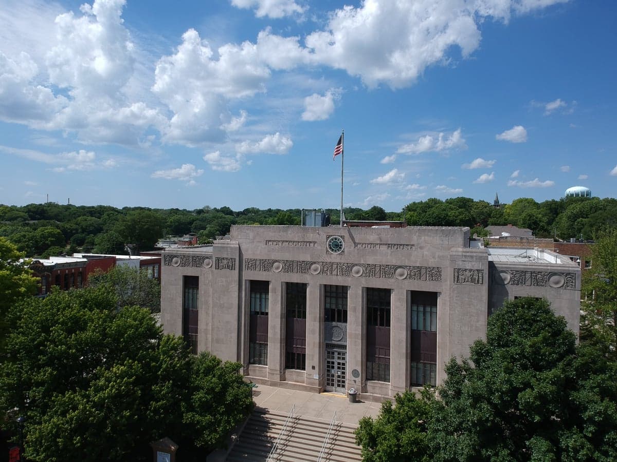
Photo: Wikipedia
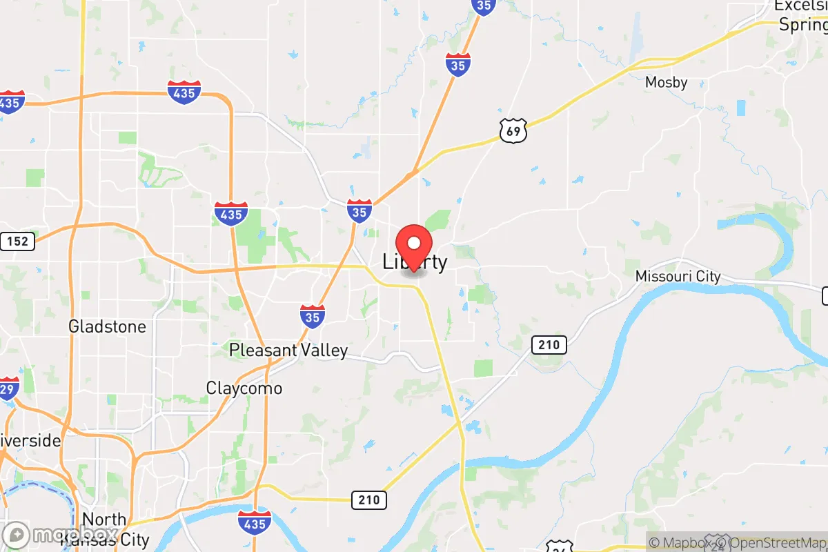
Strategic Assessment of Liberty, MO
Multiple tactical vulnerabilities. Population density, target proximity, or disaster risk are likely compounding. A retreat property and exit planning is required.
What does the Strategic Assessment tell us?
Our Strategic Assessment grades tactical survivability of an area. Major population centers, military targets, fallout zones, natural disasters, and border exposure all drive risk — lower exposure means a more defensible position in a crisis.
This is heavily inspired by Joel Skousen's Strategic Relocation book. Highly recommended you checkout the book ($)What does this tell us?
Our Strategic Assessment grades tactical survivability of an area. Major population centers, military targets, fallout zones, natural disasters, and border exposure all drive risk — lower exposure means a more defensible position in a crisis.
This is heavily inspired by Joel Skousen's Strategic Relocation book. Highly recommended you checkout the book ($)Strategic Pillars

Key Distances
Regional Safe Places
Below is our recommended "safe zones" in Missouri and the surrounding area based on our strategic heuristics. For most people, it's unrealistic to live in a “safe zone” full-time due to work, family or other personal reasons. They tend to be more rural. However, many of these areas are perfect for second homes and retreat properties that double as a vacation home or even a short-term rental.


Important Note: For informational purposes only. This does not mean nothing bad ever happens in the green zones. Please use common sense. This is based on public data and modeled with AI. We tried to take a conservative approach but mistakes happen. We update this regularly as new information becomes available.
Solar Generator Recommendations
Backup power matters more here than in safer locations. We've picked three solar generators across budgets and capacity tiers — start with the budget unit if you only need a few essentials, or step up if you want to run a fridge and HVAC for days at a time.

Jackery Portable Power Station Explorer 300
Budget OptionPower on the Go: Weighing only 11 lbs, it's convenient to set up and store with book-sized foldable solar panels

BLUETTI Portable Power Station AC180
Designed for both indoor and outdoor scenarios, AC180 is highly capable as it has a robost capacity and continuous output power.

EF ECOFLOW DELTA Pro Ultra Power Station
Upgraded PickEcoFlow DELTA Pro Ultra is a whole-home energy system designed to grow with your family. Integrated with the Smart Home Panel 2, it scales to meet your evolving energy needs — keeping your home powered, intelligent, and secure through every stage of life.
We earn a commission, at no additional cost to you.
Strategic Assessment Analysis
Liberty, Missouri, occupies a strategic niche that balances proximity to a major metropolitan hub with the tangible advantages of a smaller, more self-reliant community. For the individual or family operating from a prepper or survivalist mindset, this city offers a unique blend of resilience and risk. Its position in Clay County, roughly 20 minutes from downtown Kansas City, provides access to regional resources while maintaining a distinct, slower-paced identity. The key question for a relocator is whether Liberty’s advantages—its strong local governance, agricultural hinterland, and community cohesion—outweigh the inherent vulnerabilities of being within the blast radius and fallout zone of a major population center. This analysis examines Liberty through a strategic lens, focusing on location, risks, and practical resilience for those preparing for civic unrest, mass casualty events, or systemic collapse.
Geographic position and natural advantages for long-term security
Liberty’s geographic setting is defined by its position on the bluffs overlooking the Missouri River, a natural elevation that provides a modest defensive advantage against flooding and offers commanding views of the surrounding terrain. The city sits within the fertile Missouri River Valley, which historically has been a breadbasket region. For a prepper, this means access to rich soil for gardening, ample rainfall (averaging around 40 inches annually), and a growing season that supports a wide variety of crops. The area is also part of the larger Kansas City metropolitan statistical area, but Liberty itself is surrounded by rural Clay County, with significant tracts of farmland and undeveloped woodland to the north and east. This creates a buffer zone that can slow the spread of urban unrest or disease vectors. The city’s water supply is drawn from the Missouri River via the Kansas City Water Services Department, but many rural homes in the county rely on private wells, offering a decentralized water option for those who choose to live just outside city limits. The terrain is gently rolling, with limestone bedrock that provides stable foundations for underground shelters or root cellars. Liberty’s location also places it within a day’s drive of multiple biomes—the Ozarks to the south, the Great Plains to the west—offering escape routes if needed. However, the city’s proximity to Interstate 35 and Highway 291 means it is a transit corridor, which can be a double-edged sword: good for supply movement in normal times, but a potential funnel for refugees or looters during a crisis.
Risks, exposures, and proximity to fallout-relevant landmarks
The most significant strategic liability for Liberty is its proximity to Kansas City, a major transportation hub and population center of over 500,000 people. In the event of a nuclear exchange, a terrorist attack, or a large-scale industrial accident, Liberty lies within the moderate fallout zone for a ground burst on downtown Kansas City. Depending on wind patterns, radioactive particles could reach the area within hours. The city is also roughly 40 miles from Whiteman Air Force Base, home to the B-2 Spirit stealth bomber—a high-value target in any conflict. This proximity to a strategic military asset elevates Liberty’s risk profile considerably. Additionally, the Missouri River itself is a potential hazard: flooding is a recurring issue, with the 1993 and 2019 floods causing significant damage to low-lying areas near the river. For a prepper, this means any bug-out location or cache must be on high ground. On the civic unrest front, Liberty’s relatively conservative leanings (Clay County voted +12 Republican in the 2024 presidential election) may make it a target for left-wing agitators from Kansas City during periods of civil strife. The city’s police force is well-regarded but small—around 60 officers—meaning it could be overwhelmed quickly if a mass evacuation from Kansas City occurs. The nearby Kansas City International Airport (MCI) is a potential point of disease introduction or terrorist activity. Finally, Liberty is situated near the New Madrid Seismic Zone, which, while not an immediate threat, could produce a major earthquake (magnitude 7.0 or greater) that would disrupt infrastructure across the region, including natural gas pipelines and power grids.
Practical resilience for a relocator: food, water, energy, and defensibility
For a relocator with a prepper mindset, Liberty offers a mixed bag of practical resilience factors. Food security is a strong point: the surrounding Clay County has numerous farms, farmers’ markets, and a strong local food culture. The Liberty Farmers Market operates seasonally, and the city’s zoning allows for backyard chickens and small livestock within city limits, subject to permits. For long-term storage, the area’s low humidity (relative to the Gulf Coast) is favorable for dry goods. Water security is more complex. City water is treated and reliable, but dependent on the Kansas City system. A private well on a rural property within a 10-minute drive of Liberty is a far better option, with depths typically ranging from 100 to 300 feet. Rainwater catchment is legal and practical, given the area’s precipitation. Energy resilience is a weak point. Liberty is served by Evergy, which has a mixed record on grid reliability during ice storms and heat waves. Solar panel adoption is growing but not yet widespread; a grid-tied system with battery backup is advisable. Natural gas is available in most of the city, which is useful for cooking and heating during power outages. Defensibility is moderate. Liberty’s layout is a mix of historic downtown grid and suburban sprawl, with limited natural chokepoints. The city’s police and fire departments are professional, but response times in the outer subdivisions can be 10-15 minutes. For a family, the best defensive posture is a rural property on a dead-end road with good sightlines, just outside the city limits—areas like the unincorporated communities of Kearney or Excelsior Springs offer better defensibility while still being within 20 minutes of Liberty’s hospitals and supply chains. The William Jewell College campus could serve as a community rallying point in a crisis, given its established infrastructure and open spaces.
The overall strategic picture for Liberty, Missouri, is one of calculated trade-offs. It is not a remote bunker location, nor is it a high-risk urban core. For the conservative-leaning prepper, Liberty offers a viable base of operations that balances access to resources with a degree of separation from the most acute threats. The city’s strong community institutions, relatively low crime rate (violent crime is about 40% below the national average), and agricultural surroundings provide a foundation for long-term sustainability. However, the proximity to Kansas City and Whiteman Air Force Base means that a comprehensive plan for evacuation or sheltering in place is non-negotiable. A relocator should prioritize a property with a private well, solar capability, and a defensible perimeter, ideally on the northern or eastern edges of the county. Liberty is a solid choice for those who want to be prepared without going off-grid entirely—but it demands vigilance, a robust supply chain, and a clear-eyed understanding of the risks that come with living near a major target. For the serious strategist, it is a location to watch, not to bet everything on.
* Values derived from national, state, county, city and local statistics and may differ in a specific area. Last updated: 2026-04-30T02:22:09.000Z
Narrative content on this page is AI-generated and may contain mistakes. Verify any details that matter before acting on them.
ReloMaps may earn a commission from affiliate links at no extra cost to you.