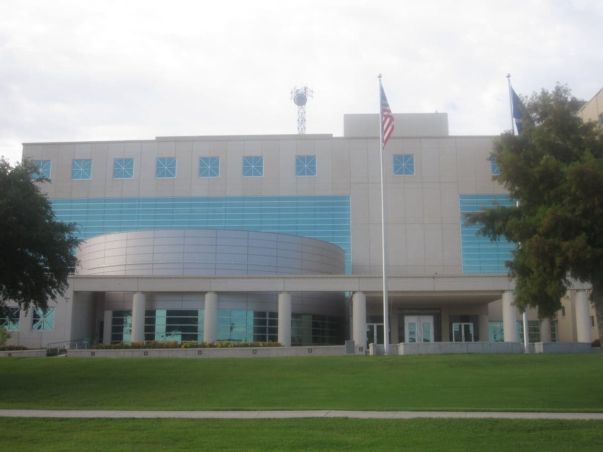
Photo: Wikipedia
Strategic Assessment of Bossier County
Workable tactical position. Some exposure to population density or targets, but generally defensible in a crisis.
What does the Strategic Assessment tell us?
Our Strategic Assessment grades tactical survivability of an area. Major population centers, military targets, fallout zones, natural disasters, and border exposure all drive risk — lower exposure means a more defensible position in a crisis.
This is heavily inspired by Joel Skousen's Strategic Relocation book. Highly recommended you checkout the book ($)What does this tell us?
Our Strategic Assessment grades tactical survivability of an area. Major population centers, military targets, fallout zones, natural disasters, and border exposure all drive risk — lower exposure means a more defensible position in a crisis.
This is heavily inspired by Joel Skousen's Strategic Relocation book. Highly recommended you checkout the book ($)Strategic Pillars

Key Distances
Strategic Assessment Analysis
Bossier County, Louisiana, offers a strategic relocation option for those prioritizing disaster readiness and self-sufficiency, balancing the benefits of a growing regional economy with the risks inherent in its location. Situated in the northwestern corner of the state, the county benefits from a relatively stable geography, a strong local economy anchored by Barksdale Air Force Base, and a community culture that leans toward preparedness. However, its proximity to the Ark-La-Tex industrial corridor and the potential for severe weather events means a relocator must weigh both natural and man-made risks carefully before committing to the area.
Geographic position and natural advantages for self-sufficiency
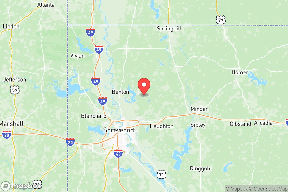
Bossier County sits on the western bank of the Red River, directly across from its larger neighbor, Shreveport, in Caddo Parish. This location places it within the Piney Woods ecoregion, a landscape of rolling hills, mixed pine-hardwood forests, and numerous small waterways that offer both natural beauty and practical advantages for self-sufficient living. The county's topography is notably free of the coastal floodplain issues that plague southern Louisiana, with most of the land sitting at elevations between 150 and 300 feet above sea level. This elevation, combined with well-draining sandy loam soils, makes the area suitable for private wells, septic systems, and small-scale agriculture—key considerations for anyone seeking to reduce reliance on municipal infrastructure. The Red River itself provides a substantial water source, though access is concentrated near the urbanized southern half of the county; northern areas like the communities of Benton, Princeton, and the rural stretches around the Bodcau Wildlife Management Area offer more seclusion and better access to groundwater. The county's position roughly 200 miles east of Dallas and 180 miles west of Jackson, Mississippi, places it far enough from major metropolitan centers to avoid the worst of urban collapse scenarios, yet close enough to access specialized supplies or medical care if needed.
Risks, exposures, and proximity to fallout-relevant landmarks
While Bossier County avoids the direct hurricane storm surge threats of the Gulf Coast, it sits squarely in the path of severe weather systems that spawn tornadoes and damaging straight-line winds. The county averages around 50 thunderstorm days per year, and the spring and fall months bring a heightened risk of EF-2 or stronger tornadoes, as demonstrated by the April 2024 outbreak that caused damage in the southern part of the county near the Shreveport-Bossier City metro area. Beyond weather, the most significant man-made risk comes from the county's proximity to the Ark-La-Tex petrochemical and industrial corridor. The Port of Shreveport-Bossier, located just across the Red River, handles barge traffic of chemicals, fuels, and agricultural products, while the nearby Haynesville Shale natural gas fields (with active drilling in the northern part of the county) introduce the risk of well blowouts or pipeline ruptures. For a relocator concerned with fallout-relevant landmarks, Barksdale Air Force Base, home to the 2nd Bomb Wing and B-52H Stratofortress bombers, is the most prominent strategic target in the region. The base sits in the southern portion of the county, roughly 5 miles from downtown Bossier City, meaning that any major conflict involving strategic bombing assets would place the entire southern half of the county within a high-risk zone. Additionally, the nearby Louisiana Army Ammunition Plant in Minden (Webster Parish, about 20 miles east) and the Calumet Shreveport refinery (just across the river) represent secondary industrial targets that could produce hazardous material releases even in a non-conflict scenario.
Practical resilience for a relocator: food, water, energy, and defensibility
For a relocator serious about self-sufficiency, Bossier County offers a mixed but workable picture. Water availability is generally good for those who choose rural properties outside the Bossier City municipal limits; the Sparta Aquifer, which underlies much of the region, provides clean groundwater at depths of 200 to 500 feet, and well drilling is a common practice in areas like the northern communities of Plain Dealing and Rocky Mount. However, the aquifer has experienced declining water levels in parts of the region, so a prospective buyer should verify well yields with local drillers before purchasing land. Food production potential is moderate: the growing season runs roughly 230 days (March through October), and the sandy loam soils are suitable for gardens, orchards, and small livestock operations, though the hot, humid summers require careful pest management and irrigation planning. The county has a strong hunting culture, with the Bodcau Wildlife Management Area and the Red River National Wildlife Refuge providing public access to deer, turkey, and waterfowl, though these areas would become crowded in a prolonged disruption scenario. Energy resilience is a notable strength: the Haynesville Shale play means natural gas is abundant and relatively cheap, and many rural properties already have propane tanks or backup generators. Solar potential is decent, with the region averaging about 5.0 peak sun hours per day, though the frequent cloud cover from Gulf moisture reduces reliability compared to the desert Southwest. Defensibility varies dramatically by location: the southern half of the county, particularly the Bossier City suburbs like the areas around Airline Drive and the Louisiana Boardwalk, is dense, grid-locked, and difficult to secure. In contrast, the northern half—especially the rural stretches between Benton and the Arkansas state line—offers the kind of low-density, road-network-limited terrain that makes perimeter security more feasible. The county's law enforcement presence is concentrated in the south, with the Bossier Parish Sheriff's Office maintaining substations in Benton and Plain Dealing, but response times in the far northern reaches can exceed 30 minutes.
Overall, Bossier County presents a viable but nuanced strategic option for the disaster-conscious relocator. Its greatest strengths are its inland geography (which spares it from the worst of hurricane storm surge and tsunami risks), its abundant groundwater and natural gas resources, and the availability of affordable rural land in the northern half of the county. Its greatest weaknesses are the presence of Barksdale Air Force Base as a strategic target, the tornado and severe weather risk, and the growing urbanization of the Bossier City metro area, which could become a liability in a grid-down scenario. For a single individual or family willing to locate north of the I-20 corridor, invest in a well and backup power, and maintain a low profile, the county offers a reasonable balance of accessibility and resilience. Those seeking maximum isolation should look further north into Webster or Claiborne parishes, but for a relocator who wants to remain within a few hours of a major medical center (Shreveport's Ochsner LSU Health system is about 20 minutes from Benton) while still maintaining a self-sufficient property, Bossier County deserves serious consideration.

* Values derived from national, state, county, city and local statistics and may differ in a specific area. Last updated: 2026-08-08T11:32:22.000Z
Narrative content on this page is AI-generated and may contain mistakes. Verify any details that matter before acting on them.
ReloMaps may earn a commission from affiliate links at no extra cost to you.

