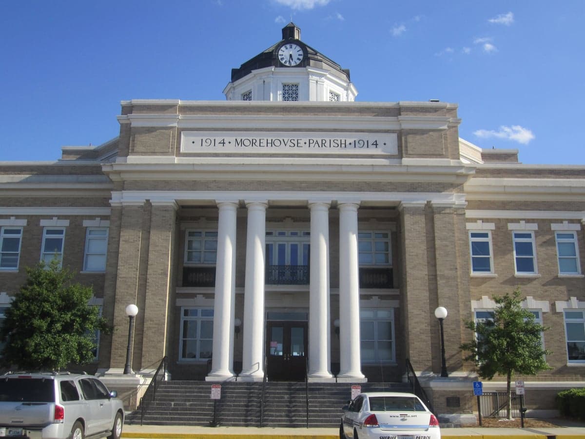
Photo: Wikipedia
Strategic Assessment of Morehouse County
Strong survivability profile. Good buffer from population centers, with manageable environmental and tactical risks.
What does the Strategic Assessment tell us?
Our Strategic Assessment grades tactical survivability of an area. Major population centers, military targets, fallout zones, natural disasters, and border exposure all drive risk — lower exposure means a more defensible position in a crisis.
This is heavily inspired by Joel Skousen's Strategic Relocation book. Highly recommended you checkout the book ($)What does this tell us?
Our Strategic Assessment grades tactical survivability of an area. Major population centers, military targets, fallout zones, natural disasters, and border exposure all drive risk — lower exposure means a more defensible position in a crisis.
This is heavily inspired by Joel Skousen's Strategic Relocation book. Highly recommended you checkout the book ($)Strategic Pillars

Key Distances
Strategic Assessment Analysis
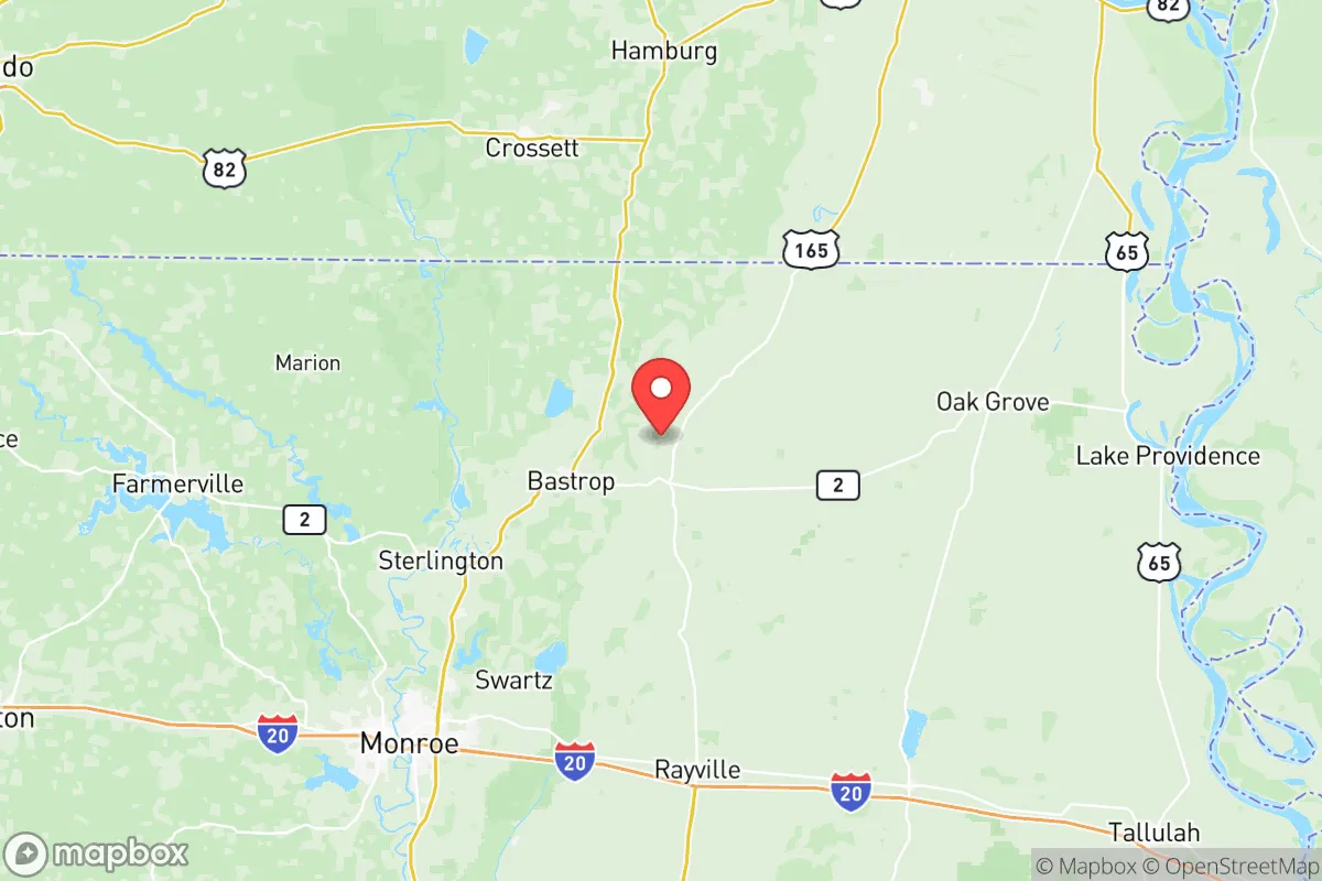
Morehouse County, Louisiana, offers a strategic relocation option for those prioritizing resilience and self-sufficiency, anchored by its position in the northeastern corner of the state, far from the hurricane-prone Gulf Coast and the dense urban corridors of the South. The county seat of Bastrop serves as the area's commercial and logistical hub, while the nearby cities of Monroe (30 miles west) and the Arkansas border towns of El Dorado and Crossett provide regional access without the congestion and vulnerability of major metropolitan centers. This positioning gives residents a genuine buffer from the fallout risks associated with large population centers, industrial complexes, and military installations, while still maintaining reasonable access to healthcare, supplies, and transportation networks like US-165 and I-20.
Geographic position and natural advantages for long-term security
Morehouse County sits on the western edge of the Mississippi Alluvial Plain, a region characterized by relatively flat terrain, abundant surface water, and fertile soils—factors that directly support food production and water security. The county is drained by the Bayou Bartholomew and the Ouachita River, both of which provide reliable freshwater sources and natural barriers that can slow movement or serve as defensible perimeters. Unlike areas in the Texas Panhandle or the arid West, this region receives ample rainfall (averaging 50-55 inches annually), reducing the risk of prolonged drought and making off-grid water collection and small-scale agriculture viable. The county's low population density—roughly 25,000 residents spread over 800 square miles—means that even in a crisis scenario, competition for local resources would be far less intense than in suburban or urban settings. Furthermore, the area is situated well inland from the Gulf of Mexico, placing it outside the typical storm surge zones and reducing the likelihood of catastrophic hurricane damage, though inland flooding from slow-moving systems remains a manageable risk.
Risks, exposures, and proximity to fallout-relevant landmarks
While Morehouse County benefits from its distance from major targets, it is not entirely free from exposure. The most significant nearby industrial infrastructure is the Entergy Louisiana's Sterlington power plant (a natural gas facility) roughly 20 miles southwest, and the Crossett paper mill complex just across the Arkansas line—both of which could be secondary targets or sources of hazardous material releases in a conflict scenario. The county also lies within 100 miles of the Louisiana Army Ammunition Plant near Minden and the Barksdale Air Force Base in Bossier City, both of which are high-value military assets that could attract kinetic or cyber attacks. However, the prevailing wind patterns (generally from the south and southwest) mean that fallout from a strike on Barksdale or the Shreveport-Bossier City metro area would likely be carried northeast, away from Morehouse County. The primary natural risk is riverine flooding from the Ouachita and Bayou Bartholomew during prolonged rain events, but this is a localized hazard that can be mitigated by choosing higher ground east of Bastrop or near the Arkansas line. Tornado risk is moderate, consistent with the broader Deep South, but the county's low tree density and open agricultural fields reduce the likelihood of widespread debris hazards compared to forested regions.
Practical resilience for a relocator: food, water, energy, and defensibility
For a relocator serious about self-sufficiency, Morehouse County presents a strong practical profile. Water security is excellent: the Sparta Aquifer, one of the most productive groundwater sources in the South, underlies the entire county, and many rural properties already rely on private wells. Surface water from Bayou Bartholomew and the Ouachita River is accessible for irrigation and non-potable uses, though treatment would be necessary for drinking. Food production is viable due to the county's agricultural base—soybeans, cotton, corn, and cattle operations are common—and the presence of local farmers' markets in Bastrop and the nearby town of Mer Rouge. Small-scale gardening and livestock raising are feasible on parcels as small as 5-10 acres, and the long growing season (March to November) allows for multiple harvest cycles. Energy resilience is a mixed picture: the grid is served by Entergy Louisiana, which has a history of storm-related outages, but the county's low population density means that restoration times can be slower than in urban areas. Solar panel viability is good, with roughly 200 sunny days per year, and backup propane or diesel generators are common among rural residents. Defensibility is enhanced by the county's geography: the Ouachita River forms a natural western boundary, and the network of rural roads and bayous creates chokepoints that can be monitored. The local law enforcement presence is limited (the Morehouse Parish Sheriff's Office has roughly 40 deputies for the entire county), so community-based security arrangements and personal preparedness are essential. The nearest major medical center is Glenwood Regional Medical Center in West Monroe, about 35 minutes from Bastrop, which is adequate for routine care but would be a significant drive in a crisis.
Overall, Morehouse County offers a balanced strategic picture for the resilience-minded relocator: it is far enough from major targets to avoid the worst fallout scenarios, yet close enough to regional infrastructure (Monroe's airport, I-20, and the Port of Lake Providence) to maintain supply lines and evacuation options. The combination of abundant water, fertile land, low population density, and a climate that supports year-round food production makes it one of the more viable locations in the Lower Mississippi Valley for long-term self-sufficiency. The trade-offs are real—limited healthcare access, a slower pace of life, and the need for personal investment in backup power and water systems—but for those willing to put in the work, the county provides a defensible, resource-rich base that avoids the vulnerabilities of both the Gulf Coast and the urbanized I-10/I-20 corridors. It is not a bug-out location for the unprepared, but a solid foundation for a deliberate, prepared relocation.

* Values derived from national, state, county, city and local statistics and may differ in a specific area. Last updated: 2026-08-05T00:04:23.000Z
Narrative content on this page is AI-generated and may contain mistakes. Verify any details that matter before acting on them.
ReloMaps may earn a commission from affiliate links at no extra cost to you.

