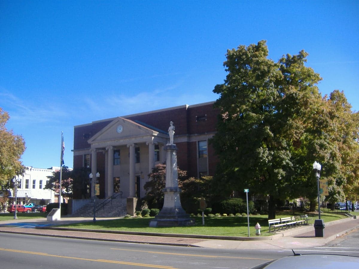
Photo: Wikipedia
Strategic Assessment of Madisonville, KY
Workable tactical position. Some exposure to population density or targets, but generally defensible in a crisis.
What does the Strategic Assessment tell us?
Our Strategic Assessment grades tactical survivability of an area. Major population centers, military targets, fallout zones, natural disasters, and border exposure all drive risk — lower exposure means a more defensible position in a crisis.
This is heavily inspired by Joel Skousen's Strategic Relocation book. Highly recommended you checkout the book ($)What does this tell us?
Our Strategic Assessment grades tactical survivability of an area. Major population centers, military targets, fallout zones, natural disasters, and border exposure all drive risk — lower exposure means a more defensible position in a crisis.
This is heavily inspired by Joel Skousen's Strategic Relocation book. Highly recommended you checkout the book ($)Strategic Pillars

Key Distances
Regional Safe Places
Below is our recommended "safe zones" in Kentucky and the surrounding area based on our strategic heuristics. For most people, it's unrealistic to live in a “safe zone” full-time due to work, family or other personal reasons. They tend to be more rural. However, many of these areas are perfect for second homes and retreat properties that double as a vacation home or even a short-term rental.


Important Note: For informational purposes only. This does not mean nothing bad ever happens in the green zones. Please use common sense. This is based on public data and modeled with AI. We tried to take a conservative approach but mistakes happen. We update this regularly as new information becomes available.
Solar Generator Recommendations
Backup power matters more here than in safer locations. We've picked three solar generators across budgets and capacity tiers — start with the budget unit if you only need a few essentials, or step up if you want to run a fridge and HVAC for days at a time.

Jackery Portable Power Station Explorer 300
Budget OptionPower on the Go: Weighing only 11 lbs, it's convenient to set up and store with book-sized foldable solar panels

BLUETTI Portable Power Station AC180
Designed for both indoor and outdoor scenarios, AC180 is highly capable as it has a robost capacity and continuous output power.

EF ECOFLOW DELTA Pro Ultra Power Station
Upgraded PickEcoFlow DELTA Pro Ultra is a whole-home energy system designed to grow with your family. Integrated with the Smart Home Panel 2, it scales to meet your evolving energy needs — keeping your home powered, intelligent, and secure through every stage of life.
We earn a commission, at no additional cost to you.
Strategic Assessment Analysis
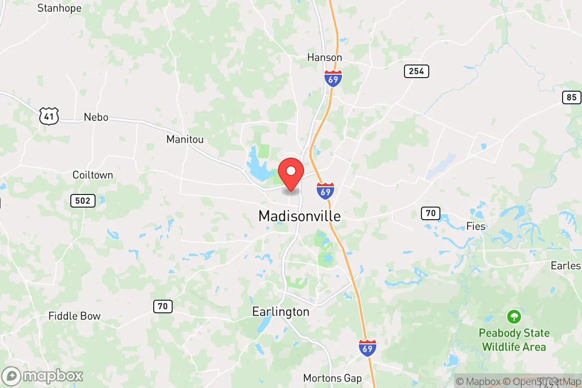
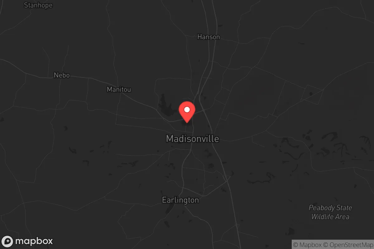
Madisonville, Kentucky, sits in a sweet spot that few relocators fully appreciate: far enough from major metros to dodge the worst of cascading failures, yet close enough to two major interstates to move when you must. This Hopkins County seat of roughly 20,000 people offers a resilience profile that leans heavily on geographic obscurity, a robust local food system, and a community that still remembers how to do things without a smartphone. For the conservative-minded prepper looking at the long arc of national instability, Madisonville isn't flashy—but it is defensible, resuppliable, and surprisingly well-positioned for a future that may not include Amazon Prime.
Geographic position and natural advantages for long-term stability
Madisonville’s primary strategic asset is its location at the junction of the Western Kentucky Parkway and the Pennyrile Parkway, giving you direct access to I-69 and I-24 within 30 minutes. That means you can reach Evansville, Nashville, or Paducah in under 90 minutes when things are normal, but you’re not living in their blast radius or traffic chaos when they aren’t. The area sits atop the Western Kentucky Coal Field, but more importantly, it’s underlain by the Mississippian Plateau aquifer—a reliable groundwater source that doesn’t depend on surface reservoirs vulnerable to drought or contamination. The terrain is gently rolling, not mountainous, which means good road access in winter and fewer choke points for evacuation or supply runs. The Ohio River is 45 minutes north, providing a secondary water and transport corridor, but you’re not so close that a river-level disaster (chemical spill, levee failure) directly threatens your home. The local climate is temperate, with four distinct seasons and an average 48 inches of rain per year—enough to support serious gardening and rainwater catchment without the humidity extremes of the Deep South. For a relocator thinking in decades, not election cycles, this is a land that can feed itself.
Risks, exposures, and proximity to fallout-relevant landmarks
No location is immune, and Madisonville has its own set of vulnerabilities that a serious prepper must weigh. The most obvious is the Tennessee Valley Authority’s Paradise Combined Cycle Plant, about 25 miles southwest near Drakesboro. It’s a natural gas facility, not nuclear, so the risk is more about grid dependency than radiological catastrophe—but it’s still a critical infrastructure node that could become a target during cyber or kinetic attacks on the energy sector. Closer to home, the Hopkins County Coal plant (now largely decommissioned) and the numerous underground coal mines in the region present subsidence risks; some neighborhoods near old mine works have experienced sinkholes and structural settling. On the human threat side, Madisonville is 45 minutes from the Western Kentucky Correctional Complex in Fredonia and an hour from the Kentucky State Penitentiary in Eddyville. Prison breaks are rare, but during civil unrest, these facilities could become flashpoints or sources of wandering populations. The bigger concern is the I-69 corridor itself: in a national emergency, that highway becomes a funnel for refugees from Nashville (2 hours south) and Evansville (1 hour north). Madisonville’s position as a regional retail and medical hub (Baptist Health Deaconess Madisonville is the largest hospital between Nashville and Evansville) means it will attract both help and trouble. The local police force is competent but small—about 40 sworn officers for the city—so in a prolonged breakdown, you’re largely on your own after the first 72 hours.
Practical resilience for a relocator: food, water, energy, and defensibility
Where Madisonville truly shines for the survivalist mindset is in the basics of daily life after a disruption. The surrounding Hopkins County is one of Kentucky’s top agricultural producers, with significant corn, soybean, and livestock operations. The local farmers’ market operates from May through October, and there are at least a half-dozen U-pick orchards and vegetable stands within a 15-minute drive of the town square. For long-term food security, the soil here is loamy and well-drained—ideal for a serious garden or small homestead. Water is abundant: the city draws from the Tradewater River and multiple deep wells, but most rural properties in the county have access to private wells at depths of 100-300 feet. A hand pump or solar-powered well setup is entirely feasible. Energy resilience is mixed: the local grid is served by the Kentucky Utilities system, which has a decent reliability record, but winter ice storms (like the 2009 event that knocked out power for two weeks in parts of the region) are a recurring threat. Solar is viable—the area gets about 200 sunny days per year—and there are no HOA restrictions in the unincorporated parts of the county that would prevent panels or a backup generator. Defensibility is where Madisonville’s layout works in your favor. The town is compact, with a traditional grid pattern and a central courthouse square that can be secured with minimal manpower. The surrounding countryside is a patchwork of farm roads, creek beds, and wooded hollows that provide natural cover and multiple escape routes. The nearest National Guard armory is in Madisonville itself (on North Main), which is a double-edged sword: it means military assets are close, but it also means the town could become a staging area during a federal emergency, drawing unwanted attention.
The overall strategic picture for Madisonville is that of a solid B+ relocation choice for the conservative prepper who wants to be near enough to resources to thrive, but far enough from chaos to survive. It lacks the extreme isolation of the Mountain West or the deep bunker potential of the Ozarks, but it compensates with a functioning local economy, a community that still votes and prays and helps neighbors, and a geography that doesn’t require you to be a mountain man to make it work. The biggest risk is complacency: Madisonville feels safe, and that feeling can lull you into not preparing for the day when the interstates clog with refugees or the grid goes dark for a month. If you buy land here, dig your well, plant your garden, and make friends with your neighbors before the crisis hits, you’ll be in the top 5% of prepared Americans. If you show up expecting the government to handle it, you’ll be just another face in the crowd at the Hopkins County Courthouse, waiting for a FEMA check that may never come. Choose accordingly.
* Values derived from national, state, county, city and local statistics and may differ in a specific area. Last updated: 2026-04-21T09:22:06.000Z
Narrative content on this page is AI-generated and may contain mistakes. Verify any details that matter before acting on them.
ReloMaps may earn a commission from affiliate links at no extra cost to you.