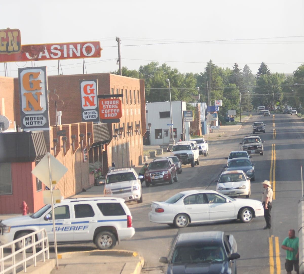
Photo: Wikipedia
Strategic Assessment of Malta, MT
Workable tactical position. Some exposure to population density or targets, but generally defensible in a crisis.
What does the Strategic Assessment tell us?
Our Strategic Assessment grades tactical survivability of an area. Major population centers, military targets, fallout zones, natural disasters, and border exposure all drive risk — lower exposure means a more defensible position in a crisis.
This is heavily inspired by Joel Skousen's Strategic Relocation book. Highly recommended you checkout the book ($)What does this tell us?
Our Strategic Assessment grades tactical survivability of an area. Major population centers, military targets, fallout zones, natural disasters, and border exposure all drive risk — lower exposure means a more defensible position in a crisis.
This is heavily inspired by Joel Skousen's Strategic Relocation book. Highly recommended you checkout the book ($)Strategic Pillars

Key Distances
Regional Safe Places
Below is our recommended "safe zones" in Montana and the surrounding area based on our strategic heuristics. For most people, it's unrealistic to live in a “safe zone” full-time due to work, family or other personal reasons. They tend to be more rural. However, many of these areas are perfect for second homes and retreat properties that double as a vacation home or even a short-term rental.
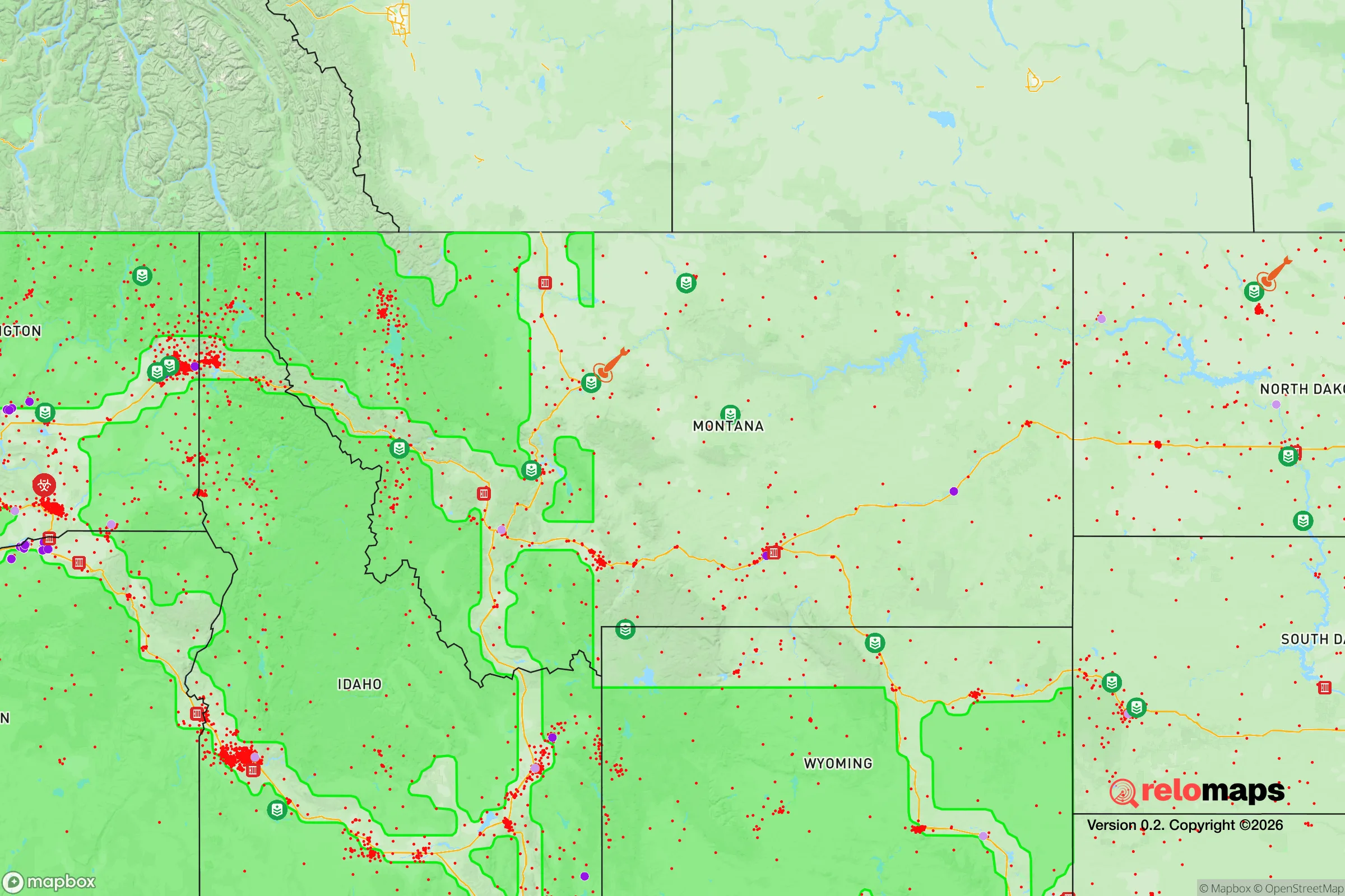

Important Note: For informational purposes only. This does not mean nothing bad ever happens in the green zones. Please use common sense. This is based on public data and modeled with AI. We tried to take a conservative approach but mistakes happen. We update this regularly as new information becomes available.
Solar Generator Recommendations
Backup power matters more here than in safer locations. We've picked three solar generators across budgets and capacity tiers — start with the budget unit if you only need a few essentials, or step up if you want to run a fridge and HVAC for days at a time.

Jackery Portable Power Station Explorer 300
Budget OptionPower on the Go: Weighing only 11 lbs, it's convenient to set up and store with book-sized foldable solar panels

BLUETTI Portable Power Station AC180
Designed for both indoor and outdoor scenarios, AC180 is highly capable as it has a robost capacity and continuous output power.

EF ECOFLOW DELTA Pro Ultra Power Station
Upgraded PickEcoFlow DELTA Pro Ultra is a whole-home energy system designed to grow with your family. Integrated with the Smart Home Panel 2, it scales to meet your evolving energy needs — keeping your home powered, intelligent, and secure through every stage of life.
We earn a commission, at no additional cost to you.
Strategic Assessment Analysis
Malta, Montana, sits in a part of the country that still feels like the frontier—a place where the nearest traffic light is a 40-minute drive and the nearest Walmart is over an hour away. For a relocator with a survivalist or prepper mindset, this isolation is the entire point. The town’s resilience isn’t built on infrastructure or government programs; it’s built on distance, low population density, and a geography that makes large-scale chaos hard to reach. If you’re looking for a location that offers a genuine buffer from the cascading failures of urban centers, Malta deserves a hard look.
Geographic position and natural advantages for long-term security
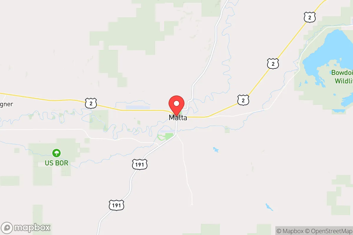
Malta is the seat of Phillips County, a vast, sparsely populated expanse in north-central Montana, roughly 40 miles south of the Canadian border and 120 miles east of the Rocky Mountain Front. The area’s defining feature is its sheer emptiness—Phillips County has about 4.5 people per square mile, one of the lowest densities in the lower 48. This isn’t just a statistic; it means that in a crisis, you’re not competing with millions for resources, and you’re not in anyone’s target zone. The Milk River runs through town, providing a reliable surface water source, and the surrounding plains are underlain by the Judith River Formation, which holds significant groundwater aquifers. The local topography is rolling prairie with occasional breaks and buttes, offering natural defensibility for a properly sited homestead. Winters are harsh—average January highs are around 20°F—but that cold itself is a security asset: it discourages transient populations and limits the viability of many biological threats. The growing season is short (about 110 days), but the soil in the river valleys is productive enough for market gardens and small-scale agriculture. For a relocator, the key advantage is that Malta sits far from any major military installation, nuclear power plant, or strategic transportation hub. The closest city of any size is Havre (45 miles west), and Great Falls is 150 miles southwest. There is no interstate highway within 100 miles. This is not a place that will see refugee flows or military convoys in a crisis.
Risks, exposures, and proximity to fallout-relevant landmarks
No location is risk-free, and Malta has specific vulnerabilities that a serious prepper must account for. The most significant is its proximity to Malmstrom Air Force Base, located near Great Falls, about 150 miles southwest. Malmstrom is one of three U.S. Air Force bases that operate the Minuteman III intercontinental ballistic missile (ICBM) fleet. The missile silos are scattered across north-central Montana, and while none are immediately adjacent to Malta, the entire region is within the “missile field.” In a nuclear exchange scenario, this area would be a target—not for ground bursts on the town itself, but for airbursts over the silo fields, which could produce significant electromagnetic pulse (EMP) effects and fallout patterns depending on wind direction. The prevailing winds in this region are from the west and southwest, meaning fallout from strikes on the Malmstrom complex could drift toward Malta. A relocator needs to plan for a basement or shielded shelter with at least two weeks of supplies. Another risk is the town’s dependence on a single major road—U.S. Highway 2—which runs east-west across the northern tier. A bridge failure, blizzard, or civil unrest could cut off resupply. The nearest hospital is in Havre (45 miles), and it’s a critical access facility, not a trauma center. For serious medical emergencies, you’re looking at a life flight to Great Falls or Billings. There are no major rail yards, chemical plants, or dams within 50 miles, which reduces the risk of industrial accidents. The biggest natural threat is wildfire on the prairie, especially in drought years, but the flat terrain and lack of dense forest make this manageable with proper defensible space.
Practical resilience for a relocator: food, water, energy, and defensibility
For someone serious about self-sufficiency, Malta offers a workable but not easy path. Water is the first concern. The Milk River is the primary surface source, but it’s heavily allocated for irrigation and subject to seasonal low flows. A well is the better bet—most residential wells in the area tap into the Judith River Formation at depths of 100 to 300 feet, yielding water that is hard but potable with basic filtration. Annual precipitation is only about 12 inches, so rainwater catchment is supplemental at best. Food production is possible but requires effort. The short growing season limits crops to cold-hardy varieties: potatoes, carrots, beets, cabbage, and some grains. Livestock—cattle, sheep, goats, and poultry—are the backbone of local agriculture, and a relocator with acreage can raise meat and dairy. The local economy is ranching and oil-and-gas service, so skills like fencing, welding, and equipment repair are common and valued. Energy is straightforward: grid power is provided by Northwestern Energy, but outages are frequent in winter storms. Solar is viable—the area gets over 200 sunny days per year—but battery storage is essential for the long, dark winters. Wind is also a resource; small-scale turbines can supplement solar. For heating, propane is the standard, but wood is available from the Little Rocky Mountains (40 miles south) and the Missouri River Breaks. Defensibility is excellent. The low population density means you can own a parcel of 40 acres or more without neighbors in sight. The terrain offers natural cover from the buttes and coulees, and the lack of through-traffic means any approaching vehicle is noticeable. The local sheriff’s office is understaffed—typically two to three deputies on shift for the entire county—so law enforcement response times can exceed 30 minutes in rural areas. This is not a negative for a prepper; it means you are expected to be your own first responder. The local culture is heavily armed and self-reliant. Montana is a constitutional carry state, and Phillips County has a strong hunting tradition. You will not stand out for owning firearms or storing supplies.
The overall strategic picture for Malta is one of trade-offs. You trade away easy access to healthcare, supply chains, and social amenities for a genuine buffer from the collapse scenarios that worry many conservatives: urban unrest, supply chain disruptions, and federal overreach. The town is not a prepper fantasy—it’s a real, working-class community where people already live the lifestyle you’re considering. The winters are brutal, the economy is narrow, and the missile field is a sobering reality. But if your priority is a location where you can dig in, raise your own food, and watch the horizon for trouble, Malta offers a combination of isolation, water access, and cultural alignment that is hard to beat in the lower 48. It’s not for everyone, and it shouldn’t be. That’s exactly what makes it valuable.
* Values derived from national, state, county, city and local statistics and may differ in a specific area. Last updated: 2026-05-03T05:02:06.000Z
Narrative content on this page is AI-generated and may contain mistakes. Verify any details that matter before acting on them.
ReloMaps may earn a commission from affiliate links at no extra cost to you.