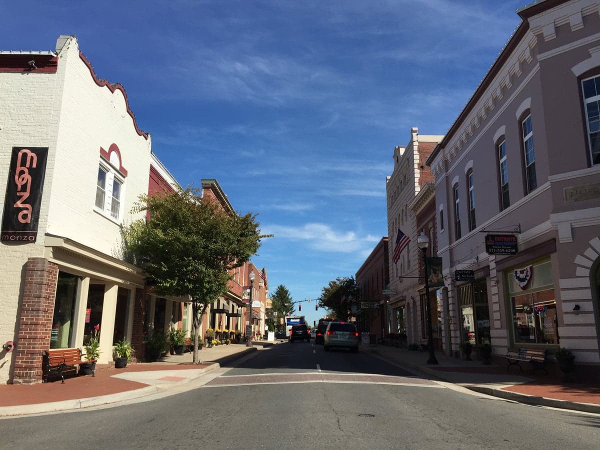
Photo: Wikipedia
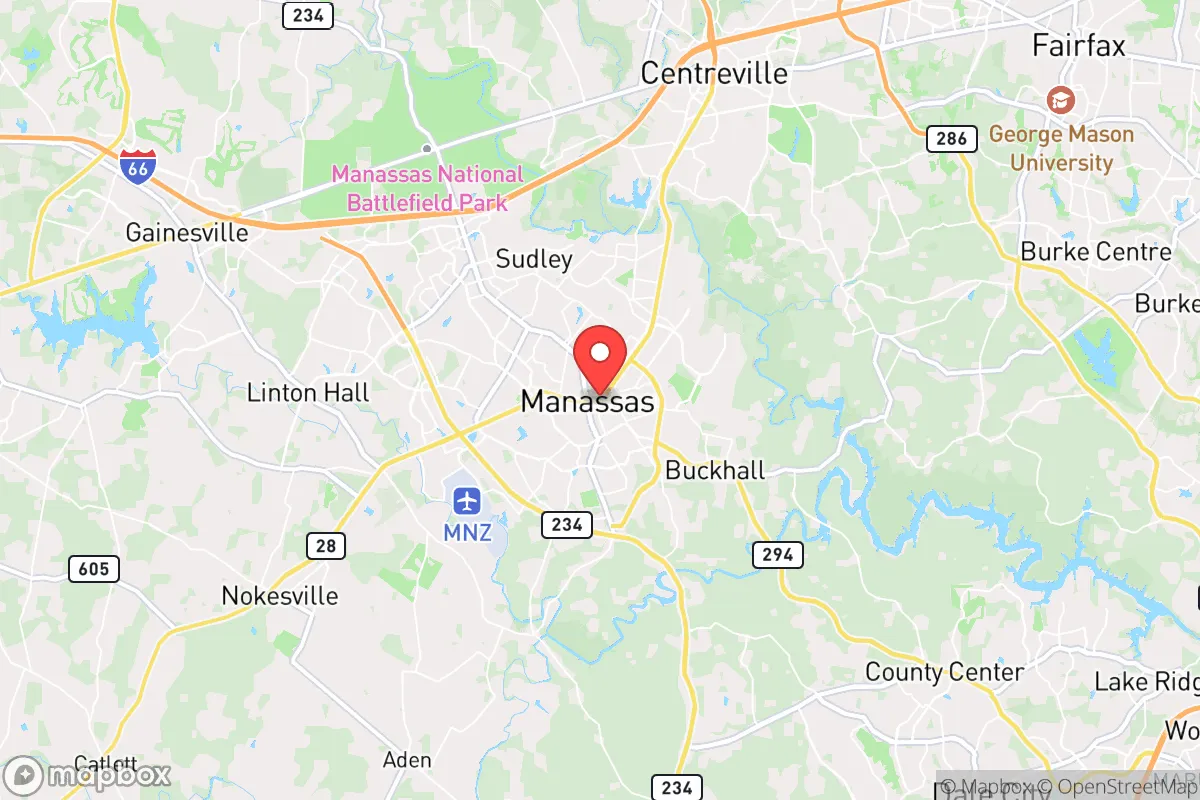
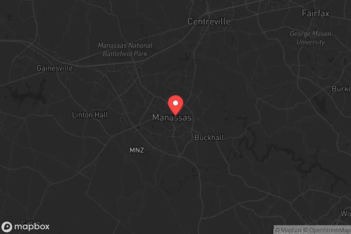
Strategic Assessment of Manassas, VA
Meaningful friction. Expect exposure to either population pressure, blast zones, or natural disaster risk. Consider buying a retreat property.
What does the Strategic Assessment tell us?
Our Strategic Assessment grades tactical survivability of an area. Major population centers, military targets, fallout zones, natural disasters, and border exposure all drive risk — lower exposure means a more defensible position in a crisis.
This is heavily inspired by Joel Skousen's Strategic Relocation book. Highly recommended you checkout the book ($)What does this tell us?
Our Strategic Assessment grades tactical survivability of an area. Major population centers, military targets, fallout zones, natural disasters, and border exposure all drive risk — lower exposure means a more defensible position in a crisis.
This is heavily inspired by Joel Skousen's Strategic Relocation book. Highly recommended you checkout the book ($)Strategic Pillars

Key Distances
Regional Safe Places
Below is our recommended "safe zones" in Virginia and the surrounding area based on our strategic heuristics. For most people, it's unrealistic to live in a “safe zone” full-time due to work, family or other personal reasons. They tend to be more rural. However, many of these areas are perfect for second homes and retreat properties that double as a vacation home or even a short-term rental.


Important Note: For informational purposes only. This does not mean nothing bad ever happens in the green zones. Please use common sense. This is based on public data and modeled with AI. We tried to take a conservative approach but mistakes happen. We update this regularly as new information becomes available.
Solar Generator Recommendations
Backup power matters more here than in safer locations. We've picked three solar generators across budgets and capacity tiers — start with the budget unit if you only need a few essentials, or step up if you want to run a fridge and HVAC for days at a time.

Jackery Portable Power Station Explorer 300
Budget OptionPower on the Go: Weighing only 11 lbs, it's convenient to set up and store with book-sized foldable solar panels

BLUETTI Portable Power Station AC180
Designed for both indoor and outdoor scenarios, AC180 is highly capable as it has a robost capacity and continuous output power.

EF ECOFLOW DELTA Pro Ultra Power Station
Upgraded PickEcoFlow DELTA Pro Ultra is a whole-home energy system designed to grow with your family. Integrated with the Smart Home Panel 2, it scales to meet your evolving energy needs — keeping your home powered, intelligent, and secure through every stage of life.
We earn a commission, at no additional cost to you.
Strategic Assessment Analysis
Manassas, Virginia, sits in a precarious but potentially strategic pocket for those serious about resilience. Its location—roughly 30 miles west of Washington, D.C., and 20 miles from the Pentagon—means you are close enough to monitor the pulse of the nation’s power center, but far enough to avoid the immediate blast radius of a major event. The city’s history as a Civil War crossroads underscores its geographic importance, but in a modern context, that same position makes it a double-edged sword: you can observe the collapse from a distance, but you are also on the likely evacuation route for millions fleeing the capital. For a conservative prepper, Manassas offers a mix of suburban infrastructure and rural adjacency, but the trade-offs are significant and demand clear-eyed planning.
Geographic position and natural advantages for long-term survival
Manassas sits in the Piedmont region, a transitional zone between the coastal plain and the Blue Ridge Mountains. This gives it a moderate climate with four distinct seasons, which is beneficial for food production and water management. The area receives about 40 inches of rain annually, and the Occoquan River and Bull Run provide surface water sources, though both are heavily impacted by upstream development. The soil is a mix of clay and loam, workable for gardening but not ideal for large-scale agriculture without amendment. The city’s elevation—around 300 feet—offers no significant defensive high ground, but the rolling hills and wooded patches to the west provide some natural cover and concealment. The proximity to Prince William Forest Park (over 15,000 acres) and the Bull Run Mountains Natural Area Preserve gives a relocator access to undeveloped land for bug-out locations or caching supplies. However, these areas are also popular with hikers and could become crowded during a crisis. The key natural advantage is the ability to tap into groundwater via wells, though many suburban lots in Manassas are on municipal water, which is a vulnerability if the grid goes down.
Risks, exposures, and proximity to fallout-relevant landmarks
The single biggest risk for a Manassas relocator is its proximity to Washington, D.C., and the associated fallout from a major event. In the event of a nuclear detonation at the Capitol or the Pentagon, prevailing winds from the west would carry fallout directly over Manassas within hours. The city is also within the blast overpressure zone for a ground burst at Quantico Marine Corps Base (20 miles south) or the Dahlgren Naval Surface Warfare Center (40 miles southeast). Beyond nuclear threats, Manassas sits near I-66 and Route 28, which are primary evacuation corridors. During a mass casualty event or civil unrest, these roads will become impassable within minutes. The city’s population of roughly 43,000 swells during the workday as commuters flood in, creating a target-rich environment for looters or organized groups. The Manassas Regional Airport is a potential asset for evacuation but also a likely target for seizure by government or military forces. The nearby data centers in Prince William County (the world’s largest concentration) are high-value targets for cyber or physical attacks, potentially causing cascading infrastructure failures. For a prepper, the risk profile is high: you are in the shadow of the beast, and any major event will bring chaos to your doorstep.
Practical resilience for a relocator: food, water, energy, and defensibility
Manassas offers a mixed bag for practical self-sufficiency. On the positive side, the city has a robust farmers’ market (the Manassas Farmers Market, operating since 1974) and several local farms within a 10-mile radius that could be bartered with or sourced from in a crisis. The Virginia Cooperative Extension office in Prince William County provides resources for home gardening and livestock, and zoning allows for backyard chickens in most residential areas. Water is the critical vulnerability: the city’s water comes from the Occoquan Reservoir, which is treated at the Fred M. Saugrain Water Treatment Plant. This plant is a single point of failure—if it goes down due to power loss or contamination, the entire city is dry. A relocator must have a plan for rainwater catchment or a private well, but drilling a well in Manassas can cost $5,000–$10,000 and requires permits. Energy is moderately resilient: Dominion Energy’s grid is reliable but vulnerable to EMP or cyberattack. Solar panels are viable (the area gets about 200 sunny days per year), but HOA restrictions in many subdivisions limit installation. Defensibility is poor in the city core—dense suburban housing with shared walls and open sightlines makes perimeter security difficult. The better bet is the rural fringe, like the areas near Nokesville or Bristow, where acreage allows for standoff distance and natural barriers. The Manassas National Battlefield Park offers historical cover but is a public space, not a defensible position. For a single individual or family, the best approach is to secure a property with a well, solar backup, and a defensible perimeter, then stockpile supplies for at least 90 days of isolation.
The overall strategic picture for Manassas is one of calculated risk. It is not a survivalist’s paradise—the proximity to D.C. and the associated fallout dangers are real and unavoidable. But for a conservative relocator who wants to stay close enough to monitor the situation while maintaining a foothold in a region with decent agricultural potential and moderate climate, it can work if you are disciplined. The key is to treat Manassas as a forward operating base, not a final redoubt. Have a bug-out plan to the west (Shenandoah Valley or West Virginia) pre-positioned, and keep your operational security tight. The city’s infrastructure is fragile, its population density is a liability, and the government’s response to a crisis will likely be heavy-handed. But if you are willing to put in the work—digging a well, hardening your home, building community with like-minded neighbors—Manassas can be a viable staging ground. Just don’t expect to ride out the apocalypse in comfort. This is a place to watch, wait, and be ready to move when the time comes.
* Values derived from national, state, county, city and local statistics and may differ in a specific area. Last updated: 2026-04-19T08:36:36.000Z
Narrative content on this page is AI-generated and may contain mistakes. Verify any details that matter before acting on them.
ReloMaps may earn a commission from affiliate links at no extra cost to you.