
Photo: Wikipedia
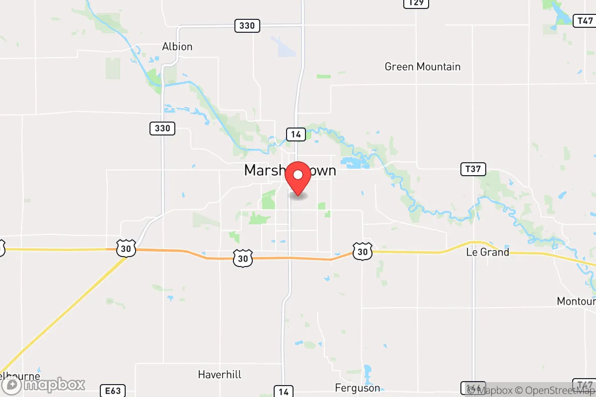
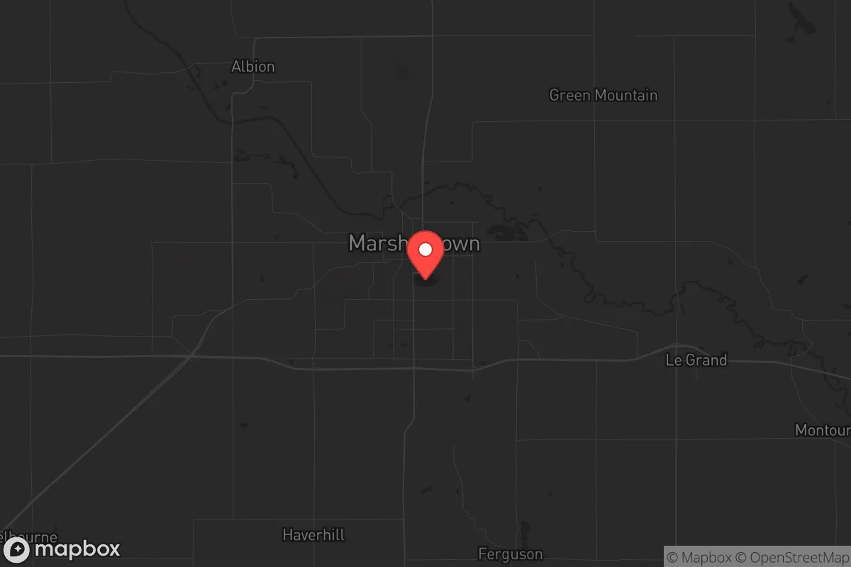
Strategic Assessment of Marshalltown, IA
Workable tactical position. Some exposure to population density or targets, but generally defensible in a crisis.
What does the Strategic Assessment tell us?
Our Strategic Assessment grades tactical survivability of an area. Major population centers, military targets, fallout zones, natural disasters, and border exposure all drive risk — lower exposure means a more defensible position in a crisis.
This is heavily inspired by Joel Skousen's Strategic Relocation book. Highly recommended you checkout the book ($)What does this tell us?
Our Strategic Assessment grades tactical survivability of an area. Major population centers, military targets, fallout zones, natural disasters, and border exposure all drive risk — lower exposure means a more defensible position in a crisis.
This is heavily inspired by Joel Skousen's Strategic Relocation book. Highly recommended you checkout the book ($)Strategic Pillars

Key Distances
Regional Safe Places
Below is our recommended "safe zones" in Iowa and the surrounding area based on our strategic heuristics. For most people, it's unrealistic to live in a “safe zone” full-time due to work, family or other personal reasons. They tend to be more rural. However, many of these areas are perfect for second homes and retreat properties that double as a vacation home or even a short-term rental.


Important Note: For informational purposes only. This does not mean nothing bad ever happens in the green zones. Please use common sense. This is based on public data and modeled with AI. We tried to take a conservative approach but mistakes happen. We update this regularly as new information becomes available.
Solar Generator Recommendations
Backup power matters more here than in safer locations. We've picked three solar generators across budgets and capacity tiers — start with the budget unit if you only need a few essentials, or step up if you want to run a fridge and HVAC for days at a time.

Jackery Portable Power Station Explorer 300
Budget OptionPower on the Go: Weighing only 11 lbs, it's convenient to set up and store with book-sized foldable solar panels

BLUETTI Portable Power Station AC180
Designed for both indoor and outdoor scenarios, AC180 is highly capable as it has a robost capacity and continuous output power.

EF ECOFLOW DELTA Pro Ultra Power Station
Upgraded PickEcoFlow DELTA Pro Ultra is a whole-home energy system designed to grow with your family. Integrated with the Smart Home Panel 2, it scales to meet your evolving energy needs — keeping your home powered, intelligent, and secure through every stage of life.
We earn a commission, at no additional cost to you.
Strategic Assessment Analysis
Marshalltown, Iowa, sits in a sweet spot that resilience-minded relocators should take seriously: far enough from major population centers to avoid the worst of cascading collapse, yet close enough to essential logistics and infrastructure to maintain a functional lifestyle. This central Iowa community of roughly 27,000 offers a strategic blend of agricultural self-sufficiency, industrial backbone, and geographic insulation that makes it a viable option for those looking to weather civic unrest, supply chain disruptions, or larger-scale disasters. The town's position along the Iowa River and its history of weathering both economic shifts and natural disasters—including a devastating 2018 tornado—demonstrate a community that knows how to rebuild and adapt, which is exactly the kind of grit a prepper should look for.
Geographic position and natural advantages for long-term stability
Marshalltown's location in central Iowa places it roughly 50 miles northeast of Des Moines and about 80 miles southwest of Waterloo, giving it a comfortable buffer zone from the chaos that typically accompanies major metropolitan collapses. The surrounding landscape is predominantly agricultural—corn and soybean fields stretching to the horizon—which means food production capacity is literally in the backyard. The Iowa River runs through the town, providing a reliable freshwater source, and the region sits atop the Jordan Aquifer, one of the most productive groundwater sources in the Midwest. For a relocator thinking about water security, that's a significant advantage over areas dependent on surface reservoirs or municipal systems that could fail during extended grid outages. The terrain is flat to gently rolling, which makes it practical for small-scale farming, livestock, and even defensive positioning if things get truly bad. Winters are harsh—expect below-zero stretches and significant snowfall—but that same climate deters the kind of population influx that would strain resources during a crisis. The area's agricultural base also means that even if national supply chains fracture, local food networks have a fighting chance of staying operational.
Risks, exposures, and proximity to fallout-relevant landmarks
No location is without vulnerabilities, and Marshalltown has its share. The most obvious risk is the 2018 tornado that cut a mile-wide path through the town's industrial corridor, destroying the JBS pork processing plant and hundreds of homes. That event is a reminder that severe weather is a real threat—tornadoes, derechos, and blizzards are part of life here. For a prepper, that means hardened shelter space and redundant power systems aren't optional; they're baseline requirements. On the man-made risk side, Marshalltown is within 100 miles of the Duane Arnold Energy Center (a decommissioned nuclear plant near Cedar Rapids) and roughly 150 miles from the Fort Calhoun nuclear station near Omaha. While neither is an active threat under normal conditions, a major incident at either could create fallout concerns depending on wind patterns. More immediately relevant: the town sits along U.S. Highway 30 and is near Interstate 80, both major east-west corridors. In a collapse scenario, those routes could become chokepoints for refugee movement or military logistics, potentially drawing unwanted attention. The JBS plant itself—now rebuilt—is a critical food infrastructure node that could become a target during civil unrest. On the positive side, Marshalltown is far from any known military installations, major ports, or federal government hubs that would be primary targets in a conflict scenario. That relative obscurity is a genuine asset.
Practical resilience for a relocator: food, water, energy, and defensibility
For someone serious about self-sufficiency, Marshalltown offers a practical foundation. The agricultural economy means local access to grain, livestock, and equipment—if you have the land and know-how, you can produce your own food within a season or two. The town has multiple farm supply stores, co-ops, and a strong network of small-scale farmers who are already operating outside the industrial food system. Water access is straightforward: the Iowa River runs through town, and the shallow groundwater table means private wells are viable for most properties outside the immediate urban core. For energy, the area is served by Alliant Energy, but the rural landscape makes solar and small-scale wind installations practical for those who want grid independence. The local climate means wood heating is a serious option—there's ample timber in the river valleys and state-managed areas like the nearby Grimes Farm and Conservation Center. Defensibility is mixed. The town itself is laid out in a traditional grid pattern with open agricultural land on all sides, which means approaches are visible but also that a determined group could approach from multiple directions. The surrounding rural areas offer better options: farmsteads with long sightlines, gravel roads that become impassable in bad weather, and a culture of neighborly mutual aid that still exists in small-town Iowa. The local law enforcement presence is modest—the Marshall County Sheriff's Office and Marshalltown Police Department are professional but stretched thin—so in a prolonged crisis, community-based security arrangements would be essential. The town's demographics skew older and more stable than many places, which reduces the likelihood of sudden population surges or social breakdown.
The overall strategic picture for Marshalltown is one of cautious optimism for the prepared relocator. It's not a fortress, and it's not a remote mountain hideaway—but it offers a realistic balance of resources, isolation, and community resilience that many prepper fantasies overlook. The town has proven it can absorb a direct hit from nature and rebuild. It has the agricultural base to feed itself when the trucks stop running. And it's positioned far enough from the major fault lines of American society—coastal cities, political capitals, industrial chokepoints—to avoid the worst of whatever comes next. For a conservative-leaning individual or family looking to plant roots in a place that still values hard work, self-reliance, and community, Marshalltown deserves a serious look. Just bring a good storm shelter and a plan for the winter months.
* Values derived from national, state, county, city and local statistics and may differ in a specific area. Last updated: 2026-04-30T01:22:21.000Z
Narrative content on this page is AI-generated and may contain mistakes. Verify any details that matter before acting on them.
ReloMaps may earn a commission from affiliate links at no extra cost to you.