
Photo: Wikipedia
Strategic Assessment of Frederick County
Meaningful friction. Expect exposure to either population pressure, blast zones, or natural disaster risk. Consider buying a retreat property.
What does the Strategic Assessment tell us?
Our Strategic Assessment grades tactical survivability of an area. Major population centers, military targets, fallout zones, natural disasters, and border exposure all drive risk — lower exposure means a more defensible position in a crisis.
This is heavily inspired by Joel Skousen's Strategic Relocation book. Highly recommended you checkout the book ($)What does this tell us?
Our Strategic Assessment grades tactical survivability of an area. Major population centers, military targets, fallout zones, natural disasters, and border exposure all drive risk — lower exposure means a more defensible position in a crisis.
This is heavily inspired by Joel Skousen's Strategic Relocation book. Highly recommended you checkout the book ($)Strategic Pillars

Key Distances
Strategic Assessment Analysis
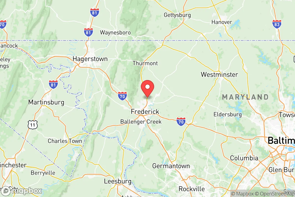
Frederick County, Maryland, sits in a strategic sweet spot that few relocators fully appreciate: close enough to the D.C. and Baltimore power centers to monitor the pulse of national events, but far enough west to offer genuine buffer space when things go sideways. The county’s position along the I-270 corridor and the MARC train line gives it a unique dual role—it’s a commuter haven in normal times, but its geography and infrastructure make it a credible fallback zone for those thinking about resilience. For a conservative-leaning audience weighing relocation against the backdrop of increasing federal instability, civil unrest, and natural disaster risks, Frederick County offers a blend of rural buffer, functional infrastructure, and community cohesion that’s increasingly rare inside the I-95 megapolis.
Geographic position and natural advantages for long-term stability
Frederick County is anchored by the city of Frederick itself, but the real strategic value lies in its western and northern reaches—places like Middletown, Brunswick, and Emmitsburg. These towns sit in the shadow of the Catoctin Mountains and South Mountain, providing natural terrain breaks that slow movement and offer defensible high ground. The county’s eastern edge, near Urbana and New Market, is more developed and closer to the D.C. orbit, but the western half remains agricultural and forested, with working farms, orchards, and rural homesteads that support a degree of self-sufficiency. The Potomac River forms the southern boundary, offering a natural water source and a barrier to easy access from Virginia. The county’s elevation—averaging 300 to 800 feet above sea level—keeps it above the worst of coastal storm surge and floodplain risks that plague areas closer to the Chesapeake Bay. For a relocator thinking about food and water security, the agricultural land in the Monocacy River valley is some of the most productive in the state, with dozens of family farms still operating under conservation easements that limit development.
Risks, exposures, and proximity to fallout-relevant landmarks
No strategic assessment is honest without acknowledging the downsides. Frederick County’s biggest exposure is its proximity to Washington, D.C., and Baltimore—both are high-value targets for any scenario involving civil unrest, EMP, or kinetic attack. The county sits roughly 45 miles from the White House and 50 miles from Baltimore’s harbor and industrial corridor. In a crisis, the I-270 and I-70 corridors would become choke points for evacuees fleeing the capital, and Frederick City itself could see a surge of refugees. The county is also within 30 miles of Fort Detrick, a U.S. Army biodefense lab in Frederick City that handles select agents and pathogens—a facility that, while essential for national security, is a potential target or source of accidental release. Additionally, the Calvert Cliffs Nuclear Power Plant is about 90 miles southeast, outside the immediate fallout zone but close enough that prevailing winds from the south could carry contamination into the county in a worst-case scenario. The county’s own infrastructure—power lines, water treatment plants, and the single major hospital (Frederick Health Hospital)—are concentrated in the city, meaning rural residents need to plan for self-reliance during extended outages. On the plus side, the county has no major oil refineries, no major ports, and no large-scale chemical plants, which reduces the risk of industrial accidents compared to areas like the Houston Ship Channel or the New Jersey Turnpike corridor.
Practical resilience for a relocator: food, water, energy, and defensibility
For a relocator serious about preparedness, Frederick County offers several concrete advantages. Water access is strong: the Potomac River, Monocacy River, and numerous creeks and springs provide surface water, and the county’s groundwater table is generally high enough for private wells in rural areas. The county’s agricultural base means that local food production is viable—there are over 1,200 farms covering roughly 40% of the land, producing dairy, beef, poultry, grains, and vegetables. Farmers’ markets and CSAs are common in towns like Walkersville and Jefferson, and the county’s right-to-farm laws protect agricultural operations from nuisance complaints, which matters if you plan to keep livestock or grow a large garden. Energy resilience is mixed: the grid is reliable in normal times, but rural areas west of Frederick City are prone to longer outages after storms due to tree cover and older infrastructure. Solar is viable—the county gets about 200 sunny days per year—and many rural properties already have backup generators or wood stoves. Defensibility is where the county shines: the western mountains and the Potomac River create natural barriers, and the rural road network (including numerous unpaved farm roads and forest service routes) offers multiple egress options that aren’t on major maps. The county’s population density is about 350 people per square mile overall, but the western half drops to under 100 per square mile, giving you room to operate without being on top of neighbors. The local gun culture is strong—Maryland’s firearm laws are restrictive, but Frederick County has a high rate of concealed carry permits and a well-established network of shooting ranges and gun clubs, which matters for both self-defense and community bonding.
The overall strategic picture for Frederick County is one of calculated trade-offs. It is not a remote bunker location—you are still within a day’s drive of the nation’s capital and all the chaos that could bring. But for a relocator who wants to stay connected to the Eastern Seaboard’s economic and political infrastructure while maintaining a credible fallback position, it’s one of the better options inside the I-95 corridor. The county’s conservative lean—it voted for Trump in 2016 and 2020, and its rural towns are heavily Republican—means you’ll find like-minded neighbors who take preparedness seriously. The key is to avoid the eastern sprawl near Urbana and stick to the western half: Middletown, Burkittsville, or even the area around Fort Ritchie (a former Army base near the Pennsylvania line that’s being redeveloped) offer the best balance of isolation, resources, and community. If you’re looking for a place that’s not too far from the action but not in the blast zone, Frederick County deserves a hard look. Just don’t expect to be invisible—the county’s very advantages mean others will have the same idea when the balloon goes up.
* Values derived from national, state, county, city and local statistics and may differ in a specific area. Last updated: 2026-05-12T21:48:14.000Z
Narrative content on this page is AI-generated and may contain mistakes. Verify any details that matter before acting on them.
ReloMaps may earn a commission from affiliate links at no extra cost to you.